×

Comoros Itinerary Planner

Tell us how many days you have, whether you want volcanic hikes, village lanes or a quiet beach, and how fast you like to move, and your Comoros route takes shape around you. Maybe that means a salt-sprayed afternoon on pale sand, or a slow climb through damp forest where the air smells of ylang-ylang. Add a start, an end or a stop you refuse to skip, and the plan bends to your pace and your priorities.

Plan
your Trip


We build
your Route


Get your
Travel Plan

🇰🇲 ComorosCreate Your Itinerary

1 How many days will you travel?
2 What are your interests?
3 Travel speed
⚙️ Advanced options

🙋 FAQItinerary planner questions about Comoros

Two days gives you a quick taste of one island, around three lets you see more of it without rushing, and about five is comfortable for a fuller route with hikes, beaches and time in the towns.
Comoros is an island nation in the Mozambique Channel with no land borders, so the practical neighbors to pair it with are Madagascar, Mozambique, Tanzania and the French island of Mayotte, all reached by flight or sea rather than overland. Madagascar and Mayotte are the closest, and Tanzania and Mozambique sit across the channel on the African coast.

Build a multi-country route
Yes. Stops are sequenced to minimize backtracking and grouped by how close they are to each other, and your chosen travel pace (fast, normal, or slow) adjusts how much ground each day covers.
Absolutely. Adjust your trip length, interests, starting point, or travel style and generate a new route in seconds.
Yes, generating and viewing your route is completely free. An offline-friendly PDF version is available as an optional purchase which gives more detailed information for each location on your route.

🗺️ RegionsThe lay of the land

Whichever part of Comoros you want to explore, the planner groups nearby places together so your days stay compact. You spend the morning on one stretch of coast or one slope of hills, with the smell of cloves or salt drifting in, rather than burning hours on rough roads between far-apart stops. Each day ends close to where the next one begins, which leaves more time for the view and the meal.

📈 StatisticsComoros travel stats

Our set of curated travel destinations for Comoros

Cities & Towns: 6      National Parks: 2      Hikes: 1      Beaches: 3      Attractions: 3     

⚙️ How it worksHow your trip comes together

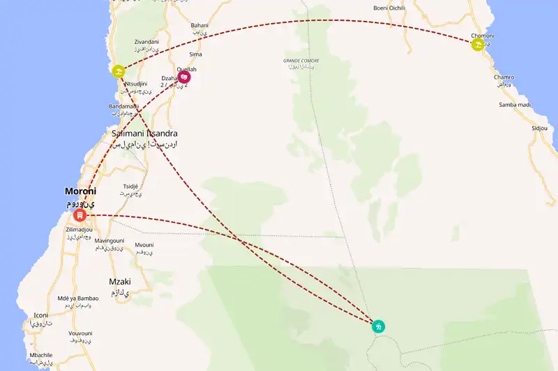
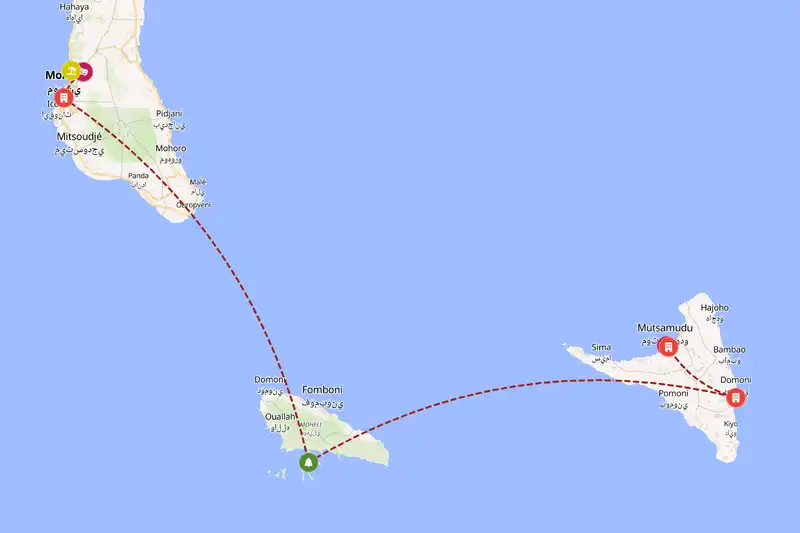
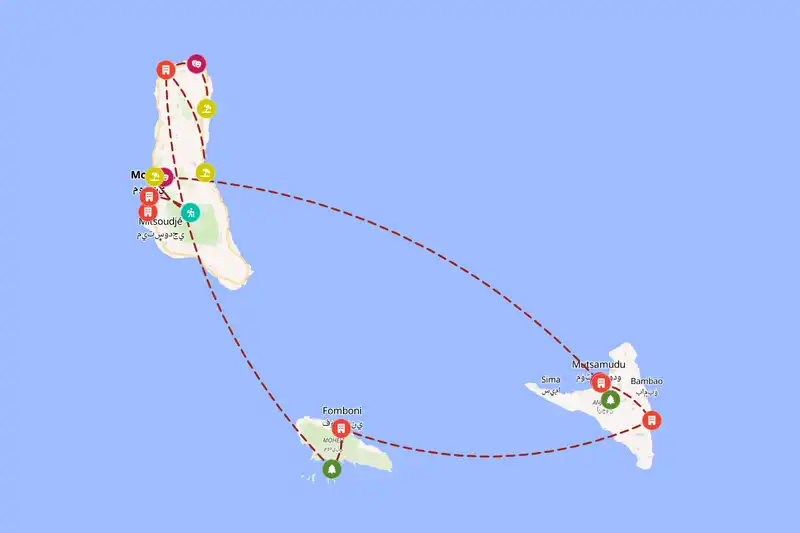
Pick your trip length, your interests (cities and towns, villages, landmarks, national parks, hikes, beaches, attractions) and a style and pace, and the planner lays out a day-by-day route from real Comoros locations. First it gathers nearby places into clusters, so you spend your time on a coastal road with the sea hissing beside you instead of doubling back over the same potholes. Then it picks one sensible direction through those clusters, so each day moves you onward and you never criss-cross the islands for no reason. Finally it decides how long each stop deserves. A town with several sights close by becomes a base where you unpack, wander the narrow lanes at dusk and eat grilled fish by a market stall, while the smaller spots around it turn into day trips you reach and return from. A lone village or viewpoint gets a shorter visit, enough for the view and a cold drink, without eating a whole day. The result is a route where every night’s bed and every morning’s start make sense on the map.