×

Equatorial Guinea🇬🇶 | hikesPico BiaoTwo-day volcanic climb, mossy cloud forest, endemic primates, guide required | things to do and best time to go

Explore Corisco Island FestivalExplore Ureka

Backpacking in Pico Biao
🏆 Top pickhike ranked #1
By Johan Kruseman 🇳🇱 | Updated October 22, 2026

Pico Biao sits inside the Gran Caldera and Southern Highlands Scientific Reserve, where the roads are few and no marked trail is maintained for visitors, so a local guide is a practical necessity. The peak stands in the south of Bioko island in Equatorial Guinea, reached from the highland side near Moka. Expect steep, muddy ascents through montane forest, frequent cloud and rain, and a climb of roughly 1,000 meters over a short distance. It is a demanding two-day outing, not a casual walk. The scenery is dense green forest, mossy ridgelines and the odd opening onto the volcanic landscape. Wildlife is the draw, with endemic primates and many forest birds. Getting to the start by public transport means a shared taxi to Moka from the capital, then a walk or local lift, and the rest is on foot. Compared with Pico Basilé, which has a road almost to the top and an antenna station, Pico Biao is wilder, quieter and far less visited.

Discover everything you want to know in the 📖 Equatorial Guinea Travel Guide.
Best time to go: May - October
Duration: 2 days
Distance: 20 kilometers
Total ascent: 1000 meters


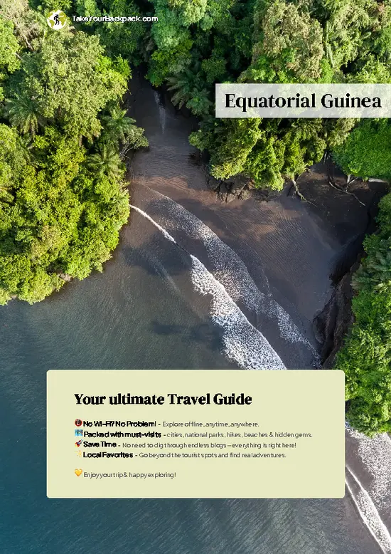
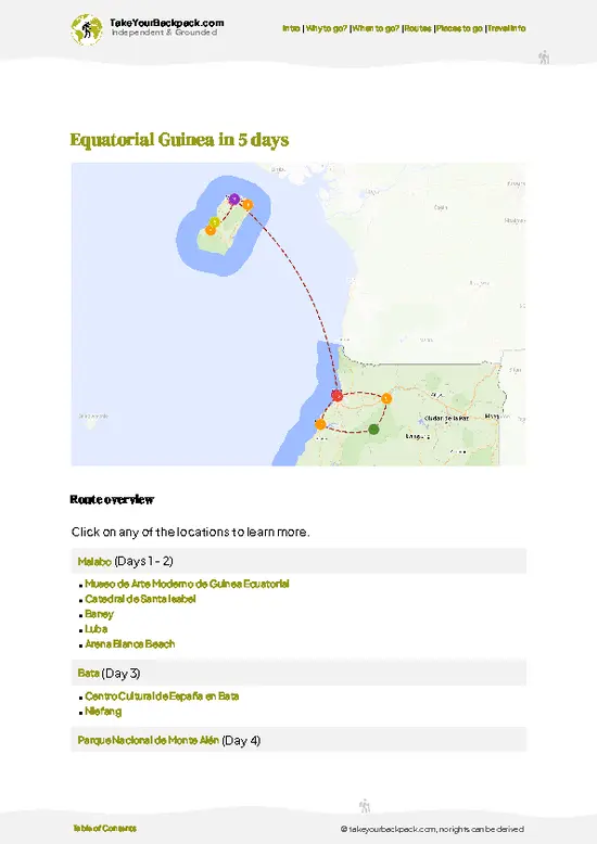
example page 0 from our offline Travel Guide for Equatorial Guinea
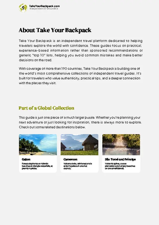
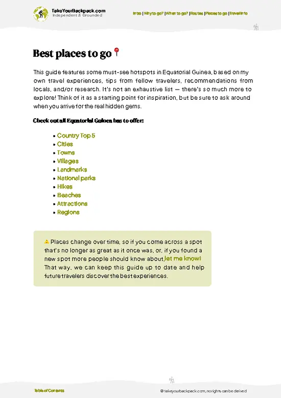
example page 1 from our offline Travel Guide for Equatorial Guinea
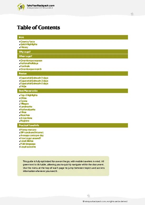
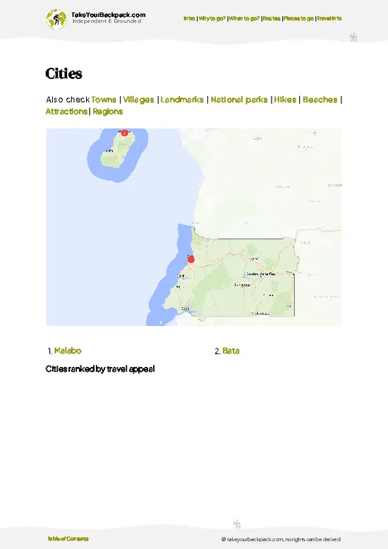
example page 2 from our offline Travel Guide for Equatorial Guinea
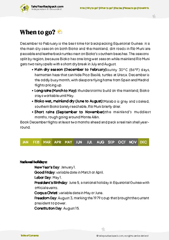
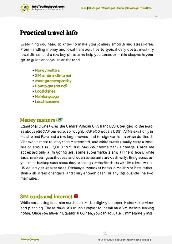
example page 3 from our offline Travel Guide for Equatorial Guinea
example page 4 from our offline Travel Guide for Equatorial Guinea
example page 5 from our offline Travel Guide for Equatorial Guinea
example page 6 from our offline Travel Guide for Equatorial Guinea
example page 7 from our offline Travel Guide for Equatorial Guinea
Loading the map 🌍
CLICK TO FILTER
cities
towns
villages
landmarks
national parks
hikes
beaches
attractions
regions
SHOW COUNTRY’S BESTSHOW ALL

✨ Why go?
Ranked #1 hike in Equatorial Guinea
Why visitors keep coming back

Pico Biao attracts the backpackers who have already done the easy summit on Bioko and want a version with no road, no crowds and real forest. The first reason is the setting: the climb passes through some of the least disturbed montane forest on Bioko, a habitat that holds several species found nowhere on the African mainland. Walking quietly with a guide, you have a fair chance of hearing drills, guenons or colobus long before you see them. The second is access from the highland village of Moka, which keeps the start reachable on shared transport and a short walk, without a private expedition. The cool air at altitude is its own appeal after the coastal heat of Malabo. The third is the flexibility: you can turn back at a ridge viewpoint, camp for a night, or push on to the summit depending … read more 👉
Pico Biao attracts the backpackers who have already done the easy summit on Bioko and want a version with no road, no crowds and real forest. The first reason is the setting: the climb passes through some of the least disturbed montane forest on Bioko, a habitat that holds several species found nowhere on the African mainland. Walking quietly with a guide, you have a fair chance of hearing drills, guenons or colobus long before you see them. The second is access from the highland village of Moka, which keeps the start reachable on shared transport and a short walk, without a private expedition. The cool air at altitude is its own appeal after the coastal heat of Malabo. The third is the flexibility: you can turn back at a ridge viewpoint, camp for a night, or push on to the summit depending on weather and legs. It also fits neatly into a longer island loop that takes in the crater lakes and the beaches of the south.

💡 HighlightsPlaces and moments you shouldn't skip

  1. Pico Biao summit: The peak itself is the objective, a volcanic high point in the southern highlands. On clear mornings the view runs over unbroken forest toward the caldera rim, but cloud often closes in by midday, so an early start matters.
  2. Moka cloud forest: The forest above Moka is cool, wet and thick with moss, ferns and epiphytes. Trunks are draped in green, and the temperature drop compared with the coast is noticeable within the first hour of walking.
  3. Lake Loreto (Laguna Loreto): This crater lake near Moka makes a calm side stop before or after the climb. The water sits in a forested bowl, and the quiet is broken mostly by birds and frogs.
  4. Gran Caldera de Luba rim: The huge collapsed volcanic basin lies close to the Pico Biao area, and ridge sections give a sense of its scale. It is one
… read more 👉
  1. Pico Biao summit: The peak itself is the objective, a volcanic high point in the southern highlands. On clear mornings the view runs over unbroken forest toward the caldera rim, but cloud often closes in by midday, so an early start matters.
  2. Moka cloud forest: The forest above Moka is cool, wet and thick with moss, ferns and epiphytes. Trunks are draped in green, and the temperature drop compared with the coast is noticeable within the first hour of walking.
  3. Lake Loreto (Laguna Loreto): This crater lake near Moka makes a calm side stop before or after the climb. The water sits in a forested bowl, and the quiet is broken mostly by birds and frogs.
  4. Gran Caldera de Luba rim: The huge collapsed volcanic basin lies close to the Pico Biao area, and ridge sections give a sense of its scale. It is one of the most remote landscapes on Bioko, with very little trace of settlement.
  5. Bioko primates: The island is home to drills, Preuss’s guenons and Pennant’s red colobus, each a subspecies or species found on Bioko. Sightings are never guaranteed, but listening for crashing branches and calls in the early hours is the best strategy.
Start with the Moka cloud forest and Lake Loreto, since a short walk there shows you how the weather and terrain behave before you commit to the full climb.
Spotted a mistake or missing something? Contact us.

🌤️ When to go?When to go for the best experience

  • Dry Season (December to February): Pico Biao on Bioko Island is easiest to climb now, with the clearest trail and the best odds of summit views. Expect 22 to 30°C (72 to 86°F) in the lowlands and roughly 8 to 14°C (46 to 57°F) near the top at night. Dust haze from the Harmattan can blur distant views.
  • Transition Months (March to May): Showers build through the afternoons, and cloud settles on the ridge by midday. Start at first light. Daytime temperatures hold at 24 to 30°C (75 to 86°F).
  • Wet Season (June to October): Rain falls most days and the peak sits in cloud almost constantly. The trail turns to slick mud, and the temperature drops to 10 to 16°C (50 to 61°F) on the upper slopes. Views are rare.
  • Late Wet Season (November): Rains ease, and the trail begins to firm up.
Daylight stays close … read more 👉
  • Dry Season (December to February): Pico Biao on Bioko Island is easiest to climb now, with the clearest trail and the best odds of summit views. Expect 22 to 30°C (72 to 86°F) in the lowlands and roughly 8 to 14°C (46 to 57°F) near the top at night. Dust haze from the Harmattan can blur distant views.
  • Transition Months (March to May): Showers build through the afternoons, and cloud settles on the ridge by midday. Start at first light. Daytime temperatures hold at 24 to 30°C (75 to 86°F).
  • Wet Season (June to October): Rain falls most days and the peak sits in cloud almost constantly. The trail turns to slick mud, and the temperature drops to 10 to 16°C (50 to 61°F) on the upper slopes. Views are rare.
  • Late Wet Season (November): Rains ease, and the trail begins to firm up.
Daylight stays close to twelve hours all year, so plan on finishing by mid-afternoon. Crowds are minimal in every month, and transport and guide prices barely change. Book a mid-week start in January for the clearest odds.


source: climatestotravel.comJANJanuary: fair for travelingFEBFebruary: fair for travelingMARMarch: fair for travelingAPRApril: fair for travelingMAYMay: good for travelingJUNJune: excellent for travelingJULJuly: excellent for travelingAUGAugust: excellent for travelingSEPSeptember: excellent for travelingOCTOctober: good for travelingNOVNovember: fair for travelingDECDecember: fair for traveling
when-to-go

✈️ The backpacker research shortcutEquatorial Guinea Travel Guide

An offline-friendly backpacking guide with optimized travel routes, ranked highlights, transport advice, and the best areas to stay.
example page 0 from our offline Travel Guide for Equatorial Guinea
example page 1 from our offline Travel Guide for Equatorial Guinea
example page 2 from our offline Travel Guide for Equatorial Guinea
example page 3 from our offline Travel Guide for Equatorial Guinea
example page 4 from our offline Travel Guide for Equatorial Guinea
example page 5 from our offline Travel Guide for Equatorial Guinea
example page 6 from our offline Travel Guide for Equatorial Guinea
example page 7 from our offline Travel Guide for Equatorial Guinea
The digital guide (174 pages) contains:
✅ 36 highlights, ranked by travel appeal
✅ Optimized 2, 3 & 5-day travel routes
✅ Cities, national parks, landmarks, beaches
✅ How to get around
✅ Offline-friendly for travel without Wi-Fi
👉 Click to see all 30+ guide features

📅 Plan smarter in minutes, not weeks
✅ Month by month travel advice
✅ Festivals & national holidays
✅ Budget expectations

🗺️ Go to the right places, skip the overrated ones
✅ Honest pros & cons of destinations
✅ Top hikes, parks & viewpoints
✅ Lesser-known places most travelers miss
✅ Clear “worth it vs skip it” guidance

🛏️ Travel smoothly without rookie mistakes
✅ Best areas to stay
✅ Transport systems explained simply
✅ Common scams & safety advice
✅ SIM cards, money & practical tips

🌍 Understand the country, not just visit it
✅ Culture & traditions
✅ 52 Essential phrases & customs
✅ Festivals worth planning around
✅ Traveler-friendly historical context
✅ Insights that make places more meaningful

📱 Built for real travel conditions
✅ Fully downloadable PDF
✅ Works completely offline
✅ Optimized for phone use
✅ Useful in remote areas & buses
✅ Everything in one place
Stop searching, start planning
Get instant access to your full guide. 30‑day money-back guarantee.
+ Add another guide for just

By proceeding you agree to our terms.
Sent to your inbox immediately after payment • 100% Secure Checkout
Best Backpacking Travel Advisor 2025 tourism awardBest Backpacking
Travel Advisor
2025
What others say about Take Your Backpack Guides:
⭐⭐⭐⭐⭐
Fantastic, amazing amount of information!
⭐⭐⭐⭐⭐
My goodness this is amazing, it's what I've been looking for hats off too you!
⭐⭐⭐⭐⭐
I think this is absolutely BRILLIANT
⭐⭐⭐⭐
Very complete and informative. It's still missing places, but I gotta to commend you
⭐⭐⭐⭐⭐
This is truly amazing, thank you, can't wait to explore it with my kids!
⭐⭐⭐⭐⭐
Awesome resource, thank you!
⭐⭐⭐⭐⭐
This is amazing! Can't wait to explore the ones I haven't seen
⭐⭐⭐⭐
I love this! Well done, great idea.
⭐⭐⭐⭐⭐
Thanks for taking the time to make this gem!
⭐⭐⭐⭐⭐
This might be the best website I've ever seen.
⭐⭐⭐⭐⭐
Congratulations, and thank you so much for your work; it's incredibly valuable.
⭐⭐⭐⭐
In all seriousness I think you did a great job pointing out the important spots
⭐⭐⭐⭐⭐
10/10 very good
⭐⭐⭐⭐⭐
As someone who's only just starting to visit regularly this is awesome, thank you.
⭐⭐⭐⭐
Thank you very much! I'm going to visit my dad, it's going to be very useful!
⭐⭐⭐⭐⭐
This is really cool! We'll be travelling for the first time and this definitely come in handy.
⭐⭐⭐⭐⭐
You are now our minister of culture, congratulations 👨‍💼
⭐⭐⭐⭐⭐
Just wanted to tell you that this is a pearl! Going to follow your recommendations.
⭐⭐⭐⭐⭐
This is so cool. I'll definitely be using the resource for my travels soon.
⭐⭐⭐⭐⭐
This is very impressive! Good work.
⭐⭐⭐⭐⭐
This is an amazing and informative site. Very well done!

🛏️ Where to stay?Best areas and accommodation options

If you enjoy meeting fellow travelers, consider choosing hostels with high ratings for atmosphere. On the other hand, if you prefer having your own space, a hotel might be a better option.

🥾 Hike detailsRoute, distance, and difficulty explained

Total Distance: Pico Biao is roughly 20 kilometers return from the highland start, depending on the route your guide takes.
Estimated Duration: Plan on two days, with a night camping or in a basic shelter, or a very long single day for strong hikers.
Difficulty: Demanding. Trails are faint, slippery and often unmarked, and navigation needs a local guide.
Starting Point: The walk begins in the highlands near Moka.
  • Public Transport: Shared taxis run from Malabo toward Moka, a long ride by road, and the last stretch is usually covered on foot or by a local lift.
  • Permission: The area lies in a protected
… read more 👉
Total Distance: Pico Biao is roughly 20 kilometers return from the highland start, depending on the route your guide takes.
Estimated Duration: Plan on two days, with a night camping or in a basic shelter, or a very long single day for strong hikers.
Difficulty: Demanding. Trails are faint, slippery and often unmarked, and navigation needs a local guide.
Starting Point: The walk begins in the highlands near Moka.
  • Public Transport: Shared taxis run from Malabo toward Moka, a long ride by road, and the last stretch is usually covered on foot or by a local lift.
  • Permission: The area lies in a protected reserve, so arrange access and a guide beforehand.
Major Landmarks:
  • Moka: A cool highland village and the usual staging point.
  • Lake Loreto: A crater lake close to the start.
  • Ridge viewpoints: Occasional breaks in the canopy with views toward the caldera.
  • Summit: A forested volcanic peak with limited views when cloudy.
Terrain and Scenery: Steep, root-tangled slopes, mud, stream crossings and volcanic soils. The ridge sections open briefly onto sweeping green landscapes.
Vegetation: Montane forest with tree ferns, moss, orchids and giant buttressed trees, giving way to lower, more stunted growth near the top.
Wildlife: Drills, guenons and red colobus monkeys, plus forest birds, frogs and many insects. Leeches and biting ants are common underfoot.
Practical Notes: Bring waterproofs, boots with real grip, a water filter and warm layers for the night, as the highlands are cool and damp.
⚠️ Hiking info can sometimes be outdated or inaccurate. Before you hit the trail, check the latest conditions with locals. If you do spot anything that's off, I'd love to hear from you, so I can update it for fellow travelers.

🛡️ SafetyScams, Hazards, and Annoyances

Pico Biao is a steady but unforgiving climb, and the main hazards are weather and fitness rather than wildlife. Cloud and rain arrive fast above the forest line, dropping temperatures sharply, so carry a waterproof shell and a warm layer even if the base is hot. The trail is steep, rooted and muddy, and footing slips most on the descent, so wear boots with real grip and use poles if you have them. Navigation through the forest and cloud is confusing, so go with a local guide who knows the route. Pace yourself on the way up, drink regularly, and carry more water than seems necessary because humidity drains you. Start early to finish in daylight. Bioko’s primates, including drills, are hunted in places and wary, so give any animals you meet distance and never feed them. Tell someone your plan … read more 👉
Pico Biao is a steady but unforgiving climb, and the main hazards are weather and fitness rather than wildlife. Cloud and rain arrive fast above the forest line, dropping temperatures sharply, so carry a waterproof shell and a warm layer even if the base is hot. The trail is steep, rooted and muddy, and footing slips most on the descent, so wear boots with real grip and use poles if you have them. Navigation through the forest and cloud is confusing, so go with a local guide who knows the route. Pace yourself on the way up, drink regularly, and carry more water than seems necessary because humidity drains you. Start early to finish in daylight. Bioko’s primates, including drills, are hunted in places and wary, so give any animals you meet distance and never feed them. Tell someone your plan before leaving, and bring a charged phone, since signal is patchy.

FAQFrequently asked questions about Pico Biao

Pico Biao takes most hikers two days: a long ascent to the summit area followed by a descent, typically 6 to 9 hours up and 4 to 6 hours down. Many groups camp or overnight near the upper slopes to catch clearer morning views. Fast, fit hikers sometimes manage a very long single-day push from the Moka or Malabo side, but a two-day plan is safer.
Pico Biao is a moderate to hard hike, mainly because of the steep gradient, muddy footing and a summit around 3,010 meters (9,875 feet). Total climbing is substantial, and cold, wet weather near the top adds to the effort. Good fitness, sturdy boots and rain gear are needed, though no technical climbing skills are required.
Pico Biao is best done with a local guide, and hiring one is strongly advised because the trail through forest and cloud is hard to follow. Guides are usually arranged in Malabo or through tour operators, with costs typically around €40 to 100 per group depending on days and transport. Check current permit requirements for the Pico Basilé area with local authorities or your operator before you go, as arrangements can change.
⚠️ Things can change over time, so always validate details locally before you go.

Ideas for continuing your journey

Pico Biao isn’t the only highlight in Equatorial Guinea. Explore all what Equatorial Guinea has to offer.
Country photo of Equatorial Guinea

We 💚 feedbackWhat to keep in mind

Pico Biao suits patient, self-sufficient hikers who care more about forest and wildlife than a tidy summit photo. Hire a guide who knows the ridges, pack for rain regardless of the forecast, and start at first light. If you only want a view, take the easier road to another peak on Bioko and save this one for another trip.

✍️ Help improve this page!
The information on this page is based on in-depth research, insights shared by experienced travelers, and feedback from the local travel community in Equatorial Guinea. While every effort is made to keep the information accurate and current, conditions can change — so if you spot anything incorrect or outdated, please get in touch.


🙋‍♂️ Give feedback

👋 Meet the founderWho’s Behind Take Your Backpack?

Johan, backpacker and founder of TakeYourBackpackHi, I’m Johan (Netherlands 🇳🇱), the creator of TakeYourBackpack. Over the past 3 decades, I’ve backpacked through 90+ countries across six continents, gaining extensive experience with independent travel, long-term trips, and overland routes.

This site is built on a combination of firsthand travel experience and carefully curated insights from other backpackers. Many guides are based on places I’ve personally visited, while others bring together tips, observations, and practical advice shared by trusted travelers I’ve met along the way.

The goal is to provide realistic, experience-driven guidance — not generic itineraries — so you can explore destinations with better context, clearer expectations, and more confidence.