×

Malawi🇲🇼 | hikesMount MulanjeMulti-day huts, Sapitwa scramble, Likhubula Gorge, cedar ravines | things to do and best time to go

Explore Mwezi Wawala FestivalExplore Nyika Plateau

Backpacking in Mount Mulanje
🏆 Top pickhike ranked #1
By Johan Kruseman 🇳🇱 | Updated October 22, 2026

Your boots slip on wet granite while cold mist pours over the Sapitwa ridge, and the air smells of resinous Mulanje cedar and woodsmoke from the porters’ fires. Mount Mulanje rises from the tea estates of southern Malawi, about 65 kilometers east of Blantyre, and its highest point, Sapitwa Peak, stands at 3,002 meters. The scenery is the draw: sheer rock faces, deep forested ravines, plunging streams with natural pools, and plateaus of grassland. Hikes run from a day trip to a week hopping between basic huts, and most routes are steep with real altitude gain. Sapitwa itself needs hands-on scrambling. Minibuses reach Mulanje town and Phalombe side villages easily from Blantyre, but the trailheads are a further ride away. Guides and porters are compulsory at the forest reserve and the logistics take some organizing. Weather turns fast, with cloud and cold even in sunshine. Fit hikers who like huts and simple food will love it most. Anyone wanting groomed trails, luxury or a guaranteed summit view will not.

Discover everything you want to know in the 📖 Malawi Travel Guide.
Best time to go: May - October
Duration: 3 days
Distance: 45 kilometers
Total ascent: 1800 meters


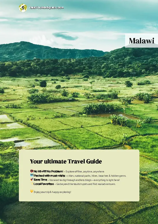
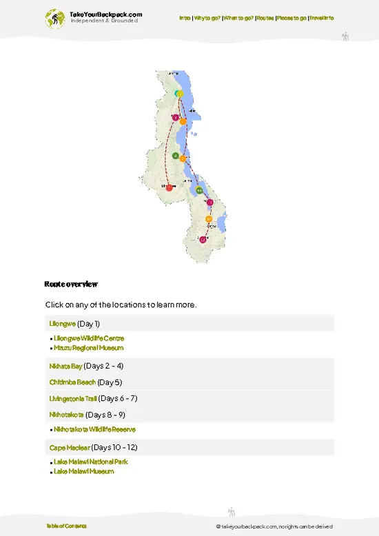
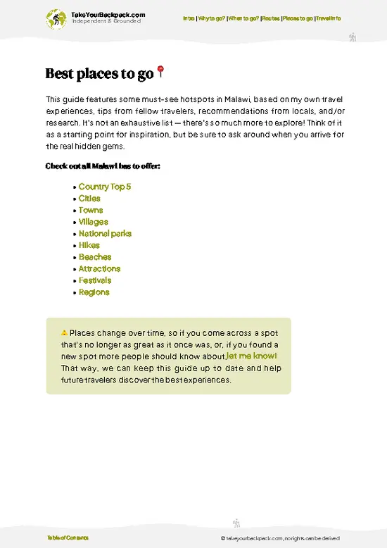
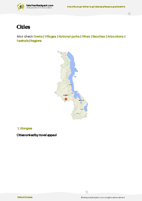
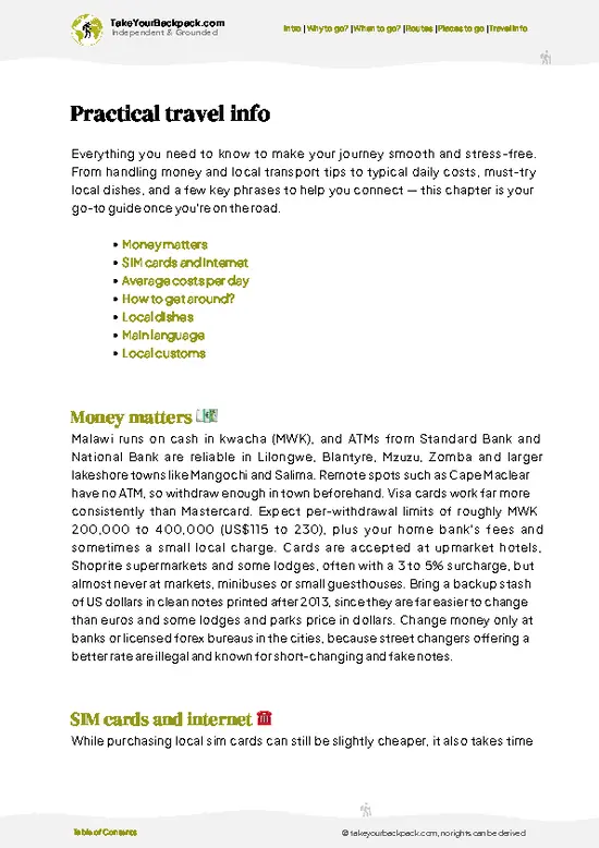
example page 0 from our offline Travel Guide for Malawi
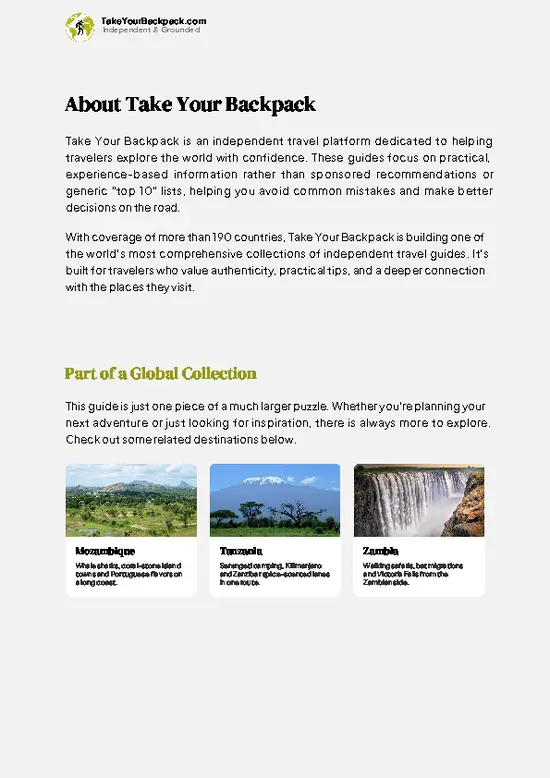
example page 1 from our offline Travel Guide for Malawi
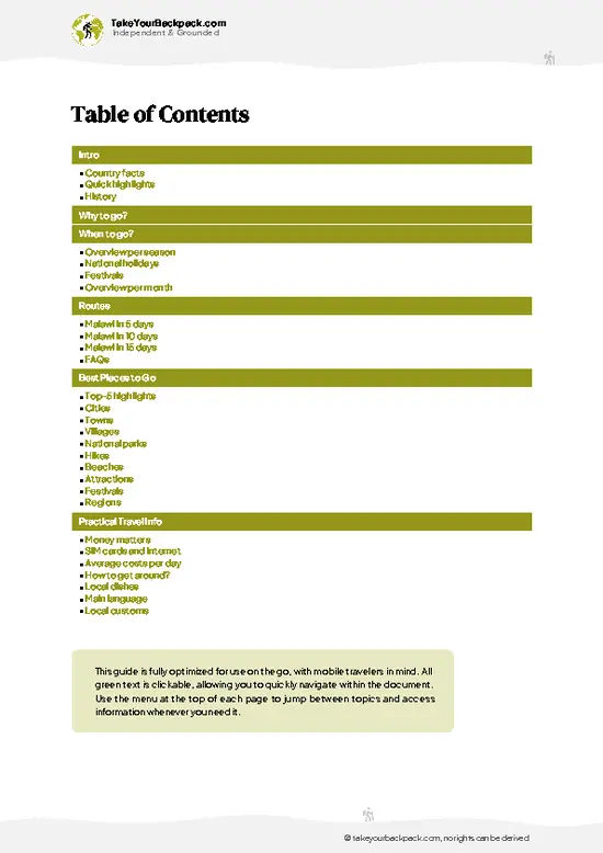
example page 2 from our offline Travel Guide for Malawi
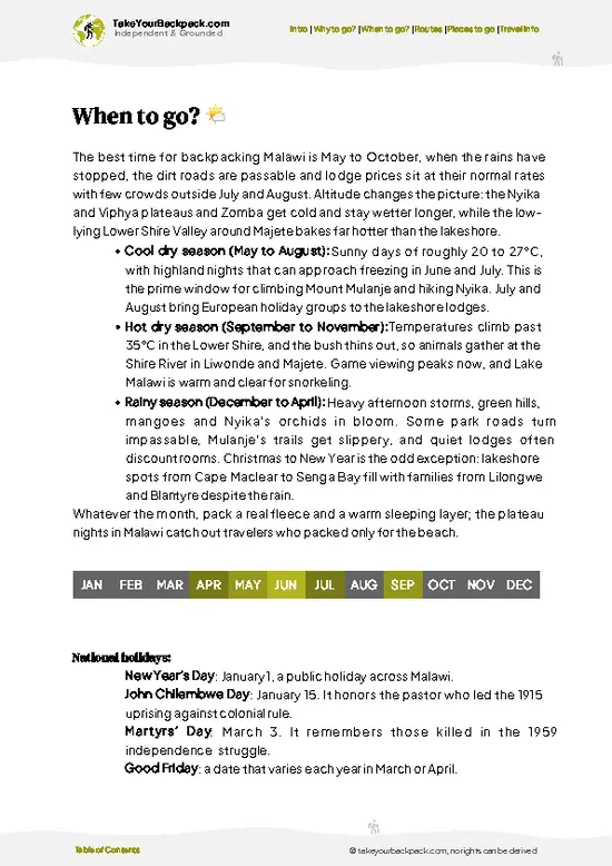
example page 3 from our offline Travel Guide for Malawi
example page 4 from our offline Travel Guide for Malawi
example page 5 from our offline Travel Guide for Malawi
example page 6 from our offline Travel Guide for Malawi
example page 7 from our offline Travel Guide for Malawi
Loading the map 🌍
CLICK TO FILTER
cities
towns
villages
national parks
hikes
beaches
attractions
festivals
regions
SHOW COUNTRY’S BESTSHOW ALL

✨ Why go?
Ranked #1 hike in Malawi
What sets this place apart

Mount Mulanje gives you a full mountain wilderness for a modest price, since the huts, guides and porters are run by the Mulanje Mountain Conservation Trust and cost far less than comparable treks in East Africa. The network of around 10 forestry huts lets you string together routes of any length, from a single overnight on the plateau to a loop of five or six days across the massif. Each hut has a caretaker, firewood and a wild setting, so you carry only food and a sleeping bag. The second reason is the contrast with the surroundings. You start among the green tea estates and finish on cool grassland where Mulanje cedar, Malawi’s national tree, grows in sheltered ravines and the air is thin and cold. Sapitwa Peak, the “place you should not go” in local belief, adds a dose of folklore and … read more 👉
Mount Mulanje gives you a full mountain wilderness for a modest price, since the huts, guides and porters are run by the Mulanje Mountain Conservation Trust and cost far less than comparable treks in East Africa. The network of around 10 forestry huts lets you string together routes of any length, from a single overnight on the plateau to a loop of five or six days across the massif. Each hut has a caretaker, firewood and a wild setting, so you carry only food and a sleeping bag. The second reason is the contrast with the surroundings. You start among the green tea estates and finish on cool grassland where Mulanje cedar, Malawi’s national tree, grows in sheltered ravines and the air is thin and cold. Sapitwa Peak, the “place you should not go” in local belief, adds a dose of folklore and a proper scramble to the climb. It also fits neatly onto a southern Malawi route between Blantyre and Lake Malawi.

💡 HighlightsThe experiences that define the visit

  1. Sapitwa Peak: The highest point in central southern Africa at 3,002 meters, and the name every hiker asks about. The final stretch is a boulder scramble through mist and cedar-lined gullies, and clouds often cover the summit by midday.
  2. Likhubula Gorge and Falls: The classic approach from the Likhubula forestry office, with a path that follows a rushing river through indigenous forest. Pools along the way are cold and clear, and make an easy swim after a hot day.
  3. Chambe Peak: A dramatic rock wall of about 1,000 meters on the western side, famous among climbers and a steep alternative for experienced hikers. The view down across the tea fields is the reward.
  4. Lichenya Plateau: A broad, high grassland with a hut, reached by long climbs, where mist drifts over the meadows and the night is notably
… read more 👉
  1. Sapitwa Peak: The highest point in central southern Africa at 3,002 meters, and the name every hiker asks about. The final stretch is a boulder scramble through mist and cedar-lined gullies, and clouds often cover the summit by midday.
  2. Likhubula Gorge and Falls: The classic approach from the Likhubula forestry office, with a path that follows a rushing river through indigenous forest. Pools along the way are cold and clear, and make an easy swim after a hot day.
  3. Chambe Peak: A dramatic rock wall of about 1,000 meters on the western side, famous among climbers and a steep alternative for experienced hikers. The view down across the tea fields is the reward.
  4. Lichenya Plateau: A broad, high grassland with a hut, reached by long climbs, where mist drifts over the meadows and the night is notably cold. It is a great base for side walks.
  5. Mulanje cedar forest: Pockets of the endangered Widdringtonia whytei, with fragrant wood that gives the mountain its smell. The old trunks are an unusual sight, and the ravine forests ring with bird calls.
Mount Mulanje’s cheapest highlight is the Likhubula Gorge, since a short walk to its lower pools needs little more than a modest forest reserve fee and a guide.
Spotted a mistake or missing something? Contact us.

🌤️ When to go?When to go for the best experience

  • Cool Dry Season (May to August): Mount Mulanje is at its most comfortable for walking, with almost no rain, huts at 2,000 m (6,600 ft) sitting around 5 to 12°C (41 to 54°F) at night and days of 18 to 25°C (64 to 77°F). Sapitwa summit mornings can touch near freezing. Daylight runs roughly 11.5 to 12 hours. Porter and guide rates stay steady, but July is the busiest month.
  • Hot Dry Season (September to November): Lower slopes climb to 28 to 34°C (82 to 93°F), so start at dawn. Streams shrink, plunge pools like those on the Likhubula side are still swimmable, and bush fires can haze the views. Quiet trails, with rates unchanged.
  • Rainy Season (December to April): Expect daily downpours, cloud sitting on the plateau, slippery granite and swollen rivers, with highs of 22 to 28°C (72 to 82°F) below
… read more 👉
  • Cool Dry Season (May to August): Mount Mulanje is at its most comfortable for walking, with almost no rain, huts at 2,000 m (6,600 ft) sitting around 5 to 12°C (41 to 54°F) at night and days of 18 to 25°C (64 to 77°F). Sapitwa summit mornings can touch near freezing. Daylight runs roughly 11.5 to 12 hours. Porter and guide rates stay steady, but July is the busiest month.
  • Hot Dry Season (September to November): Lower slopes climb to 28 to 34°C (82 to 93°F), so start at dawn. Streams shrink, plunge pools like those on the Likhubula side are still swimmable, and bush fires can haze the views. Quiet trails, with rates unchanged.
  • Rainy Season (December to April): Expect daily downpours, cloud sitting on the plateau, slippery granite and swollen rivers, with highs of 22 to 28°C (72 to 82°F) below and 10 to 18°C (50 to 64°F) up top. Waterfalls peak and the plateau turns green. Days run close to 13 hours of light, and you will often have the huts to yourself.
Book your guide a few days ahead in July and August, and aim to be on the trail by 7 am.


source: climatestotravel.comJANJanuary: below average for travelingFEBFebruary: below average for travelingMARMarch: below average for travelingAPRApril: fair for travelingMAYMay: highly recommended for travelingJUNJune: excellent for travelingJULJuly: excellent for travelingAUGAugust: excellent for travelingSEPSeptember: excellent for travelingOCTOctober: highly recommended for travelingNOVNovember: below average for travelingDECDecember: below average for traveling
when-to-go

✈️ The backpacker research shortcutMalawi Travel Guide

An offline-friendly backpacking guide with optimized travel routes, ranked highlights, transport advice, and the best areas to stay.
example page 0 from our offline Travel Guide for Malawi
example page 1 from our offline Travel Guide for Malawi
example page 2 from our offline Travel Guide for Malawi
example page 3 from our offline Travel Guide for Malawi
example page 4 from our offline Travel Guide for Malawi
example page 5 from our offline Travel Guide for Malawi
example page 6 from our offline Travel Guide for Malawi
example page 7 from our offline Travel Guide for Malawi
The digital guide (263 pages) contains:
✅ 65 highlights, ranked by travel appeal
✅ Optimized 5, 10 & 15-day travel routes
✅ Cities, national parks, landmarks, beaches
✅ How to get around
✅ Offline-friendly for travel without Wi-Fi
👉 Click to see all 30+ guide features

📅 Plan smarter in minutes, not weeks
✅ Month by month travel advice
✅ Festivals & national holidays
✅ Budget expectations

🗺️ Go to the right places, skip the overrated ones
✅ Honest pros & cons of destinations
✅ Top hikes, parks & viewpoints
✅ Lesser-known places most travelers miss
✅ Clear “worth it vs skip it” guidance

🛏️ Travel smoothly without rookie mistakes
✅ Best areas to stay
✅ Transport systems explained simply
✅ Common scams & safety advice
✅ SIM cards, money & practical tips

🌍 Understand the country, not just visit it
✅ Culture & traditions
✅ 52 Essential phrases & customs
✅ Festivals worth planning around
✅ Traveler-friendly historical context
✅ Insights that make places more meaningful

📱 Built for real travel conditions
✅ Fully downloadable PDF
✅ Works completely offline
✅ Optimized for phone use
✅ Useful in remote areas & buses
✅ Everything in one place
Stop searching, start planning
Get instant access to your full guide. 30‑day money-back guarantee.
+ Add another guide for just

By proceeding you agree to our terms.
Sent to your inbox immediately after payment • 100% Secure Checkout
Best Backpacking Travel Advisor 2025 tourism awardBest Backpacking
Travel Advisor
2025
What others say about Take Your Backpack Guides:
⭐⭐⭐⭐⭐
Fantastic, amazing amount of information!
⭐⭐⭐⭐⭐
My goodness this is amazing, it's what I've been looking for hats off too you!
⭐⭐⭐⭐⭐
I think this is absolutely BRILLIANT
⭐⭐⭐⭐
Very complete and informative. It's still missing places, but I gotta to commend you
⭐⭐⭐⭐⭐
This is truly amazing, thank you, can't wait to explore it with my kids!
⭐⭐⭐⭐⭐
Awesome resource, thank you!
⭐⭐⭐⭐⭐
This is amazing! Can't wait to explore the ones I haven't seen
⭐⭐⭐⭐
I love this! Well done, great idea.
⭐⭐⭐⭐⭐
Thanks for taking the time to make this gem!
⭐⭐⭐⭐⭐
This might be the best website I've ever seen.
⭐⭐⭐⭐⭐
Congratulations, and thank you so much for your work; it's incredibly valuable.
⭐⭐⭐⭐
In all seriousness I think you did a great job pointing out the important spots
⭐⭐⭐⭐⭐
10/10 very good
⭐⭐⭐⭐⭐
As someone who's only just starting to visit regularly this is awesome, thank you.
⭐⭐⭐⭐
Thank you very much! I'm going to visit my dad, it's going to be very useful!
⭐⭐⭐⭐⭐
This is really cool! We'll be travelling for the first time and this definitely come in handy.
⭐⭐⭐⭐⭐
You are now our minister of culture, congratulations 👨‍💼
⭐⭐⭐⭐⭐
Just wanted to tell you that this is a pearl! Going to follow your recommendations.
⭐⭐⭐⭐⭐
This is so cool. I'll definitely be using the resource for my travels soon.
⭐⭐⭐⭐⭐
This is very impressive! Good work.
⭐⭐⭐⭐⭐
This is an amazing and informative site. Very well done!

🛏️ Where to stay?Where staying makes the most sense

If you enjoy meeting fellow travelers, consider choosing hostels with high ratings for atmosphere. On the other hand, if you prefer having your own space, a hotel might be a better option.

🥾 Hike detailsRoute, distance, and difficulty explained

Total Distance: Mount Mulanje has no single fixed route, but a typical multi-day circuit across the plateaus covers roughly 40 to 60 kilometers, and day hikes run 8 to 20 kilometers.
Duration: Plan 1 day for Likhubula Falls, 2 to 3 days for Sapitwa, and up to 5 or 6 days for a plateau loop.
Difficulty: Moderate to demanding. Climbs of 1,000 meters or more are common, paths are steep and rocky, and Sapitwa involves scrambling.
Starting Point:
  • Likhubula Forestry Office: The main base for guides, porters and hut bookings, reached by minibus to Mulanje town and then a short local ride.
  • Phalombe and Chambe
… read more 👉
Total Distance: Mount Mulanje has no single fixed route, but a typical multi-day circuit across the plateaus covers roughly 40 to 60 kilometers, and day hikes run 8 to 20 kilometers.
Duration: Plan 1 day for Likhubula Falls, 2 to 3 days for Sapitwa, and up to 5 or 6 days for a plateau loop.
Difficulty: Moderate to demanding. Climbs of 1,000 meters or more are common, paths are steep and rocky, and Sapitwa involves scrambling.
Starting Point:
  • Likhubula Forestry Office: The main base for guides, porters and hut bookings, reached by minibus to Mulanje town and then a short local ride.
  • Phalombe and Chambe sides: Alternative trailheads, used for routes toward Chambe Peak and the northern plateaus.
Major Landmarks:
  • Chambe Hut: A popular overnight stop on the western plateau.
  • Lichenya Hut: A high plateau stay beside a stream.
  • Sapitwa Hut: The base for the highest summit push.
  • Chisepo Hut: A remote stop in the interior.
Terrain and Scenery: Granite slabs, steep ravines, waterfalls, open grassland and cliff walls that drop toward the surrounding plains and tea estates.
Vegetation: Mulanje cedar in ravines, montane forest at mid-altitude, bracken and rolling grass on the plateaus, and wildflowers after the rains.
Wildlife: Mostly small. Expect birds such as the cholo alethe and other forest species, plus klipspringer, baboons and occasional leopard signs.
⚠️ Hiking info can sometimes be outdated or inaccurate. Before you hit the trail, check the latest conditions with locals. If you do spot anything that's off, I'd love to hear from you, so I can update it for fellow travelers.

🛡️ SafetyTraveler Safety Guide

Mount Mulanje is a well-run hiking massif where the main hazard is weather, not people or wildlife. Cloud and rain can close in within minutes on the plateau, even in the dry season, and temperatures at the huts drop sharply after dark. Pack a proper rain jacket, a warm layer and a sleeping bag rated to about 0°C (32°F). The granite is smooth and slick when wet, so wear boots with real tread and shorten your stride on descents. Trails are faint on the plateau and cairns vanish in fog, which is why a Mulanje Mountain Conservation Trust guide is the practical choice, and the porters carry heavy loads while setting a steady pace for you. Rivers can swell and block crossings after heavy rain, so wait rather than force them. Wildlife is minimal and rarely a concern. Carry sunscreen, because exposure … read more 👉
Mount Mulanje is a well-run hiking massif where the main hazard is weather, not people or wildlife. Cloud and rain can close in within minutes on the plateau, even in the dry season, and temperatures at the huts drop sharply after dark. Pack a proper rain jacket, a warm layer and a sleeping bag rated to about 0°C (32°F). The granite is smooth and slick when wet, so wear boots with real tread and shorten your stride on descents. Trails are faint on the plateau and cairns vanish in fog, which is why a Mulanje Mountain Conservation Trust guide is the practical choice, and the porters carry heavy loads while setting a steady pace for you. Rivers can swell and block crossings after heavy rain, so wait rather than force them. Wildlife is minimal and rarely a concern. Carry sunscreen, because exposure on the open rock is stronger than it feels, and treat stream water before drinking. Leave valuables in your lodge at the base.

FAQCommon questions from travelers

Most hikers spend 2 to 4 days on Mount Mulanje, while a one-day walk to Chambe Plateau or the Likhubula pools takes 5 to 7 hours round trip. A typical hut-to-hut route runs from Likhubula up to Chisepo or Chambe huts on day one (4 to 6 hours), then across the plateau. Climbing Sapitwa Peak (3,002 m, 9,849 ft) adds a long day of 6 to 8 hours from the huts.
Mount Mulanje ranges from moderate to demanding depending on your route. Day walks to Chambe Plateau gain roughly 1,000 m (3,300 ft) over 4 to 5 hours on steep, rocky paths, which suits anyone with reasonable fitness. Sapitwa is the toughest part, with scrambling, route-finding in cloud and big boulder steps, but it needs no technical gear.
Yes, on Mount Mulanje you should hire a guide, and in practice you must arrange one through the Mulanje Mountain Conservation Trust office at Likhubula. Expect to pay roughly US$10 to 15 per day for a guide and about US$7 to 10 per day per porter, plus a small park fee and hut fees of around US$3 to 5 per person per night. No separate permit is needed beyond these fees, and the office can set up porters, food and hut bookings.
⚠️ Things can change over time, so always validate details locally before you go.

Other Malawian hikes near Mount Mulanje

Explore more nearby:

  • Sapitwa Peak—3,002-meter summit, two-day push, rock chimneys, Sapitwa Hut| 8 km away
  • Zomba Plateau—Williams Falls, plateau escarpment, Emperor’s View, Mulunguzi Dam| 75 km away
  • Chikala Hills Trail—Granite rock art shelters, guided climb, Lake Chilwa views, miombo path| 90 km away

💡 Not sure where to go next?
Create a personalized itinerary for Malawi including Mount Mulanje and the places that fit your trip.

Generate my itinerary

👉 Discover all hikes

Or checkout all Malawi has to offer (think cities, towns, villages, national parks, hikes, beaches, festivals)
Country photo of Malawi

We 💚 feedbackIs it worth it?

Mount Mulanje pairs well with a few days around Blantyre or the tea estates beforehand, then a leisurely move north to Lake Malawi to soak tired legs. I would carry a warm layer and a rain jacket even in dry weather, and skip any tight schedule, because mist can close down a summit day.

✍️ Help improve this page!
The information on this page is based on in-depth research, insights shared by experienced travelers, and feedback from the local travel community in Malawi. While every effort is made to keep the information accurate and current, conditions can change — so if you spot anything incorrect or outdated, please get in touch.


🙋‍♂️ Give feedback

👋 Meet the founderWho’s Behind Take Your Backpack?

Johan, backpacker and founder of TakeYourBackpackHi, I’m Johan (Netherlands 🇳🇱), the creator of TakeYourBackpack. Over the past 3 decades, I’ve backpacked through 90+ countries across six continents, gaining extensive experience with independent travel, long-term trips, and overland routes.

This site is built on a combination of firsthand travel experience and carefully curated insights from other backpackers. Many guides are based on places I’ve personally visited, while others bring together tips, observations, and practical advice shared by trusted travelers I’ve met along the way.

The goal is to provide realistic, experience-driven guidance — not generic itineraries — so you can explore destinations with better context, clearer expectations, and more confidence.