×

Sint Maarten Itinerary Planner

Tell us how many days you have, what you want to see, and how fast you like to move, and you get a finished Sint Maarten route built around your priorities. Add a start and end point or a must-see stop like Maho Beach, and the plan bends to fit. Sleep in, rush, or linger: your pace is the only rule, so tweak it until the days feel like yours.

Plan
your Trip


We build
your Route


Get your
Travel Plan

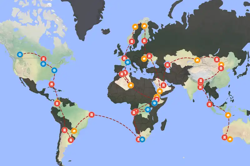
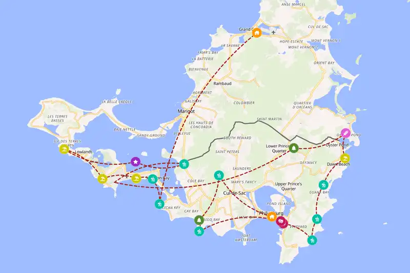
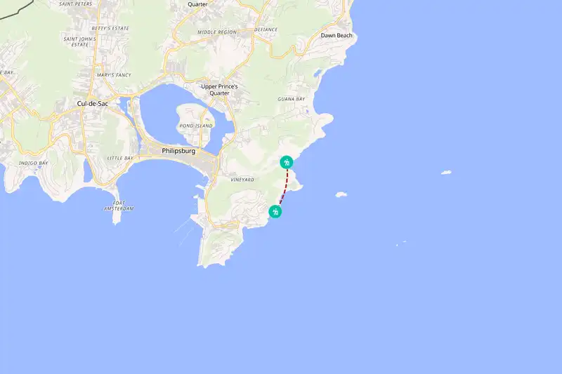
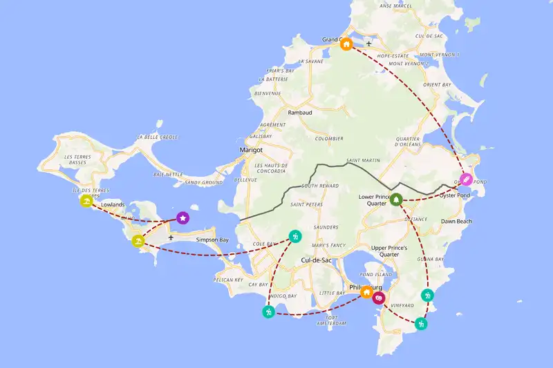
Example Sint Maarten itinerary planner route
Build your own Sint Maarten route
Example Sint Maarten itinerary planner route
Build your own Sint Maarten route
Example Sint Maarten itinerary planner route
Build your own Sint Maarten route

🇸🇽 Sint MaartenCreate Your Itinerary

1 How many days will you travel?
2 What are your interests?
3 Travel speed
⚙️ Advanced options

🙋 FAQQuick answers about the planner

Two days covers the main highlights, three gives you room for a few beaches and a slower pace, and five lets you add hikes and nature stops without rushing.
Yes, Sint Maarten shares its island with the French side, Saint-Martin, and sits close to Anguilla and Saint Barthélemy, which makes them natural Caribbean add-ons. Saba and Sint Eustatius are other nearby Dutch Caribbean islands, and all of these are short hops away.

Build a multi-country route
Yes. Stops are sequenced to minimize backtracking and grouped by how close they are to each other, and your chosen travel pace (fast, normal, or slow) adjusts how much ground each day covers.
Absolutely. Adjust your trip length, interests, starting point, or travel style and generate a new route in seconds.
Yes, generating and viewing your route is completely free. An offline-friendly PDF version is available as an optional purchase which gives more detailed information for each location on your route.

🗺️ RegionsPlanning a route across Sint Maarten's regions

Sint Maarten is small enough that most places sit within a short hop of each other, yet the spread still matters. Something like Maho Beach and Cupecoy Beach lie on one side of the island, while Sentry hill in St. Peters pulls you in another direction, so a careless plan can burn half a day going back and forth. The planner keeps nearby stops together and orders them so each day covers one stretch, which leaves you more time at each place and less time getting between them.

📈 StatisticsSint Maarten travel stats

Our set of curated travel destinations for Sint Maarten

Cities & Towns: 3      Villages: 1      Landmarks: 1      National Parks: 2      Hikes: 8      Beaches: 4      Attractions: 3     

Most popular interests

  • 🚶‍♀️ Hikes (100%)
  • 🌆 Cities & Towns (67%)
  • 🌽 Villages (67%)
  • ⭐️ Landmarks (67%)
  • 🏞️ National Parks (67%)

Most included destinations

⚙️ How it worksHow the Sint Maarten itinerary planner works

You pick a trip length, any mix of interests (cities & towns, villages, landmarks, national parks, hikes, beaches, attractions) and a style and pace, and the planner turns that into a day-by-day route. First, it groups nearby places together so you aren’t crossing the island twice in one afternoon. Then it picks a sensible direction through those groups, so each day flows into the next instead of zigzagging. Finally, it sets the time for each stop by its type and by how many other places sit close by. Say you choose Simpson Bay Lagoon: if several of your picks cluster around it, that area becomes a base where you spend more of your days, and the smaller spots nearby become easy outings from it. A lone stop with nothing around it gets a shorter visit. That’s why your route looks the way it does, and why a slower pace gives the busy clusters more room while a faster one trims each stop.