
×

American Samoa🇦🇸 | hikesFagasa PassPaved switchbacks, harbor overlook, fruit bats, Fagasa Bay | things to do and best time to go

Explore Pola Island TrailExplore Fagatele Bay National Marine Sanctuary

Backpacking in Fagasa Pass
👌 Worth visitinghike ranked #4
By Johan Kruseman 🇳🇱 | Updated October 15, 2026

The pass road is a free, paved climb you can start from the edge of Pago Pago Harbor, so you skip entry fees and guides entirely. Fagasa Pass sits on Tutuila, the main island of American Samoa, where the road crosses the ridge between Pago Pago and Fagasa village on the north coast. The good: sharp views down onto the harbor, rainforest close enough to touch, and a short, steep effort. The bad: it is hot and sticky by mid-morning, the traffic has no shoulder to speak of, and the aiga buses (colorful local buses) run on island time, so a bus-only plan can stall you. Start by 7 a.m., carry more water than seems sensible, and keep a flexible return plan with a taxi number saved. Dogs roam the villages, so stay calm and walk on. Near the top, the road drops toward Fagasa Bay in tight switchbacks.

Discover everything you want to know in the 📖 American Samoa Travel Guide.
Best time to go: May - September
Duration: 3 hours
Distance: 6 kilometers
Total ascent: 250 meters


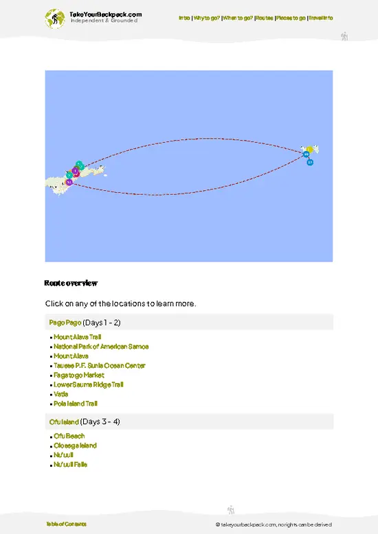
example page 0 from our offline Travel Guide for American Samoa
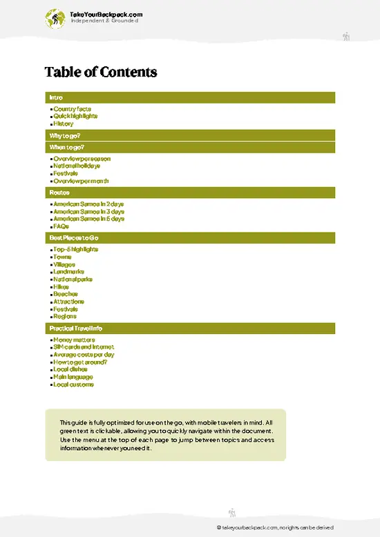
example page 1 from our offline Travel Guide for American Samoa
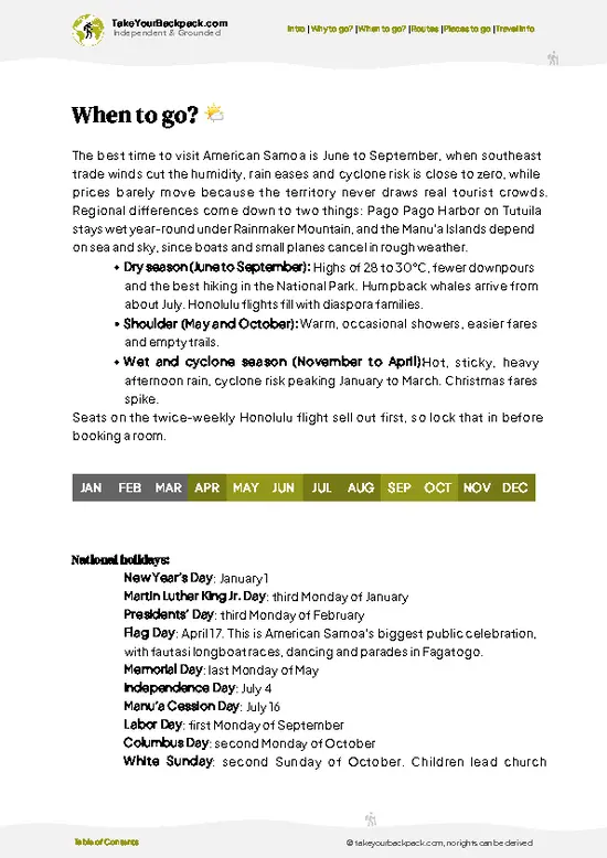
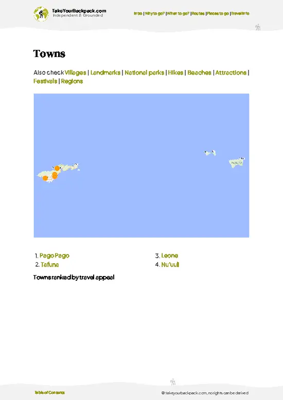
example page 2 from our offline Travel Guide for American Samoa
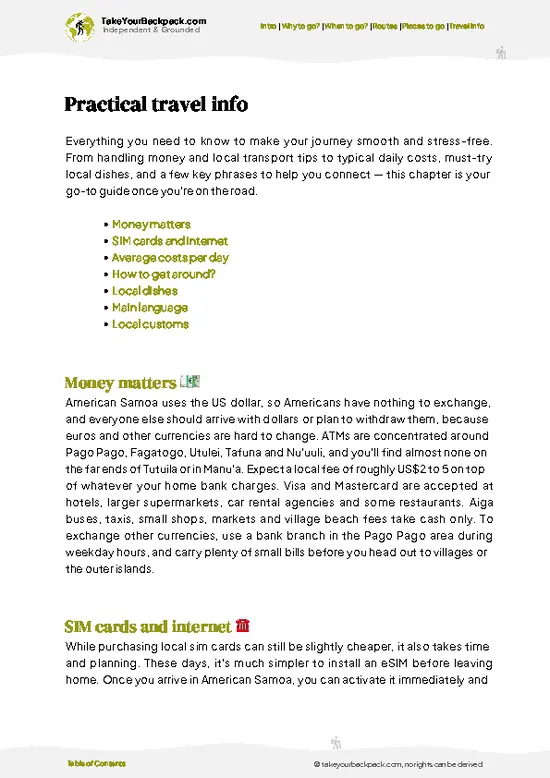
example page 3 from our offline Travel Guide for American Samoa
example page 4 from our offline Travel Guide for American Samoa
example page 5 from our offline Travel Guide for American Samoa
example page 6 from our offline Travel Guide for American Samoa
example page 7 from our offline Travel Guide for American Samoa
Loading the map 🌍
CLICK TO FILTER
towns
villages
landmarks
national parks
hikes
beaches
attractions
festivals
regions
SHOW COUNTRY’S BESTSHOW ALL

✨ Why go?
Ranked #4 hike in American Samoa
What makes it a must-see hike

Backpackers pick Fagasa Pass because it gives you a real ridge-line view of Pago Pago Harbor without a full day of planning. The climb is short and steep enough to feel like a workout, yet it begins in the harbor area, so you can fit it between a morning arrival and an afternoon at the market. Costs stay close to nothing, since there is no ticket booth and no required guide.

The second draw is the contrast. On one side you look down on the working harbor and the tuna cannery stacks; on the other you drop toward Fagasa village and the quiet north shore, where fales (open-sided Samoan houses) sit under breadfruit and coconut trees. That makes the pass a handy link when you string together Tutuila by bus and on foot. Because the road is open and flexible, you can turn around at the crest or … read more 👉
Backpackers pick Fagasa Pass because it gives you a real ridge-line view of Pago Pago Harbor without a full day of planning. The climb is short and steep enough to feel like a workout, yet it begins in the harbor area, so you can fit it between a morning arrival and an afternoon at the market. Costs stay close to nothing, since there is no ticket booth and no required guide.

The second draw is the contrast. On one side you look down on the working harbor and the tuna cannery stacks; on the other you drop toward Fagasa village and the quiet north shore, where fales (open-sided Samoan houses) sit under breadfruit and coconut trees. That makes the pass a handy link when you string together Tutuila by bus and on foot. Because the road is open and flexible, you can turn around at the crest or keep going down the far side, and you can pair it with trails into National Park of American Samoa terrain on the same island.

💡 HighlightsMust-see experiences and standout moments

  1. Pago Pago Harbor Overlook: The best-known view from the pass looks down the long, flooded volcanic crater that forms the harbor, with steep green walls on both sides. Morning light is clearest before clouds gather on the ridges.
  2. The Switchbacks Above Pago Pago: The road zigzags upward through dense forest, and each bend opens a slightly different angle on the water and the village rooftops below. They make the climb feel shorter than it is.
  3. Rainforest Canopy Along the Road: Breadfruit, banyan and tree ferns crowd the verge. Listen for birdsong and the rustle of fruit bats, which are most active around dusk, so late afternoon is the time to watch for them overhead.
  4. Fagasa Village: On the north side you reach a small, quiet community along the bay, with traditional fales and churches that anchor
… read more 👉
  1. Pago Pago Harbor Overlook: The best-known view from the pass looks down the long, flooded volcanic crater that forms the harbor, with steep green walls on both sides. Morning light is clearest before clouds gather on the ridges.
  2. The Switchbacks Above Pago Pago: The road zigzags upward through dense forest, and each bend opens a slightly different angle on the water and the village rooftops below. They make the climb feel shorter than it is.
  3. Rainforest Canopy Along the Road: Breadfruit, banyan and tree ferns crowd the verge. Listen for birdsong and the rustle of fruit bats, which are most active around dusk, so late afternoon is the time to watch for them overhead.
  4. Fagasa Village: On the north side you reach a small, quiet community along the bay, with traditional fales and churches that anchor the village on Sundays. Greet people with a friendly “talofa” and keep to the road, since land is family-owned.
  5. Fagasa Bay: The bay below the pass is a calm, deep-green pocket with rocky shoreline and a rural feel that contrasts with the harbor side. It makes a sensible turnaround point and a peaceful place to rest.
Do the harbor overlook first, early in the morning, because the haze and cloud build quickly and hide the best view by late morning.
Spotted a mistake or missing something? Contact us.

🌤️ When to go?Best time to hike the Fagasa Pass

  • Dry Season (May to October): Pick this window for the firmest footing on the Fagasa Pass road and trails above Pago Pago Harbor. Days run about 27 to 31°C (81 to 88°F), nights drop to 23 to 25°C (73 to 77°F), and showers are shorter. Daylight lasts roughly 11.5 to 12.5 hours, with sunset near 6:15 pm.
  • Wet Season (November to April): Heavy downpours turn clay sections slick, and the ridge often sits in cloud. Highs of 29 to 32°C (84 to 90°F) with high humidity make climbs sweaty. Cyclone risk peaks from January to March, so check forecasts before committing.
  • Crowds and Prices: Visitor numbers stay low all year, and there is no real peak pricing. Flights and rooms can tighten around the Flag Day festivities in April and the Christmas holidays when families travel home.
  • Time of Day: Start by 6:30
… read more 👉
  • Dry Season (May to October): Pick this window for the firmest footing on the Fagasa Pass road and trails above Pago Pago Harbor. Days run about 27 to 31°C (81 to 88°F), nights drop to 23 to 25°C (73 to 77°F), and showers are shorter. Daylight lasts roughly 11.5 to 12.5 hours, with sunset near 6:15 pm.
  • Wet Season (November to April): Heavy downpours turn clay sections slick, and the ridge often sits in cloud. Highs of 29 to 32°C (84 to 90°F) with high humidity make climbs sweaty. Cyclone risk peaks from January to March, so check forecasts before committing.
  • Crowds and Prices: Visitor numbers stay low all year, and there is no real peak pricing. Flights and rooms can tighten around the Flag Day festivities in April and the Christmas holidays when families travel home.
  • Time of Day: Start by 6:30 am, before heat and afternoon cloud build on the ridge.
Aim for an early start in June or July, when trade winds keep the ridge breezy and the air less sticky.


source: climatestotravel.comJANJanuary: fair for travelingFEBFebruary: fair for travelingMARMarch: fair for travelingAPRApril: fair for travelingMAYMay: excellent for travelingJUNJune: excellent for travelingJULJuly: excellent for travelingAUGAugust: excellent for travelingSEPSeptember: highly recommended for travelingOCTOctober: fair for travelingNOVNovember: fair for travelingDECDecember: fair for traveling
american-samoa-hike-fagasa-pass
© Google |

✈️ The backpacker research shortcutAmerican Samoa Travel Guide

An offline-friendly backpacking guide with optimized travel routes, ranked highlights, transport advice, and the best areas to stay.
example page 0 from our offline Travel Guide for American Samoa
example page 1 from our offline Travel Guide for American Samoa
example page 2 from our offline Travel Guide for American Samoa
example page 3 from our offline Travel Guide for American Samoa
example page 4 from our offline Travel Guide for American Samoa
example page 5 from our offline Travel Guide for American Samoa
example page 6 from our offline Travel Guide for American Samoa
example page 7 from our offline Travel Guide for American Samoa
The digital guide (141 pages) contains:
✅ 36 highlights, ranked by travel appeal
✅ Optimized 2, 3 & 5-day travel routes
✅ Cities, national parks, landmarks, beaches
✅ How to get around
✅ Offline-friendly for travel without Wi-Fi
👉 Click to see all 30+ guide features

📅 Plan smarter in minutes, not weeks
✅ Month by month travel advice
✅ Festivals & national holidays
✅ Budget expectations

🗺️ Go to the right places, skip the overrated ones
✅ Honest pros & cons of destinations
✅ Top hikes, parks & viewpoints
✅ Lesser-known places most travelers miss
✅ Clear “worth it vs skip it” guidance

🛏️ Travel smoothly without rookie mistakes
✅ Best areas to stay
✅ Transport systems explained simply
✅ Common scams & safety advice
✅ SIM cards, money & practical tips

🌍 Understand the country, not just visit it
✅ Culture & traditions
✅ 52 Essential phrases & customs
✅ Festivals worth planning around
✅ Traveler-friendly historical context
✅ Insights that make places more meaningful

📱 Built for real travel conditions
✅ Fully downloadable PDF
✅ Works completely offline
✅ Optimized for phone use
✅ Useful in remote areas & buses
✅ Everything in one place
Stop searching, start planning
Get instant access to your full guide. 30‑day money-back guarantee.
+ Add another guide for just

By proceeding you agree to our terms.
Sent to your inbox immediately after payment • 100% Secure Checkout
Best Backpacking Travel Advisor 2025 tourism awardBest Backpacking
Travel Advisor
2025
What others say about Take Your Backpack Guides:
⭐⭐⭐⭐⭐
Fantastic, amazing amount of information!
⭐⭐⭐⭐⭐
My goodness this is amazing, it's what I've been looking for hats off too you!
⭐⭐⭐⭐⭐
I think this is absolutely BRILLIANT
⭐⭐⭐⭐
Very complete and informative. It's still missing places, but I gotta to commend you
⭐⭐⭐⭐⭐
This is truly amazing, thank you, can't wait to explore it with my kids!
⭐⭐⭐⭐⭐
Awesome resource, thank you!
⭐⭐⭐⭐⭐
This is amazing! Can't wait to explore the ones I haven't seen
⭐⭐⭐⭐
I love this! Well done, great idea.
⭐⭐⭐⭐⭐
Thanks for taking the time to make this gem!
⭐⭐⭐⭐⭐
This might be the best website I've ever seen.
⭐⭐⭐⭐⭐
Congratulations, and thank you so much for your work; it's incredibly valuable.
⭐⭐⭐⭐
In all seriousness I think you did a great job pointing out the important spots
⭐⭐⭐⭐⭐
10/10 very good
⭐⭐⭐⭐⭐
As someone who's only just starting to visit regularly this is awesome, thank you.
⭐⭐⭐⭐
Thank you very much! I'm going to visit my dad, it's going to be very useful!
⭐⭐⭐⭐⭐
This is really cool! We'll be travelling for the first time and this definitely come in handy.
⭐⭐⭐⭐⭐
You are now our minister of culture, congratulations 👨‍💼
⭐⭐⭐⭐⭐
Just wanted to tell you that this is a pearl! Going to follow your recommendations.
⭐⭐⭐⭐⭐
This is so cool. I'll definitely be using the resource for my travels soon.
⭐⭐⭐⭐⭐
This is very impressive! Good work.
⭐⭐⭐⭐⭐
This is an amazing and informative site. Very well done!

🛏️ Where to stay?Best areas to stay in American Samoa

If you enjoy meeting fellow travelers, consider choosing hostels with high ratings for atmosphere. On the other hand, if you prefer having your own space, a hotel might be a better option.

🥾 Hike detailsHike details: route, duration, and difficulty of Fagasa Pass

Total Distance: Roughly 5 to 6 kilometers return if you walk up and back to the crest, longer if you descend to the bay.
Estimated Duration: About 2 to 3 hours return, with time for photos.
Difficulty: Moderate. The surface is paved, but the gradient is steep and the heat is heavy.
Starting Point: The road leaves from the Pago Pago harbor area on Tutuila.
  • Public Transport: Local aiga buses serve Pago Pago and the surrounding villages, though they run irregularly and rarely on Sundays, so confirm your return option or arrange a taxi.
Major Landmarks:
  • Harbor Overlook: A clear view across the water toward
… read more 👉
Total Distance: Roughly 5 to 6 kilometers return if you walk up and back to the crest, longer if you descend to the bay.
Estimated Duration: About 2 to 3 hours return, with time for photos.
Difficulty: Moderate. The surface is paved, but the gradient is steep and the heat is heavy.
Starting Point: The road leaves from the Pago Pago harbor area on Tutuila.
  • Public Transport: Local aiga buses serve Pago Pago and the surrounding villages, though they run irregularly and rarely on Sundays, so confirm your return option or arrange a taxi.
Major Landmarks:
  • Harbor Overlook: A clear view across the water toward the cannery and the ridgelines.
  • Crest of the Pass: The high point where the road changes direction toward the north coast.
  • Fagasa Bay: A sheltered inlet on the far side.
Terrain and Scenery: Steep, winding asphalt with little shoulder. Volcanic ridges rise on both sides, and views alternate between harbor and forest.
Vegetation: Tropical rainforest with breadfruit, coconut palms, ferns, vines and flowering hibiscus near the villages.
Wildlife: Fruit bats (flying foxes), tropical birds, geckos and village dogs. Stay alert for traffic and keep a respectful distance from dogs.
Practical Notes: Carry at least 2 liters of water, wear a hat, use sun protection and start early before heat and afternoon showers arrive.
⚠️ Hiking info can sometimes be outdated or inaccurate. Before you hit the trail, check the latest conditions with locals. If you do spot anything that's off, I'd love to hear from you, so I can update it for fellow travelers.

🛡️ SafetySafety Tips and Common Scams in Fagasa Pass

Fagasa Pass is a short, manageable route, and the main hazards are slick ground and heat. Rain makes clay and roots slippery, so wear shoes with real tread rather than sandals, and shorten your stride on descents. Humidity is high, so carry at least 2 liters of water and take shade breaks on the climb. Sun exposure is strong on open stretches, so bring a hat and reef-safe sunscreen. Cell coverage can drop in the folds of the ridge, so tell your host which way you are heading and when you expect to be back. Village land surrounds the area, so ask permission before leaving the road or path, and dress modestly when passing homes. Loose dogs are common in Samoan villages. Walk calmly, avoid eye contact, and pick up a stick only if one keeps following you. Skip the route during cyclone warnings … read more 👉
Fagasa Pass is a short, manageable route, and the main hazards are slick ground and heat. Rain makes clay and roots slippery, so wear shoes with real tread rather than sandals, and shorten your stride on descents. Humidity is high, so carry at least 2 liters of water and take shade breaks on the climb. Sun exposure is strong on open stretches, so bring a hat and reef-safe sunscreen. Cell coverage can drop in the folds of the ridge, so tell your host which way you are heading and when you expect to be back. Village land surrounds the area, so ask permission before leaving the road or path, and dress modestly when passing homes. Loose dogs are common in Samoan villages. Walk calmly, avoid eye contact, and pick up a stick only if one keeps following you. Skip the route during cyclone warnings or after days of heavy rain, when mud and fallen branches are likely.

FAQFrequently asked questions about Fagasa Pass

Plan on 1 to 3 hours for a walk over and around Fagasa Pass, depending on how far you push along the ridge and trails. The road crossing links Pago Pago Harbor on the south side with Fagasa village on the north coast. Most people spend a half morning including photo stops and the return.
Easy to moderate describes it, with short steep sections and slick clay after rain. Elevation gain is a few hundred meters, and humidity of 75 to 90 percent makes it feel harder than the distance suggests. Sturdy shoes and 2 liters of water are enough for most people with ordinary fitness.
No permit is needed for walking the public pass road, and no guide is required. Village land lies on either side, so ask a local resident for permission before heading onto side trails, and a small gift or token fee of roughly US$5 to 10 is sometimes appropriate. A local guide is optional and can be arranged through your accommodation in Pago Pago.
⚠️ Things can change over time, so always validate details locally before you go.

Other American Samoan hikes near Fagasa Pass

Explore more nearby:


💡 Not sure where to go next?
Create a personalized itinerary for American Samoa including Fagasa Pass and the places that fit your trip.

Generate my itinerary

👉 Discover all hikes

Or checkout all American Samoa has to offer (think cities, towns, villages, national parks, hikes, beaches, festivals)
Country photo of American Samoa

We 💚 feedbackWhat to keep in mind

Most travelers start at midday and then wilt on the steepest bends. Go at first light instead, bring more water than you think you need, and stop at every switchback for the view. Then you will still have energy to walk down toward Fagasa and enjoy the quiet side.

✍️ Help improve this page!
The information on this page is based on in-depth research, insights shared by experienced travelers, and feedback from the local travel community in American Samoa. While every effort is made to keep the information accurate and current, conditions can change — so if you spot anything incorrect or outdated, please get in touch.


🙋‍♂️ Give feedback

👋 Meet the founderWho’s Behind Take Your Backpack?

Johan, backpacker and founder of TakeYourBackpackHi, I’m Johan (Netherlands 🇳🇱), the creator of TakeYourBackpack. Over the past 3 decades, I’ve backpacked through 90+ countries across six continents, gaining extensive experience with independent travel, long-term trips, and overland routes.

This site is built on a combination of firsthand travel experience and carefully curated insights from other backpackers. Many guides are based on places I’ve personally visited, while others bring together tips, observations, and practical advice shared by trusted travelers I’ve met along the way.

The goal is to provide realistic, experience-driven guidance — not generic itineraries — so you can explore destinations with better context, clearer expectations, and more confidence.