×

Argentina🇦🇷 | hikesLos GigantesBoulder fields, wind-carved granite, summit panorama, Sierras Grandes ridges | things to do and best time to go

Explore Fitz Roy TrekExplore Laguna de los Tres

Backpacking in Los Gigantes
👌 Worth visitinghike ranked #11
By Johan Kruseman 🇳🇱 | Updated October 19, 2026

Forget the idea that Córdoba's sierras are just a warm-up act before Patagonia steals the show. Los Gigantes sits in the Sierras Grandes, in Córdoba province, and it hits harder than its reputation suggests. The classic circuit runs roughly 12 to 16 kilometers depending on your route choice, climbing granite slabs and wind-scoured boulder fields that look lunar in the right light. Buses from Córdoba city reach nearby Tanti, on the RP28 road toward the massif, but the trailhead itself often needs a taxi or arranged transfer, less convenient than day hikes near Bariloche. I remember cresting the last ridge, lungs burning, when the wind just stopped and the whole valley opened up in silence below me. That pause was worth every scraped knuckle getting there.

Discover everything you want to know in the 📖 Argentina Travel Guide.
Best time to go: September - May
Duration: 6 hours
Distance: 14 kilometers
Total ascent: 700 meters


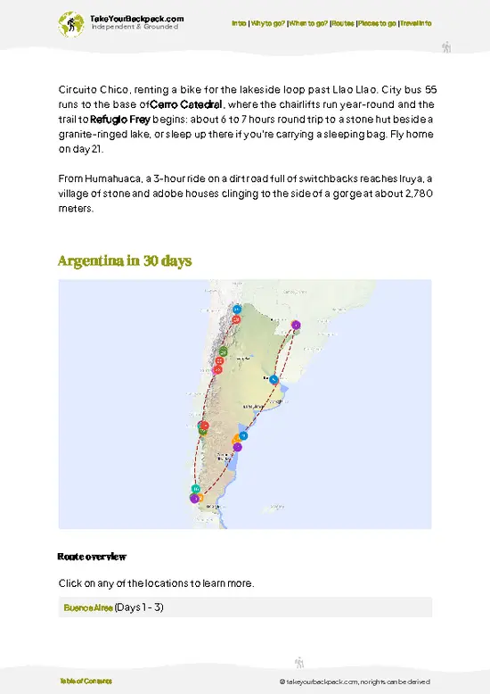
example page 0 from our offline Travel Guide for Argentina
example page 1 from our offline Travel Guide for Argentina
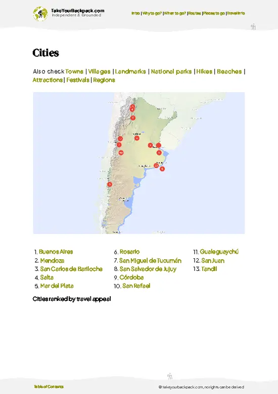
example page 2 from our offline Travel Guide for Argentina
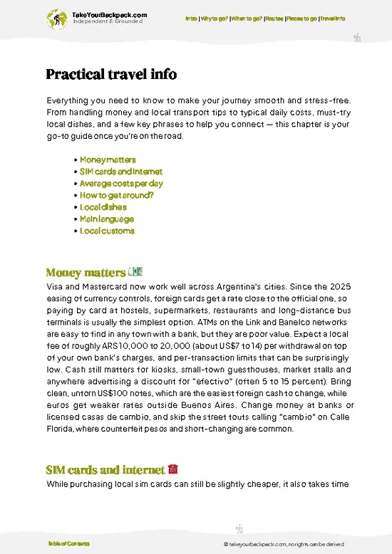
example page 3 from our offline Travel Guide for Argentina
example page 4 from our offline Travel Guide for Argentina
example page 5 from our offline Travel Guide for Argentina
example page 6 from our offline Travel Guide for Argentina
example page 7 from our offline Travel Guide for Argentina
Loading the map 🌍
CLICK TO FILTER
cities
towns
villages
landmarks
national parks
hikes
beaches
attractions
festivals
regions
SHOW COUNTRY’S BESTSHOW ALL

✨ Why go?
Ranked #11 hike in Argentina
What makes this hike worth hiking

Backpackers chase Los Gigantes because the scenery-to-effort ratio rewards you fast: within a couple hours you're standing on granite domes with panoramic views, no multi-day slog required. It's budget-friendly compared to Patagonian treks, with cheap hostel bases in Villa Carlos Paz or Tanti. Flexible distances mean you can turn a short loop into a full-day traverse depending on energy and weather. While public transport only gets you partway, shared remises are affordable and common. The hike also slots neatly into a broader Córdoba sierras route, pairing well with La Cumbrecita or Capilla del Monte, so travelers moving through central Argentina get a serious mountain fix without detouring far from the main backpacker trail.

💡 HighlightsEssential experiences to have while hiking the Los Gigantes

  1. Cerro Mogote Summit Views: The massif's high point, about 2,374 m, delivers a 360-degree sweep over the Sierras Grandes, with layered ridgelines fading into haze. This is my personal favorite moment on the whole route.
  2. Granite Boulder Fields: Massive wind-carved rock formations dominate the upper trail, some balanced in ways that look almost engineered. Great for scrambling breaks and photos.
  3. Condor Sightings: Andean condors regularly ride thermals above the ridges here, and spotting one gliding at eye level is a genuine thrill for anyone who's never seen a wild condor up close.
  4. La Pampilla Valley Floor: The approach through this open valley gives you a good warm-up stretch with grasses and scattered rock outcrops before the real climbing starts.
  5. High-Altitude Streams: Several clear streams cross
… read more 👉
  1. Cerro Mogote Summit Views: The massif's high point, about 2,374 m, delivers a 360-degree sweep over the Sierras Grandes, with layered ridgelines fading into haze. This is my personal favorite moment on the whole route.
  2. Granite Boulder Fields: Massive wind-carved rock formations dominate the upper trail, some balanced in ways that look almost engineered. Great for scrambling breaks and photos.
  3. Condor Sightings: Andean condors regularly ride thermals above the ridges here, and spotting one gliding at eye level is a genuine thrill for anyone who's never seen a wild condor up close.
  4. La Pampilla Valley Floor: The approach through this open valley gives you a good warm-up stretch with grasses and scattered rock outcrops before the real climbing starts.
  5. High-Altitude Streams: Several clear streams cross the trail in wetter months, offering a cold-water refill point and a place to cool your feet before the final ascent.
Spotted a mistake or missing something? Contact us.

Things to do near Los Gigantes

Ratings based on Tripadvisor reviews. When you book through this link, you support our work at no extra cost to you.

🌤️ When to go?Weather, crowds, and seasonal trade-offs

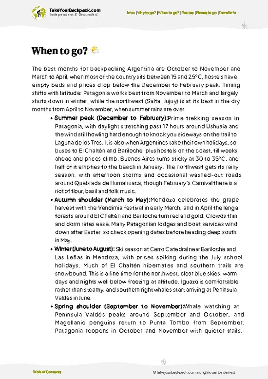
  • Autumn (March-May): Mild days around 15-20°C (59-68°F), clear skies, and thinner crowds make this the sweet spot for hiking.
  • Winter (June-August): Cold, sometimes near freezing at altitude (0-10°C / 32-50°F), with occasional snow on higher ridges; stunning clarity but pack layers.
  • Spring (September-November): Wildflowers appear, temperatures climb to 18-24°C (64-75°F), and winds pick up in the afternoons.
  • Summer (December-February): Hot at lower elevations, 25-32°C (77-90°F), with sudden storms; go early morning to avoid heat and lightning risk.
  • Crowds & Prices: January and Semana Santa see the most domestic tourists and higher accommodation rates in nearby towns.
I always aim for a weekday in April, when the late-afternoon light turns gold and you'll likely have entire granite slabs to yourself.

source: climatestotravel.comJANJanuary: good for travelingFEBFebruary: good for travelingMARMarch: highly recommended for travelingAPRApril: highly recommended for travelingMAYMay: highly recommended for travelingJUNJune: fair for travelingJULJuly: below average for travelingAUGAugust: fair for travelingSEPSeptember: excellent for travelingOCTOctober: excellent for travelingNOVNovember: excellent for travelingDECDecember: good for traveling
argentina-hike-los-gigantes
© Google | Giuliana Belli

✈️ The backpacker research shortcutArgentina Travel Guide

An offline-friendly backpacking guide with optimized travel routes, ranked highlights, transport advice, and the best areas to stay.
example page 0 from our offline Travel Guide for Argentina
example page 1 from our offline Travel Guide for Argentina
example page 2 from our offline Travel Guide for Argentina
example page 3 from our offline Travel Guide for Argentina
example page 4 from our offline Travel Guide for Argentina
example page 5 from our offline Travel Guide for Argentina
example page 6 from our offline Travel Guide for Argentina
example page 7 from our offline Travel Guide for Argentina
The digital guide (393 pages) contains:
✅ 131 highlights, ranked by travel appeal
✅ Optimized 14, 21 & 30-day travel routes
✅ Cities, national parks, landmarks, beaches
✅ How to get around
✅ Offline-friendly for travel without Wi-Fi
👉 Click to see all 30+ guide features

📅 Plan smarter in minutes, not weeks
✅ Month by month travel advice
✅ Festivals & national holidays
✅ Budget expectations

🗺️ Go to the right places, skip the overrated ones
✅ Honest pros & cons of destinations
✅ Top hikes, parks & viewpoints
✅ Lesser-known places most travelers miss
✅ Clear “worth it vs skip it” guidance

🛏️ Travel smoothly without rookie mistakes
✅ Best areas to stay
✅ Transport systems explained simply
✅ Common scams & safety advice
✅ SIM cards, money & practical tips

🌍 Understand the country, not just visit it
✅ Culture & traditions
✅ 52 Essential phrases & customs
✅ Festivals worth planning around
✅ Traveler-friendly historical context
✅ Insights that make places more meaningful

📱 Built for real travel conditions
✅ Fully downloadable PDF
✅ Works completely offline
✅ Optimized for phone use
✅ Useful in remote areas & buses
✅ Everything in one place
Stop searching, start planning
Get instant access to your full guide. 30‑day money-back guarantee.
+ Add another guide for just

By proceeding you agree to our terms.
Sent to your inbox immediately after payment • 100% Secure Checkout
Best Backpacking Travel Advisor 2025 tourism awardBest Backpacking
Travel Advisor
2025
What others say about Take Your Backpack Guides:
⭐⭐⭐⭐⭐
Fantastic, amazing amount of information!
⭐⭐⭐⭐⭐
My goodness this is amazing, it's what I've been looking for hats off too you!
⭐⭐⭐⭐⭐
I think this is absolutely BRILLIANT
⭐⭐⭐⭐
Very complete and informative. It's still missing places, but I gotta to commend you
⭐⭐⭐⭐⭐
This is truly amazing, thank you, can't wait to explore it with my kids!
⭐⭐⭐⭐⭐
Awesome resource, thank you!
⭐⭐⭐⭐⭐
This is amazing! Can't wait to explore the ones I haven't seen
⭐⭐⭐⭐
I love this! Well done, great idea.
⭐⭐⭐⭐⭐
Thanks for taking the time to make this gem!
⭐⭐⭐⭐⭐
This might be the best website I've ever seen.
⭐⭐⭐⭐⭐
Congratulations, and thank you so much for your work; it's incredibly valuable.
⭐⭐⭐⭐
In all seriousness I think you did a great job pointing out the important spots
⭐⭐⭐⭐⭐
10/10 very good
⭐⭐⭐⭐⭐
As someone who's only just starting to visit regularly this is awesome, thank you.
⭐⭐⭐⭐
Thank you very much! I'm going to visit my dad, it's going to be very useful!
⭐⭐⭐⭐⭐
This is really cool! We'll be travelling for the first time and this definitely come in handy.
⭐⭐⭐⭐⭐
You are now our minister of culture, congratulations 👨‍💼
⭐⭐⭐⭐⭐
Just wanted to tell you that this is a pearl! Going to follow your recommendations.
⭐⭐⭐⭐⭐
This is so cool. I'll definitely be using the resource for my travels soon.
⭐⭐⭐⭐⭐
This is very impressive! Good work.
⭐⭐⭐⭐⭐
This is an amazing and informative site. Very well done!

🛏️ Where to stay?How to pick the right area

If you enjoy meeting fellow travelers, consider choosing hostels with high ratings for atmosphere. On the other hand, if you prefer having your own space, a hotel might be a better option.

🥾 Hike detailsTrail overview: what to expect on the hike

Total Distance: Approximately 12-16 kilometers round trip, depending on chosen circuit.
Estimated Duration: 5 to 7 hours for a fit hiker moving at a steady pace.
Difficulty: Moderate to challenging, with steep granite sections and exposed ridgeline walking near the summit.
Starting Point: Trail access at the La Rotonda roadhead on RP28 beyond Tanti; reachable by remise or arranged transfer from Tanti or Villa Carlos Paz, as direct public buses don't reach the trailhead.
Major Landmarks:
  • Granite Domes: Smooth, rounded rock formations that define the upper trail.
  • Summit Ridge: The highest accessible point,
… read more 👉
Total Distance: Approximately 12-16 kilometers round trip, depending on chosen circuit.
Estimated Duration: 5 to 7 hours for a fit hiker moving at a steady pace.
Difficulty: Moderate to challenging, with steep granite sections and exposed ridgeline walking near the summit.
Starting Point: Trail access at the La Rotonda roadhead on RP28 beyond Tanti; reachable by remise or arranged transfer from Tanti or Villa Carlos Paz, as direct public buses don't reach the trailhead.
Major Landmarks:
  • Granite Domes: Smooth, rounded rock formations that define the upper trail.
  • Summit Ridge: The highest accessible point, offering wide valley views.
  • La Pampilla Valley: The grassy approach section before the climb steepens.
Terrain and Scenery: A mix of dirt paths, rocky scrambles, and open granite slabs, with minimal shade above the treeline.
Vegetation: Low sierra scrub, tussock grasses, and scattered native trees at lower elevations, thinning out near the rock fields.
Wildlife: Andean condors, foxes, and various raptors are commonly spotted, especially near thermals around the ridgelines.
⚠️ Hiking info can sometimes be outdated or inaccurate. Before you hit the trail, check the latest conditions with locals. If you do spot anything that's off, I'd love to hear from you, so I can update it for fellow travelers.

🛡️ SafetyTraveler Safety Guide

The trail is generally well-managed and straightforward for hikers with reasonable fitness, but weather shifts fast up here. Wind on the exposed granite sections can be strong enough to affect balance, so time your summit push for morning calm rather than afternoon gusts. Footing on wet granite gets slick, so good grip boots matter more than trekking poles. Condors and foxes are common but keep their distance naturally. First-timers often underestimate sun exposure above the treeline; bring more water and sunscreen than feels necessary. Cell signal disappears once you're deep into the sierras, so tell someone your planned return time.

FAQFrequently asked questions about Los Gigantes

A typical hike through Los Gigantes takes between 5 and 7 hours depending on the circuit chosen and your pace, covering roughly 12 to 16 kilometers round trip. Most hikers start early morning to finish before afternoon winds pick up on the exposed ridges.
It's rated moderate to challenging, mainly due to steep granite scrambles and exposed sections near the summit rather than distance alone. Hikers with average fitness and some scrambling experience handle it fine, but it's not a casual stroll.
No permit is required for the main circuit, and most independent hikers go without a guide though not all trails are signposted. That said, hiring a local guide from Tanti or Villa Carlos Paz is a smart option for first-timers unfamiliar with sudden weather changes in the sierras.
⚠️ Things can change over time, so always validate details locally before you go.

Other Argentine hikes near Los Gigantes

Explore more nearby:

  • Cerro Champaquí—Córdoba high point, grass-and-scrub ridges, 2,790 meters, condor thermals| 64 km away
  • Cerro Uritorco—Capilla del Monte, 1,979-meter summit, balanced granite, false summit| 71 km away
  • Aconcagua—Puente del Inca trailhead, mule-supported trek, Plaza de Mulas, 4,300 meters| 509 km away

💡 Not sure where to go next?
Create a personalized itinerary for Argentina including Los Gigantes and the places that fit your trip.

Generate my itinerary

👉 Discover all hikes

Or checkout all Argentina has to offer (think cities, towns, villages, national parks, hikes, beaches, festivals)
Country photo of Argentina

We 💚 feedbackSumming up the experience

Los Gigantes rewards you with granite views that rival bigger, pricier treks elsewhere in Argentina, without the crowds. The catch: getting to the trailhead without a car takes some patience and a remise fare. Worth it for the condors alone, but plan your logistics before you romanticize the hike.

✈️ When did I visit Argentina?
I have visited Argentina, together with Chile, in September 2012.

✍️ Help improve this page!
The information on this page is based on my own backpacking experience in Argentina, supplemented with up-to-date research and feedback from other travelers. Travel details can change, so if you notice anything outdated or incomplete, feel free to let me know.


🙋‍♂️ Give feedback

👋 Meet the founderWho’s Behind Take Your Backpack?

Johan, backpacker and founder of TakeYourBackpackHi, I’m Johan (Netherlands 🇳🇱), the creator of TakeYourBackpack. Over the past 3 decades, I’ve backpacked through 90+ countries across six continents, gaining extensive experience with independent travel, long-term trips, and overland routes.

This site is built on a combination of firsthand travel experience and carefully curated insights from other backpackers. Many guides are based on places I’ve personally visited, while others bring together tips, observations, and practical advice shared by trusted travelers I’ve met along the way.

The goal is to provide realistic, experience-driven guidance — not generic itineraries — so you can explore destinations with better context, clearer expectations, and more confidence.