×

Argentina🇦🇷 | national parksBosques Petrificados de Jaramillo National ParkFossil Araucaria trunks, steppe loop, Cerro Madre e Hija | things to do and best time to go

Explore Sierra de las Quijadas National ParkExplore Mburucuyá National Park

Backpacking in Bosques Petrificados de Jaramillo
👍 Recommendednational park ranked #16
By Johan Kruseman 🇳🇱 | Updated October 19, 2026

Do you drive the extra hours off Ruta 3 to reach this park, or skip it for the more famous stops on the way to El Chalten? That question matters because Jaramillo sits in a remote stretch of Santa Cruz province, far south in Patagonia, and getting there eats a full day either way. The park protects one of the world's densest fields of fossilized Araucaria trunks, some over 150 million years old, laid across a stark, windswept steppe. There's no camping inside, no cell signal, and only a short interpretive trail, so this is a half-day stop, not a backpacking base. Compared to Los Glaciares or Perito Moreno, it's quieter, cheaper, and stranger. I remember crouching by a fallen trunk, running my palm across cold silica rings that used to be bark, and feeling genuinely unsettled by how alive it still looked.

Discover everything you want to know in the 📖 Argentina Travel Guide.


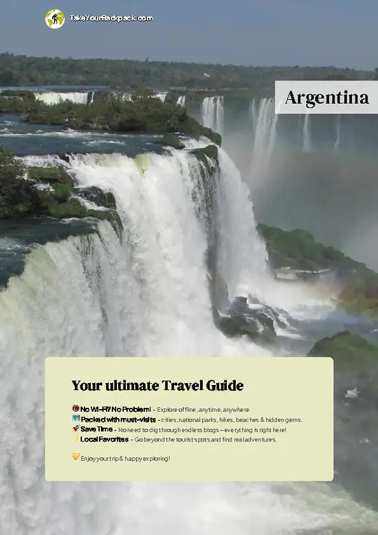
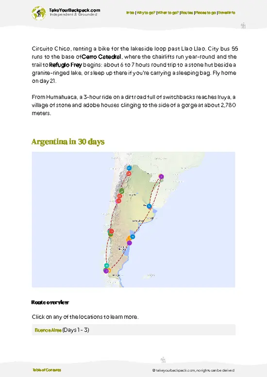
example page 0 from our offline Travel Guide for Argentina
example page 1 from our offline Travel Guide for Argentina
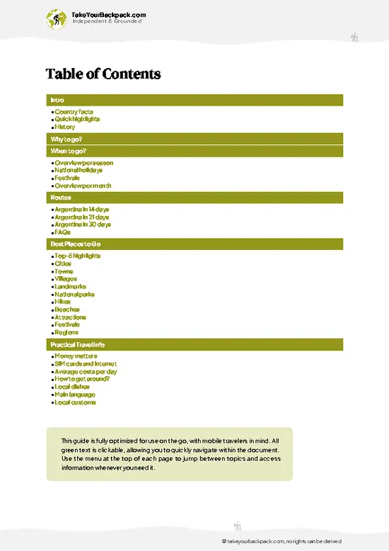
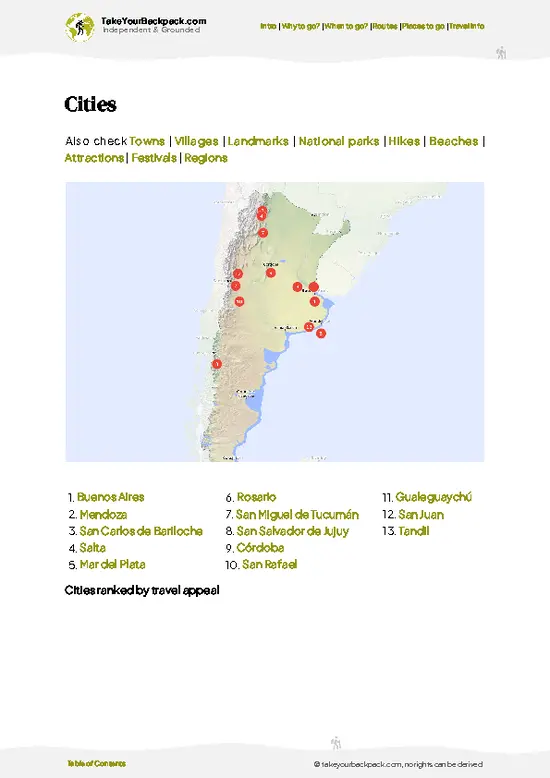
example page 2 from our offline Travel Guide for Argentina
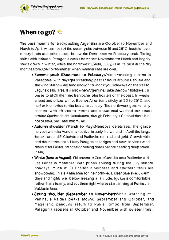
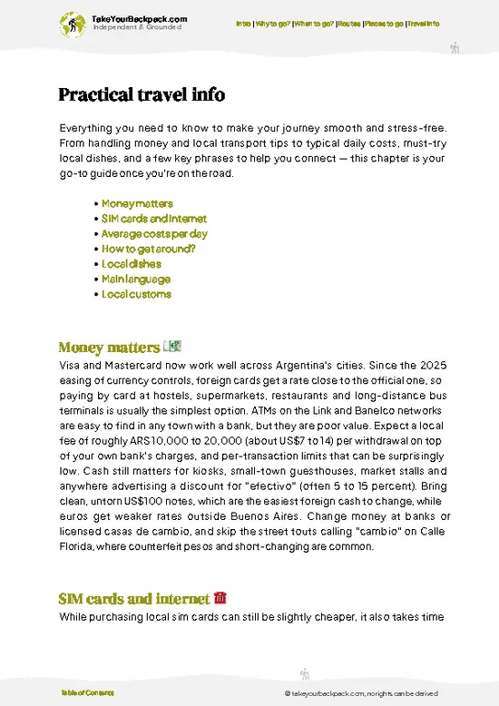
example page 3 from our offline Travel Guide for Argentina
example page 4 from our offline Travel Guide for Argentina
example page 5 from our offline Travel Guide for Argentina
example page 6 from our offline Travel Guide for Argentina
example page 7 from our offline Travel Guide for Argentina
Loading the map 🌍
CLICK TO FILTER
cities
towns
villages
landmarks
national parks
hikes
beaches
attractions
festivals
regions
SHOW COUNTRY’S BESTSHOW ALL

✨ Why go?
Ranked #16 national park in Argentina
What makes this national park worth exploring

Backpackers come here for the sheer oddity of it: a landscape where ancient forest lies scattered in stone across open desert. It rewards independent exploration because the single interpretive trail is short, flat, and easy to walk without a guide. There's no infrastructure to rely on, so it suits travelers comfortable with self-guided logistics, renting a car or hitching from Caleta Olivia or Jaramillo village. Nearby budget lodging is sparse but functional, keeping costs low. It's not a multi-day trekking destination, so don't expect trail variety, but as a strange, quiet detour it delivers something you won't find in Argentina's bigger parks.

💡 HighlightsWhat this place is best known for

  1. The Petrified Trunks Field: The core attraction, dozens of fossilized Araucaria trunks up to 35 meters long, 3 meters across and 150 million years old, scattered across the steppe in remarkable detail, bark texture included.
  2. Interpretive Trail Loop: A short, flat, roughly 1 kilometer path guiding visitors past the most significant fossil clusters with signage explaining the geological history.
  3. Cerro Madre e Hija: A distinctive twin-peaked hill visible from the trail, used as a natural landmark and photo point across the barren landscape.
  4. Fossilized Bark Detail: Close-up sections where silica replaced organic material so precisely you can see growth rings and bark patterns, this is my personal favorite moment in the park.
  5. Steppe Wildlife Sightings: Guanacos and occasionally choique (Darwin's rhea)
… read more 👉
  1. The Petrified Trunks Field: The core attraction, dozens of fossilized Araucaria trunks up to 35 meters long, 3 meters across and 150 million years old, scattered across the steppe in remarkable detail, bark texture included.
  2. Interpretive Trail Loop: A short, flat, roughly 1 kilometer path guiding visitors past the most significant fossil clusters with signage explaining the geological history.
  3. Cerro Madre e Hija: A distinctive twin-peaked hill visible from the trail, used as a natural landmark and photo point across the barren landscape.
  4. Fossilized Bark Detail: Close-up sections where silica replaced organic material so precisely you can see growth rings and bark patterns, this is my personal favorite moment in the park.
  5. Steppe Wildlife Sightings: Guanacos and occasionally choique (Darwin's rhea) cross the open ground near the visitor area, adapted to the harsh, dry conditions.
  6. Visitor Center Exhibits: Small but informative displays explaining how a subtropical forest ended up buried and fossilized in what is now arid Patagonian steppe.
  7. Panoramic Steppe Views: The flat, wide horizon itself, empty and quiet, gives a strong sense of scale and isolation that's rare even by Patagonian standards.
Spotted a mistake or missing something? Contact us.

🌤️ When to go?When to go for the best experience

  • Summer (December to February): Warmest months, daytime highs around 20 to 25C (68 to 77F), with strong Patagonian wind. Long daylight, up to 16 hours, makes for relaxed visits.
  • Winter (June to August): Cold and often closed or inaccessible due to snow and ice on access roads; temperatures can drop below freezing, around -5 to 5C (23 to 41F).
  • Shoulder seasons (March to May, September to November): Fewer visitors, milder wind, temperatures 10 to 18C (50 to 64F), good compromise for comfort and quiet.
  • Crowds and pricing: Always light, since visitation is low year-round; no major seasonal fee changes.
Go in the morning before the wind picks up, it makes photographing the fossilized logs far easier.

source: climatestotravel.comJANJanuary: highly recommended for travelingFEBFebruary: highly recommended for travelingMARMarch: excellent for travelingAPRApril: excellent for travelingMAYMay: highly recommended for travelingJUNJune: good for travelingJULJuly: good for travelingAUGAugust: good for travelingSEPSeptember: highly recommended for travelingOCTOctober: excellent for travelingNOVNovember: excellent for travelingDECDecember: highly recommended for traveling
when-to-go

✈️ The backpacker research shortcutArgentina Travel Guide

An offline-friendly backpacking guide with optimized travel routes, ranked highlights, transport advice, and the best areas to stay.
example page 0 from our offline Travel Guide for Argentina
example page 1 from our offline Travel Guide for Argentina
example page 2 from our offline Travel Guide for Argentina
example page 3 from our offline Travel Guide for Argentina
example page 4 from our offline Travel Guide for Argentina
example page 5 from our offline Travel Guide for Argentina
example page 6 from our offline Travel Guide for Argentina
example page 7 from our offline Travel Guide for Argentina
The digital guide (393 pages) contains:
✅ 131 highlights, ranked by travel appeal
✅ Optimized 14, 21 & 30-day travel routes
✅ Cities, national parks, landmarks, beaches
✅ How to get around
✅ Offline-friendly for travel without Wi-Fi
👉 Click to see all 30+ guide features

📅 Plan smarter in minutes, not weeks
✅ Month by month travel advice
✅ Festivals & national holidays
✅ Budget expectations

🗺️ Go to the right places, skip the overrated ones
✅ Honest pros & cons of destinations
✅ Top hikes, parks & viewpoints
✅ Lesser-known places most travelers miss
✅ Clear “worth it vs skip it” guidance

🛏️ Travel smoothly without rookie mistakes
✅ Best areas to stay
✅ Transport systems explained simply
✅ Common scams & safety advice
✅ SIM cards, money & practical tips

🌍 Understand the country, not just visit it
✅ Culture & traditions
✅ 52 Essential phrases & customs
✅ Festivals worth planning around
✅ Traveler-friendly historical context
✅ Insights that make places more meaningful

📱 Built for real travel conditions
✅ Fully downloadable PDF
✅ Works completely offline
✅ Optimized for phone use
✅ Useful in remote areas & buses
✅ Everything in one place
Stop searching, start planning
Get instant access to your full guide. 30‑day money-back guarantee.
+ Add another guide for just

By proceeding you agree to our terms.
Sent to your inbox immediately after payment • 100% Secure Checkout
Best Backpacking Travel Advisor 2025 tourism awardBest Backpacking
Travel Advisor
2025
What others say about Take Your Backpack Guides:
⭐⭐⭐⭐⭐
Fantastic, amazing amount of information!
⭐⭐⭐⭐⭐
My goodness this is amazing, it's what I've been looking for hats off too you!
⭐⭐⭐⭐⭐
I think this is absolutely BRILLIANT
⭐⭐⭐⭐
Very complete and informative. It's still missing places, but I gotta to commend you
⭐⭐⭐⭐⭐
This is truly amazing, thank you, can't wait to explore it with my kids!
⭐⭐⭐⭐⭐
Awesome resource, thank you!
⭐⭐⭐⭐⭐
This is amazing! Can't wait to explore the ones I haven't seen
⭐⭐⭐⭐
I love this! Well done, great idea.
⭐⭐⭐⭐⭐
Thanks for taking the time to make this gem!
⭐⭐⭐⭐⭐
This might be the best website I've ever seen.
⭐⭐⭐⭐⭐
Congratulations, and thank you so much for your work; it's incredibly valuable.
⭐⭐⭐⭐
In all seriousness I think you did a great job pointing out the important spots
⭐⭐⭐⭐⭐
10/10 very good
⭐⭐⭐⭐⭐
As someone who's only just starting to visit regularly this is awesome, thank you.
⭐⭐⭐⭐
Thank you very much! I'm going to visit my dad, it's going to be very useful!
⭐⭐⭐⭐⭐
This is really cool! We'll be travelling for the first time and this definitely come in handy.
⭐⭐⭐⭐⭐
You are now our minister of culture, congratulations 👨‍💼
⭐⭐⭐⭐⭐
Just wanted to tell you that this is a pearl! Going to follow your recommendations.
⭐⭐⭐⭐⭐
This is so cool. I'll definitely be using the resource for my travels soon.
⭐⭐⭐⭐⭐
This is very impressive! Good work.
⭐⭐⭐⭐⭐
This is an amazing and informative site. Very well done!

🛏️ Where to stay?Where staying makes the most sense

There's no lodging or camping inside the park itself, so backpackers base themselves in nearby towns. Caleta Olivia, 150 to 200 km away by road, has budget hostels, guesthouses, and basic hotels, plus supermarkets for stocking up. Jaramillo village itself is tiny, with minimal services, mostly used as a fuel or transit stop rather than a place to sleep. Some travelers combine the park with a longer Ruta 3 road trip, staying in Caleta Olivia or Comodoro Rivadavia (further north) and driving in for a half-day visit. If you're relying on buses along Ruta 3, plan for a taxi or arranged transfer from … read more 👉
There's no lodging or camping inside the park itself, so backpackers base themselves in nearby towns. Caleta Olivia, 150 to 200 km away by road, has budget hostels, guesthouses, and basic hotels, plus supermarkets for stocking up. Jaramillo village itself is tiny, with minimal services, mostly used as a fuel or transit stop rather than a place to sleep. Some travelers combine the park with a longer Ruta 3 road trip, staying in Caleta Olivia or Comodoro Rivadavia (further north) and driving in for a half-day visit. If you're relying on buses along Ruta 3, plan for a taxi or arranged transfer from the nearest town, since there's no scheduled service directly to the park entrance.

👛 Costs (as of 19 October 2026)Money, prices, and spending tips

Visiting Jaramillo is inexpensive compared to Argentina's major Patagonian parks, mainly because it's a short visit rather than a multi-day trek, though reaching it requires private transport which adds to overall cost.
CategoryBudget RangeLocal Reality
Entrance feeUSD 5 to 10Paid in cash at the visitor center, no online booking available
Accommodation (nearby town)USD 15 to 40 per nightBasic hostels and guesthouses in Caleta Olivia
Local transportUSD 30 to 60 round tripCar rental or private transfer needed, no public bus to the park
Food and suppliesUSD 10 to 20 per daySupermarkets in Caleta Olivia, nothing available inside the park


source: argentina.gob.ar
⚠️ Prices can change and everyone travels differently, so take this as a rough guide. Hope it helps you plan your adventure!

🥾 TrailsPlan your hike in Bosques Petrificados de Jaramillo: routes, terrain, and sights

There is no multi-day hiking here. The park offers a single short interpretive trail, well-marked and flat, built for close viewing of the fossilized trunks rather than backcountry trekking. Terrain is dry steppe: hard-packed gravel, sparse low shrubs, and constant wind. Wildlife sightings are limited mostly to guanacos and occasional rheas at a distance. Difficulty is minimal, suitable for any fitness level, though wind exposure can make the walk feel more strenuous than the distance suggests.
  • Length: approximately 1 kilometer round trip
  • Duration: 45 minutes to 1 hour
  • Difficulty: Easy
  • Key features:
… read more 👉
There is no multi-day hiking here. The park offers a single short interpretive trail, well-marked and flat, built for close viewing of the fossilized trunks rather than backcountry trekking. Terrain is dry steppe: hard-packed gravel, sparse low shrubs, and constant wind. Wildlife sightings are limited mostly to guanacos and occasional rheas at a distance. Difficulty is minimal, suitable for any fitness level, though wind exposure can make the walk feel more strenuous than the distance suggests.
  • Length: approximately 1 kilometer round trip
  • Duration: 45 minutes to 1 hour
  • Difficulty: Easy
  • Key features: fossilized Araucaria trunks, interpretive signage, open steppe views
  • Terrain: flat, gravel and dirt path, exposed to wind
Public transport doesn't reach the park directly; you need a private vehicle or arranged transport from Caleta Olivia (150 to 200 km depending on the route) or Jaramillo (about 135 km), with the last stretch on gravel Ruta Provincial 49. Crowds are minimal year-round, sometimes you'll have the trail entirely to yourself. There is a small entrance fee, payable at the visitor center, and rangers are present during opening hours to answer questions.
⚠️ Hiking info can sometimes be outdated or inaccurate. Before you hit the trail, check the latest conditions with locals. If you do spot anything that's off, I'd love to hear from you, so I can update it for fellow travelers.

🛡️ SafetyScams, Hazards, and Annoyances

This park is low-risk and easy to manage. The main factor is wind, which can be strong and cold even in summer, so layered clothing matters more than technical gear. The trail is flat and well-marked, so navigation isn't an issue. Wildlife encounters are limited to guanacos and rheas, both harmless if left alone. The biggest practical gap for first-timers is underestimating remoteness: bring water, fuel up beforehand, and don't count on cell signal or nearby help.

FAQCommon questions from travelers

Half a day is enough for Jaramillo itself, since the interpretive trail takes under an hour to walk, but factor in a full day overall once you include driving from Caleta Olivia or along Ruta 3.
A car is effectively necessary, since there's no public bus service to the park entrance; travelers without a vehicle typically arrange a private transfer or join a tour from Caleta Olivia, 150 to 200 km away by road.
Yes, there's a small entrance fee payable in cash at the visitor center, generally in the range of USD 5 to 10, and no advance permit or online booking is required.
⚠️ Things can change over time, so always validate details locally before you go.

Other Argentine national parks near Bosques Petrificados de Jaramillo

Explore more nearby:


💡 Not sure where to go next?
Create a personalized itinerary for Argentina including Bosques Petrificados de Jaramillo and the places that fit your trip.

Generate my itinerary

👉 Discover all national parks

Or checkout all Argentina has to offer (think cities, towns, villages, national parks, hikes, beaches, festivals)
Country photo of Argentina

We 💚 feedbackSumming up the experience

Worth it for that strange, quiet moment among 150-million-year-old stone trunks, something genuinely unlike anywhere else in Patagonia. The drawback: it demands real effort to reach for a visit that only lasts an hour or two. Plan it as a detour, not a destination.

✈️ When did I visit Argentina?
I have visited Argentina, together with Chile, in September 2012.

✍️ Help improve this page!
The information on this page is based on my own backpacking experience in Argentina, supplemented with up-to-date research and feedback from other travelers. Travel details can change, so if you notice anything outdated or incomplete, feel free to let me know.


🙋‍♂️ Give feedback

👋 Meet the founderWho’s Behind Take Your Backpack?

Johan, backpacker and founder of TakeYourBackpackHi, I’m Johan (Netherlands 🇳🇱), the creator of TakeYourBackpack. Over the past 3 decades, I’ve backpacked through 90+ countries across six continents, gaining extensive experience with independent travel, long-term trips, and overland routes.

This site is built on a combination of firsthand travel experience and carefully curated insights from other backpackers. Many guides are based on places I’ve personally visited, while others bring together tips, observations, and practical advice shared by trusted travelers I’ve met along the way.

The goal is to provide realistic, experience-driven guidance — not generic itineraries — so you can explore destinations with better context, clearer expectations, and more confidence.