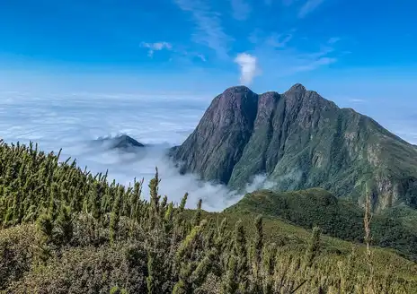
- Summit sunrise and sea of clouds — Hike up before dawn and you can watch the sun burn through a thick inversion that leaves the valleys blanketed in a rolling ”sea of clouds.” It’s a dramatic, almost cinematic moment: cold wind, granite under your boots, then a sudden wash of pink. (My personal favorite — worth the early alarm.)
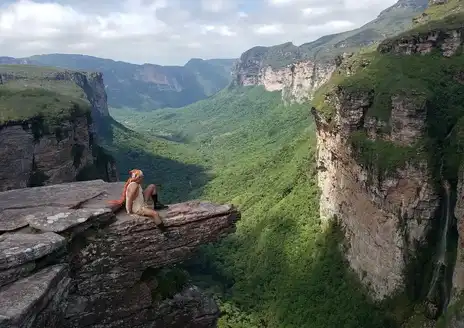
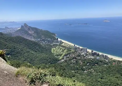
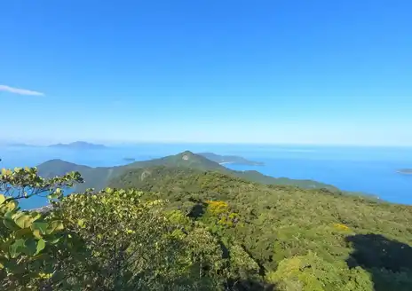
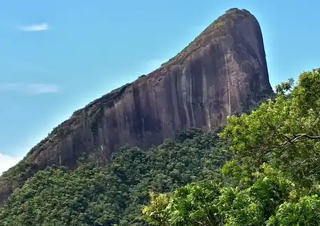
- 360° panoramic summit views — Pico da Bandeira is one of Brazil’s highest accessible peaks, so the summit gives an unusually wide vantage: layered ridges, farmland, patches of Atlantic Forest and, on very clear days, the distant blue hint of the coast. That kind of sweeping openness is rare on most shorter trails.
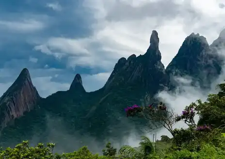
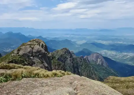
- High-altitude campos rupestres and odd flora — Above the tree line you walk through rocky, windswept highland grasslands with tough shrubs, bromeliads
- Summit sunrise and sea of clouds — Hike up before dawn and you can watch the sun burn through a thick inversion that leaves the valleys blanketed in a rolling ”sea of clouds.” It’s a dramatic, almost cinematic moment: cold wind, granite under your boots, then a sudden wash of pink. (My personal favorite — worth the early alarm.)
- 360° panoramic summit views — Pico da Bandeira is one of Brazil’s highest accessible peaks, so the summit gives an unusually wide vantage: layered ridges, farmland, patches of Atlantic Forest and, on very clear days, the distant blue hint of the coast. That kind of sweeping openness is rare on most shorter trails.
- High-altitude campos rupestres and odd flora — Above the tree line you walk through rocky, windswept highland grasslands with tough shrubs, bromeliads and small orchids adapted to cold and sun. The landscape looks and feels different from the rainforest below — it’s like a mini alpine world in the middle of Brazil.
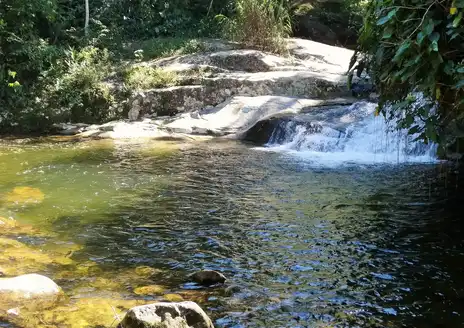
- Atlantic Forest lower slopes, birds and waterfalls — The descent moves into dense, humid forest alive with bird song, hummingbirds and the occasional monkey, plus clear mountain streams and small cascades. That contrast — lush jungle one minute, barren summit the next — is one of the hike’s best surprises.
- Night sky and summit camping vibe — With very little light pollution, the stars explode over the summit; staying overnight (there are simple shelters and campsites nearby) turns the mountain into a quiet, communal place where people swap stories under the Milky Way. Not many day hikes give you a real high-altitude campfire feel like this.
Spotted a mistake or missing something? Contact us.

 Best Backpacking
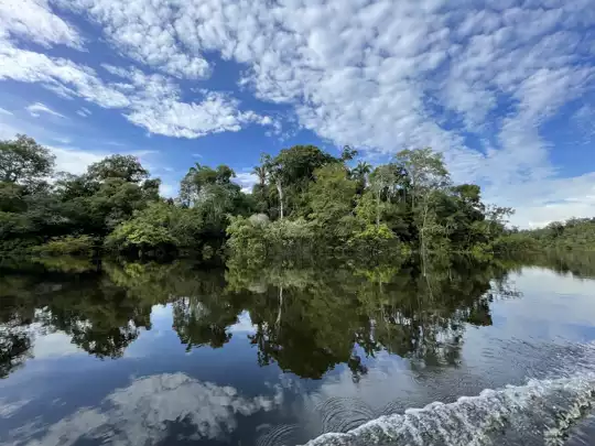

.jpg) Hi, I’m Johan (Netherlands 🇳🇱), the creator of TakeYourBackpack. Over the past decade, I’ve backpacked through 80+ countries across six continents, gaining extensive experience with independent travel, long-term trips, and overland routes.
Hi, I’m Johan (Netherlands 🇳🇱), the creator of TakeYourBackpack. Over the past decade, I’ve backpacked through 80+ countries across six continents, gaining extensive experience with independent travel, long-term trips, and overland routes.