×

Dominica🇩🇲 | hikesWaitukubuli National Trail14 segments, island-length route, Kalinago territory, parrot forest | things to do and best time to go

Explore Middleham FallsExplore Cabrits National Park

Backpacking in Waitukubuli National Trail
🏆 Top pickhike ranked #1
By Johan Kruseman 🇳🇱 | Updated October 22, 2026

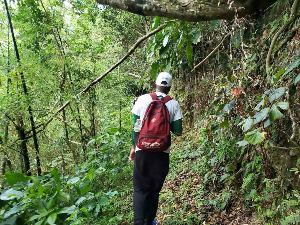
The Waitukubuli National Trail is a 14-segment route running the full length of Dominica, and few people hike it end to end in one push; most pick segments. It runs from Scotts Head in the south to Cabrits National Park in the north, about 185 kilometers (115 miles) in all. Expect wet clay underfoot, the green hiss of rain on tree ferns, the sulfur tang near Valley of Desolation, and the cool hush of rainforest where parrots call overhead. Climbs are steep and root-tangled, rivers need wading after rain, and markings occasionally fade. Villages along the way make it easy to reach many trailheads by minibus from Roseau, though some start points need a taxi. Rewards include volcanic peaks, waterfalls, Kalinago territory and coastal views. Hikers who like muddy, rugged days and local guides will love it. Anyone wanting groomed paths, fixed schedules or dry feet will struggle.

Discover everything you want to know in the 📖 Dominica Travel Guide.
Best time to go: December - May
Duration: 14 days
Distance: 185 kilometers
Total ascent: 6000 meters


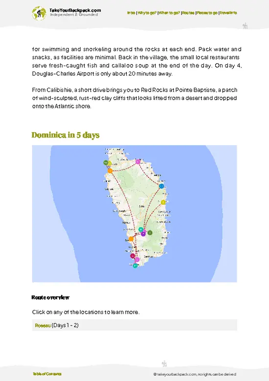
example page 0 from our offline Travel Guide for Dominica
example page 1 from our offline Travel Guide for Dominica
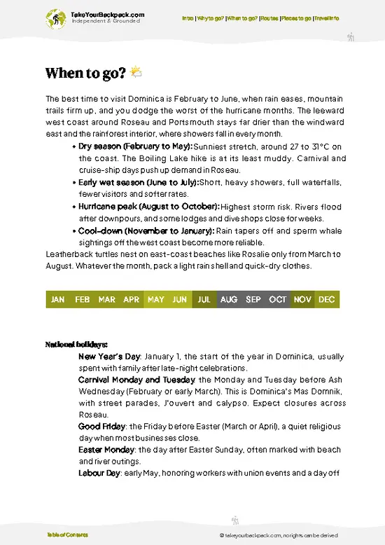
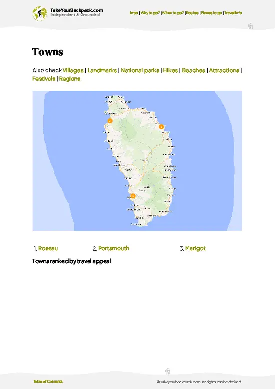
example page 2 from our offline Travel Guide for Dominica
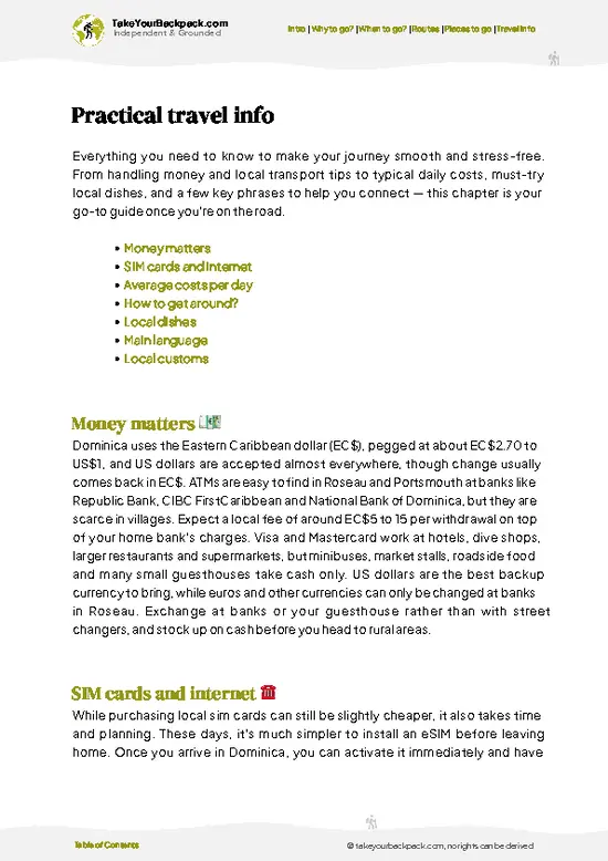
example page 3 from our offline Travel Guide for Dominica
example page 4 from our offline Travel Guide for Dominica
example page 5 from our offline Travel Guide for Dominica
example page 6 from our offline Travel Guide for Dominica
example page 7 from our offline Travel Guide for Dominica
Loading the map 🌍
CLICK TO FILTER
towns
villages
landmarks
national parks
hikes
beaches
attractions
festivals
regions
SHOW COUNTRY’S BESTSHOW ALL

✨ Why go?
Ranked #1 hike in Dominica
Reasons people choose to hike the here

The Waitukubuli National Trail gives you an entire island in one line, and that is the main pull. In a single week you can go from the sulfur vents and boiling lake country of the south to the Kalinago Territory on the east coast and finish among the cannon and forest of Cabrits National Park. Few places let you cross so many ecosystems on foot without a plane or long bus ride between them.
The second reason is flexibility. The route is split into 14 segments, so you can walk one afternoon section, string together four days, or work through the lot over two weeks. Villages sit near most trailheads, which means you can sleep in guesthouses and home stays rather than carrying a tent, keeping packs light and spending going directly to local families. Guides from nearby communities know which river … read more 👉
The Waitukubuli National Trail gives you an entire island in one line, and that is the main pull. In a single week you can go from the sulfur vents and boiling lake country of the south to the Kalinago Territory on the east coast and finish among the cannon and forest of Cabrits National Park. Few places let you cross so many ecosystems on foot without a plane or long bus ride between them.
The second reason is flexibility. The route is split into 14 segments, so you can walk one afternoon section, string together four days, or work through the lot over two weeks. Villages sit near most trailheads, which means you can sleep in guesthouses and home stays rather than carrying a tent, keeping packs light and spending going directly to local families. Guides from nearby communities know which river crossings are safe and which ridges clear by midday, and hiring one is a sensible way to handle the trail’s patchy markings.

💡 HighlightsEssential experiences to have while hiking the Waitukubuli National Trail

  1. Scotts Head to Soufriere (Segment 1): The southern start is a short, easy coastal walk with views over the meeting of the Caribbean Sea and the Atlantic, and a snorkeling cove at Champagne-side waters nearby. A gentle way to warm up.
  2. Segment through the Morne Trois Pitons area: The trail enters the rainforest of the Morne Trois Pitons World Heritage zone, with moss-draped trunks, tree ferns and a steady dripping canopy. Mud is part of the experience.
  3. Kalinago Territory: The trail passes through the eastern territory where the Kalinago people live. Craft stalls, cassava bread and the sound of waves on the rough Atlantic coast give the day a cultural texture.
  4. Syndicate forest: The northern segments near Syndicate pass through high, cool forest where you may hear the Imperial parrot, known locally
… read more 👉
  1. Scotts Head to Soufriere (Segment 1): The southern start is a short, easy coastal walk with views over the meeting of the Caribbean Sea and the Atlantic, and a snorkeling cove at Champagne-side waters nearby. A gentle way to warm up.
  2. Segment through the Morne Trois Pitons area: The trail enters the rainforest of the Morne Trois Pitons World Heritage zone, with moss-draped trunks, tree ferns and a steady dripping canopy. Mud is part of the experience.
  3. Kalinago Territory: The trail passes through the eastern territory where the Kalinago people live. Craft stalls, cassava bread and the sound of waves on the rough Atlantic coast give the day a cultural texture.
  4. Syndicate forest: The northern segments near Syndicate pass through high, cool forest where you may hear the Imperial parrot, known locally as sisserou, and the Red-necked parrot, known as jaco.
  5. Cabrits National Park: The northern finish combines forest trails with the stone ruins of Fort Shirley, plus views over Portsmouth bay. Reaching it feels like a proper finish line.
For a first visit, Scotts Head to Soufriere gives the best balance of views and manageable effort on the Waitukubuli National Trail.
Spotted a mistake or missing something? Contact us.

Things to do near Waitukubuli National Trail

Ratings based on Tripadvisor reviews. When you book through this link, you support our work at no extra cost to you.

🌤️ When to go?When to go for the best experience

  • Dry Season (February to May): This is the most reliable window for the full 14 segments, with daytime highs of 28 to 31°C (82 to 88°F) and the lowest chance of mud on the Segment 10 to 12 ridges. Rain still falls most afternoons in the interior, only shorter and lighter.
  • Wet Season (June to November): Expect 25 to 30°C (77 to 86°F), heavy downpours, swollen rivers and slick roots. Guesthouses and the few trail-side lodges are often cheaper and quieter, but the hurricane peak from August to October can close segments outright.
  • Peak Season (December to January): Cooler at 24 to 29°C (75 to 84°F) with fewer storms, and more hikers on popular sections near Cabrits and the Boiling Lake approach. Beds and transfers cost the most now, often 10 to 25 percent above low season.
  • Daylight: Days are fairly
… read more 👉
  • Dry Season (February to May): This is the most reliable window for the full 14 segments, with daytime highs of 28 to 31°C (82 to 88°F) and the lowest chance of mud on the Segment 10 to 12 ridges. Rain still falls most afternoons in the interior, only shorter and lighter.
  • Wet Season (June to November): Expect 25 to 30°C (77 to 86°F), heavy downpours, swollen rivers and slick roots. Guesthouses and the few trail-side lodges are often cheaper and quieter, but the hurricane peak from August to October can close segments outright.
  • Peak Season (December to January): Cooler at 24 to 29°C (75 to 84°F) with fewer storms, and more hikers on popular sections near Cabrits and the Boiling Lake approach. Beds and transfers cost the most now, often 10 to 25 percent above low season.
  • Daylight: Days are fairly even year-round at about 11 to 12 hours, so start early and plan to finish each segment well before dark, since forest dusk comes fast.
Book your first week of accommodation in advance for February, then adjust the rest once you see the weather.


source: climatestotravel.comJANJanuary: highly recommended for travelingFEBFebruary: highly recommended for travelingMARMarch: highly recommended for travelingAPRApril: excellent for travelingMAYMay: excellent for travelingJUNJune: fair for travelingJULJuly: fair for travelingAUGAugust: fair for travelingSEPSeptember: below average for travelingOCTOctober: below average for travelingNOVNovember: fair for travelingDECDecember: highly recommended for traveling
dominica-hike-waitukubuli-national-trail v1
© Google |

✈️ The backpacker research shortcutDominica Travel Guide

An offline-friendly backpacking guide with optimized travel routes, ranked highlights, transport advice, and the best areas to stay.
example page 0 from our offline Travel Guide for Dominica
example page 1 from our offline Travel Guide for Dominica
example page 2 from our offline Travel Guide for Dominica
example page 3 from our offline Travel Guide for Dominica
example page 4 from our offline Travel Guide for Dominica
example page 5 from our offline Travel Guide for Dominica
example page 6 from our offline Travel Guide for Dominica
example page 7 from our offline Travel Guide for Dominica
The digital guide (132 pages) contains:
✅ 33 highlights, ranked by travel appeal
✅ Optimized 2, 3 & 5-day travel routes
✅ Cities, national parks, landmarks, beaches
✅ How to get around
✅ Offline-friendly for travel without Wi-Fi
👉 Click to see all 30+ guide features

📅 Plan smarter in minutes, not weeks
✅ Month by month travel advice
✅ Festivals & national holidays
✅ Budget expectations

🗺️ Go to the right places, skip the overrated ones
✅ Honest pros & cons of destinations
✅ Top hikes, parks & viewpoints
✅ Lesser-known places most travelers miss
✅ Clear “worth it vs skip it” guidance

🛏️ Travel smoothly without rookie mistakes
✅ Best areas to stay
✅ Transport systems explained simply
✅ Common scams & safety advice
✅ SIM cards, money & practical tips

🌍 Understand the country, not just visit it
✅ Culture & traditions
✅ Local customs
✅ Festivals worth planning around
✅ Traveler-friendly historical context
✅ Insights that make places more meaningful

📱 Built for real travel conditions
✅ Fully downloadable PDF
✅ Works completely offline
✅ Optimized for phone use
✅ Useful in remote areas & buses
✅ Everything in one place
Stop searching, start planning
Get instant access to your full guide. 30‑day money-back guarantee.
+ Add another guide for just

By proceeding you agree to our terms.
Sent to your inbox immediately after payment • 100% Secure Checkout
Best Backpacking Travel Advisor 2025 tourism awardBest Backpacking
Travel Advisor
2025
What others say about Take Your Backpack Guides:
⭐⭐⭐⭐⭐
Fantastic, amazing amount of information!
⭐⭐⭐⭐⭐
My goodness this is amazing, it's what I've been looking for hats off too you!
⭐⭐⭐⭐⭐
I think this is absolutely BRILLIANT
⭐⭐⭐⭐
Very complete and informative. It's still missing places, but I gotta to commend you
⭐⭐⭐⭐⭐
This is truly amazing, thank you, can't wait to explore it with my kids!
⭐⭐⭐⭐⭐
Awesome resource, thank you!
⭐⭐⭐⭐⭐
This is amazing! Can't wait to explore the ones I haven't seen
⭐⭐⭐⭐
I love this! Well done, great idea.
⭐⭐⭐⭐⭐
Thanks for taking the time to make this gem!
⭐⭐⭐⭐⭐
This might be the best website I've ever seen.
⭐⭐⭐⭐⭐
Congratulations, and thank you so much for your work; it's incredibly valuable.
⭐⭐⭐⭐
In all seriousness I think you did a great job pointing out the important spots
⭐⭐⭐⭐⭐
10/10 very good
⭐⭐⭐⭐⭐
As someone who's only just starting to visit regularly this is awesome, thank you.
⭐⭐⭐⭐
Thank you very much! I'm going to visit my dad, it's going to be very useful!
⭐⭐⭐⭐⭐
This is really cool! We'll be travelling for the first time and this definitely come in handy.
⭐⭐⭐⭐⭐
You are now our minister of culture, congratulations 👨‍💼
⭐⭐⭐⭐⭐
Just wanted to tell you that this is a pearl! Going to follow your recommendations.
⭐⭐⭐⭐⭐
This is so cool. I'll definitely be using the resource for my travels soon.
⭐⭐⭐⭐⭐
This is very impressive! Good work.
⭐⭐⭐⭐⭐
This is an amazing and informative site. Very well done!

🛏️ Where to stay?How to pick the right area

If you enjoy meeting fellow travelers, consider choosing hostels with high ratings for atmosphere. On the other hand, if you prefer having your own space, a hotel might be a better option.

🥾 Hike detailsEverything you need to know before hiking Waitukubuli National Trail

Total Distance: The Waitukubuli National Trail covers about 185 kilometers (115 miles), split into 14 segments.
Estimated Duration: Two weeks for the full route at a steady pace, though many hikers complete it over 10 to 14 days with rest days. Individual segments take 3 to 8 hours.
Difficulty: Moderate to strenuous. Segments vary, with some easy coastal sections and others requiring steep climbs, slippery roots and river crossings.
Starting Point: Scotts Head in the far south, reached by local minibus from Roseau. The northern end is at Cabrits National Park near Portsmouth, also served by minibuses.
… read more 👉
Total Distance: The Waitukubuli National Trail covers about 185 kilometers (115 miles), split into 14 segments.
Estimated Duration: Two weeks for the full route at a steady pace, though many hikers complete it over 10 to 14 days with rest days. Individual segments take 3 to 8 hours.
Difficulty: Moderate to strenuous. Segments vary, with some easy coastal sections and others requiring steep climbs, slippery roots and river crossings.
Starting Point: Scotts Head in the far south, reached by local minibus from Roseau. The northern end is at Cabrits National Park near Portsmouth, also served by minibuses.
Major Landmarks:
  • Scotts Head: Southern start with sea views on both sides of the peninsula.
  • Morne Trois Pitons area: Rainforest within a World Heritage Site.
  • Kalinago Territory: Eastern community with crafts and coastal paths.
  • Cabrits National Park: Fort ruins and the northern finish.
Terrain and Scenery: Steep ridges, river valleys, volcanic ground, coastal cliffs and farm tracks. Mud and wet rock are routine, and rivers can rise quickly after rain.
Vegetation: Dense rainforest with tree ferns, giant buttress-root trees, epiphytes, banana and coconut groves near villages, and drier scrub along some coastal stretches.
Wildlife: Imperial and Red-necked parrots, hummingbirds, agoutis, frogs, and lizards. Snakes are rarely seen.
Practical Notes: Hiring a local guide for tricky segments is common. Carry rain protection, grippy boots and a water filter.
⚠️ Hiking info can sometimes be outdated or inaccurate. Before you hit the trail, check the latest conditions with locals. If you do spot anything that's off, I'd love to hear from you, so I can update it for fellow travelers.

🛡️ SafetySafety Tips and Common Scams in Waitukubuli National Trail

Waitukubuli National Trail is well marked but physically demanding, and the main hazards are mud, steep slopes and sudden rain rather than anything dramatic. Several segments climb and drop 500 meters or more in a day, with wet roots and loose stone, so trekking poles and shoes with real grip make a noticeable difference. Streams can rise within minutes after heavy rain, so cross early in the day and wait out a surge rather than forcing it. Cell coverage drops in the interior, so carry offline maps and tell your host where you are heading. Dominica has no dangerous large animals. Snakes on the island are nonvenomous, and you are more likely to meet biting insects, so bring repellent. First-timers most often underestimate the humidity and the slow pace, often 2 to 3 km per hour on rough sections, … read more 👉
Waitukubuli National Trail is well marked but physically demanding, and the main hazards are mud, steep slopes and sudden rain rather than anything dramatic. Several segments climb and drop 500 meters or more in a day, with wet roots and loose stone, so trekking poles and shoes with real grip make a noticeable difference. Streams can rise within minutes after heavy rain, so cross early in the day and wait out a surge rather than forcing it. Cell coverage drops in the interior, so carry offline maps and tell your host where you are heading. Dominica has no dangerous large animals. Snakes on the island are nonvenomous, and you are more likely to meet biting insects, so bring repellent. First-timers most often underestimate the humidity and the slow pace, often 2 to 3 km per hour on rough sections, so carry plenty of water and start early. Following the yellow and blue markers closely avoids most wrong turns.

FAQCommon questions from travelers

Walking the whole Waitukubuli National Trail takes about 14 days, one for each of its 14 segments, covering roughly 185 km from Scotts Head in the south to Cabrits National Park in the north. Individual segments run from 3 to 9 hours, and many hikers pick a few favorites over a weekend instead. Segments 1 to 3 around Scotts Head and Soufrière are easier starts.
Waitukubuli National Trail is moderate to strenuous overall, with steep climbs, muddy footing and long days, though some segments are easy half-day walks. Segments 9 to 12 through the interior and Morne Diablotins foothills are the toughest, with total ascents often over 600 meters. Decent fitness, trekking poles and a pace of 2 to 3 km per hour are realistic planning numbers.
Waitukubuli National Trail requires a trail pass for non-residents, sold by the Forestry, Wildlife and Parks Division and vendors near the trail at about US$12 for a day pass or US$40 for a 15-day pass. Guides are not required because the trail is waymarked, yet a local guide for a segment costs roughly US$40 to 80 and helps on remote or overgrown stretches. Hiring one also makes sense for the harder interior segments after heavy rain.
⚠️ Things can change over time, so always validate details locally before you go.

More places to explore across Dominica

Waitukubuli National Trail isn’t the only highlight in Dominica. Explore all what Dominica has to offer.
Country photo of Dominica

We 💚 feedbackSumming up the experience

The Waitukubuli National Trail suits hikers who enjoy mud, rain and long days, and who would rather sleep in a village guesthouse than a hotel. It is best for people willing to pick a few segments and hire a local guide for the rugged ones. I would carry quick-dry socks, and skip any plan to rush all 14 segments without rest days.

✍️ Help improve this page!
The information on this page is based on in-depth research, insights shared by experienced travelers, and feedback from the local travel community in Dominica. While every effort is made to keep the information accurate and current, conditions can change — so if you spot anything incorrect or outdated, please get in touch.


🙋‍♂️ Give feedback

👋 Meet the founderWho’s Behind Take Your Backpack?

Johan, backpacker and founder of TakeYourBackpackHi, I’m Johan (Netherlands 🇳🇱), the creator of TakeYourBackpack. Over the past 3 decades, I’ve backpacked through 90+ countries across six continents, gaining extensive experience with independent travel, long-term trips, and overland routes.

This site is built on a combination of firsthand travel experience and carefully curated insights from other backpackers. Many guides are based on places I’ve personally visited, while others bring together tips, observations, and practical advice shared by trusted travelers I’ve met along the way.

The goal is to provide realistic, experience-driven guidance — not generic itineraries — so you can explore destinations with better context, clearer expectations, and more confidence.