
×

Ecuador🇪🇨 | hikesEl AltarEmerald Laguna Amarilla, Collanes wild horses, Collapsed caldera, Muddy two-day trek | things to do and best time to go

Explore Fiesta de San SebastiánExplore Quilotoa Loop

Backpacking in El Altar
🌟 Highlighthike ranked #2
By Johan Kruseman 🇳🇱 | Updated October 19, 2026

El Altar’s crater lake, Laguna Amarilla, sits inside a collapsed volcano whose rim has nine named summits, and the climbing peaks are for mountaineers only, while hikers walk to the lake and the rim viewpoint. The mountain rises in Chimborazo Province in central Ecuador, inside Sangay National Park, southeast of Riobamba. You get a green emerald lagoon, the Collanes valley with its paramo grasslands, and a jagged amphitheater of ice and rock, all within a two-day outing. The trail from Candelaria to the lake is about 11 to 12 kilometers each way, steep in places and boggy after rain, so expect mud to your ankles. Getting to the trailhead is the weak spot: buses reach Penipe, but the last stretch to Hacienda Releche and Candelaria needs a pickup or a hired truck. I still hear the creak of the old wooden gate at the hacienda and the bells of the grazing horses somewhere in the fog. Before you go, book a night at the Collanes refuge or the hacienda and carry cash, because there are no ATMs past Penipe.

Discover everything you want to know in the 📖 Ecuador Travel Guide.
Best time to go: May - September
Duration: 2 days
Distance: 22 kilometers
Total ascent: 1000 meters


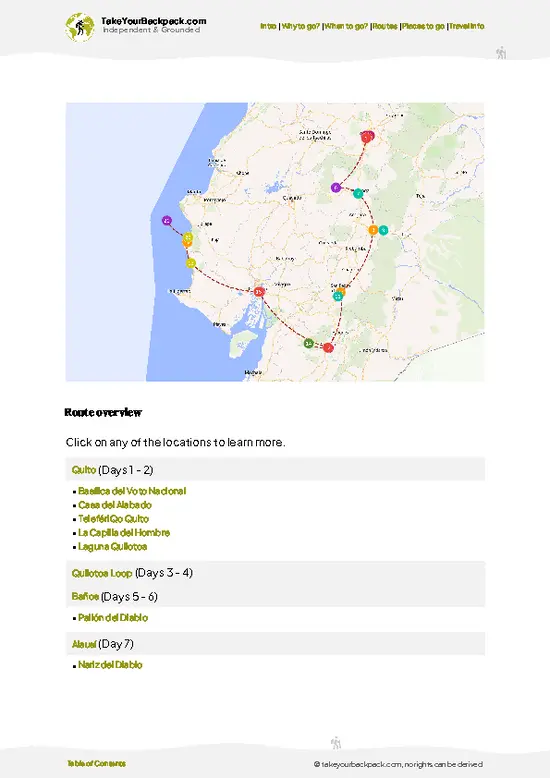
example page 0 from our offline Travel Guide for Ecuador
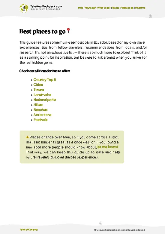
example page 1 from our offline Travel Guide for Ecuador
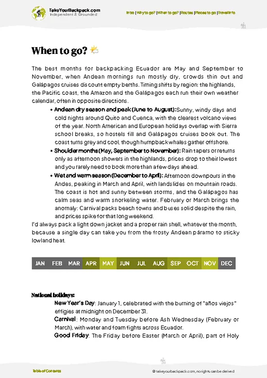
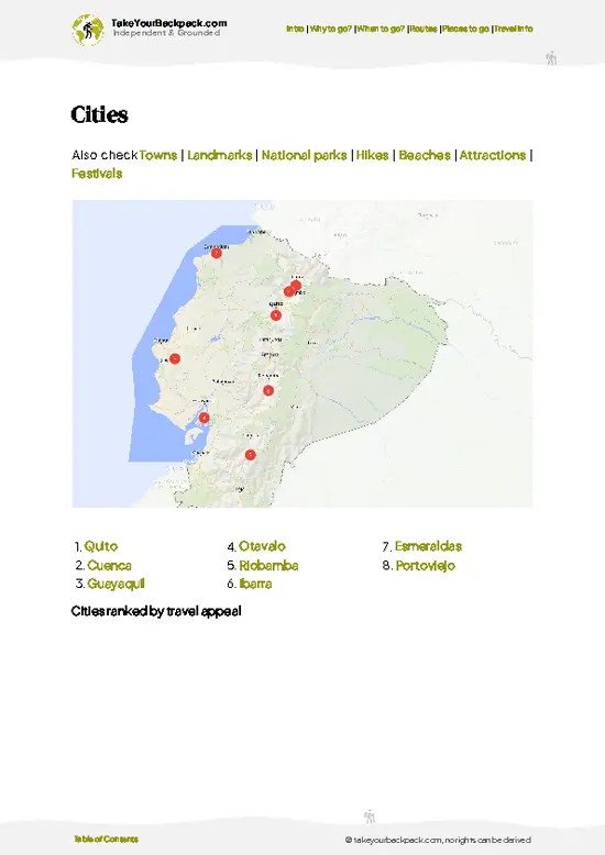
example page 2 from our offline Travel Guide for Ecuador
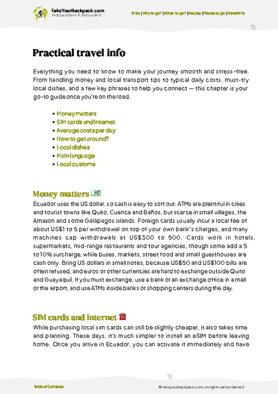
example page 3 from our offline Travel Guide for Ecuador
example page 4 from our offline Travel Guide for Ecuador
example page 5 from our offline Travel Guide for Ecuador
example page 6 from our offline Travel Guide for Ecuador
example page 7 from our offline Travel Guide for Ecuador
Loading the map 🌍
CLICK TO FILTER
cities
towns
landmarks
national parks
hikes
beaches
attractions
festivals
SHOW COUNTRY’S BESTSHOW ALL

✨ Why go?
Ranked #2 hike in Ecuador
What makes it a must-see hike

El Altar gives you a full volcanic amphitheater for a two-day walk, which is hard to match anywhere else in the Ecuadorian Andes. The payoff is the Laguna Amarilla crater lake, sitting under a ring of nine named summits, with Obispo at 5,319 meters as the highest point. Most of Ecuador’s big sights come with a road to the car park. Here you earn the view, and the crowd stays thin because the trek is demanding and the access is awkward. That works in your favor. You get quiet trails, páramo grass, and camp nights with a sky full of stars instead of a queue of day-trippers. Pair it with Riobamba, where you can buy supplies and arrange guides, and then carry on to Baños or Cuenca by bus. Cost stays modest once you split a guide and mules among a group, and you can shorten the route by staying at a single refuge.

💡 HighlightsPlaces and moments you shouldn't skip

  1. Laguna Amarilla: The emerald crater lake is the reason people come. It sits in the collapsed caldera, and meltwater from the glacier above feeds it. On a clear morning the color is startling against the dark rock.
  2. The crater rim and its summits: The caldera is ringed by peaks with names like Obispo, Monja Grande, Canónigo and Fraile. Standing on the rim, you can see the whole amphitheater and understand why it looked so much bigger in older accounts. The final climb is steep and loose.
  3. Laguna Mandur: A smaller lake along the approach, with calm water that mirrors the ridgeline when the wind drops. It is a good rest stop and an easy place to spot birdlife on the páramo.
  4. Candelaria refuge area: This is the usual base for the trek. It sits in open highland grass with the first clear views of the
… read more 👉
  1. Laguna Amarilla: The emerald crater lake is the reason people come. It sits in the collapsed caldera, and meltwater from the glacier above feeds it. On a clear morning the color is startling against the dark rock.
  2. The crater rim and its summits: The caldera is ringed by peaks with names like Obispo, Monja Grande, Canónigo and Fraile. Standing on the rim, you can see the whole amphitheater and understand why it looked so much bigger in older accounts. The final climb is steep and loose.
  3. Laguna Mandur: A smaller lake along the approach, with calm water that mirrors the ridgeline when the wind drops. It is a good rest stop and an easy place to spot birdlife on the páramo.
  4. Candelaria refuge area: This is the usual base for the trek. It sits in open highland grass with the first clear views of the massif, and it is where you organize guides and mules before the main climb.
  5. Collanes valley and the wild horses: The broad river valley below El Altar is open páramo, with herds of free-roaming horses and sometimes Andean condors overhead. It is the best place on the route to slow down and look around.
Start with Laguna Amarilla, because clouds usually roll into the crater by midday and the lake is at its best in clear early light.
Spotted a mistake or missing something? Contact us.

Things to do around El Altar

Ratings based on Tripadvisor reviews. When you book through this link, you support our work at no extra cost to you.

🌤️ When to go?Weather, crowds, and seasonal trade-offs

  • Dry Season (December to February): The most reliable window for the Capac Urcu crater lake, and the one most trekkers choose. Mornings at Hacienda Releche (about 3,200 m) start near 3 to 6°C (37 to 43°F), and camp at Laguna Amarilla (about 4,200 m) can fall below freezing.
  • Wetter Months (March to May): Afternoon rain and mist hide the crater rim, and the muddy trail past Collanes slows everyone down. Highs reach 12 to 16°C (54 to 61°F).
  • Rainiest Months (June to September): June and July are the wettest months, and the ridge is windy and cold. Expect 2 to 14°C (36 to 57°F) and busier weekends with Ecuadorian groups.
  • October and November: Weather turns changeable again, with fewer people on the trail.
  • Daylight and Costs: Daylight stays close to 12 hours all year, so start early before cloud builds.
… read more 👉
  • Dry Season (December to February): The most reliable window for the Capac Urcu crater lake, and the one most trekkers choose. Mornings at Hacienda Releche (about 3,200 m) start near 3 to 6°C (37 to 43°F), and camp at Laguna Amarilla (about 4,200 m) can fall below freezing.
  • Wetter Months (March to May): Afternoon rain and mist hide the crater rim, and the muddy trail past Collanes slows everyone down. Highs reach 12 to 16°C (54 to 61°F).
  • Rainiest Months (June to September): June and July are the wettest months, and the ridge is windy and cold. Expect 2 to 14°C (36 to 57°F) and busier weekends with Ecuadorian groups.
  • October and November: Weather turns changeable again, with fewer people on the trail.
  • Daylight and Costs: Daylight stays close to 12 hours all year, so start early before cloud builds. Guide and mule prices barely move by season, though holiday weekends fill the hacienda beds.
Book your guide for a weekday in December or January and you get the best odds of a clear crater view with far fewer people.


source: climatestotravel.comJANJanuary: fair for travelingFEBFebruary: fair for travelingMARMarch: fair for travelingAPRApril: fair for travelingMAYMay: highly recommended for travelingJUNJune: excellent for travelingJULJuly: excellent for travelingAUGAugust: excellent for travelingSEPSeptember: highly recommended for travelingOCTOctober: fair for travelingNOVNovember: fair for travelingDECDecember: fair for traveling
ecuador-hike-el-altar
© Google | Jessenia Rueda

✈️ The backpacker research shortcutEcuador Travel Guide

An offline-friendly backpacking guide with optimized travel routes, ranked highlights, transport advice, and the best areas to stay.
example page 0 from our offline Travel Guide for Ecuador
example page 1 from our offline Travel Guide for Ecuador
example page 2 from our offline Travel Guide for Ecuador
example page 3 from our offline Travel Guide for Ecuador
example page 4 from our offline Travel Guide for Ecuador
example page 5 from our offline Travel Guide for Ecuador
example page 6 from our offline Travel Guide for Ecuador
example page 7 from our offline Travel Guide for Ecuador
The digital guide (274 pages) contains:
✅ 87 highlights, ranked by travel appeal
✅ Optimized 5, 10 & 15-day travel routes
✅ Cities, national parks, landmarks, beaches
✅ How to get around
✅ Offline-friendly for travel without Wi-Fi
👉 Click to see all 30+ guide features

📅 Plan smarter in minutes, not weeks
✅ Month by month travel advice
✅ Festivals & national holidays
✅ Budget expectations

🗺️ Go to the right places, skip the overrated ones
✅ Honest pros & cons of destinations
✅ Top hikes, parks & viewpoints
✅ Lesser-known places most travelers miss
✅ Clear “worth it vs skip it” guidance

🛏️ Travel smoothly without rookie mistakes
✅ Best areas to stay
✅ Transport systems explained simply
✅ Common scams & safety advice
✅ SIM cards, money & practical tips

🌍 Understand the country, not just visit it
✅ Culture & traditions
✅ 52 Essential phrases & customs
✅ Festivals worth planning around
✅ Traveler-friendly historical context
✅ Insights that make places more meaningful

📱 Built for real travel conditions
✅ Fully downloadable PDF
✅ Works completely offline
✅ Optimized for phone use
✅ Useful in remote areas & buses
✅ Everything in one place
Stop searching, start planning
Get instant access to your full guide. 30‑day money-back guarantee.
+ Add another guide for just

By proceeding you agree to our terms.
Sent to your inbox immediately after payment • 100% Secure Checkout
Best Backpacking Travel Advisor 2025 tourism awardBest Backpacking
Travel Advisor
2025
What others say about Take Your Backpack Guides:
⭐⭐⭐⭐⭐
Fantastic, amazing amount of information!
⭐⭐⭐⭐⭐
My goodness this is amazing, it's what I've been looking for hats off too you!
⭐⭐⭐⭐⭐
I think this is absolutely BRILLIANT
⭐⭐⭐⭐
Very complete and informative. It's still missing places, but I gotta to commend you
⭐⭐⭐⭐⭐
This is truly amazing, thank you, can't wait to explore it with my kids!
⭐⭐⭐⭐⭐
Awesome resource, thank you!
⭐⭐⭐⭐⭐
This is amazing! Can't wait to explore the ones I haven't seen
⭐⭐⭐⭐
I love this! Well done, great idea.
⭐⭐⭐⭐⭐
Thanks for taking the time to make this gem!
⭐⭐⭐⭐⭐
This might be the best website I've ever seen.
⭐⭐⭐⭐⭐
Congratulations, and thank you so much for your work; it's incredibly valuable.
⭐⭐⭐⭐
In all seriousness I think you did a great job pointing out the important spots
⭐⭐⭐⭐⭐
10/10 very good
⭐⭐⭐⭐⭐
As someone who's only just starting to visit regularly this is awesome, thank you.
⭐⭐⭐⭐
Thank you very much! I'm going to visit my dad, it's going to be very useful!
⭐⭐⭐⭐⭐
This is really cool! We'll be travelling for the first time and this definitely come in handy.
⭐⭐⭐⭐⭐
You are now our minister of culture, congratulations 👨‍💼
⭐⭐⭐⭐⭐
Just wanted to tell you that this is a pearl! Going to follow your recommendations.
⭐⭐⭐⭐⭐
This is so cool. I'll definitely be using the resource for my travels soon.
⭐⭐⭐⭐⭐
This is very impressive! Good work.
⭐⭐⭐⭐⭐
This is an amazing and informative site. Very well done!

🛏️ Where to stay?Best areas to stay in Ecuador

If you enjoy meeting fellow travelers, consider choosing hostels with high ratings for atmosphere. On the other hand, if you prefer having your own space, a hotel might be a better option.

🥾 Hike detailsEverything you need to know before hiking El Altar

Total Distance: Roughly 20 to 24 kilometers round trip, depending on whether you start at Hacienda Releche or at the Candelaria area.
Estimated Duration: Two days is standard, with a night at a refuge or camp. Fit hikers can do the lake as a long single day from the closer trailhead.
Difficulty: Moderate to hard. Altitude is the main issue, with the trail running between about 3,600 and 4,300 meters and the rim climb above that. Mud is common.
Starting Point: The trek begins near Hacienda Releche or Candelaria in Sangay National Park.
  • Public transport: Buses run from Riobamba to Penipe. From there
… read more 👉
Total Distance: Roughly 20 to 24 kilometers round trip, depending on whether you start at Hacienda Releche or at the Candelaria area.
Estimated Duration: Two days is standard, with a night at a refuge or camp. Fit hikers can do the lake as a long single day from the closer trailhead.
Difficulty: Moderate to hard. Altitude is the main issue, with the trail running between about 3,600 and 4,300 meters and the rim climb above that. Mud is common.
Starting Point: The trek begins near Hacienda Releche or Candelaria in Sangay National Park.
  • Public transport: Buses run from Riobamba to Penipe. From there you need a pickup truck or a pre-arranged transfer to the trailhead.
  • Guides and mules: Local guides and pack animals are hired at the trailhead or through agencies in Riobamba.
Major Landmarks: Candelaria refuge, Laguna Mandur, Laguna Amarilla, the crater rim and the summits of Obispo and Monja Grande.
Terrain and Scenery: Grassy páramo, boggy flats, rocky ridges, and a steep loose slope up to the rim. The caldera walls and glacier make a dramatic backdrop.
Vegetation: Tussock grass, cushion plants, patches of polylepis forest lower down, and mosses around the lakes.
Wildlife: Wild horses, Andean condors, páramo birds, and occasionally deer. Spectacled bears live in the park but are rarely seen.
⚠️ Hiking info can sometimes be outdated or inaccurate. Before you hit the trail, check the latest conditions with locals. If you do spot anything that's off, I'd love to hear from you, so I can update it for fellow travelers.

🛡️ SafetySafety Tips and Common Scams in El Altar

El Altar is a manageable trek for fit, acclimatized hikers, and most problems come from cold, wet weather and altitude rather than danger. The crater lake sits near 4,200 m, so spend a couple of days in Riobamba or Baños first and keep a slow, steady pace on the climb from Collanes. Weather swings fast: fog can erase the path within minutes, and the mud near Hacienda Releche gets deep after rain. Waterproof boots, a proper rain shell, warm layers and a sleeping bag rated to around -5°C (23°F) are what first-timers most often under-pack. The final stretch to the Laguna Amarilla viewpoint has loose, steep ground, so watch your footing and keep your distance from the crater rim. Wildlife is mild: you may see Andean condors, wild horses and spectacled bears at a distance, which is a good reason … read more 👉
El Altar is a manageable trek for fit, acclimatized hikers, and most problems come from cold, wet weather and altitude rather than danger. The crater lake sits near 4,200 m, so spend a couple of days in Riobamba or Baños first and keep a slow, steady pace on the climb from Collanes. Weather swings fast: fog can erase the path within minutes, and the mud near Hacienda Releche gets deep after rain. Waterproof boots, a proper rain shell, warm layers and a sleeping bag rated to around -5°C (23°F) are what first-timers most often under-pack. The final stretch to the Laguna Amarilla viewpoint has loose, steep ground, so watch your footing and keep your distance from the crater rim. Wildlife is mild: you may see Andean condors, wild horses and spectacled bears at a distance, which is a good reason to keep food sealed and give animals space. Hire a local guide and pack a headlamp.

FAQTraveler FAQ

Most hikers need 2 to 3 days for the classic route, starting at Hacienda Releche near Collanes and camping at Laguna Amarilla or Camp Italia. The round trip to the crater lake is about 20 to 25 km, and the day hike from the hacienda to the viewpoint takes 5 to 7 hours one way. Reaching El Altar from Riobamba takes roughly 2 to 3 hours by road to Candelaria or Releche.
El Altar is moderately to very demanding, especially for the altitude and the muddy, steep trail. The route climbs from about 3,200 m to over 4,200 m, and cold, wind and fog add to the effort. Good fitness and two days of acclimatization in Riobamba or Baños make it manageable, while technical climbing of the summit peaks is only for experienced mountaineers.
Yes, a local guide is strongly recommended and is the normal way to hike El Altar, since the trail is easy to lose in fog. Guides arranged in Riobamba or Baños typically cost US$40 to 70 a day, plus mules at roughly US$20 to 30 if you want your gear carried. Entry to Sangay National Park is free, and the hacienda charges separately for camping or beds, around US$10 to 25 a night.
⚠️ Things can change over time, so always validate details locally before you go.

Other Ecuadorian hikes near El Altar

Explore more nearby:

  • Inca Trail to Ingapirca—Achupallas to Ingapirca, Cobbled Inca road, Sacred Culebrillas lake, Wild camping| 79 km away
  • Quilotoa Loop—Village-to-village, Sigüi canyon, Hostel dinners, 3,900 m crater| 110 km away
  • Laguna de Cuicocha—14 km rim loop, Twin lake islands, Cotacachi views, Steaming fumaroles| 215 km away

💡 Not sure where to go next?
Create a personalized itinerary for Ecuador including El Altar and the places that fit your trip.

Generate my itinerary

👉 Discover all hikes

Or checkout all Ecuador has to offer (think cities, towns, villages, national parks, hikes, beaches, festivals)
Country photo of Ecuador

We 💚 feedbackFinal thoughts on hiking the El Altar

El Altar is at its best on a clear morning in the drier months, roughly late November to early February, when the crater walls stand sharp and the lake shows its full green. Clouds often close in by midday, so I would camp near Candelaria and hike to the rim at first light. Bring waterproof boots, because the mud is relentless.

✈️ When did I visit Ecuador?
Ecuador I visited during my half year trip through South and Central America back in 2003

✍️ Help improve this page!
The information on this page is based on my own backpacking experience in Ecuador, supplemented with up-to-date research and feedback from other travelers. Travel details can change, so if you notice anything outdated or incomplete, feel free to let me know.


🙋‍♂️ Give feedback

👋 Meet the founderWho’s Behind Take Your Backpack?

Johan, backpacker and founder of TakeYourBackpackHi, I’m Johan (Netherlands 🇳🇱), the creator of TakeYourBackpack. Over the past 3 decades, I’ve backpacked through 90+ countries across six continents, gaining extensive experience with independent travel, long-term trips, and overland routes.

This site is built on a combination of firsthand travel experience and carefully curated insights from other backpackers. Many guides are based on places I’ve personally visited, while others bring together tips, observations, and practical advice shared by trusted travelers I’ve met along the way.

The goal is to provide realistic, experience-driven guidance — not generic itineraries — so you can explore destinations with better context, clearer expectations, and more confidence.