×

Honduras🇭🇳 | national parksMontaña de Yoro National ParkTolupan villages, mist ridges, pine valleys, starry village stays | things to do and best time to go

Explore Río Plátano Biosphere ReserveExplore Montaña de Botaderos National Park

Backpacking in Montaña de Yoro
👀 For curious travelersnational park ranked #12
By Johan Kruseman 🇳🇱 | Updated October 23, 2026

Montaña de Yoro is not a managed park with ranger stations and marked loops; it is a cloud-forest range where Tolupan (Tol) communities live and farm. It sits in the department of Yoro, in the north of Honduras, inland from the coast. The pine and broadleaf slopes, quetzal habitat and waterfalls are real draws, but you won’t find signed trails, so skip going alone. On the way, our pickup stopped at a roadside stand where a woman handed up hot tortillas through the window, and the driver would not take payment for them. Hire a local guide through a community contact in advance, bring cash, and leave extra days for washed-out roads.

Discover everything you want to know in the 📖 Honduras Travel Guide.


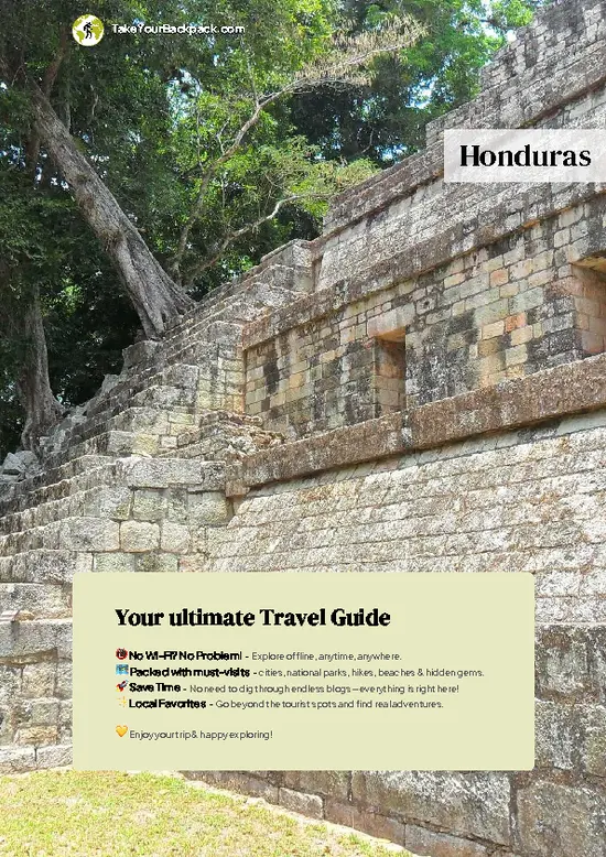
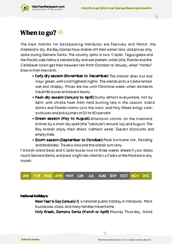
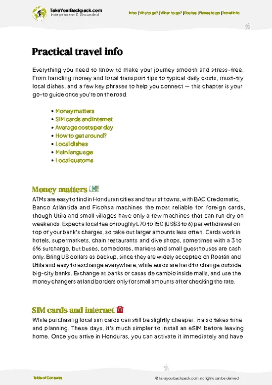
example page 0 from our offline Travel Guide for Honduras
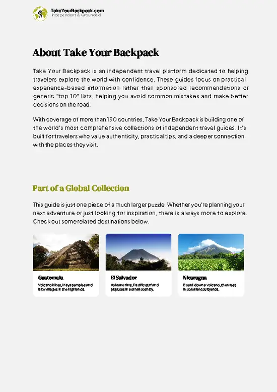
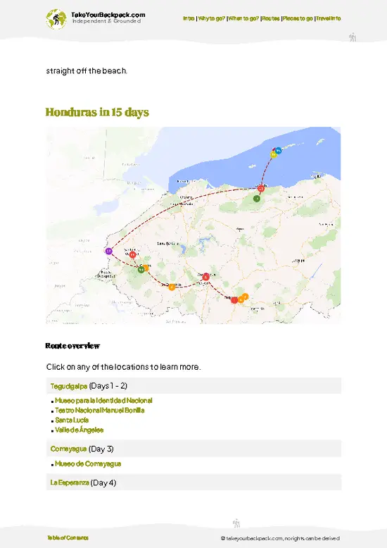
example page 1 from our offline Travel Guide for Honduras
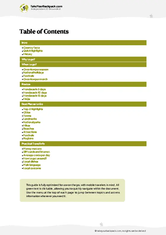
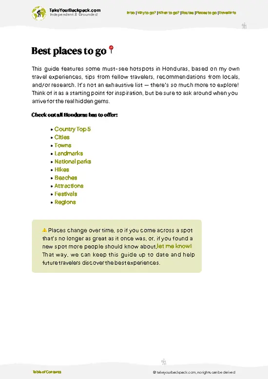
example page 2 from our offline Travel Guide for Honduras
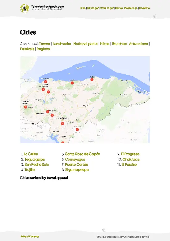
example page 3 from our offline Travel Guide for Honduras
example page 4 from our offline Travel Guide for Honduras
example page 5 from our offline Travel Guide for Honduras
example page 6 from our offline Travel Guide for Honduras
example page 7 from our offline Travel Guide for Honduras
Loading the map 🌍
CLICK TO FILTER
cities
towns
landmarks
national parks
hikes
beaches
attractions
festivals
regions
SHOW COUNTRY’S BESTSHOW ALL

✨ Why go?
Ranked #12 national park in Honduras
What sets this place apart

Montaña de Yoro National Park draws backpackers who want forest without a ticket booth. Most of the walking happens on footpaths between Tolupan villages, so you meet the people who actually live on these ridges, and a local guide is the way in. That suits self-guided travelers who are happy to organize things on the ground rather than book a tour from a city. The second reason is the habitat. Cloud forest above roughly 1,500 meters shelters birds such as the resplendent quetzal, along with orchids and tree ferns, and the pine slopes lower down open up views over the valleys of Yoro. Crowds are close to nonexistent, which is rare in Honduras. You trade polish for access, and for many people that is the whole appeal.

💡 HighlightsEssential experiences to have while exploring Montaña de Yoro

  1. Cloud forest ridges: The high, mossy forest is the park’s main draw, with tree ferns, orchids and dripping epiphytes under a constant mist.
  2. Quetzal and bird watching: Resplendent quetzals and mountain birds are found in the upper forest, best looked for in the early morning with a guide.
  3. Tolupan communities: Visiting a village on the mountain gives you context on the people who have lived here for generations and still farm the slopes.
  4. Pine forest slopes: Lower down, open stands of pine give long views across the Yoro valleys and easier walking.
  5. Mountain waterfalls: Streams from the ridges drop through the forest, and small falls make good swimming and rest stops after a hike.
  6. Coffee and farm country: The foothills have small farms where you see how highland families grow crops on steep ground.
… read more 👉
  1. Cloud forest ridges: The high, mossy forest is the park’s main draw, with tree ferns, orchids and dripping epiphytes under a constant mist.
  2. Quetzal and bird watching: Resplendent quetzals and mountain birds are found in the upper forest, best looked for in the early morning with a guide.
  3. Tolupan communities: Visiting a village on the mountain gives you context on the people who have lived here for generations and still farm the slopes.
  4. Pine forest slopes: Lower down, open stands of pine give long views across the Yoro valleys and easier walking.
  5. Mountain waterfalls: Streams from the ridges drop through the forest, and small falls make good swimming and rest stops after a hike.
  6. Coffee and farm country: The foothills have small farms where you see how highland families grow crops on steep ground.
  7. Mountain night skies: With no town lights nearby, village stays on the ridge give you a clear field of stars.
Bird watching at dawn pairs well with a village walk and waterfall swim later the same day.
Spotted a mistake or missing something? Contact us.

Things to do near Montaña de Yoro National Park

Ratings based on Tripadvisor reviews. When you book through this link, you support our work at no extra cost to you.

🌤️ When to go?Choosing the right time of year

  • Dry Season (Nov to Apr): Trails firm up and cloud forest views open. Valley days reach 26 to 32°C (79 to 90°F), while the higher ridges drop to 10 to 16°C (50 to 61°F) at night. Daylight runs about 11 to 12 hours.
  • Hot Months (Mar to May): Smoke from farm burning can haze the views, and lowland heat climbs toward 35°C (95°F).
  • Rainy Season (Jun to Oct): Afternoon downpours turn clay paths slick and rivers rise. Hikes run slower, but forest is intensely green and quiet.
  • Crowds and Prices: The park sees few foreign visitors. Local lodging rates barely move, though Semana Santa (March or April) and Christmas fill rooms in Yoro town.
Start hikes early, since cloud usually settles in by midday.

source: climatestotravel.comJANJanuary: excellent for travelingFEBFebruary: excellent for travelingMARMarch: excellent for travelingAPRApril: highly recommended for travelingMAYMay: fair for travelingJUNJune: fair for travelingJULJuly: fair for travelingAUGAugust: fair for travelingSEPSeptember: fair for travelingOCTOctober: fair for travelingNOVNovember: highly recommended for travelingDECDecember: excellent for traveling
when-to-go

✈️ The backpacker research shortcutHonduras Travel Guide

An offline-friendly backpacking guide with optimized travel routes, ranked highlights, transport advice, and the best areas to stay.
example page 0 from our offline Travel Guide for Honduras
example page 1 from our offline Travel Guide for Honduras
example page 2 from our offline Travel Guide for Honduras
example page 3 from our offline Travel Guide for Honduras
example page 4 from our offline Travel Guide for Honduras
example page 5 from our offline Travel Guide for Honduras
example page 6 from our offline Travel Guide for Honduras
example page 7 from our offline Travel Guide for Honduras
The digital guide (255 pages) contains:
✅ 70 highlights, ranked by travel appeal
✅ Optimized 5, 10 & 15-day travel routes
✅ Cities, national parks, landmarks, beaches
✅ How to get around
✅ Offline-friendly for travel without Wi-Fi
👉 Click to see all 30+ guide features

📅 Plan smarter in minutes, not weeks
✅ Month by month travel advice
✅ Festivals & national holidays
✅ Budget expectations

🗺️ Go to the right places, skip the overrated ones
✅ Honest pros & cons of destinations
✅ Top hikes, parks & viewpoints
✅ Lesser-known places most travelers miss
✅ Clear “worth it vs skip it” guidance

🛏️ Travel smoothly without rookie mistakes
✅ Best areas to stay
✅ Transport systems explained simply
✅ Common scams & safety advice
✅ SIM cards, money & practical tips

🌍 Understand the country, not just visit it
✅ Culture & traditions
✅ 52 Essential phrases & customs
✅ Festivals worth planning around
✅ Traveler-friendly historical context
✅ Insights that make places more meaningful

📱 Built for real travel conditions
✅ Fully downloadable PDF
✅ Works completely offline
✅ Optimized for phone use
✅ Useful in remote areas & buses
✅ Everything in one place
Stop searching, start planning
Get instant access to your full guide. 30‑day money-back guarantee.
+ Add another guide for just

By proceeding you agree to our terms.
Sent to your inbox immediately after payment • 100% Secure Checkout
Best Backpacking Travel Advisor 2025 tourism awardBest Backpacking
Travel Advisor
2025
What others say about Take Your Backpack Guides:
⭐⭐⭐⭐⭐
Fantastic, amazing amount of information!
⭐⭐⭐⭐⭐
My goodness this is amazing, it's what I've been looking for hats off too you!
⭐⭐⭐⭐⭐
I think this is absolutely BRILLIANT
⭐⭐⭐⭐
Very complete and informative. It's still missing places, but I gotta to commend you
⭐⭐⭐⭐⭐
This is truly amazing, thank you, can't wait to explore it with my kids!
⭐⭐⭐⭐⭐
Awesome resource, thank you!
⭐⭐⭐⭐⭐
This is amazing! Can't wait to explore the ones I haven't seen
⭐⭐⭐⭐
I love this! Well done, great idea.
⭐⭐⭐⭐⭐
Thanks for taking the time to make this gem!
⭐⭐⭐⭐⭐
This might be the best website I've ever seen.
⭐⭐⭐⭐⭐
Congratulations, and thank you so much for your work; it's incredibly valuable.
⭐⭐⭐⭐
In all seriousness I think you did a great job pointing out the important spots
⭐⭐⭐⭐⭐
10/10 very good
⭐⭐⭐⭐⭐
As someone who's only just starting to visit regularly this is awesome, thank you.
⭐⭐⭐⭐
Thank you very much! I'm going to visit my dad, it's going to be very useful!
⭐⭐⭐⭐⭐
This is really cool! We'll be travelling for the first time and this definitely come in handy.
⭐⭐⭐⭐⭐
You are now our minister of culture, congratulations 👨‍💼
⭐⭐⭐⭐⭐
Just wanted to tell you that this is a pearl! Going to follow your recommendations.
⭐⭐⭐⭐⭐
This is so cool. I'll definitely be using the resource for my travels soon.
⭐⭐⭐⭐⭐
This is very impressive! Good work.
⭐⭐⭐⭐⭐
This is an amazing and informative site. Very well done!

🛏️ Where to stay?How to pick the right area

Most backpackers sleep in Yoro town, the park’s gateway, because there is no hostel network inside the park. Yoro has a handful of simple hotels around the central park, with private rooms with fan and private bath for US$10 to 25. Expect basic comforts, cold showers and patchy wifi. Inside the mountains, the Jicaque (Tolupan) communities and nearby villages such as Subirana and Locomapa sometimes offer a floor or a room through local guides, and camping near a village is possible with permission. Bring your own tent and sleeping bag if you want flexibility. For more choice, Progreso (about 1. … read more 👉
Most backpackers sleep in Yoro town, the park’s gateway, because there is no hostel network inside the park. Yoro has a handful of simple hotels around the central park, with private rooms with fan and private bath for US$10 to 25. Expect basic comforts, cold showers and patchy wifi. Inside the mountains, the Jicaque (Tolupan) communities and nearby villages such as Subirana and Locomapa sometimes offer a floor or a room through local guides, and camping near a village is possible with permission. Bring your own tent and sleeping bag if you want flexibility. For more choice, Progreso (about 1.5 hours away) and San Pedro Sula (roughly 2.5 to 3 hours) have proper hostels and hotels from US$10 for a dorm bed, and they make sensible bases for a rest day or an early bus out.

👛 Costs (as of 23 October 2026)Typical daily expenses

Montaña de Yoro National Park costs roughly US$35 to 77 a day for a backpacker using local guides and basic lodging.
CategoryBudget RangeLocal Reality
Entrance feeUS$0 to 5Access is mostly informal; small community or guide contributions may apply.
Accommodation (high season)US$10 to 25Simple hotel rooms in Yoro town; village stays are cheaper and by arrangement.
Local guideUS$15 to 25Strongly advised for day hikes; negotiate in advance and pay in cash.
Local transportUS$3 to 10Buses and pickups connect Yoro with El Progreso and San Pedro Sula; trucks to trailheads cost extra.
Food and suppliesUS$7 to 12Baleadas and comedor set meals are cheap; buy snacks and water in town.
Total Daily BudgetUS$35 to 77Lower end if you share guide costs and camp.
⚠️ Prices can change and everyone travels differently, so take this as a rough guide. Hope it helps you plan your adventure!

🥾 TrailsPlan your hike in Montaña de Yoro: routes, terrain, and sights

Montaña de Yoro National Park has no formally signed trail network, so walks follow the paths that villagers use between settlements, and a local guide is the practical way to do them. Most routes climb steadily from pine-covered lower slopes into cooler cloud forest, with muddy, root-tangled footing that can turn slick after rain.
  • Village-to-village walks: Half-day to full-day routes along ridge paths between Tolupan communities, moderate effort with steady climbing and several stream crossings.
  • Cloud forest climb: A long uphill day into the upper forest, hard on the legs, with the best chance
… read more 👉
Montaña de Yoro National Park has no formally signed trail network, so walks follow the paths that villagers use between settlements, and a local guide is the practical way to do them. Most routes climb steadily from pine-covered lower slopes into cooler cloud forest, with muddy, root-tangled footing that can turn slick after rain.
  • Village-to-village walks: Half-day to full-day routes along ridge paths between Tolupan communities, moderate effort with steady climbing and several stream crossings.
  • Cloud forest climb: A long uphill day into the upper forest, hard on the legs, with the best chance of seeing quetzals and other birds at dawn.
  • Waterfall hikes: Shorter, easier outings of a couple of hours following streams to falls, suitable for a rest day.
  • Terrain: Steep slopes, loose clay, mud and thick vegetation; sturdy boots and rain gear matter.
  • Wildlife: Birds, howler monkeys in some areas, butterflies and many orchids and ferns.
Reaching the park means getting to the town of Yoro first, then continuing by local pickup or hired transport onto rough mountain roads, which can become impassable in heavy rain. Visitors are few, so you will likely have the paths to yourself. There is no official entrance gate, but you should expect to pay your guide and any community you stay with in cash, and arranging this ahead is wise.
⚠️ Hiking info can sometimes be outdated or inaccurate. Before you hit the trail, check the latest conditions with locals. If you do spot anything that's off, I'd love to hear from you, so I can update it for fellow travelers.

🛡️ SafetyTraveler Safety Guide

Montaña de Yoro is rural, lightly visited and mostly straightforward, but go with a local guide rather than alone. Trails are unsigned and cross farmland, so navigation is the main problem. Clay soil gets greasy after rain, so wear boots with real tread and carry a stick for steep descents. Rivers rise quickly in the wet months, so cross early and never in spate. Bring more water than you expect, plus purification tablets. Snakes exist, so watch your footing and keep to the path. Ask your guide about current conditions before setting out. Respect villagers by asking before photographing people or camping near homes. Tell your hotel your route and return time.

FAQFrequently asked questions about Montaña de Yoro

Two to three days works well for Montaña de Yoro National Park. That gives you one day to reach Yoro town and arrange a guide, plus one or two days for hikes through cloud forest and Tolupan villages. Add a day if you plan to trek between communities such as Subirana.
Montaña de Yoro National Park is possible without a car, but you will rely on buses and local pickups. Buses run from San Pedro Sula (about 2.5 to 3 hours) and El Progreso (about 1.5 hours) to Yoro town, where you can hire a guide and arrange a ride to trailheads. Pickup rides to villages cost roughly US$3 to 10.
Montaña de Yoro National Park has no formal ticket booth, and access is mostly informal. Expect small community or guide contributions of about US$0 to 5, and a local guide costs around US$15 to 25 a day. Bring cash, as there are no card machines near the trails.
⚠️ Things can change over time, so always validate details locally before you go.

Other Honduran national parks near Montaña de Yoro

Explore more nearby:


💡 Not sure where to go next?
Create a personalized itinerary for Honduras including Montaña de Yoro and the places that fit your trip.

Generate my itinerary

👉 Discover all national parks

Or checkout all Honduras has to offer (think cities, towns, villages, national parks, hikes, beaches, festivals)
Country photo of Honduras

We 💚 feedbackSumming up the experience

Montaña de Yoro National Park is easy to treat as just a hike, but the villages are the point, and people there set the pace. I would bring small gifts of food or school supplies, ask your guide to arrange a home stay, and keep a spare day in case the road closes.

✈️ When did I visit Honduras?
Honduras I visited during my half year trip through South and Central America back in 2003

✍️ Help improve this page!
The information on this page is based on my own backpacking experience in Honduras, supplemented with up-to-date research and feedback from other travelers. Travel details can change, so if you notice anything outdated or incomplete, feel free to let me know.


🙋‍♂️ Give feedback

👋 Meet the founderWho’s Behind Take Your Backpack?

Johan, backpacker and founder of TakeYourBackpackHi, I’m Johan (Netherlands 🇳🇱), the creator of TakeYourBackpack. Over the past 3 decades, I’ve backpacked through 90+ countries across six continents, gaining extensive experience with independent travel, long-term trips, and overland routes.

This site is built on a combination of firsthand travel experience and carefully curated insights from other backpackers. Many guides are based on places I’ve personally visited, while others bring together tips, observations, and practical advice shared by trusted travelers I’ve met along the way.

The goal is to provide realistic, experience-driven guidance — not generic itineraries — so you can explore destinations with better context, clearer expectations, and more confidence.