×

Mozambique🇲🇿 | hikesMount NamuliGranite dome, tea estates, Lomwe sacred sites, summit pools | things to do and best time to go

Explore Inhaca IslandExplore Mount Chiperone

Backpacking in Mount Namuli
🌟 Highlighthike ranked #2
By Johan Kruseman 🇳🇱 | Updated October 22, 2026

Cold mist slaps your face at 2,000 meters as the granite dome above you appears for three seconds, then vanishes again. That is Mount Namuli, in Zambézia Province in the north of Mozambique, a short drive from the town of Gurué. At 2,419 meters it is the country's second highest peak, and the climb is a steady two to three days of tea fields, forest and bare rock. Scenery is superb. Difficulty is moderate, with steep, slippery sections and a final scramble. Reaching Gurué by chapa (minibus) is simple, but the last stretch to the village trailheads needs a hired motorbike or 4x4. Costs catch people out, so agree the community guide fee in advance (budget roughly US$15 to 30 a day) and pay only registered local guides. Pack warm layers, because rain and cold arrive without warning. Carry all food from Gurué. You finish among rock pools called Namuli's eyes.

Discover everything you want to know in the 📖 Mozambique Travel Guide.
Best time to go: May - October
Duration: 3 days
Distance: 25 kilometers
Total ascent: 1200 meters


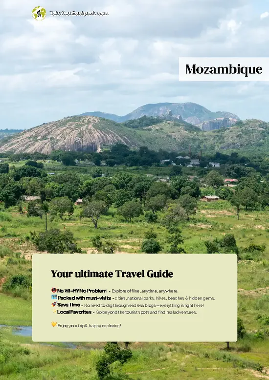
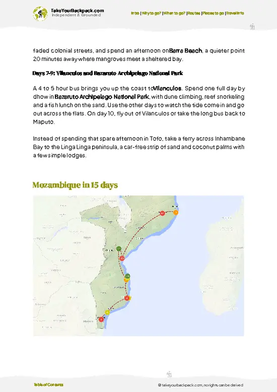
example page 0 from our offline Travel Guide for Mozambique
example page 1 from our offline Travel Guide for Mozambique
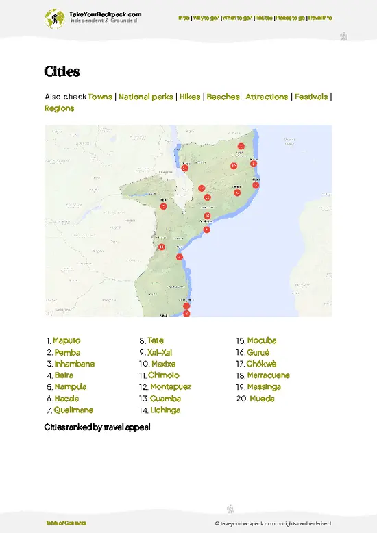
example page 2 from our offline Travel Guide for Mozambique
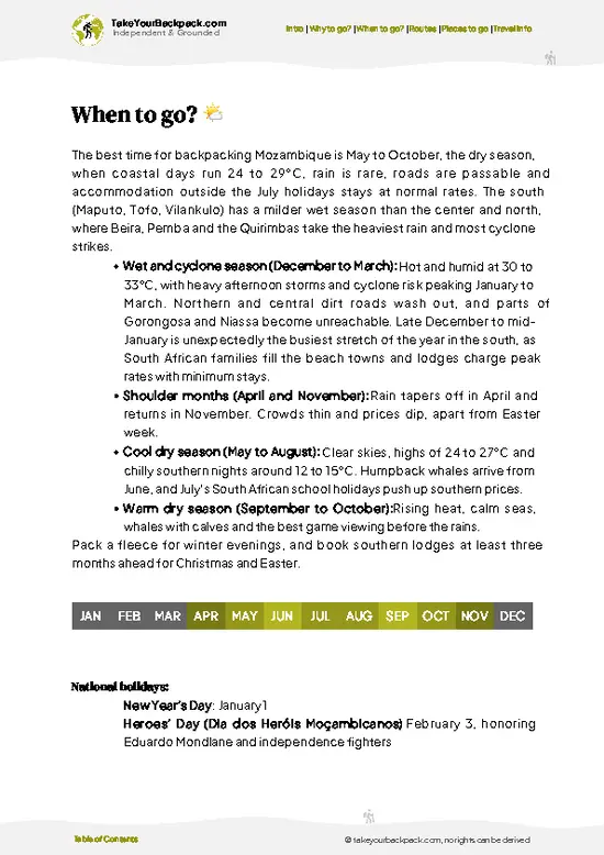
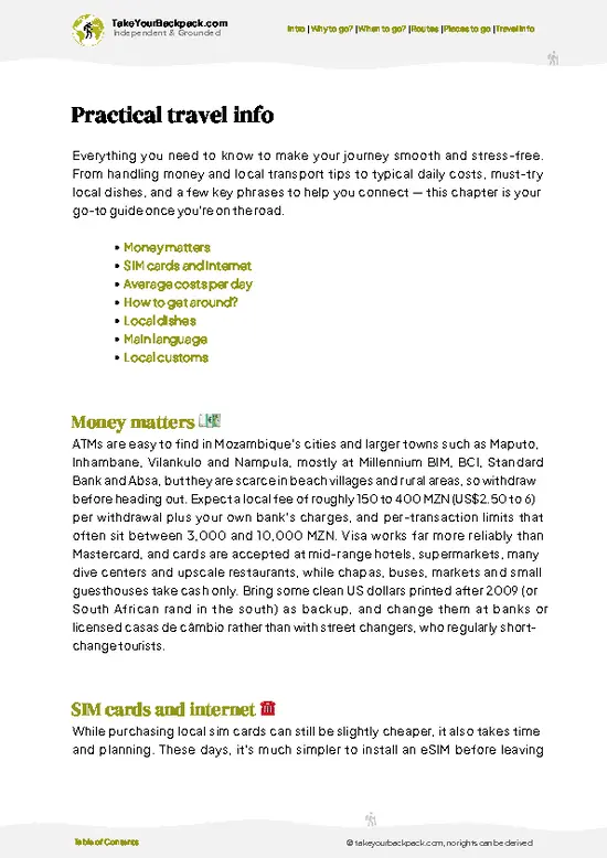
example page 3 from our offline Travel Guide for Mozambique
example page 4 from our offline Travel Guide for Mozambique
example page 5 from our offline Travel Guide for Mozambique
example page 6 from our offline Travel Guide for Mozambique
example page 7 from our offline Travel Guide for Mozambique
Loading the map 🌍
CLICK TO FILTER
cities
towns
national parks
hikes
beaches
attractions
festivals
regions
SHOW COUNTRY’S BESTSHOW ALL

✨ Why go?
Ranked #2 hike in Mozambique
What makes this hike worth hiking

Mount Namuli gives you a mountain that almost nobody climbs, so you share the trails with farmers, not tour groups. The massif rises out of green Gurué tea plantations, and within a few hours you pass from smooth lowland slopes into patches of moist montane forest that harbor rare birds and the endemic Namuli apalis. The summit area is also sacred to the Lomwe people, who hold it as the origin of their ancestors, so walking here means guided visits to places of local belief. Hiring guides from villages like Nassuruma puts your money directly into the community, and it keeps the trip cheap by backpacker standards. Flexible lengths work well: you can do a hard long day to the plateau, or take two or three days camping near the pools and granite domes. It also fits well into a northern Mozambique … read more 👉
Mount Namuli gives you a mountain that almost nobody climbs, so you share the trails with farmers, not tour groups. The massif rises out of green Gurué tea plantations, and within a few hours you pass from smooth lowland slopes into patches of moist montane forest that harbor rare birds and the endemic Namuli apalis. The summit area is also sacred to the Lomwe people, who hold it as the origin of their ancestors, so walking here means guided visits to places of local belief. Hiring guides from villages like Nassuruma puts your money directly into the community, and it keeps the trip cheap by backpacker standards. Flexible lengths work well: you can do a hard long day to the plateau, or take two or three days camping near the pools and granite domes. It also fits well into a northern Mozambique loop linking Gurué, Malawi's border and the coast, for anyone who wants real wilderness between beaches.

💡 HighlightsKey sights and experiences for travelers

  1. Namuli Summit (Mt. Namuli Peak): The 2,419 meter granite dome is the reason to come. On a clear morning you can see across the plateau and tea country, and the final scramble feels earned.
  2. Gurué Tea Plantations: The colonial-era tea estates on the lower slopes form neat green waves beneath the mountain. Walking through the rows at dawn, with pickers starting work, is the gentlest start to the trek.
  3. Namuli Montane Forest: Patches of cool, moss-hung forest hold rare birds, including the Namuli apalis, and bright butterflies. A local guide helps you spot calls and tracks.
  4. Sacred Sites of the Lomwe: The mountain is central to Lomwe origin stories, and guides explain the rules for respectful visits. You will be asked to follow local customs on certain slopes.
  5. Mountain Pools and Waterfalls: Clear streams
… read more 👉
  1. Namuli Summit (Mt. Namuli Peak): The 2,419 meter granite dome is the reason to come. On a clear morning you can see across the plateau and tea country, and the final scramble feels earned.
  2. Gurué Tea Plantations: The colonial-era tea estates on the lower slopes form neat green waves beneath the mountain. Walking through the rows at dawn, with pickers starting work, is the gentlest start to the trek.
  3. Namuli Montane Forest: Patches of cool, moss-hung forest hold rare birds, including the Namuli apalis, and bright butterflies. A local guide helps you spot calls and tracks.
  4. Sacred Sites of the Lomwe: The mountain is central to Lomwe origin stories, and guides explain the rules for respectful visits. You will be asked to follow local customs on certain slopes.
  5. Mountain Pools and Waterfalls: Clear streams drop over rock ledges into cold natural pools near the upper camps. They make a welcome wash after a sweaty climb and a fine campsite backdrop.
For Mount Namuli, the Gurué tea plantations cost nothing to stroll through, making them the cheapest highlight, while the summit and sacred sites require paying for a guide.
Spotted a mistake or missing something? Contact us.

🌤️ When to go?Best time to hike the Mount Namuli

  • Dry Season (May to October): Mount Namuli is most reliable for hiking from June to September, with cool, mostly clear days. Daytime highs reach 20 to 26°C (68 to 79°F) on the lower slopes, while summit nights drop to 5 to 10°C (41 to 50°F). Days run roughly 11 to 12 hours of light, so start early.
  • Hot Build-Up (October to November): Lowland heat climbs to 30 to 35°C (86 to 95°F) and haze can soften views. Showers begin late in the month, and the trail is still manageable.
  • Rainy Season (December to April): Heavy downpours turn the dirt access roads and steep paths to mud. Cloud sits on the plateau for days. Highs are 22 to 28°C (72 to 82°F), and rivers swell. Most hikers skip this period.
  • Crowds and Prices: Mount Namuli sees very few visitors in any month. Community guide and porter fees stay
… read more 👉
  • Dry Season (May to October): Mount Namuli is most reliable for hiking from June to September, with cool, mostly clear days. Daytime highs reach 20 to 26°C (68 to 79°F) on the lower slopes, while summit nights drop to 5 to 10°C (41 to 50°F). Days run roughly 11 to 12 hours of light, so start early.
  • Hot Build-Up (October to November): Lowland heat climbs to 30 to 35°C (86 to 95°F) and haze can soften views. Showers begin late in the month, and the trail is still manageable.
  • Rainy Season (December to April): Heavy downpours turn the dirt access roads and steep paths to mud. Cloud sits on the plateau for days. Highs are 22 to 28°C (72 to 82°F), and rivers swell. Most hikers skip this period.
  • Crowds and Prices: Mount Namuli sees very few visitors in any month. Community guide and porter fees stay flat year-round, roughly US$10 to 25 a day, but transport to Gurúè gets harder in the rains.
Book your guide in Gurúè a few days ahead and plan the climb for July or August.


source: climatestotravel.comJANJanuary: below average for travelingFEBFebruary: below average for travelingMARMarch: below average for travelingAPRApril: fair for travelingMAYMay: highly recommended for travelingJUNJune: excellent for travelingJULJuly: excellent for travelingAUGAugust: excellent for travelingSEPSeptember: highly recommended for travelingOCTOctober: highly recommended for travelingNOVNovember: fair for travelingDECDecember: below average for traveling
when-to-go

✈️ The backpacker research shortcutMozambique Travel Guide

An offline-friendly backpacking guide with optimized travel routes, ranked highlights, transport advice, and the best areas to stay.
example page 0 from our offline Travel Guide for Mozambique
example page 1 from our offline Travel Guide for Mozambique
example page 2 from our offline Travel Guide for Mozambique
example page 3 from our offline Travel Guide for Mozambique
example page 4 from our offline Travel Guide for Mozambique
example page 5 from our offline Travel Guide for Mozambique
example page 6 from our offline Travel Guide for Mozambique
example page 7 from our offline Travel Guide for Mozambique
The digital guide (324 pages) contains:
✅ 78 highlights, ranked by travel appeal
✅ Optimized 5, 10 & 15-day travel routes
✅ Cities, national parks, landmarks, beaches
✅ How to get around
✅ Offline-friendly for travel without Wi-Fi
👉 Click to see all 30+ guide features

📅 Plan smarter in minutes, not weeks
✅ Month by month travel advice
✅ Festivals & national holidays
✅ Budget expectations

🗺️ Go to the right places, skip the overrated ones
✅ Honest pros & cons of destinations
✅ Top hikes, parks & viewpoints
✅ Lesser-known places most travelers miss
✅ Clear “worth it vs skip it” guidance

🛏️ Travel smoothly without rookie mistakes
✅ Best areas to stay
✅ Transport systems explained simply
✅ Common scams & safety advice
✅ SIM cards, money & practical tips

🌍 Understand the country, not just visit it
✅ Culture & traditions
✅ 52 Essential phrases & customs
✅ Festivals worth planning around
✅ Traveler-friendly historical context
✅ Insights that make places more meaningful

📱 Built for real travel conditions
✅ Fully downloadable PDF
✅ Works completely offline
✅ Optimized for phone use
✅ Useful in remote areas & buses
✅ Everything in one place
Stop searching, start planning
Get instant access to your full guide. 30‑day money-back guarantee.
+ Add another guide for just

By proceeding you agree to our terms.
Sent to your inbox immediately after payment • 100% Secure Checkout
Best Backpacking Travel Advisor 2025 tourism awardBest Backpacking
Travel Advisor
2025
What others say about Take Your Backpack Guides:
⭐⭐⭐⭐⭐
Fantastic, amazing amount of information!
⭐⭐⭐⭐⭐
My goodness this is amazing, it's what I've been looking for hats off too you!
⭐⭐⭐⭐⭐
I think this is absolutely BRILLIANT
⭐⭐⭐⭐
Very complete and informative. It's still missing places, but I gotta to commend you
⭐⭐⭐⭐⭐
This is truly amazing, thank you, can't wait to explore it with my kids!
⭐⭐⭐⭐⭐
Awesome resource, thank you!
⭐⭐⭐⭐⭐
This is amazing! Can't wait to explore the ones I haven't seen
⭐⭐⭐⭐
I love this! Well done, great idea.
⭐⭐⭐⭐⭐
Thanks for taking the time to make this gem!
⭐⭐⭐⭐⭐
This might be the best website I've ever seen.
⭐⭐⭐⭐⭐
Congratulations, and thank you so much for your work; it's incredibly valuable.
⭐⭐⭐⭐
In all seriousness I think you did a great job pointing out the important spots
⭐⭐⭐⭐⭐
10/10 very good
⭐⭐⭐⭐⭐
As someone who's only just starting to visit regularly this is awesome, thank you.
⭐⭐⭐⭐
Thank you very much! I'm going to visit my dad, it's going to be very useful!
⭐⭐⭐⭐⭐
This is really cool! We'll be travelling for the first time and this definitely come in handy.
⭐⭐⭐⭐⭐
You are now our minister of culture, congratulations 👨‍💼
⭐⭐⭐⭐⭐
Just wanted to tell you that this is a pearl! Going to follow your recommendations.
⭐⭐⭐⭐⭐
This is so cool. I'll definitely be using the resource for my travels soon.
⭐⭐⭐⭐⭐
This is very impressive! Good work.
⭐⭐⭐⭐⭐
This is an amazing and informative site. Very well done!

🛏️ Where to stay?How to pick the right area

If you enjoy meeting fellow travelers, consider choosing hostels with high ratings for atmosphere. On the other hand, if you prefer having your own space, a hotel might be a better option.

🥾 Hike detailsKey facts about the Mount Namuli hike

Mount Namuli trail overview: Mount Namuli is climbed as a two to three day round trip from villages on the Gurué side, with a steep ascent and a rocky scramble at the top.
Total Distance: Roughly 20 to 25 kilometers return.
Estimated Duration: Two to three days, with one long summit day.
Difficulty: Moderate to demanding. Slippery paths, steep climbs and cold wet weather are the main challenges, and navigation without a guide is hard.
Starting Point: The town of Gurué, reached by chapa from Mocuba or Nampula. From there you arrange a motorbike or 4x4 to the trailhead village, then meet a local guide.
… read more 👉
Mount Namuli trail overview: Mount Namuli is climbed as a two to three day round trip from villages on the Gurué side, with a steep ascent and a rocky scramble at the top.
Total Distance: Roughly 20 to 25 kilometers return.
Estimated Duration: Two to three days, with one long summit day.
Difficulty: Moderate to demanding. Slippery paths, steep climbs and cold wet weather are the main challenges, and navigation without a guide is hard.
Starting Point: The town of Gurué, reached by chapa from Mocuba or Nampula. From there you arrange a motorbike or 4x4 to the trailhead village, then meet a local guide.
Major Landmarks:
  • Tea Estates: Green terraces that mark the start of the climb.
  • Forest Belt: Cool, damp forest with birdsong and tangled roots.
  • Plateau and Pools: Open grass and rock with streams and natural pools.
  • Summit Dome: Bare granite with wide views when the cloud clears.
Terrain and Scenery: Farm paths, muddy forest tracks and granite slabs. Mist often closes in, then clears for sweeping views over the plains.
Vegetation: Tea bushes, smallholder fields, montane forest, then grassland and rock-clinging shrubs near the top.
Wildlife: Mostly birds and butterflies, including the endemic Namuli apalis, plus monkeys and small forest mammals. Large animals are rare.
⚠️ Hiking info can sometimes be outdated or inaccurate. Before you hit the trail, check the latest conditions with locals. If you do spot anything that's off, I'd love to hear from you, so I can update it for fellow travelers.

🛡️ SafetyStaying Safe: What Travelers Should Know

Mount Namuli is a remote, lightly visited hike, so the main hazards are weather and self-reliance rather than crime or dangerous animals. Mist and rain arrive fast on the plateau, and wet granite slabs and red clay get slick, so wear boots with real tread and pack a waterproof shell plus a warm layer, since summit nights can approach 5°C (41°F). Paths are not signed and fork often near the farmland, which is why a local guide from the Lugela or Ukuli communities is worth having. Start at first light so you are down before afternoon cloud. There is no rescue service and mobile signal is patchy, so carry a first-aid kit, water purification, and all your food. Snakes are present but rarely seen if you watch your footing. Respect sacred sites, since the mountain is spiritually important to local … read more 👉
Mount Namuli is a remote, lightly visited hike, so the main hazards are weather and self-reliance rather than crime or dangerous animals. Mist and rain arrive fast on the plateau, and wet granite slabs and red clay get slick, so wear boots with real tread and pack a waterproof shell plus a warm layer, since summit nights can approach 5°C (41°F). Paths are not signed and fork often near the farmland, which is why a local guide from the Lugela or Ukuli communities is worth having. Start at first light so you are down before afternoon cloud. There is no rescue service and mobile signal is patchy, so carry a first-aid kit, water purification, and all your food. Snakes are present but rarely seen if you watch your footing. Respect sacred sites, since the mountain is spiritually important to local communities, and ask your guide before photographing or entering them.

FAQTraveler FAQ

Most hikers need 2 to 3 days to climb Mount Namuli and return, often camping near the Ukuli or Muretha plateau. The ascent from the trailhead villages takes roughly 5 to 7 hours, and the descent 3 to 5 hours. Reaching the trailhead from Gurúè by road adds about 2 to 3 hours depending on conditions.
Mount Namuli is a moderate to demanding hike, with steep, uneven sections, slippery rock in wet weather, and an elevation near 2,400 meters (7,900 feet) at the summit, Mozambique’s second highest peak. Good fitness is needed for 5 to 7 hours of climbing with a pack, though no technical skills or ropes are involved. Unmarked paths and remoteness add difficulty, so allow extra time and carry all supplies.
A local guide is strongly recommended for Mount Namuli, as trails are unmarked and the mountain holds sacred sites, and community guides in the area generally charge roughly US$10 to 25 a day. No national park permit is required, but you should check in with the local community leaders before climbing. Arrange guides and porters in Gurúè or through local conservation groups a few days in advance.
⚠️ Things can change over time, so always validate details locally before you go.

Other Mozambican hikes near Mount Namuli

Explore more nearby:

  • Mount Mabu—Medium-altitude rainforest, leeches and mud, rare chameleons, Gurué approach| 123 km away
  • Mount Chiperone—Trackless ascent, dripping montane forest, guide required, Malawi border views| 188 km away
  • Mount Gorongosa—Park-guided climb, waterfall pool, Rift Valley outlook, mountain camp| 461 km away

💡 Not sure where to go next?
Create a personalized itinerary for Mozambique including Mount Namuli and the places that fit your trip.

Generate my itinerary

👉 Discover all hikes

Or checkout all Mozambique has to offer (think cities, towns, villages, national parks, hikes, beaches, festivals)
Country photo of Mozambique

We 💚 feedbackParting advice and final tips

Mount Namuli is best in the early morning, ideally in the cooler, drier months from roughly May to October, when the dome often sits clear until mid-morning. Start the summit push before dawn, bring a proper rain shell whatever the season, and let your guide set the pace.

✍️ Help improve this page!
The information on this page is based on in-depth research, insights shared by experienced travelers, and feedback from the local travel community in Mozambique. While every effort is made to keep the information accurate and current, conditions can change — so if you spot anything incorrect or outdated, please get in touch.


🙋‍♂️ Give feedback

👋 Meet the founderWho’s Behind Take Your Backpack?

Johan, backpacker and founder of TakeYourBackpackHi, I’m Johan (Netherlands 🇳🇱), the creator of TakeYourBackpack. Over the past 3 decades, I’ve backpacked through 90+ countries across six continents, gaining extensive experience with independent travel, long-term trips, and overland routes.

This site is built on a combination of firsthand travel experience and carefully curated insights from other backpackers. Many guides are based on places I’ve personally visited, while others bring together tips, observations, and practical advice shared by trusted travelers I’ve met along the way.

The goal is to provide realistic, experience-driven guidance — not generic itineraries — so you can explore destinations with better context, clearer expectations, and more confidence.