×

Namibia🇳🇦 | hikesSpitzkoppeGranite domes, rock arch, San paintings, unmarked scrambles | things to do and best time to go

Explore Namib Naukluft TrailExplore Tok Tokkie Trail

Backpacking in Spitzkoppe
👀 For curious travelershike ranked #5
By Johan Kruseman 🇳🇱 | Updated October 22, 2026

Spitzkoppe has no fixed trail network and no marked routes beyond a few painted arrows, so you navigate by eye across bare granite. The granite peaks stand in the Namib Desert of western Namibia, between Usakos and Swakopmund. Rock glows orange at dusk, feels rough as sandpaper underfoot, and the air smells of dry dust and warm stone. Scrambling the Little Bridge and the Rock Arch is short, a few hours at most, but the polished slabs get slick and hot, so wear grippy shoes. The Matterhorn-like main summit needs a guide and real climbing skill. Getting there is the weak point. Public transport stops at the highway turnoff, and the last stretch of gravel needs a lift or a pre-booked shuttle, so arrange it before you leave town. Costs catch people out too: the entry and camping fees are paid in cash at the gate, and there is nowhere to buy water, so carry both.

Discover everything you want to know in the 📖 Namibia Travel Guide.
Best time to go: April - October
Duration: 5 hours
Distance: 10 kilometers
Total ascent: 350 meters


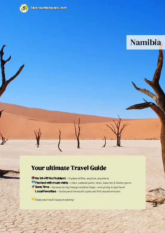
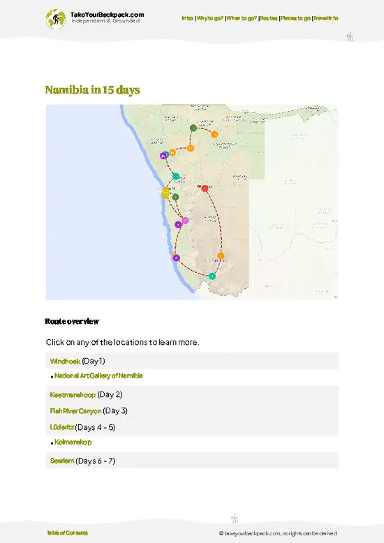
example page 0 from our offline Travel Guide for Namibia
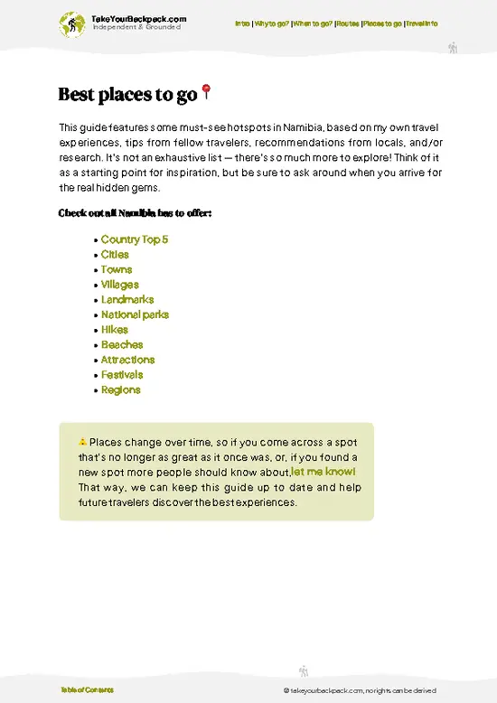
example page 1 from our offline Travel Guide for Namibia
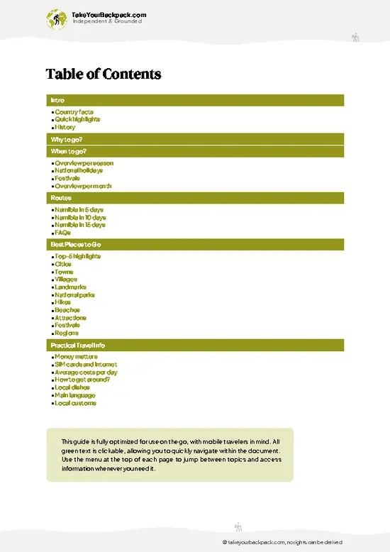
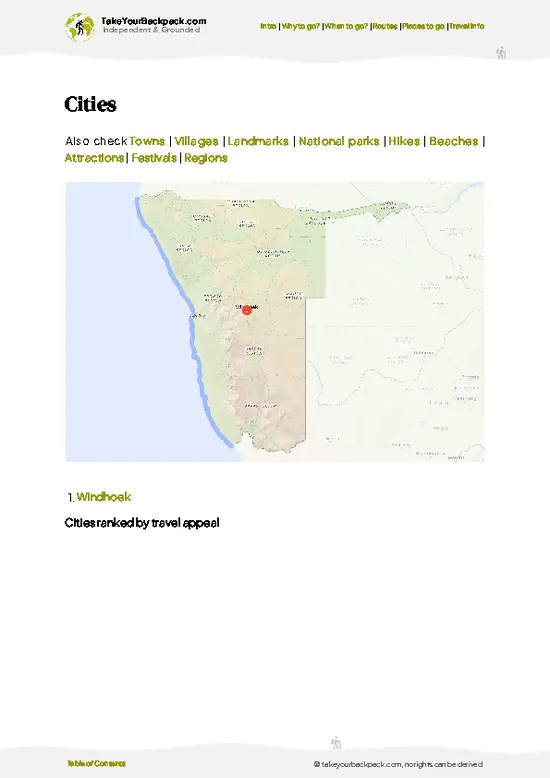
example page 2 from our offline Travel Guide for Namibia
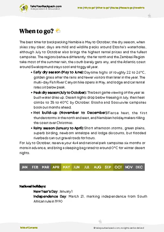
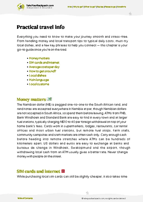
example page 3 from our offline Travel Guide for Namibia
example page 4 from our offline Travel Guide for Namibia
example page 5 from our offline Travel Guide for Namibia
example page 6 from our offline Travel Guide for Namibia
example page 7 from our offline Travel Guide for Namibia
Loading the map 🌍
CLICK TO FILTER
cities
towns
villages
landmarks
national parks
hikes
beaches
attractions
festivals
regions
SHOW COUNTRY’S BESTSHOW ALL

✨ Why go?
Ranked #5 hike in Namibia
Reasons people choose to hike the here

Spitzkoppe gives backpackers a rare thing in Namibia: a wild camping base where a pitch sits directly under a granite wall, for a fee far below any lodge. The scrambling is free-form, so you choose between a 1-hour wander to the Bridge or a full day circling the Pontok Mountains, with no guide required and no set distance. It also fits neatly on a coastal route, since Swakopmund and the Erongo hills are a short hop apart. The nights are the real draw: with no town for kilometers, the Milky Way brightens above the domes, and you can lie on warm rock listening to nothing but wind and the odd rustle of a rock hyrax. Most people stay one night, yet a second lets you walk the Bushman’s Paradise route at a sane pace and still catch the changing color of the rock at both ends of the day.

💡 HighlightsMust-see experiences and standout moments

  1. Spitzkoppe Peak: The 1,728 meter summit, often called the Matterhorn of Africa, dominates the skyline. Its horn-shaped profile is visible from the highway long before you arrive, and climbing it is a technical route for experienced climbers only.
  2. The Rock Arch (Bridge): A natural granite span between two outcrops, reached by an easy scramble. Photographers frame the sunset glow through it, and the surrounding slabs make good seats for a quiet evening.
  3. Bushman’s Paradise: A short but steep route up to a sheltered rock overhang with faded San paintings of figures and animals. A chain helps on one slippery section, and a cable-free scramble leads to the shelter.
  4. Pontok Mountains: A cluster of smaller domes and boulder fields around the campsite. Walking among them at your own pace gives shifting
… read more 👉
  1. Spitzkoppe Peak: The 1,728 meter summit, often called the Matterhorn of Africa, dominates the skyline. Its horn-shaped profile is visible from the highway long before you arrive, and climbing it is a technical route for experienced climbers only.
  2. The Rock Arch (Bridge): A natural granite span between two outcrops, reached by an easy scramble. Photographers frame the sunset glow through it, and the surrounding slabs make good seats for a quiet evening.
  3. Bushman’s Paradise: A short but steep route up to a sheltered rock overhang with faded San paintings of figures and animals. A chain helps on one slippery section, and a cable-free scramble leads to the shelter.
  4. Pontok Mountains: A cluster of smaller domes and boulder fields around the campsite. Walking among them at your own pace gives shifting views and shaded gaps where lizards bask on warm stone.
  5. Campsite Night Sky: The campsites, some squeezed between giant boulders, offer a dark sky with few light sources for many kilometers. Bring a headlamp, a warm layer and a mat for lying on the rock.
Spitzkoppe charges an entry fee at the gate (around US$10 per adult), and campsites are paid on arrival, so no advance booking is usually needed apart from guided rock-art tours, which are arranged at the office.
Spotted a mistake or missing something? Contact us.

🌤️ When to go?Best time to hike the Spitzkoppe

May to September is the window to pick, with dry, cool weather and the clearest rock-climbing and hiking conditions.
  • Winter (May to September): Days reach 22 to 27°C (72 to 81°F) and nights drop to 5 to 10°C (41 to 50°F), occasionally near freezing. Rain is almost absent, daylight runs roughly 11 hours, and the campsite fills on weekends and school holidays.
  • Summer (November to March): Midday rock surfaces are brutal, with highs of 33 to 38°C (91 to 100°F). Thunderstorms arrive in January to March, sometimes turning sandy tracks soft, but crowds thin and lodging is easier to book. Daylight stretches to about 13.5 hours.
  • Shoulder months (April and October): Highs of 28 to 33°C (82 to 91°F), few visitors and warm nights make for comfortable camping under the stars.
  • Prices: Campsite and entry fees
… read more 👉
May to September is the window to pick, with dry, cool weather and the clearest rock-climbing and hiking conditions.
  • Winter (May to September): Days reach 22 to 27°C (72 to 81°F) and nights drop to 5 to 10°C (41 to 50°F), occasionally near freezing. Rain is almost absent, daylight runs roughly 11 hours, and the campsite fills on weekends and school holidays.
  • Summer (November to March): Midday rock surfaces are brutal, with highs of 33 to 38°C (91 to 100°F). Thunderstorms arrive in January to March, sometimes turning sandy tracks soft, but crowds thin and lodging is easier to book. Daylight stretches to about 13.5 hours.
  • Shoulder months (April and October): Highs of 28 to 33°C (82 to 91°F), few visitors and warm nights make for comfortable camping under the stars.
  • Prices: Campsite and entry fees stay the same all year, but nearby guesthouses and car rentals in Windhoek cost more from July to September.
Book a campsite weeks ahead for July and August weekends, and start climbs at first light before the granite heats.


source: climatestotravel.comJANJanuary: fair for travelingFEBFebruary: fair for travelingMARMarch: fair for travelingAPRApril: good for travelingMAYMay: highly recommended for travelingJUNJune: excellent for travelingJULJuly: excellent for travelingAUGAugust: excellent for travelingSEPSeptember: highly recommended for travelingOCTOctober: highly recommended for travelingNOVNovember: fair for travelingDECDecember: fair for traveling
when-to-go

✈️ The backpacker research shortcutNamibia Travel Guide

An offline-friendly backpacking guide with optimized travel routes, ranked highlights, transport advice, and the best areas to stay.
example page 0 from our offline Travel Guide for Namibia
example page 1 from our offline Travel Guide for Namibia
example page 2 from our offline Travel Guide for Namibia
example page 3 from our offline Travel Guide for Namibia
example page 4 from our offline Travel Guide for Namibia
example page 5 from our offline Travel Guide for Namibia
example page 6 from our offline Travel Guide for Namibia
example page 7 from our offline Travel Guide for Namibia
The digital guide (294 pages) contains:
✅ 71 highlights, ranked by travel appeal
✅ Optimized 5, 10 & 15-day travel routes
✅ Cities, national parks, landmarks, beaches
✅ How to get around
✅ Offline-friendly for travel without Wi-Fi
👉 Click to see all 30+ guide features

📅 Plan smarter in minutes, not weeks
✅ Month by month travel advice
✅ Festivals & national holidays
✅ Budget expectations

🗺️ Go to the right places, skip the overrated ones
✅ Honest pros & cons of destinations
✅ Top hikes, parks & viewpoints
✅ Lesser-known places most travelers miss
✅ Clear “worth it vs skip it” guidance

🛏️ Travel smoothly without rookie mistakes
✅ Best areas to stay
✅ Transport systems explained simply
✅ Common scams & safety advice
✅ SIM cards, money & practical tips

🌍 Understand the country, not just visit it
✅ Culture & traditions
✅ 52 Essential phrases & customs
✅ Festivals worth planning around
✅ Traveler-friendly historical context
✅ Insights that make places more meaningful

📱 Built for real travel conditions
✅ Fully downloadable PDF
✅ Works completely offline
✅ Optimized for phone use
✅ Useful in remote areas & buses
✅ Everything in one place
Stop searching, start planning
Get instant access to your full guide. 30‑day money-back guarantee.
+ Add another guide for just

By proceeding you agree to our terms.
Sent to your inbox immediately after payment • 100% Secure Checkout
Best Backpacking Travel Advisor 2025 tourism awardBest Backpacking
Travel Advisor
2025
What others say about Take Your Backpack Guides:
⭐⭐⭐⭐⭐
Fantastic, amazing amount of information!
⭐⭐⭐⭐⭐
My goodness this is amazing, it's what I've been looking for hats off too you!
⭐⭐⭐⭐⭐
I think this is absolutely BRILLIANT
⭐⭐⭐⭐
Very complete and informative. It's still missing places, but I gotta to commend you
⭐⭐⭐⭐⭐
This is truly amazing, thank you, can't wait to explore it with my kids!
⭐⭐⭐⭐⭐
Awesome resource, thank you!
⭐⭐⭐⭐⭐
This is amazing! Can't wait to explore the ones I haven't seen
⭐⭐⭐⭐
I love this! Well done, great idea.
⭐⭐⭐⭐⭐
Thanks for taking the time to make this gem!
⭐⭐⭐⭐⭐
This might be the best website I've ever seen.
⭐⭐⭐⭐⭐
Congratulations, and thank you so much for your work; it's incredibly valuable.
⭐⭐⭐⭐
In all seriousness I think you did a great job pointing out the important spots
⭐⭐⭐⭐⭐
10/10 very good
⭐⭐⭐⭐⭐
As someone who's only just starting to visit regularly this is awesome, thank you.
⭐⭐⭐⭐
Thank you very much! I'm going to visit my dad, it's going to be very useful!
⭐⭐⭐⭐⭐
This is really cool! We'll be travelling for the first time and this definitely come in handy.
⭐⭐⭐⭐⭐
You are now our minister of culture, congratulations 👨‍💼
⭐⭐⭐⭐⭐
Just wanted to tell you that this is a pearl! Going to follow your recommendations.
⭐⭐⭐⭐⭐
This is so cool. I'll definitely be using the resource for my travels soon.
⭐⭐⭐⭐⭐
This is very impressive! Good work.
⭐⭐⭐⭐⭐
This is an amazing and informative site. Very well done!

🛏️ Where to stay?Best areas and accommodation options

If you enjoy meeting fellow travelers, consider choosing hostels with high ratings for atmosphere. On the other hand, if you prefer having your own space, a hotel might be a better option.

🥾 Hike detailsTrail overview: what to expect on the hike

Total Distance: Spitzkoppe has no single set route. Typical loops run 5 to 12 kilometers, depending on whether you tackle the Bridge, Bushman’s Paradise or a round of the Pontok area.
Estimated Duration: 2 to 6 hours for a loop, or a full day with long breaks.
Difficulty: Moderate. Paths are unmarked, with steep granite slabs, loose gravel and some chain-assisted scrambling. Footing is grippy when dry but treacherous on sand-dusted rock.
Starting Point: The gate and campsite office off the gravel road from Usakos. No scheduled public transport reaches it, so most backpackers hitch from the main highway
… read more 👉
Total Distance: Spitzkoppe has no single set route. Typical loops run 5 to 12 kilometers, depending on whether you tackle the Bridge, Bushman’s Paradise or a round of the Pontok area.
Estimated Duration: 2 to 6 hours for a loop, or a full day with long breaks.
Difficulty: Moderate. Paths are unmarked, with steep granite slabs, loose gravel and some chain-assisted scrambling. Footing is grippy when dry but treacherous on sand-dusted rock.
Starting Point: The gate and campsite office off the gravel road from Usakos. No scheduled public transport reaches it, so most backpackers hitch from the main highway turnoff, join a shuttle from Swakopmund or Usakos, or rent a car.
Major Landmarks:
  • The Bridge: A natural rock arch with wide views over the plains.
  • Bushman’s Paradise: An overhang with San rock paintings.
  • Pontok Mountains: Domes and boulder fields near the campsites.
Terrain and Scenery: Bare orange-brown granite, smooth slabs and wide gravel plains stretching to the horizon. Rock color deepens toward evening.
Vegetation: Sparse desert scrub, quiver trees in places, and tough grasses after rain.
Wildlife: Rock hyraxes, lizards, klipspringer and occasional baboons. Birdlife includes the rockrunner and raptors. Carry all water, a hat and sturdy shoes.
⚠️ Hiking info can sometimes be outdated or inaccurate. Before you hit the trail, check the latest conditions with locals. If you do spot anything that's off, I'd love to hear from you, so I can update it for fellow travelers.

🛡️ SafetyScams, Hazards, and Annoyances

Spitzkoppe is a low-risk hike, but heat and bare granite deserve respect. Summer rock surfaces can burn hands and soles, and there is almost no shade, so carry at least 3 to 4 liters of water per person per day and start early. Most routes are unmarked, so follow the painted arrows or hire a community guide at the gate, especially for the Pontok area and the Bridge. Slabs are slippery with loose sand, so wear shoes with real grip and take your time on descents. Scrambles near the Bridge involve exposure, so skip them in wet or windy conditions. Wildlife is minimal: expect rock hyraxes, the odd snake or scorpion, so watch where you place hands and feet. Cell signal is patchy, so tell someone your route, and fill up on fuel before the gravel drive in.

FAQCommon questions from travelers

Most visitors spend one to two days at Spitzkoppe, with individual hikes lasting 1 to 5 hours. The Bridge and Golden Snake loop takes about 2 to 3 hours, while the full circuit around the Pontok mountains can fill 5 to 6 hours. Staying overnight at the campsite lets you catch both sunrise and sunset on the rocks.
Spitzkoppe is easy to moderate for most hikers, though the terrain is exposed and unshaded. Short walks to the Bridge or the rock paintings at Bushman’s Paradise involve gentle scrambling over granite, while summiting the Gross Spitzkoppe at 1,728 meters requires technical climbing skills and equipment. Plan around heat, since summer temperatures can exceed 35°C (95°F).
No permit is needed, but you pay a community entry fee at the gate, roughly US$5 to 8 per person plus a small vehicle fee, with campsites around US$12 to 18 per person. A guide is optional for most trails, though a local guide costs about US$10 to 25 and is required to visit Bushman’s Paradise rock paintings. Summiting Gross Spitzkoppe requires climbing experience and is normally done with experienced climbers or a specialist operator.
⚠️ Things can change over time, so always validate details locally before you go.

Other Namibian hikes near Spitzkoppe

Explore more nearby:

  • Olive Trail—Self-guided loop, quiver trees, granite boulders, hyrax rocks| 291 km away
  • Naukluft 4x4 Trail—off-road route, rugged terrain, vehicle-based, remote campsites| 292 km away
  • Namib Naukluft Trail—Eight-day hut circuit, dolomite plateau, tufa pools, chain sections| 292 km away

💡 Not sure where to go next?
Create a personalized itinerary for Namibia including Spitzkoppe and the places that fit your trip.

Generate my itinerary

👉 Discover all hikes

Or checkout all Namibia has to offer (think cities, towns, villages, national parks, hikes, beaches, festivals)
Country photo of Namibia

We 💚 feedbackIs it worth it?

Spitzkoppe hides its best trick in the details: the granite walls near the campsites hold heat well after dark, so a pitch beside a boulder is noticeably warmer than one in the open. I would pick a spot against the rock, bring a sleeping bag rated for a cold desert night, and walk to the Bridge before breakfast.

✍️ Help improve this page!
The information on this page is based on in-depth research, insights shared by experienced travelers, and feedback from the local travel community in Namibia. While every effort is made to keep the information accurate and current, conditions can change — so if you spot anything incorrect or outdated, please get in touch.


🙋‍♂️ Give feedback

👋 Meet the founderWho’s Behind Take Your Backpack?

Johan, backpacker and founder of TakeYourBackpackHi, I’m Johan (Netherlands 🇳🇱), the creator of TakeYourBackpack. Over the past 3 decades, I’ve backpacked through 90+ countries across six continents, gaining extensive experience with independent travel, long-term trips, and overland routes.

This site is built on a combination of firsthand travel experience and carefully curated insights from other backpackers. Many guides are based on places I’ve personally visited, while others bring together tips, observations, and practical advice shared by trusted travelers I’ve met along the way.

The goal is to provide realistic, experience-driven guidance — not generic itineraries — so you can explore destinations with better context, clearer expectations, and more confidence.