
×

Solomon Islands🇸🇧 | hikesMataniko FallsLimestone cave pool, rope and ladder descent, thigh-deep river wading, red clay | things to do and best time to go

Explore Wogasia Spear Fighting FestivalExplore Mount Popomanaseu

Backpacking in Mataniko Falls
🌟 Highlighthike ranked #2
By Johan Kruseman 🇳🇱 | Updated October 7, 2026

Your sandals sink into red mud, a rope bites your palms, and the roar ahead is louder than the cicadas. That is Mataniko Falls on a typical wet-footed morning. It sits in the hills south of central Honiara, in Solomon Islands’s capital region on Guadalcanal. The reward is a long white column of water dropping into a limestone cave, with a pool you can swim in. The hard parts are slick clay, several river crossings and steep ladder sections. Wear shoes with grip, since flip-flops fail on the descent. Go with a local guide and pay the community access fee in cash, because there are no ATMs near the trailhead. Start early, as afternoon rain turns the river brown and can stall the walk. Minibuses reach the area, but the last stretch needs a short taxi or a guide’s help. A good first day is a morning trek, a long swim, then a late lunch back in town.

Discover everything you want to know in the 📖 Solomon Islands Travel Guide.
Best time to go: May - October
Duration: 4 hours
Distance: 6 kilometers
Total ascent: 250 meters


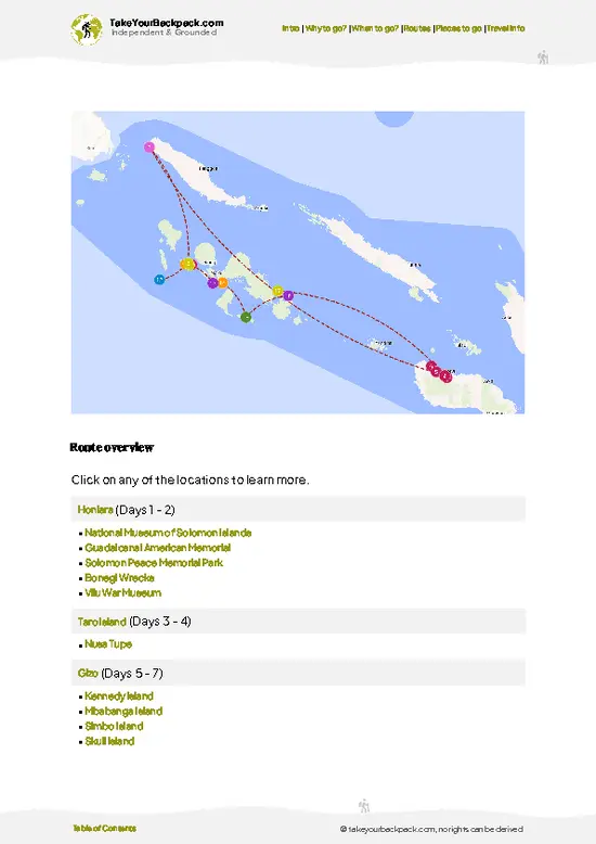
example page 0 from our offline Travel Guide for Solomon Islands
example page 1 from our offline Travel Guide for Solomon Islands
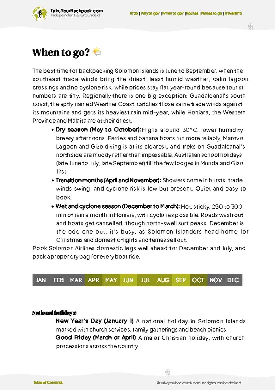
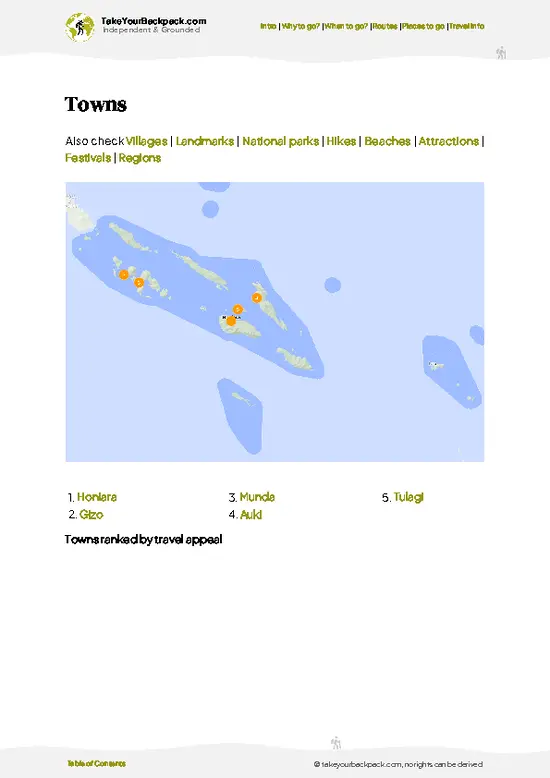
example page 2 from our offline Travel Guide for Solomon Islands
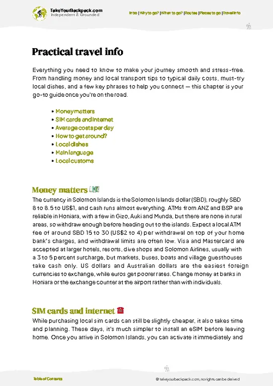
example page 3 from our offline Travel Guide for Solomon Islands
example page 4 from our offline Travel Guide for Solomon Islands
example page 5 from our offline Travel Guide for Solomon Islands
example page 6 from our offline Travel Guide for Solomon Islands
example page 7 from our offline Travel Guide for Solomon Islands
Loading the map 🌍
CLICK TO FILTER
towns
villages
landmarks
national parks
hikes
beaches
attractions
festivals
regions
SHOW COUNTRY’S BESTSHOW ALL

✨ Why go?
Ranked #2 hike in Solomon Islands
Reasons people choose to hike the here

Backpackers come for the contrast. You leave the dust and traffic of Honiara and, within a short ride, you are in village gardens and rainforest on the Mataniko River. Few places in the capital region give you a real jungle walk with a payoff this big. The falls drop into a cave, and the limestone cavern and plunge pool are the part people talk about afterward. They are a different shape from the usual open cascade, so photos look unlike any you have seen.

It also works well for a long Solomons itinerary. It fits in half a day, so you can pair it with the markets, WWII sites and museums around town without spending a night away. Walking with a local guide also puts you in touch with the landowners who look after the path, which matters if you want to spend money where it reaches residents. … read more 👉
Backpackers come for the contrast. You leave the dust and traffic of Honiara and, within a short ride, you are in village gardens and rainforest on the Mataniko River. Few places in the capital region give you a real jungle walk with a payoff this big. The falls drop into a cave, and the limestone cavern and plunge pool are the part people talk about afterward. They are a different shape from the usual open cascade, so photos look unlike any you have seen.

It also works well for a long Solomons itinerary. It fits in half a day, so you can pair it with the markets, WWII sites and museums around town without spending a night away. Walking with a local guide also puts you in touch with the landowners who look after the path, which matters if you want to spend money where it reaches residents. Expect to get dirty and wet. For a reasonable fitness level and a morning of free time, it is the best-value outing in the capital.

💡 HighlightsEssential experiences to have while hiking the Mataniko Falls

  1. Mataniko Falls and the cave pool: The main attraction is a tall curtain of water pouring into a limestone chamber, with a deep green pool at the base. Swimming here, with spray filling the air and light falling through the cave mouth, is the moment the whole walk builds toward.
  2. The ladder and rope descent: Near the end, the trail drops steeply to the river on wooden steps, ropes and muddy ledges. It is short but slippery, and it gives the hike its adventure feel. Good grip makes this easy; poor shoes make it a slog.
  3. Mataniko River crossings: You wade across the river several times, often thigh-deep after rain. The rocks are smooth, the water is cool and clear in dry spells, and each crossing opens a new view of the gorge walls.
  4. Rainforest and jungle sounds: The path runs through dense forest
… read more 👉
  1. Mataniko Falls and the cave pool: The main attraction is a tall curtain of water pouring into a limestone chamber, with a deep green pool at the base. Swimming here, with spray filling the air and light falling through the cave mouth, is the moment the whole walk builds toward.
  2. The ladder and rope descent: Near the end, the trail drops steeply to the river on wooden steps, ropes and muddy ledges. It is short but slippery, and it gives the hike its adventure feel. Good grip makes this easy; poor shoes make it a slog.
  3. Mataniko River crossings: You wade across the river several times, often thigh-deep after rain. The rocks are smooth, the water is cool and clear in dry spells, and each crossing opens a new view of the gorge walls.
  4. Rainforest and jungle sounds: The path runs through dense forest with giant ferns, vines and tall trees. Listen for parrots, hornbill-like wingbeats and hum from insects. Butterflies gather on damp patches along the trail.
  5. Village gardens on the approach: Before the forest begins, you pass family plots with banana, taro and betel nut. A guide from the community can name crops and explain land use, which adds local context before the falls.
Most visitors rush past the village gardens, yet they are the best place to see how people around Honiara live and farm.
Spotted a mistake or missing something? Contact us.

Things to do near Mataniko Falls

Ratings based on Tripadvisor reviews. When you book through this link, you support our work at no extra cost to you.

🌤️ When to go?Choosing the right time of year

  • Dry Season (May to October): Trade winds keep Honiara around 24 to 30°C (75 to 86°F), and the clay track and river crossings are at their most manageable. Sunrise is near 6:15 am and sunset near 6:00 pm, so start early to finish in daylight.
  • Wet Season (November to April): Expect 25 to 32°C (77 to 90°F), heavy afternoon downpours and sticky humidity. The Mataniko River rises fast, the track turns to slick mud, and the falls roar brown and loud. Cyclone swells are possible from January to March.
  • Crowds: Visitor numbers are low all year, and the track sees mostly local families and a few cruise or expedition groups on weekdays. Saturdays draw more locals.
  • Prices: Community entry fees and guide rates stay steady year-round. Flights and Honiara guesthouses tighten around Independence Day on July
… read more 👉
  • Dry Season (May to October): Trade winds keep Honiara around 24 to 30°C (75 to 86°F), and the clay track and river crossings are at their most manageable. Sunrise is near 6:15 am and sunset near 6:00 pm, so start early to finish in daylight.
  • Wet Season (November to April): Expect 25 to 32°C (77 to 90°F), heavy afternoon downpours and sticky humidity. The Mataniko River rises fast, the track turns to slick mud, and the falls roar brown and loud. Cyclone swells are possible from January to March.
  • Crowds: Visitor numbers are low all year, and the track sees mostly local families and a few cruise or expedition groups on weekdays. Saturdays draw more locals.
  • Prices: Community entry fees and guide rates stay steady year-round. Flights and Honiara guesthouses tighten around Independence Day on July 7, so book ahead then.
Go in the dry season, set out by 8 am, and skip the day after any heavy overnight rain.


source: climatestotravel.comJANJanuary: fair for travelingFEBFebruary: fair for travelingMARMarch: fair for travelingAPRApril: fair for travelingMAYMay: highly recommended for travelingJUNJune: excellent for travelingJULJuly: excellent for travelingAUGAugust: excellent for travelingSEPSeptember: excellent for travelingOCTOctober: highly recommended for travelingNOVNovember: fair for travelingDECDecember: fair for traveling
solomon-islands-hike-mataniko-falls
© Google | Joel Rooskov

✈️ The backpacker research shortcutSolomon Islands Travel Guide

An offline-friendly backpacking guide with optimized travel routes, ranked highlights, transport advice, and the best areas to stay.
example page 0 from our offline Travel Guide for Solomon Islands
example page 1 from our offline Travel Guide for Solomon Islands
example page 2 from our offline Travel Guide for Solomon Islands
example page 3 from our offline Travel Guide for Solomon Islands
example page 4 from our offline Travel Guide for Solomon Islands
example page 5 from our offline Travel Guide for Solomon Islands
example page 6 from our offline Travel Guide for Solomon Islands
example page 7 from our offline Travel Guide for Solomon Islands
The digital guide (145 pages) contains:
✅ 33 highlights, ranked by travel appeal
✅ Optimized 5, 10 & 15-day travel routes
✅ Cities, national parks, landmarks, beaches
✅ How to get around
✅ Offline-friendly for travel without Wi-Fi
👉 Click to see all 30+ guide features

📅 Plan smarter in minutes, not weeks
✅ Month by month travel advice
✅ Festivals & national holidays
✅ Budget expectations

🗺️ Go to the right places, skip the overrated ones
✅ Honest pros & cons of destinations
✅ Top hikes, parks & viewpoints
✅ Lesser-known places most travelers miss
✅ Clear “worth it vs skip it” guidance

🛏️ Travel smoothly without rookie mistakes
✅ Best areas to stay
✅ Transport systems explained simply
✅ Common scams & safety advice
✅ SIM cards, money & practical tips

🌍 Understand the country, not just visit it
✅ Culture & traditions
✅ 52 Essential phrases & customs
✅ Festivals worth planning around
✅ Traveler-friendly historical context
✅ Insights that make places more meaningful

📱 Built for real travel conditions
✅ Fully downloadable PDF
✅ Works completely offline
✅ Optimized for phone use
✅ Useful in remote areas & buses
✅ Everything in one place
Stop searching, start planning
Get instant access to your full guide. 30‑day money-back guarantee.
+ Add another guide for just

By proceeding you agree to our terms.
Sent to your inbox immediately after payment • 100% Secure Checkout
Best Backpacking Travel Advisor 2025 tourism awardBest Backpacking
Travel Advisor
2025
What others say about Take Your Backpack Guides:
⭐⭐⭐⭐⭐
Fantastic, amazing amount of information!
⭐⭐⭐⭐⭐
My goodness this is amazing, it's what I've been looking for hats off too you!
⭐⭐⭐⭐⭐
I think this is absolutely BRILLIANT
⭐⭐⭐⭐
Very complete and informative. It's still missing places, but I gotta to commend you
⭐⭐⭐⭐⭐
This is truly amazing, thank you, can't wait to explore it with my kids!
⭐⭐⭐⭐⭐
Awesome resource, thank you!
⭐⭐⭐⭐⭐
This is amazing! Can't wait to explore the ones I haven't seen
⭐⭐⭐⭐
I love this! Well done, great idea.
⭐⭐⭐⭐⭐
Thanks for taking the time to make this gem!
⭐⭐⭐⭐⭐
This might be the best website I've ever seen.
⭐⭐⭐⭐⭐
Congratulations, and thank you so much for your work; it's incredibly valuable.
⭐⭐⭐⭐
In all seriousness I think you did a great job pointing out the important spots
⭐⭐⭐⭐⭐
10/10 very good
⭐⭐⭐⭐⭐
As someone who's only just starting to visit regularly this is awesome, thank you.
⭐⭐⭐⭐
Thank you very much! I'm going to visit my dad, it's going to be very useful!
⭐⭐⭐⭐⭐
This is really cool! We'll be travelling for the first time and this definitely come in handy.
⭐⭐⭐⭐⭐
You are now our minister of culture, congratulations 👨‍💼
⭐⭐⭐⭐⭐
Just wanted to tell you that this is a pearl! Going to follow your recommendations.
⭐⭐⭐⭐⭐
This is so cool. I'll definitely be using the resource for my travels soon.
⭐⭐⭐⭐⭐
This is very impressive! Good work.
⭐⭐⭐⭐⭐
This is an amazing and informative site. Very well done!

🛏️ Where to stay?Best areas and accommodation options

If you enjoy meeting fellow travelers, consider choosing hostels with high ratings for atmosphere. On the other hand, if you prefer having your own space, a hotel might be a better option.

🥾 Hike detailsA practical overview of the hike

Total Distance: Roughly 6 kilometers round trip, depending on the trailhead used.
Estimated Duration: About 3 to 4 hours return, plus time for swimming and photos.
Difficulty: Moderate. The distance is short, but mud, slippery rock, river wading and steep ladders need steady footing.
Starting Point: A village trailhead south of central Honiara. Local minibuses run toward the area from town, and a taxi or guide’s vehicle covers the last stretch. Entry is through the landowners, who arrange guides and collect a fee in cash.
Major Landmarks:
  • Village gardens: The first section crosses cultivated plots
… read more 👉
Total Distance: Roughly 6 kilometers round trip, depending on the trailhead used.
Estimated Duration: About 3 to 4 hours return, plus time for swimming and photos.
Difficulty: Moderate. The distance is short, but mud, slippery rock, river wading and steep ladders need steady footing.
Starting Point: A village trailhead south of central Honiara. Local minibuses run toward the area from town, and a taxi or guide’s vehicle covers the last stretch. Entry is through the landowners, who arrange guides and collect a fee in cash.
Major Landmarks:
  • Village gardens: The first section crosses cultivated plots and houses.
  • River crossings: Several wading points along the Mataniko River.
  • Descent section: Steep steps, ropes and ladders down to the gorge floor.
  • The falls: A tall waterfall dropping into a cave and pool.
Terrain and Scenery: Red clay paths, boulders, wet rock and a limestone gorge. After rain the river rises and turns brown, so dry mornings are the safest.
Vegetation: Tropical lowland rainforest with ferns, vines, large trees and garden crops such as banana, taro and betel nut near the village.
Wildlife: Tropical birds, butterflies, insects and small freshwater life in the river. Sightings of larger animals are rare.
Practical Notes: Wear shoes with grip, carry water and a dry bag for your phone, and take cash for the fee. Start early to avoid afternoon storms.
⚠️ Hiking info can sometimes be outdated or inaccurate. Before you hit the trail, check the latest conditions with locals. If you do spot anything that's off, I'd love to hear from you, so I can update it for fellow travelers.

🛡️ SafetyTraveler Safety Guide

The main hazards at Mataniko Falls are slippery ground and a rising river, not wildlife. The track from the Honiara side drops steeply through jungle and clay, which turns greasy after rain, so wear shoes with real tread (not flip-flops) and take your time on the descents. The route includes several wading crossings and a stretch through a narrow cave passage near the falls, where a headlamp helps and rocks underfoot are slick. Never cross when the water is brown, fast or climbing. A storm upstream can lift the river within an hour even under blue sky. Local guides know the safest crossings and the swimming spots, and following their line is sensible. Carry at least 2 liters of water, insect repellent against mosquitoes, and a dry bag for your phone. Leave valuables at your lodging, as petty … read more 👉
The main hazards at Mataniko Falls are slippery ground and a rising river, not wildlife. The track from the Honiara side drops steeply through jungle and clay, which turns greasy after rain, so wear shoes with real tread (not flip-flops) and take your time on the descents. The route includes several wading crossings and a stretch through a narrow cave passage near the falls, where a headlamp helps and rocks underfoot are slick. Never cross when the water is brown, fast or climbing. A storm upstream can lift the river within an hour even under blue sky. Local guides know the safest crossings and the swimming spots, and following their line is sensible. Carry at least 2 liters of water, insect repellent against mosquitoes, and a dry bag for your phone. Leave valuables at your lodging, as petty theft can occur around Honiara. Pay the landowner fee respectfully, and ask before taking photos of people or sacred sites.

FAQCommon questions from travelers

Allow 3 to 5 hours for the round trip, including time at the falls. The track starts in the hills above Honiara and drops roughly 3 to 4 kilometers each way, and the climb back out takes longer than the descent. Add another hour if you want to swim and walk into the cave area.
Moderate, mainly because of the heat and the slippery clay descents. There is no technical climbing, but you wade through the Mataniko River several times and face a steep, sweaty climb back up. Reasonably fit hikers manage it fine, and wet-season mud makes it noticeably harder.
A local guide is strongly recommended, and a landowner or community fee is expected, usually somewhere around SBD 50 to 150 (about US$6 to 18) per person. Guides from the nearby villages know which crossings are safe after rain, and they handle the access arrangements. Your Honiara guesthouse or a local tour operator can arrange a guide and transport for roughly US$20 to 40 in total.
⚠️ Things can change over time, so always validate details locally before you go.

Other Solomon Islander hikes near Mataniko Falls

Explore more nearby:

  • Tenaru Falls—Half-day outing from Honiara, taro gardens, river crossings, green plunge pool| 10 km away
  • Mount Popomanaseu—Country's highest summit, 2,335 meters, moss-draped cloud forest, village-hosted trek| 31 km away

💡 Not sure where to go next?
Create a personalized itinerary for Solomon Islands including Mataniko Falls and the places that fit your trip.

Generate my itinerary

👉 Discover all hikes

Or checkout all Solomon Islands has to offer (think cities, towns, villages, national parks, hikes, beaches, festivals)
Country photo of Solomon Islands

We 💚 feedbackSumming up the experience

Look up when you reach the cave. The sunlight pouring through the opening turns the spray gold for a few minutes around midday, and most people are too busy swimming to notice. I would bring a dry bag and a small tip for your guide, then stay long enough to float on your back and watch it happen.

✍️ Help improve this page!
The information on this page is based on in-depth research, insights shared by experienced travelers, and feedback from the local travel community in Solomon Islands. While every effort is made to keep the information accurate and current, conditions can change — so if you spot anything incorrect or outdated, please get in touch.


🙋‍♂️ Give feedback

👋 Meet the founderWho’s Behind Take Your Backpack?

Johan, backpacker and founder of TakeYourBackpackHi, I’m Johan (Netherlands 🇳🇱), the creator of TakeYourBackpack. Over the past 3 decades, I’ve backpacked through 90+ countries across six continents, gaining extensive experience with independent travel, long-term trips, and overland routes.

This site is built on a combination of firsthand travel experience and carefully curated insights from other backpackers. Many guides are based on places I’ve personally visited, while others bring together tips, observations, and practical advice shared by trusted travelers I’ve met along the way.

The goal is to provide realistic, experience-driven guidance — not generic itineraries — so you can explore destinations with better context, clearer expectations, and more confidence.