
×

United States Virgin Islands🇻🇮 | hikesAnnaberg Plantation TrailSugar mill ruins, Leinster Bay views, dry-forest scrub, plantation history | things to do and best time to go

Explore St. John FestivalExplore Cinnamon Bay Trail

Backpacking in Annaberg Plantation Trail
👌 Worth visitinghike ranked #4
By Johan Kruseman 🇳🇱 | Updated October 22, 2026

Annaberg sits inside Virgin Islands National Park, and the trail network that starts at its parking lot is free to walk, while the national park entry fee applies only at certain beach areas. The site is on the north shore of St. John, in the United States Virgin Islands, about 20 minutes by road east of Cruz Bay. The Annaberg Trail is a loop of roughly 0.3 miles through the sugar mill ruins, easy and mostly flat, with views across Leinster Bay to Tortola. Add the Leinster Bay Trail to Waterlemon Cay and you get a gentle coastal walk of a few miles. Public transport is limited: the VITRAN safari bus does not reach the site directly, so most people take a taxi or rent a Jeep. The history is heavy, the shade is thin, and the walk is short. It suits history-minded hikers and snorkelers most. Anyone wanting a real mountain trek will be left wanting more.

Discover everything you want to know in the 📖 United States Virgin Islands Travel Guide.
Best time to go: December - April
Duration: 3 hours
Distance: 3 kilometers
Total ascent: 60 meters


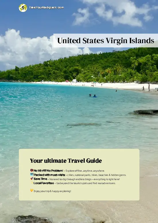
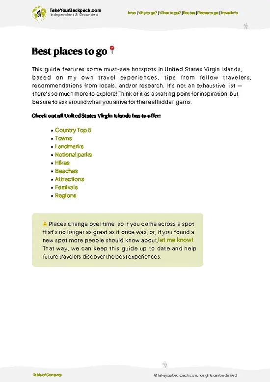
example page 0 from our offline Travel Guide for United States Virgin Islands
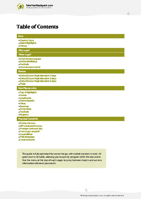
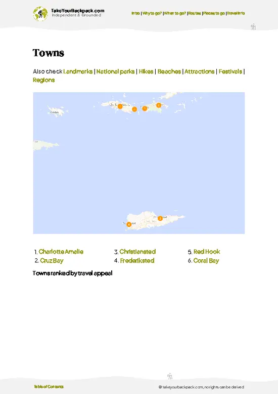
example page 1 from our offline Travel Guide for United States Virgin Islands
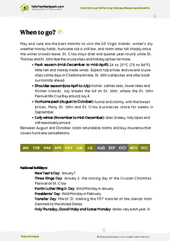
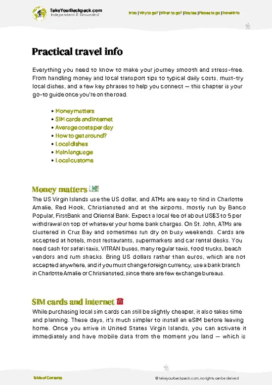
example page 2 from our offline Travel Guide for United States Virgin Islands
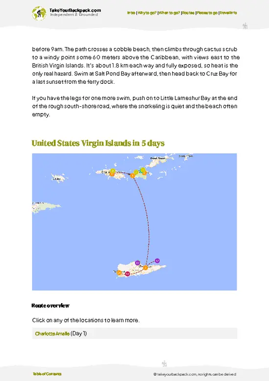
example page 3 from our offline Travel Guide for United States Virgin Islands
example page 4 from our offline Travel Guide for United States Virgin Islands
example page 5 from our offline Travel Guide for United States Virgin Islands
example page 6 from our offline Travel Guide for United States Virgin Islands
example page 7 from our offline Travel Guide for United States Virgin Islands
Loading the map 🌍
CLICK TO FILTER
towns
landmarks
national parks
hikes
beaches
attractions
festivals
regions
SHOW COUNTRY’S BESTSHOW ALL

✨ Why go?
Ranked #4 hike in United States Virgin Islands
What makes this hike worth hiking

Annaberg Plantation Trail is where backpackers on St. John pair a clear-eyed look at the island’s slavery and sugar history with a flat walk to some of the best snorkeling in the park. The ruins hold a windmill tower, a horse mill, a boiling bench and the remains of the enslaved workers’ village, and the signs explain the 1733 slave rebellion on the island in plain terms. That context changes how the rest of the island looks.

From the ruins, the Leinster Bay Trail to Waterlemon Cay follows the shoreline for about 0.8 miles one way, so you can stop after the ruins or keep going and swim. Distances flex easily to fit a morning, and the trail costs nothing beyond getting there. If you are working around St. John on a longer route through the park, it sits comfortably beside the Johnny Horn Trail, … read more 👉
Annaberg Plantation Trail is where backpackers on St. John pair a clear-eyed look at the island’s slavery and sugar history with a flat walk to some of the best snorkeling in the park. The ruins hold a windmill tower, a horse mill, a boiling bench and the remains of the enslaved workers’ village, and the signs explain the 1733 slave rebellion on the island in plain terms. That context changes how the rest of the island looks.

From the ruins, the Leinster Bay Trail to Waterlemon Cay follows the shoreline for about 0.8 miles one way, so you can stop after the ruins or keep going and swim. Distances flex easily to fit a morning, and the trail costs nothing beyond getting there. If you are working around St. John on a longer route through the park, it sits comfortably beside the Johnny Horn Trail, which climbs to the ridge and drops down to the Leinster Bay road.

💡 HighlightsMust-see experiences and standout moments

  1. Annaberg Sugar Mill Ruins: The main draw is the stone windmill tower, the horse mill, and the boiling bench where cane juice was processed. Interpretive panels explain how the operation worked and who did the labor.
  2. Enslaved Workers’ Quarters: The foundations of the village rows sit below the mill complex. They give the site its weight, and the signs describe the 1733 uprising on St. John.
  3. Leinster Bay Views: From the ridge by the windmill you look over the bay toward Tortola and Great Thatch Island in the British Virgin Islands. The trade-wind breeze here is the best cooling on the whole walk.
  4. Leinster Bay Trail: This flat shoreline path runs about 0.8 miles one way, past a few small beaches and through dry scrub of acacia, cactus and sea grape. Expect little shade and bring water.
  5. Waterlemon
… read more 👉
  1. Annaberg Sugar Mill Ruins: The main draw is the stone windmill tower, the horse mill, and the boiling bench where cane juice was processed. Interpretive panels explain how the operation worked and who did the labor.
  2. Enslaved Workers’ Quarters: The foundations of the village rows sit below the mill complex. They give the site its weight, and the signs describe the 1733 uprising on St. John.
  3. Leinster Bay Views: From the ridge by the windmill you look over the bay toward Tortola and Great Thatch Island in the British Virgin Islands. The trade-wind breeze here is the best cooling on the whole walk.
  4. Leinster Bay Trail: This flat shoreline path runs about 0.8 miles one way, past a few small beaches and through dry scrub of acacia, cactus and sea grape. Expect little shade and bring water.
  5. Waterlemon Cay: At the end of the trail is a small cay ringed by reef. Snorkelers often see sea turtles, rays and starfish in the shallows, and it is among the better snorkel spots on St. John. Conditions can bring some current, so swim with care.
The Annaberg Plantation Trail ruins and the walk to Waterlemon Cay combine well in one morning, with the history first and the snorkel as the finish.
Spotted a mistake or missing something? Contact us.

Things to do around Annaberg Plantation Trail

Ratings based on Tripadvisor reviews. When you book through this link, you support our work at no extra cost to you.

🌤️ When to go?Weather, crowds, and seasonal trade-offs

  • Winter and Early Spring (December to April): This is the driest, breeziest stretch, with highs around 28 to 30°C (82 to 86°F) and lows near 22°C (72°F). Daylight runs about 11 to 12 hours. Cruise-ship days put the most people on the ruins, and lodging on St. John costs the most.
  • Late Spring (May to June): Heat climbs to 30 to 32°C (86 to 90°F) while showers stay short. Crowds thin and rates ease.
  • Summer (July to October): Hot and humid at 31 to 33°C (88 to 91°F), with afternoon downpours. Hurricane season peaks from August to October. Trails are quiet, though some services close and prices drop sharply.
  • Early Winter (November): Rain tapers off, temperatures settle around 29°C (84°F), and visitor numbers stay modest before the holiday rush.
Start Annaberg Plantation Trail at opening time, since … read more 👉
  • Winter and Early Spring (December to April): This is the driest, breeziest stretch, with highs around 28 to 30°C (82 to 86°F) and lows near 22°C (72°F). Daylight runs about 11 to 12 hours. Cruise-ship days put the most people on the ruins, and lodging on St. John costs the most.
  • Late Spring (May to June): Heat climbs to 30 to 32°C (86 to 90°F) while showers stay short. Crowds thin and rates ease.
  • Summer (July to October): Hot and humid at 31 to 33°C (88 to 91°F), with afternoon downpours. Hurricane season peaks from August to October. Trails are quiet, though some services close and prices drop sharply.
  • Early Winter (November): Rain tapers off, temperatures settle around 29°C (84°F), and visitor numbers stay modest before the holiday rush.
Start Annaberg Plantation Trail at opening time, since mornings stay cooler and the tour buses arrive later.


source: climatestotravel.comJANJanuary: excellent for travelingFEBFebruary: excellent for travelingMARMarch: excellent for travelingAPRApril: excellent for travelingMAYMay: fair for travelingJUNJune: fair for travelingJULJuly: fair for travelingAUGAugust: fair for travelingSEPSeptember: fair for travelingOCTOctober: fair for travelingNOVNovember: fair for travelingDECDecember: excellent for traveling
united-states-virgin-islands-hike-annaberg-plantation-trail
© Google | Nova

✈️ The backpacker research shortcutUnited States Virgin Islands Travel Guide

An offline-friendly backpacking guide with optimized travel routes, ranked highlights, transport advice, and the best areas to stay.
example page 0 from our offline Travel Guide for United States Virgin Islands
example page 1 from our offline Travel Guide for United States Virgin Islands
example page 2 from our offline Travel Guide for United States Virgin Islands
example page 3 from our offline Travel Guide for United States Virgin Islands
example page 4 from our offline Travel Guide for United States Virgin Islands
example page 5 from our offline Travel Guide for United States Virgin Islands
example page 6 from our offline Travel Guide for United States Virgin Islands
example page 7 from our offline Travel Guide for United States Virgin Islands
The digital guide (144 pages) contains:
✅ 35 highlights, ranked by travel appeal
✅ Optimized 2, 3 & 5-day travel routes
✅ Cities, national parks, landmarks, beaches
✅ How to get around
✅ Offline-friendly for travel without Wi-Fi
👉 Click to see all 30+ guide features

📅 Plan smarter in minutes, not weeks
✅ Month by month travel advice
✅ Festivals & national holidays
✅ Budget expectations

🗺️ Go to the right places, skip the overrated ones
✅ Honest pros & cons of destinations
✅ Top hikes, parks & viewpoints
✅ Lesser-known places most travelers miss
✅ Clear “worth it vs skip it” guidance

🛏️ Travel smoothly without rookie mistakes
✅ Best areas to stay
✅ Transport systems explained simply
✅ Common scams & safety advice
✅ SIM cards, money & practical tips

🌍 Understand the country, not just visit it
✅ Culture & traditions
✅ Local customs
✅ Festivals worth planning around
✅ Traveler-friendly historical context
✅ Insights that make places more meaningful

📱 Built for real travel conditions
✅ Fully downloadable PDF
✅ Works completely offline
✅ Optimized for phone use
✅ Useful in remote areas & buses
✅ Everything in one place
Stop searching, start planning
Get instant access to your full guide. 30‑day money-back guarantee.
+ Add another guide for just

By proceeding you agree to our terms.
Sent to your inbox immediately after payment • 100% Secure Checkout
Best Backpacking Travel Advisor 2025 tourism awardBest Backpacking
Travel Advisor
2025
What others say about Take Your Backpack Guides:
⭐⭐⭐⭐⭐
Fantastic, amazing amount of information!
⭐⭐⭐⭐⭐
My goodness this is amazing, it's what I've been looking for hats off too you!
⭐⭐⭐⭐⭐
I think this is absolutely BRILLIANT
⭐⭐⭐⭐
Very complete and informative. It's still missing places, but I gotta to commend you
⭐⭐⭐⭐⭐
This is truly amazing, thank you, can't wait to explore it with my kids!
⭐⭐⭐⭐⭐
Awesome resource, thank you!
⭐⭐⭐⭐⭐
This is amazing! Can't wait to explore the ones I haven't seen
⭐⭐⭐⭐
I love this! Well done, great idea.
⭐⭐⭐⭐⭐
Thanks for taking the time to make this gem!
⭐⭐⭐⭐⭐
This might be the best website I've ever seen.
⭐⭐⭐⭐⭐
Congratulations, and thank you so much for your work; it's incredibly valuable.
⭐⭐⭐⭐
In all seriousness I think you did a great job pointing out the important spots
⭐⭐⭐⭐⭐
10/10 very good
⭐⭐⭐⭐⭐
As someone who's only just starting to visit regularly this is awesome, thank you.
⭐⭐⭐⭐
Thank you very much! I'm going to visit my dad, it's going to be very useful!
⭐⭐⭐⭐⭐
This is really cool! We'll be travelling for the first time and this definitely come in handy.
⭐⭐⭐⭐⭐
You are now our minister of culture, congratulations 👨‍💼
⭐⭐⭐⭐⭐
Just wanted to tell you that this is a pearl! Going to follow your recommendations.
⭐⭐⭐⭐⭐
This is so cool. I'll definitely be using the resource for my travels soon.
⭐⭐⭐⭐⭐
This is very impressive! Good work.
⭐⭐⭐⭐⭐
This is an amazing and informative site. Very well done!

🛏️ Where to stay?Best areas to stay in United States Virgin Islands

If you enjoy meeting fellow travelers, consider choosing hostels with high ratings for atmosphere. On the other hand, if you prefer having your own space, a hotel might be a better option.

🥾 Hike detailsTrail overview: what to expect on the hike

Total Distance: Annaberg Plantation Trail itself is about 0.3 miles (0.5 kilometers) as a loop. With the Leinster Bay Trail to Waterlemon Cay and back, plan on roughly 2 miles (3 kilometers) in all.
Estimated Duration: The ruins take 30 to 60 minutes. Adding the cay and a snorkel makes a half-day, around 3 to 4 hours.
Difficulty: Easy. The ruins loop has a few short slopes and uneven stone, and the shoreline trail is nearly flat.
Starting Point: The Annaberg parking lot on the North Shore Road, in Virgin Islands National Park. Public transport is limited, so most people arrive by taxi from Cruz Bay
… read more 👉
Total Distance: Annaberg Plantation Trail itself is about 0.3 miles (0.5 kilometers) as a loop. With the Leinster Bay Trail to Waterlemon Cay and back, plan on roughly 2 miles (3 kilometers) in all.
Estimated Duration: The ruins take 30 to 60 minutes. Adding the cay and a snorkel makes a half-day, around 3 to 4 hours.
Difficulty: Easy. The ruins loop has a few short slopes and uneven stone, and the shoreline trail is nearly flat.
Starting Point: The Annaberg parking lot on the North Shore Road, in Virgin Islands National Park. Public transport is limited, so most people arrive by taxi from Cruz Bay or by rental vehicle. Check the park for current access details.
Major Landmarks:
  • Windmill Tower: The tallest structure on the site, with sweeping bay views.
  • Horse Mill and Boiling Bench: Remains of the sugar production line.
  • Workers’ Village Foundations: Low stone outlines below the main complex.
  • Waterlemon Cay: The snorkeling destination at the end of the shoreline trail.
Terrain and Scenery: Stone ruins and packed dirt around the mill, then a flat path along the bay with views across to Tortola. A few small beaches sit just off the trail.
Vegetation: Dry tropical scrub including acacia, cactus, sea grape and scattered palms. Shade is limited, so a hat and sunscreen matter.
Wildlife: Wild donkeys and deer sometimes cross the road and trail, and lizards and hermit crabs are common. Sea turtles, rays and reef fish live around Waterlemon Cay.
⚠️ Hiking info can sometimes be outdated or inaccurate. Before you hit the trail, check the latest conditions with locals. If you do spot anything that's off, I'd love to hear from you, so I can update it for fellow travelers.

🛡️ SafetyTraveler Safety Guide

Annaberg Plantation Trail is a short, well-managed loop within Virgin Islands National Park, and the main hazards are heat and sun. Little shade covers the ruins and the sugar mill, so carry at least a liter of water per person, wear a hat, and apply reef-safe sunscreen. Surfaces are mostly grassy or packed dirt, with uneven stone at the factory ruins, so wear closed shoes rather than flip-flops. Climbing on the walls is prohibited and can bring down loose masonry. Wild donkeys and mongooses wander the area. Keep your distance and never feed them, and keep food zipped away. Mosquitoes and biting midges come out near dusk and after rain, so bring repellent. Showers can make slopes slick. Tropical storms in hurricane season can close the site, so check with the park before heading out.

FAQTraveler FAQ

Annaberg Plantation Trail takes about 30 to 60 minutes to walk at an easy pace. The main loop through the sugar mill, factory ruins and enslaved workers’ quarters covers well under 1 kilometer (0.5 mile). Add another 30 minutes if you read every interpretive sign or join a ranger program, and extra time if you continue to the nearby Leinster Bay Trail.
Annaberg Plantation Trail is easy, with flat to gently sloping paths suited to most fitness levels and to children. The main challenges are strong sun and uneven stone near the ruins, with almost no shade along the loop. The walk to Leinster Bay beach adds roughly 1.3 kilometers (0.8 mile) one way over mildly rocky ground.
No guide or hiking permit is needed for Annaberg Plantation Trail. The site lies inside Virgin Islands National Park on St. John, which charges no entrance fee. Guided ranger talks and cultural demonstrations run on certain days, and the site is about a 15 to 20 minute drive from Cruz Bay.
⚠️ Things can change over time, so always validate details locally before you go.

Other Virgin Islander hikes near Annaberg Plantation Trail

Explore more nearby:


💡 Not sure where to go next?
Create a personalized itinerary for United States Virgin Islands including Annaberg Plantation Trail and the places that fit your trip.

Generate my itinerary

👉 Discover all hikes

Or checkout all United States Virgin Islands has to offer (think cities, towns, villages, national parks, hikes, beaches, festivals)
Country photo of United States Virgin Islands

We 💚 feedbackFinal thoughts on hiking the Annaberg Plantation Trail

Annaberg Plantation Trail deserves a half-day, no more. I would arrive early, before the heat and tour groups, spend an hour with the ruins, then walk on to Waterlemon Cay and snorkel. Pack water, a mask and reef-safe sunscreen. Wear closed shoes for the stones, and read every sign.

✍️ Help improve this page!
The information on this page is based on in-depth research, insights shared by experienced travelers, and feedback from the local travel community in United States Virgin Islands. While every effort is made to keep the information accurate and current, conditions can change — so if you spot anything incorrect or outdated, please get in touch.


🙋‍♂️ Give feedback

👋 Meet the founderWho’s Behind Take Your Backpack?

Johan, backpacker and founder of TakeYourBackpackHi, I’m Johan (Netherlands 🇳🇱), the creator of TakeYourBackpack. Over the past 3 decades, I’ve backpacked through 90+ countries across six continents, gaining extensive experience with independent travel, long-term trips, and overland routes.

This site is built on a combination of firsthand travel experience and carefully curated insights from other backpackers. Many guides are based on places I’ve personally visited, while others bring together tips, observations, and practical advice shared by trusted travelers I’ve met along the way.

The goal is to provide realistic, experience-driven guidance — not generic itineraries — so you can explore destinations with better context, clearer expectations, and more confidence.