×

Uruguay🇺🇾 | national parksParque Nacional San MiguelColonial frontier fortress, swan marshes, butiá palms, marsh deer reeds | things to do and best time to go

Explore Quebrada de los CuervosExplore Santa Teresa

Backpacking in Parque Nacional San Miguel
👌 Worth visitingnational park ranked #8
By Johan Kruseman 🇳🇱 | Updated October 19, 2026

San Miguel is easy to fold into a border trip, since a car or a taxi from Chuy gets you there and back in an afternoon. The park sits in the east of Uruguay, in Rocha department, south-west of Chuy, on flat wetland beside the Brazilian frontier. Roads are straight and quiet, and paths run through palm savanna and reed marsh where the horizon is wide and the only sound is birds. Hiking is short and informal, so serious trekkers will find little. Wildlife is the draw: capybaras, marsh deer and swans show up in the shallows if you arrive early and stay still. Public transport is thin and shade is scarce. Unlike nearby Santa Teresa, which has beaches and a summer crowd, San Miguel stays empty and inland.

Discover everything you want to know in the 📖 Uruguay Travel Guide.


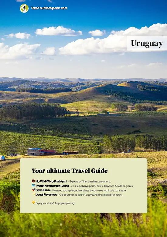
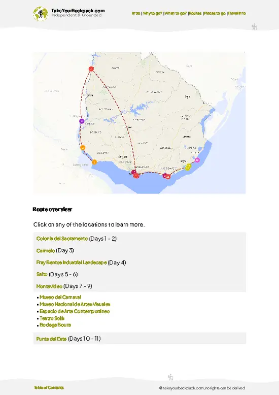
example page 0 from our offline Travel Guide for Uruguay
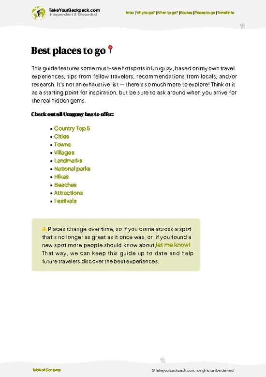
example page 1 from our offline Travel Guide for Uruguay
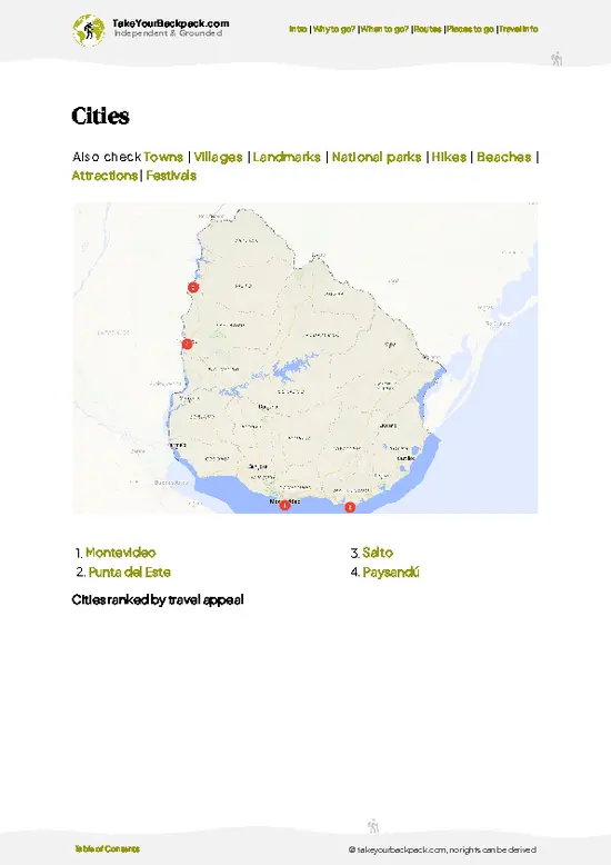
example page 2 from our offline Travel Guide for Uruguay
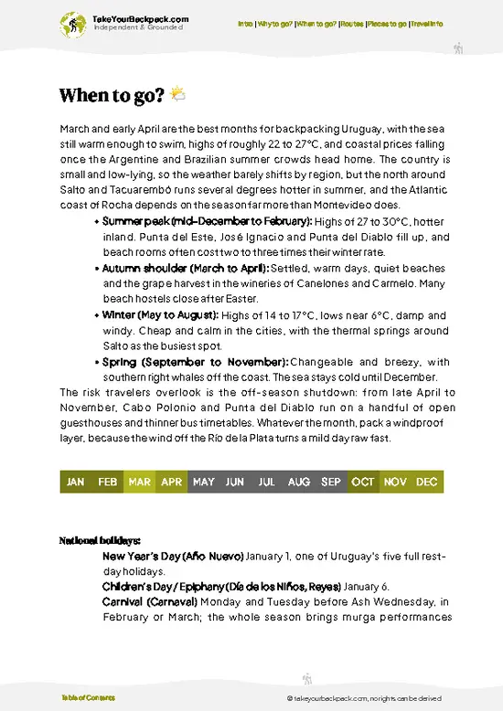
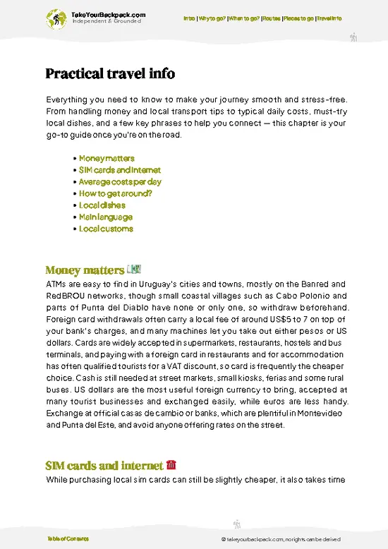
example page 3 from our offline Travel Guide for Uruguay
example page 4 from our offline Travel Guide for Uruguay
example page 5 from our offline Travel Guide for Uruguay
example page 6 from our offline Travel Guide for Uruguay
example page 7 from our offline Travel Guide for Uruguay
Loading the map 🌍
CLICK TO FILTER
cities
towns
villages
landmarks
national parks
hikes
beaches
attractions
festivals
SHOW COUNTRY’S BESTSHOW ALL

✨ Why go?
Ranked #8 national park in Uruguay
The unique appeal for travelers

San Miguel suits the backpacker who wants to walk without a schedule. There is no guided circuit to follow, so you set your own pace along sand tracks and marsh edges, stopping wherever the birds are. The Bañados de San Miguel wetland is the main reason to come, a shallow expanse where swans, herons and capybaras feed in plain view of the path. The butiá palm groves give the dry ground a look you will not find on the coast, with hundreds of short, thick-trunked palms spread across open grassland. Add the old Fortaleza de San Miguel, an 18th-century stone fort a short walk from the marsh, and a single morning has history, birdlife and open country together. Because the park sits so close to Chuy, you can pair it with border-town wandering and move on to the coast afterward without a tour.

💡 HighlightsThe experiences that define the visit

  1. Fortaleza de San Miguel: The squat stone fortress is what most people come to find. Built by the Portuguese in 1737 and taken by the Spanish in 1763, it has thick walls and a low profile over the plain, and from the top you can see the marsh stretching to the horizon.
  2. Bañados de San Miguel: This wetland shelters coscoroba and black-necked swans, herons, ibises and many other waterbirds. Go early, when the light is flat and the water is still.
  3. Butiá palm groves: Thousands of butiá palms stand in open grassland, part of a palm landscape found across eastern Uruguay. Their orange fruit ripens in summer and locals use it for liqueur and preserves.
  4. Capybaras in the shallows: These large rodents graze on the marsh edge and slide into the water if you come too close. Dusk gives the best chance of seeing
… read more 👉
  1. Fortaleza de San Miguel: The squat stone fortress is what most people come to find. Built by the Portuguese in 1737 and taken by the Spanish in 1763, it has thick walls and a low profile over the plain, and from the top you can see the marsh stretching to the horizon.
  2. Bañados de San Miguel: This wetland shelters coscoroba and black-necked swans, herons, ibises and many other waterbirds. Go early, when the light is flat and the water is still.
  3. Butiá palm groves: Thousands of butiá palms stand in open grassland, part of a palm landscape found across eastern Uruguay. Their orange fruit ripens in summer and locals use it for liqueur and preserves.
  4. Capybaras in the shallows: These large rodents graze on the marsh edge and slide into the water if you come too close. Dusk gives the best chance of seeing family groups.
  5. Marsh deer habitat: The ciervo de los pantanos, South America’s largest deer, lives in the reed beds. Sightings are uncommon, but binoculars and patience occasionally pay off.
  6. Greater rheas on the plain: The ñandú, a flightless bird that looks like a small ostrich, wanders the grassland and runs off in a low sprint when startled.
  7. Frontier plains and the Brazilian border: The flat horizon and straight roads give a sense of how close the frontier is, with ranch gates and cattle on either side.
For a first visit, start with the Fortaleza de San Miguel, then walk down toward the marsh while the birds are still active.
Spotted a mistake or missing something? Contact us.

🌤️ When to go?Choosing the right time of year

  • Summer (Dec to Feb): Highs reach 28 to 32°C (82 to 90°F), humid, with thunderstorms. Days run about 14 hours. This is the busiest period in Uruguay, and Rocha beach towns raise prices.
  • Autumn (Mar to May): Highs of 18 to 25°C (64 to 77°F), clearer skies and fewer people. Wetlands fill with migrating birds.
  • Winter (Jun to Aug): Highs of 12 to 17°C (54 to 63°F), nights near 3 to 6°C (37 to 43°F), damp and windy. Days shorten to about 10 hours. Prices drop and you will often have the trails to yourself.
  • Spring (Sep to Nov): Highs of 17 to 24°C (63 to 75°F), wildflowers and nesting birds, moderate rain.
March to April and October to November give you mild walking weather without peak-season rates.

source: climatestotravel.comJANJanuary: good for travelingFEBFebruary: good for travelingMARMarch: highly recommended for travelingAPRApril: highly recommended for travelingMAYMay: good for travelingJUNJune: fair for travelingJULJuly: fair for travelingAUGAugust: fair for travelingSEPSeptember: highly recommended for travelingOCTOctober: excellent for travelingNOVNovember: excellent for travelingDECDecember: good for traveling
uruguay-national-park-parque-nacional-san-miguel
© Google |

✈️ The backpacker research shortcutUruguay Travel Guide

An offline-friendly backpacking guide with optimized travel routes, ranked highlights, transport advice, and the best areas to stay.
example page 0 from our offline Travel Guide for Uruguay
example page 1 from our offline Travel Guide for Uruguay
example page 2 from our offline Travel Guide for Uruguay
example page 3 from our offline Travel Guide for Uruguay
example page 4 from our offline Travel Guide for Uruguay
example page 5 from our offline Travel Guide for Uruguay
example page 6 from our offline Travel Guide for Uruguay
example page 7 from our offline Travel Guide for Uruguay
The digital guide (198 pages) contains:
✅ 56 highlights, ranked by travel appeal
✅ Optimized 5, 10 & 15-day travel routes
✅ Cities, national parks, landmarks, beaches
✅ How to get around
✅ Offline-friendly for travel without Wi-Fi
👉 Click to see all 30+ guide features

📅 Plan smarter in minutes, not weeks
✅ Month by month travel advice
✅ Festivals & national holidays
✅ Budget expectations

🗺️ Go to the right places, skip the overrated ones
✅ Honest pros & cons of destinations
✅ Top hikes, parks & viewpoints
✅ Lesser-known places most travelers miss
✅ Clear “worth it vs skip it” guidance

🛏️ Travel smoothly without rookie mistakes
✅ Best areas to stay
✅ Transport systems explained simply
✅ Common scams & safety advice
✅ SIM cards, money & practical tips

🌍 Understand the country, not just visit it
✅ Culture & traditions
✅ 52 Essential phrases & customs
✅ Festivals worth planning around
✅ Traveler-friendly historical context
✅ Insights that make places more meaningful

📱 Built for real travel conditions
✅ Fully downloadable PDF
✅ Works completely offline
✅ Optimized for phone use
✅ Useful in remote areas & buses
✅ Everything in one place
Stop searching, start planning
Get instant access to your full guide. 30‑day money-back guarantee.
+ Add another guide for just

By proceeding you agree to our terms.
Sent to your inbox immediately after payment • 100% Secure Checkout
Best Backpacking Travel Advisor 2025 tourism awardBest Backpacking
Travel Advisor
2025
What others say about Take Your Backpack Guides:
⭐⭐⭐⭐⭐
Fantastic, amazing amount of information!
⭐⭐⭐⭐⭐
My goodness this is amazing, it's what I've been looking for hats off too you!
⭐⭐⭐⭐⭐
I think this is absolutely BRILLIANT
⭐⭐⭐⭐
Very complete and informative. It's still missing places, but I gotta to commend you
⭐⭐⭐⭐⭐
This is truly amazing, thank you, can't wait to explore it with my kids!
⭐⭐⭐⭐⭐
Awesome resource, thank you!
⭐⭐⭐⭐⭐
This is amazing! Can't wait to explore the ones I haven't seen
⭐⭐⭐⭐
I love this! Well done, great idea.
⭐⭐⭐⭐⭐
Thanks for taking the time to make this gem!
⭐⭐⭐⭐⭐
This might be the best website I've ever seen.
⭐⭐⭐⭐⭐
Congratulations, and thank you so much for your work; it's incredibly valuable.
⭐⭐⭐⭐
In all seriousness I think you did a great job pointing out the important spots
⭐⭐⭐⭐⭐
10/10 very good
⭐⭐⭐⭐⭐
As someone who's only just starting to visit regularly this is awesome, thank you.
⭐⭐⭐⭐
Thank you very much! I'm going to visit my dad, it's going to be very useful!
⭐⭐⭐⭐⭐
This is really cool! We'll be travelling for the first time and this definitely come in handy.
⭐⭐⭐⭐⭐
You are now our minister of culture, congratulations 👨‍💼
⭐⭐⭐⭐⭐
Just wanted to tell you that this is a pearl! Going to follow your recommendations.
⭐⭐⭐⭐⭐
This is so cool. I'll definitely be using the resource for my travels soon.
⭐⭐⭐⭐⭐
This is very impressive! Good work.
⭐⭐⭐⭐⭐
This is an amazing and informative site. Very well done!

🛏️ Where to stay?How to pick the right area

There are no beds inside San Miguel itself, so most backpackers sleep in the town of Chuy, about 8 km away, where hostels and budget hotels cost roughly US$20 to 45 a night. Chuy sits on the Brazilian border, has the most buses, supermarkets and ATMs, and makes the easiest base if you have no car.

The nearest alternative is the small town of San Luis al Medio and the surrounding farm stays (estancias), which offer simple rooms around US$40 to 80 with meals sometimes included. These suit anyone with a vehicle who wants quiet and early starts at the wetlands.

For a beach evening, Barra del Chuy … read more 👉
There are no beds inside San Miguel itself, so most backpackers sleep in the town of Chuy, about 8 km away, where hostels and budget hotels cost roughly US$20 to 45 a night. Chuy sits on the Brazilian border, has the most buses, supermarkets and ATMs, and makes the easiest base if you have no car.

The nearest alternative is the small town of San Luis al Medio and the surrounding farm stays (estancias), which offer simple rooms around US$40 to 80 with meals sometimes included. These suit anyone with a vehicle who wants quiet and early starts at the wetlands.

For a beach evening, Barra del Chuy and La Coronilla, roughly 45 minutes away, have campsites at about US$8 to 15 per person and cabins from US$40. Book ahead in January and February, when they fill. Outside summer many small places close, so Chuy is the dependable fallback.

👛 Costs (as of 19 October 2026)Typical daily expenses

A realistic daily budget for San Miguel is about US$45 to 60 when you base yourself in Chuy and move around locally.
CategoryBudget RangeLocal Reality
Entrance feesUS$0 to 5The fortress and surrounding area are low cost or free; guided wetland visits cost extra.
Accommodation (high season)US$20 to 45Hostel beds or simple hotels in Chuy. Campsites at the beaches run US$8 to 15.
Accommodation (low season)US$15 to 30Rates fall and many rooms sit empty from June to August.
Local transportUS$3 to 12Local buses reach Chuy; a taxi to the site costs roughly US$15 to 30 one way, so sharing helps.
Food and suppliesUS$10 to 18Daily set lunches (menú del día) cost US$6 to 10; self-catering at Chuy supermarkets is cheaper.
Total Daily BudgetUS$45 to 60Per person, per day, in high season.
⚠️ Prices can change and everyone travels differently, so take this as a rough guide. Hope it helps you plan your adventure!

🥾 TrailsWhere to hike in Parque Nacional San Miguel: trails for every level

San Miguel has no long marked trail network, so most people walk short, flat routes that start at the fort and run out along sand tracks and the marsh edge. The terrain is easy underfoot, with grass, packed sand and a few muddy patches after rain. There is almost no shade, and the wind off the plain can be strong.
  • Fort and ramparts loop: A stroll of about 30 to 45 minutes around the stone fortress and its grounds. Easy, with views over the marsh from the walls.
  • Marsh edge walk: A flat out-and-back along the wetland margin, taking one to two hours depending on how long you stop for birds. Easy, with
… read more 👉
San Miguel has no long marked trail network, so most people walk short, flat routes that start at the fort and run out along sand tracks and the marsh edge. The terrain is easy underfoot, with grass, packed sand and a few muddy patches after rain. There is almost no shade, and the wind off the plain can be strong.
  • Fort and ramparts loop: A stroll of about 30 to 45 minutes around the stone fortress and its grounds. Easy, with views over the marsh from the walls.
  • Marsh edge walk: A flat out-and-back along the wetland margin, taking one to two hours depending on how long you stop for birds. Easy, with the best chance of capybaras, swans and herons.
  • Butiá palm savanna: An open ramble across grassland dotted with palms, usually 1 to 2 hours. Easy to moderate, mainly because of the sun and the lack of defined paths.
  • Wildlife: Expect waterbirds throughout the year, capybaras near the water, rheas on the plain and, with luck, marsh deer at dawn or dusk.
  • Difficulty: Low overall. The challenge is heat in summer and mud after heavy rain, not gradient.
Reaching San Miguel without a car takes effort. Buses serve Chuy, and from there a taxi or a hired car is the practical way to cover the last stretch. Services in the park are minimal, so carry water, a hat and insect repellent. Crowds are rarely an issue, and you may have the marsh to yourself on weekdays. There is no meaningful charge to enter the fort grounds or walk the surrounding tracks.
⚠️ Hiking info can sometimes be outdated or inaccurate. Before you hit the trail, check the latest conditions with locals. If you do spot anything that's off, I'd love to hear from you, so I can update it for fellow travelers.

🛡️ SafetySafety Tips and Common Scams in Parque Nacional San Miguel

San Miguel is straightforward and low risk, with flat, open terrain of wetland, palm groves and a historic fortress. The main hazards are weather and sun. Summer heat and humidity can be intense with little shade, so carry at least 2 liters of water, a hat and sunscreen, and start early. Afternoon thunderstorms arrive fast across open ground, so leave exposed areas when the sky darkens. Dirt tracks turn to slick mud after rain and can stop ordinary cars.

Mosquitoes and ticks are common in warm months, so wear long sleeves in grassy areas and use repellent. Wildlife is mostly capybaras, rheas and birds; keep your distance and do not feed them. Cell signal is patchy, so download maps first.

FAQFrequently asked questions about Parque Nacional San Miguel

One day is enough for San Miguel itself, which covers the fortress and nearby wetland trails in about 3 to 5 hours. Adding two or three days lets you pair it with Santa Teresa National Park and the Laguna Merín area. Chuy works as a base for the whole trip.
San Miguel is hard to reach without a car, but doable. Buses run from Montevideo to Chuy in roughly 5 to 6 hours, and from there a taxi covers the short trip of about 8 km for about US$15 to 30 one way. Cycling from Chuy is possible on flat roads, though shade is scarce.
San Miguel has no major entrance charge; the fortress area is free or only a few dollars, up to about US$5. Guided wetland or boat visits cost extra, often US$10 to 30, and no permit is needed for walking. Bring cash, as small sites often do not accept cards.
⚠️ Things can change over time, so always validate details locally before you go.

Other Uruguayan national parks near Parque Nacional San Miguel

Explore more nearby:


💡 Not sure where to go next?
Create a personalized itinerary for Uruguay including Parque Nacional San Miguel and the places that fit your trip.

Generate my itinerary

👉 Discover all national parks

Or checkout all Uruguay has to offer (think cities, towns, villages, national parks, hikes, beaches, festivals)
Country photo of Uruguay

We 💚 feedbackSumming up the experience

San Miguel will please birders, photographers and anyone who likes quiet, empty landscapes more than ticking off summits. If you need drama or a packed itinerary, skip it. I would bring binoculars, a hat and plenty of water, and arrive at the marsh early, before the heat flattens the light and the wildlife retreats.

✍️ Help improve this page!
The information on this page is based on in-depth research, insights shared by experienced travelers, and feedback from the local travel community in Uruguay. While every effort is made to keep the information accurate and current, conditions can change — so if you spot anything incorrect or outdated, please get in touch.


🙋‍♂️ Give feedback

👋 Meet the founderWho’s Behind Take Your Backpack?

Johan, backpacker and founder of TakeYourBackpackHi, I’m Johan (Netherlands 🇳🇱), the creator of TakeYourBackpack. Over the past 3 decades, I’ve backpacked through 90+ countries across six continents, gaining extensive experience with independent travel, long-term trips, and overland routes.

This site is built on a combination of firsthand travel experience and carefully curated insights from other backpackers. Many guides are based on places I’ve personally visited, while others bring together tips, observations, and practical advice shared by trusted travelers I’ve met along the way.

The goal is to provide realistic, experience-driven guidance — not generic itineraries — so you can explore destinations with better context, clearer expectations, and more confidence.