×

Argentina🇦🇷 | hikesLaguna LlancaneloWetland reserve, flamingo colonies, flat terrain, Mendoza steppe | things to do and best time to go

Explore Cerro UritorcoExplore Área Natural Protegida Río Azul – Lago Escondido

Backpacking in Laguna Llancanelo
By Johan Kruseman 🇳🇱 | Updated October 19, 2026

Salt dust kicks up around your boots as flamingos lift off in a pink wave across the water, their calls sharp against the wind. Laguna Llancanelo sits in Mendoza province, southeast of San Rafael, a wetland reserve ringed by volcanic scrubland. This flat, easy walk rewards patience over stamina; scenery beats difficulty here. Public transport doesn't reach the reserve directly, so you're stuck arranging a taxi or tour from San Rafael, unlike the bus-friendly trails near Bariloche. I stood ankle-deep in cracked mud once, watching three flamingos wade past close enough to hear their feet suction out of the muck.

Discover everything you want to know in the 📖 Argentina Travel Guide.
Best time to go: October - April
Duration: 3 hours
Distance: 6 kilometers


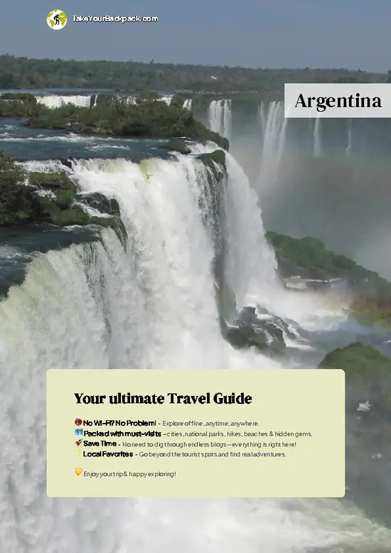
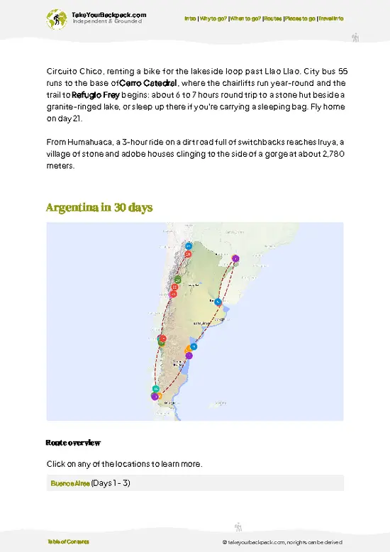
example page 0 from our offline Travel Guide for Argentina
example page 1 from our offline Travel Guide for Argentina
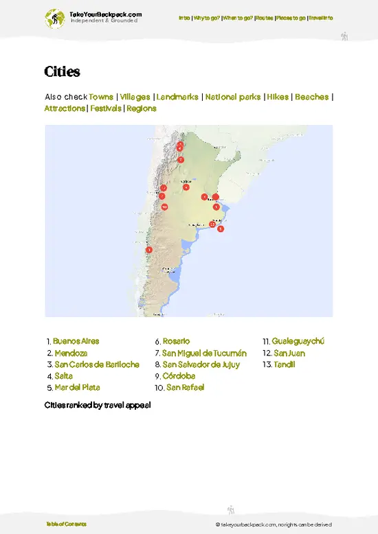
example page 2 from our offline Travel Guide for Argentina
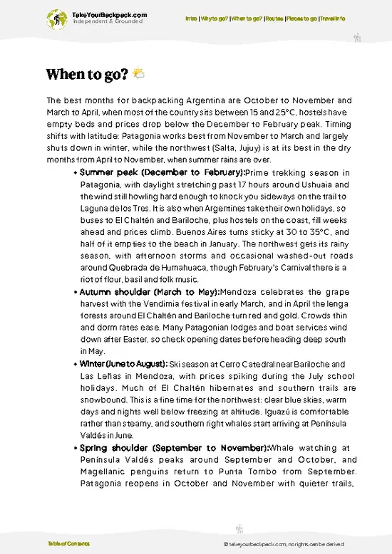
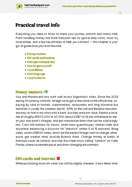
example page 3 from our offline Travel Guide for Argentina
example page 4 from our offline Travel Guide for Argentina
example page 5 from our offline Travel Guide for Argentina
example page 6 from our offline Travel Guide for Argentina
example page 7 from our offline Travel Guide for Argentina
Loading the map 🌍
CLICK TO FILTER
cities
towns
villages
landmarks
national parks
hikes
beaches
attractions
festivals
regions
SHOW COUNTRY’S BESTSHOW ALL

✨ Why go?
Ranked #99 hike in Argentina
What makes this hike worth hiking

Backpackers come for the outrageous scenery-to-effort ratio: flat terrain, minimal exertion, and a payoff of thousands of flamingos against volcanic backdrops. It's low cost, especially if you split a taxi with fellow travelers from San Rafael. Distances are flexible, from a short viewpoint stroll to a longer loop around the shoreline. It slots neatly into a Mendoza-region route, pairing well with wine country days and desert excursions nearby, without demanding a dedicated multi-day detour.

💡 HighlightsWhat this place is best known for

  1. Flamingo Colonies: Thousands of Chilean flamingos feed in the shallows, easily visible without binoculars on a good day, making this the reserve's signature sight.
  2. Volcanic Backdrop: The Payún Matrú volcanic field frames the horizon, giving the flat lagoon a stark, otherworldly contrast that photos rarely capture properly.
  3. Bird Diversity Beyond Flamingos: Black-necked swans, coots, and various waterfowl share the wetland, rewarding anyone who lingers past the first flamingo photo.
  4. Salt Flat Margins: Where the water recedes, cracked white salt crust forms patterns underfoot, a personal favorite because the texture and silence there feel genuinely strange.
  5. Open Steppe Approach: The drive and walk in cross wide, empty scrubland with guanaco sightings possible, setting up the lagoon's sudden burst of color and life as a real payoff.
Spotted a mistake or missing something? Contact us.

🌤️ When to go?Seasonal considerations and timing

  • Spring (September-November): Mild days around 15-22°C (59-72°F), migratory birds arriving, water levels higher, fewer visitors than summer.
  • Summer (December-February): Hot, often 28-35°C (82-95°F), intense sun exposure with little shade, but peak flamingo activity and long daylight hours past 8pm.
  • Winter (June-August): Cold, sometimes near freezing overnight, water can drop or partially dry, fewer birds, tours less frequent.
  • Prices: Tour and taxi rates stay fairly stable year-round, though summer sees slightly more demand from San Rafael operators.
Pro-tip: aim for early morning in November, the light hits the water flat and gold, and the flamingos haven't scattered yet from midday heat.

source: climatestotravel.comJANJanuary: excellent for travelingFEBFebruary: excellent for travelingMARMarch: highly recommended for travelingAPRApril: good for travelingMAYMay: fair for travelingJUNJune: below average for travelingJULJuly: below average for travelingAUGAugust: below average for travelingSEPSeptember: fair for travelingOCTOctober: highly recommended for travelingNOVNovember: highly recommended for travelingDECDecember: excellent for traveling
when-to-go

✈️ The backpacker research shortcutArgentina Travel Guide

An offline-friendly backpacking guide with optimized travel routes, ranked highlights, transport advice, and the best areas to stay.
example page 0 from our offline Travel Guide for Argentina
example page 1 from our offline Travel Guide for Argentina
example page 2 from our offline Travel Guide for Argentina
example page 3 from our offline Travel Guide for Argentina
example page 4 from our offline Travel Guide for Argentina
example page 5 from our offline Travel Guide for Argentina
example page 6 from our offline Travel Guide for Argentina
example page 7 from our offline Travel Guide for Argentina
The digital guide (393 pages) contains:
✅ 131 highlights, ranked by travel appeal
✅ Optimized 14, 21 & 30-day travel routes
✅ Cities, national parks, landmarks, beaches
✅ How to get around
✅ Offline-friendly for travel without Wi-Fi
👉 Click to see all 30+ guide features

📅 Plan smarter in minutes, not weeks
✅ Month by month travel advice
✅ Festivals & national holidays
✅ Budget expectations

🗺️ Go to the right places, skip the overrated ones
✅ Honest pros & cons of destinations
✅ Top hikes, parks & viewpoints
✅ Lesser-known places most travelers miss
✅ Clear “worth it vs skip it” guidance

🛏️ Travel smoothly without rookie mistakes
✅ Best areas to stay
✅ Transport systems explained simply
✅ Common scams & safety advice
✅ SIM cards, money & practical tips

🌍 Understand the country, not just visit it
✅ Culture & traditions
✅ 52 Essential phrases & customs
✅ Festivals worth planning around
✅ Traveler-friendly historical context
✅ Insights that make places more meaningful

📱 Built for real travel conditions
✅ Fully downloadable PDF
✅ Works completely offline
✅ Optimized for phone use
✅ Useful in remote areas & buses
✅ Everything in one place
Stop searching, start planning
Get instant access to your full guide. 30‑day money-back guarantee.
+ Add another guide for just

By proceeding you agree to our terms.
Sent to your inbox immediately after payment • 100% Secure Checkout
Best Backpacking Travel Advisor 2025 tourism awardBest Backpacking
Travel Advisor
2025
What others say about Take Your Backpack Guides:
⭐⭐⭐⭐⭐
Fantastic, amazing amount of information!
⭐⭐⭐⭐⭐
My goodness this is amazing, it's what I've been looking for hats off too you!
⭐⭐⭐⭐⭐
I think this is absolutely BRILLIANT
⭐⭐⭐⭐
Very complete and informative. It's still missing places, but I gotta to commend you
⭐⭐⭐⭐⭐
This is truly amazing, thank you, can't wait to explore it with my kids!
⭐⭐⭐⭐⭐
Awesome resource, thank you!
⭐⭐⭐⭐⭐
This is amazing! Can't wait to explore the ones I haven't seen
⭐⭐⭐⭐
I love this! Well done, great idea.
⭐⭐⭐⭐⭐
Thanks for taking the time to make this gem!
⭐⭐⭐⭐⭐
This might be the best website I've ever seen.
⭐⭐⭐⭐⭐
Congratulations, and thank you so much for your work; it's incredibly valuable.
⭐⭐⭐⭐
In all seriousness I think you did a great job pointing out the important spots
⭐⭐⭐⭐⭐
10/10 very good
⭐⭐⭐⭐⭐
As someone who's only just starting to visit regularly this is awesome, thank you.
⭐⭐⭐⭐
Thank you very much! I'm going to visit my dad, it's going to be very useful!
⭐⭐⭐⭐⭐
This is really cool! We'll be travelling for the first time and this definitely come in handy.
⭐⭐⭐⭐⭐
You are now our minister of culture, congratulations 👨‍💼
⭐⭐⭐⭐⭐
Just wanted to tell you that this is a pearl! Going to follow your recommendations.
⭐⭐⭐⭐⭐
This is so cool. I'll definitely be using the resource for my travels soon.
⭐⭐⭐⭐⭐
This is very impressive! Good work.
⭐⭐⭐⭐⭐
This is an amazing and informative site. Very well done!

🛏️ Where to stay?Best areas and accommodation options

If you enjoy meeting fellow travelers, consider choosing hostels with high ratings for atmosphere. On the other hand, if you prefer having your own space, a hotel might be a better option.

🥾 Hike detailsA practical overview of the hike

Total Distance: Roughly 3 to 8 kilometers depending on which shoreline sections you cover.
Estimated Duration: 2 to 4 hours at a relaxed pace, including stops for birdwatching.
Difficulty: Easy; flat terrain with no elevation gain, suitable for most fitness levels.
Starting Point: The reserve entrance southeast of San Rafael; no direct public bus, so hire a taxi or join a small tour from town.
  • Major Landmarks: The main lagoon overlook, salt flat margins, and distant Payún Matrú volcanic field.
  • Terrain: Flat, sometimes muddy or salt-crusted ground near the water's edge.
  • Vegetation: Sparse desert scrub
… read more 👉
Total Distance: Roughly 3 to 8 kilometers depending on which shoreline sections you cover.
Estimated Duration: 2 to 4 hours at a relaxed pace, including stops for birdwatching.
Difficulty: Easy; flat terrain with no elevation gain, suitable for most fitness levels.
Starting Point: The reserve entrance southeast of San Rafael; no direct public bus, so hire a taxi or join a small tour from town.
  • Major Landmarks: The main lagoon overlook, salt flat margins, and distant Payún Matrú volcanic field.
  • Terrain: Flat, sometimes muddy or salt-crusted ground near the water's edge.
  • Vegetation: Sparse desert scrub and low grasses typical of Mendoza's arid steppe.
  • Wildlife: Chilean flamingos, black-necked swans, coots, and occasional guanacos on the approach roads.
⚠️ Hiking info can sometimes be outdated or inaccurate. Before you hit the trail, check the latest conditions with locals. If you do spot anything that's off, I'd love to hear from you, so I can update it for fellow travelers.

🛡️ SafetyScams, Hazards, and Annoyances

This is a low-risk, flat walk, but the sun exposure is real. There's no shade anywhere around the lagoon, so a hat and sunscreen matter more than sturdy boots. Wind picks up midday and can be sharp and cold even when the sun feels hot. Watch your footing near the shoreline where salt crust hides soft mud. Keep distance from nesting birds and don't approach flamingos directly; let them come to you.

FAQFrequently asked questions about Laguna Llancanelo

Most visitors spend 2 to 4 hours walking the shoreline sections and viewpoints, though a quick stop can be as short as 45 minutes if you're just after flamingo photos.
It's an easy hike overall, flat and mostly on firm ground, with the main challenges being sun exposure and occasional muddy or salt-crusted patches near the water.
No permit is required to enter the reserve, and a guide isn't mandatory, though many travelers join a small tour from San Rafael since public transport doesn't reach the site directly.
⚠️ Things can change over time, so always validate details locally before you go.

Other Argentine hikes near Laguna Llancanelo

Explore more nearby:

  • Aconcagua—Puente del Inca trailhead, mule-supported trek, Plaza de Mulas, 4,300 meters| 336 km away
  • Cerro Champaquí—Córdoba high point, grass-and-scrub ridges, 2,790 meters, condor thermals| 557 km away
  • Los Gigantes—Boulder fields, wind-carved granite, summit panorama, Sierras Grandes ridges| 612 km away

💡 Not sure where to go next?
Create a personalized itinerary for Argentina including Laguna Llancanelo and the places that fit your trip.

Generate my itinerary

👉 Discover all hikes

Or checkout all Argentina has to offer (think cities, towns, villages, national parks, hikes, beaches, festivals)
Country photo of Argentina

We 💚 feedbackFinal thoughts on hiking the Laguna Llancanelo

Llancanelo delivers a genuinely strange, beautiful sight for almost no physical effort, which is rare. The drawback: without a car or tour, getting there independently is a real hassle, and that logistics headache can outweigh the reward for some travelers.

✈️ When did I visit Argentina?
I have visited Argentina, together with Chile, in September 2012.

✍️ Help improve this page!
The information on this page is based on my own backpacking experience in Argentina, supplemented with up-to-date research and feedback from other travelers. Travel details can change, so if you notice anything outdated or incomplete, feel free to let me know.


🙋‍♂️ Give feedback

👋 Meet the founderWho’s Behind Take Your Backpack?

Johan, backpacker and founder of TakeYourBackpackHi, I’m Johan (Netherlands 🇳🇱), the creator of TakeYourBackpack. Over the past 3 decades, I’ve backpacked through 90+ countries across six continents, gaining extensive experience with independent travel, long-term trips, and overland routes.

This site is built on a combination of firsthand travel experience and carefully curated insights from other backpackers. Many guides are based on places I’ve personally visited, while others bring together tips, observations, and practical advice shared by trusted travelers I’ve met along the way.

The goal is to provide realistic, experience-driven guidance — not generic itineraries — so you can explore destinations with better context, clearer expectations, and more confidence.