×

Argentina🇦🇷 | attractionsCamino de las Altas CumbresGranite plateau, condor canyon, hairpin descent, roadside mate | things to do and best time to go

Explore Villa PehueniaExplore Puerto Blest

Backpacking in Camino de las Altas Cumbres
👍 Recommendedattraction ranked #12
By Johan Kruseman 🇳🇱 | Updated October 19, 2026

The road tops out at roughly 2,200 meters on the Pampa de Achala, a treeless granite plateau where the Camino de las Altas Cumbres is the only paved crossing for miles. It runs in Argentina’s Córdoba province, west of Villa Carlos Paz toward Mina Clavero. At the Quebrada del Condorito turnoff I paid about US$2 for a mate and a warm alfajor from a roadside kiosk, and the sugar hit harder than the view. Skip the drive-through-and-leave approach. Stopping at three or four pullouts is the point, and buses won’t wait for you. Rent a car or hire a remis, and fill the tank in Carlos Paz.

Discover everything you want to know in the 📖 Argentina Travel Guide.
Best time to go: September - April
Daily cost: US$35 to 70 [argentina.gob.ar]
Duration: 3 days
Distance: 70 kilometers
Total ascent: 2200 meters


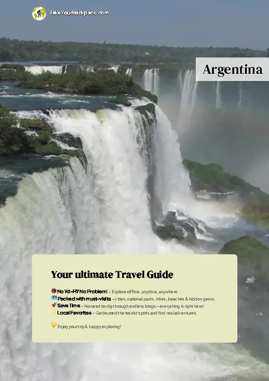
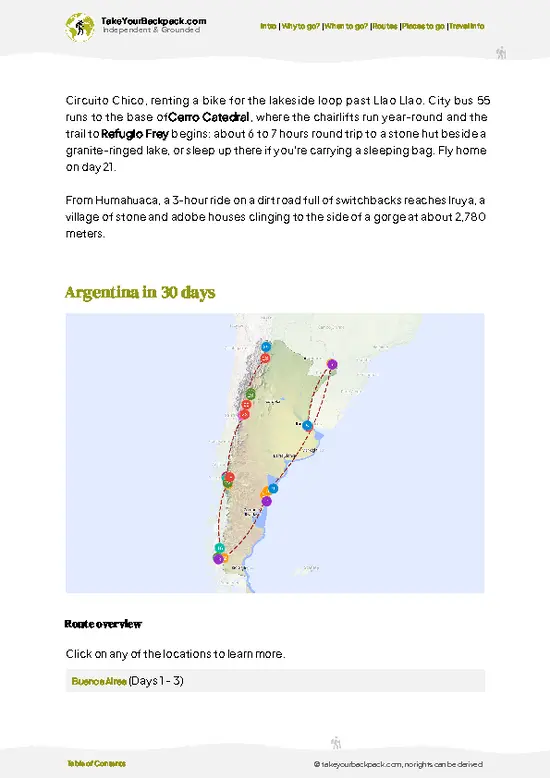
example page 0 from our offline Travel Guide for Argentina
example page 1 from our offline Travel Guide for Argentina
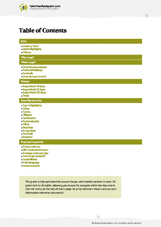
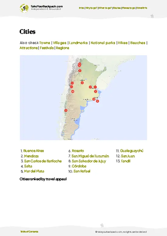
example page 2 from our offline Travel Guide for Argentina
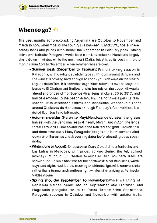
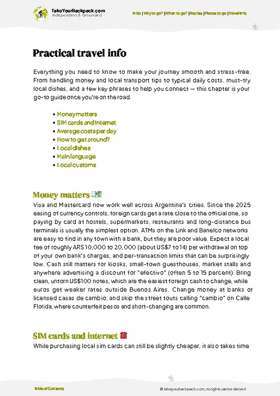
example page 3 from our offline Travel Guide for Argentina
example page 4 from our offline Travel Guide for Argentina
example page 5 from our offline Travel Guide for Argentina
example page 6 from our offline Travel Guide for Argentina
example page 7 from our offline Travel Guide for Argentina
Loading the map 🌍
CLICK TO FILTER
cities
towns
villages
landmarks
national parks
hikes
beaches
attractions
festivals
regions
SHOW COUNTRY’S BESTSHOW ALL

✨ Why go?
Ranked #12 attraction in Argentina
Why visitors keep coming back

Camino de las Altas Cumbres is the cleanest way to see the Sierras Grandes without a multi-day trek. In under two hours of driving you climb from the lake-dotted foothills to a high plateau of granite and tussock grass where the temperature drops sharply and fog can swallow the road. It is also the gateway to Quebrada del Condorito National Park, one of the few places in Argentina where Andean condors nest this far east. The descent toward the Traslasierra valley is the second reason: the landscape flips from gray plateau to red-earth ranch country with the Comechingones range behind. If you are crossing Córdoba, this beats the lowland highway by a wide margin.

💡 HighlightsThe experiences that define the visit

  1. Quebrada del Condorito: a 1,000-meter-deep canyon on the plateau where Andean condors ride the updrafts. The park trail to the Balcón Norte lookout is short and easy.
  2. Pampa de Achala: open, windswept highland of granite boulders and grass, with wild horses and the odd fox. It feels more Patagonian than Córdoba.
  3. Mirador del Cóndor: a roadside viewpoint where you can often spot condors circling without leaving the car.
  4. Las Curvas de Altas Cumbres: the hairpin stretch on the Traslasierra side, where the road drops steeply toward the valley floor with long views.
  5. Piedra Movediza viewpoints: granite outcrops along the plateau that make good photo stops and short scrambles.
  6. Mina Clavero: the river town at the end of the descent, with swimming holes along the Río Mina Clavero and a simple riverside promenade.
… read more 👉
  1. Quebrada del Condorito: a 1,000-meter-deep canyon on the plateau where Andean condors ride the updrafts. The park trail to the Balcón Norte lookout is short and easy.
  2. Pampa de Achala: open, windswept highland of granite boulders and grass, with wild horses and the odd fox. It feels more Patagonian than Córdoba.
  3. Mirador del Cóndor: a roadside viewpoint where you can often spot condors circling without leaving the car.
  4. Las Curvas de Altas Cumbres: the hairpin stretch on the Traslasierra side, where the road drops steeply toward the valley floor with long views.
  5. Piedra Movediza viewpoints: granite outcrops along the plateau that make good photo stops and short scrambles.
  6. Mina Clavero: the river town at the end of the descent, with swimming holes along the Río Mina Clavero and a simple riverside promenade.
  7. Roadside kiosks: small stands selling mate, alfajores and regional cheeses, handy on a cold plateau.
Camino de las Altas Cumbres works best if you stop first at Quebrada del Condorito, since condors are most active in the morning and fog tends to build later.
Spotted a mistake or missing something? Contact us.

Things to do near Camino de las Altas Cumbres

Ratings based on Tripadvisor reviews. When you book through this link, you support our work at no extra cost to you.

🌤️ When to go?When to go for the best experience

  • Summer (Dec to Feb): Warm in Villa Carlos Paz (22 to 30°C, 72 to 86°F), cooler on the Pampa de Achala (8 to 18°C, 46 to 64°F). Afternoon storms and fog are common, and Argentine holiday crowds and peak prices arrive in January.
  • Autumn (Mar to May): Clear skies, 10 to 24°C (50 to 75°F), thin crowds and lower prices make this the best window for the drive.
  • Winter (Jun to Aug): Frost and occasional ice or snow on the high stretch, with highs of 12 to 18°C (54 to 64°F) and days under 10 hours of light. Views are crisp but chain and ice checks matter.
  • Spring (Sep to Nov): Mild, 12 to 25°C (54 to 77°F), green hills and few crowds, except long weekends.
Drive on a weekday morning, before fog and cloud settle over the summit.

source: climatestotravel.comJANJanuary: highly recommended for travelingFEBFebruary: highly recommended for travelingMARMarch: excellent for travelingAPRApril: excellent for travelingMAYMay: fair for travelingJUNJune: below average for travelingJULJuly: below average for travelingAUGAugust: fair for travelingSEPSeptember: good for travelingOCTOctober: excellent for travelingNOVNovember: excellent for travelingDECDecember: highly recommended for traveling
when-to-go

✈️ The backpacker research shortcutArgentina Travel Guide

An offline-friendly backpacking guide with optimized travel routes, ranked highlights, transport advice, and the best areas to stay.
example page 0 from our offline Travel Guide for Argentina
example page 1 from our offline Travel Guide for Argentina
example page 2 from our offline Travel Guide for Argentina
example page 3 from our offline Travel Guide for Argentina
example page 4 from our offline Travel Guide for Argentina
example page 5 from our offline Travel Guide for Argentina
example page 6 from our offline Travel Guide for Argentina
example page 7 from our offline Travel Guide for Argentina
The digital guide (393 pages) contains:
✅ 131 highlights, ranked by travel appeal
✅ Optimized 14, 21 & 30-day travel routes
✅ Cities, national parks, landmarks, beaches
✅ How to get around
✅ Offline-friendly for travel without Wi-Fi
👉 Click to see all 30+ guide features

📅 Plan smarter in minutes, not weeks
✅ Month by month travel advice
✅ Festivals & national holidays
✅ Budget expectations

🗺️ Go to the right places, skip the overrated ones
✅ Honest pros & cons of destinations
✅ Top hikes, parks & viewpoints
✅ Lesser-known places most travelers miss
✅ Clear “worth it vs skip it” guidance

🛏️ Travel smoothly without rookie mistakes
✅ Best areas to stay
✅ Transport systems explained simply
✅ Common scams & safety advice
✅ SIM cards, money & practical tips

🌍 Understand the country, not just visit it
✅ Culture & traditions
✅ 52 Essential phrases & customs
✅ Festivals worth planning around
✅ Traveler-friendly historical context
✅ Insights that make places more meaningful

📱 Built for real travel conditions
✅ Fully downloadable PDF
✅ Works completely offline
✅ Optimized for phone use
✅ Useful in remote areas & buses
✅ Everything in one place
Stop searching, start planning
Get instant access to your full guide. 30‑day money-back guarantee.
+ Add another guide for just

By proceeding you agree to our terms.
Sent to your inbox immediately after payment • 100% Secure Checkout
Best Backpacking Travel Advisor 2025 tourism awardBest Backpacking
Travel Advisor
2025
What others say about Take Your Backpack Guides:
⭐⭐⭐⭐⭐
Fantastic, amazing amount of information!
⭐⭐⭐⭐⭐
My goodness this is amazing, it's what I've been looking for hats off too you!
⭐⭐⭐⭐⭐
I think this is absolutely BRILLIANT
⭐⭐⭐⭐
Very complete and informative. It's still missing places, but I gotta to commend you
⭐⭐⭐⭐⭐
This is truly amazing, thank you, can't wait to explore it with my kids!
⭐⭐⭐⭐⭐
Awesome resource, thank you!
⭐⭐⭐⭐⭐
This is amazing! Can't wait to explore the ones I haven't seen
⭐⭐⭐⭐
I love this! Well done, great idea.
⭐⭐⭐⭐⭐
Thanks for taking the time to make this gem!
⭐⭐⭐⭐⭐
This might be the best website I've ever seen.
⭐⭐⭐⭐⭐
Congratulations, and thank you so much for your work; it's incredibly valuable.
⭐⭐⭐⭐
In all seriousness I think you did a great job pointing out the important spots
⭐⭐⭐⭐⭐
10/10 very good
⭐⭐⭐⭐⭐
As someone who's only just starting to visit regularly this is awesome, thank you.
⭐⭐⭐⭐
Thank you very much! I'm going to visit my dad, it's going to be very useful!
⭐⭐⭐⭐⭐
This is really cool! We'll be travelling for the first time and this definitely come in handy.
⭐⭐⭐⭐⭐
You are now our minister of culture, congratulations 👨‍💼
⭐⭐⭐⭐⭐
Just wanted to tell you that this is a pearl! Going to follow your recommendations.
⭐⭐⭐⭐⭐
This is so cool. I'll definitely be using the resource for my travels soon.
⭐⭐⭐⭐⭐
This is very impressive! Good work.
⭐⭐⭐⭐⭐
This is an amazing and informative site. Very well done!

🛏️ Where to stay?How to pick the right area

Villa Carlos Paz is the easiest base for the eastern end of Camino de las Altas Cumbres, with the most beds, frequent buses and a walkable center with restaurants, bars and a lakeside promenade. It is lively and busy in summer, so book ahead in January. Mina Clavero, at the western foot of the road, suits backpackers who want river swimming, a relaxed small-town feel and easy access to the Nono valley and the Camino de los Túneles. Hostels and budget guesthouses cluster near the main street and the river, which makes meeting other travelers simple. Both towns are safe for solo travelers who use … read more 👉
Villa Carlos Paz is the easiest base for the eastern end of Camino de las Altas Cumbres, with the most beds, frequent buses and a walkable center with restaurants, bars and a lakeside promenade. It is lively and busy in summer, so book ahead in January. Mina Clavero, at the western foot of the road, suits backpackers who want river swimming, a relaxed small-town feel and easy access to the Nono valley and the Camino de los Túneles. Hostels and budget guesthouses cluster near the main street and the river, which makes meeting other travelers simple. Both towns are safe for solo travelers who use normal evening care. Staying at the Mina Clavero end lets you drive or take transport downhill from the Pampa de Achala toward sunset views, while Villa Carlos Paz works better if you arrive by bus from Córdoba. Neither has accommodation along the high stretch itself.

👛 Costs (as of 19 October 2026)How expensive it really is

Camino de las Altas Cumbres costs a backpacker about US$35 to 70 a day, since the road itself is free to drive and you mainly pay for transport, beds and food. Prices are paid in Argentine pesos and shift quickly with inflation, so treat these as ranges.
CategoryBudget RangeLocal Reality
Road accessUS$0No entrance fee on the public road RP 34. Some viewpoints and the Quebrada del Condorito park access charge a small fee.
Accommodation (high season)US$15 to 30Dorm beds in Villa Carlos Paz or Mina Clavero. Off season is often 20 to 30 percent lower.
TransportUS$6 to 15Intercity buses between Villa Carlos Paz and Mina Clavero take about 2 to 2.5 hours. Car rental from Córdoba is much pricier.
FoodUS$10 to 18Set lunches and empanadas are cheap, while grilled meat dinners cost more.
ExtrasUS$4 to 7Park
… read more 👉
Camino de las Altas Cumbres costs a backpacker about US$35 to 70 a day, since the road itself is free to drive and you mainly pay for transport, beds and food. Prices are paid in Argentine pesos and shift quickly with inflation, so treat these as ranges.
CategoryBudget RangeLocal Reality
Road accessUS$0No entrance fee on the public road RP 34. Some viewpoints and the Quebrada del Condorito park access charge a small fee.
Accommodation (high season)US$15 to 30Dorm beds in Villa Carlos Paz or Mina Clavero. Off season is often 20 to 30 percent lower.
TransportUS$6 to 15Intercity buses between Villa Carlos Paz and Mina Clavero take about 2 to 2.5 hours. Car rental from Córdoba is much pricier.
FoodUS$10 to 18Set lunches and empanadas are cheap, while grilled meat dinners cost more.
ExtrasUS$4 to 7Park fees, snacks and a river swim are minor costs.
Total Daily BudgetUS$35 to 70Per person, per day, in high season.


source: argentina.gob.ar
⚠️ Prices can change and everyone travels differently, so take this as a rough guide. Hope it helps you plan your adventure!

🛡️ SafetySafety Tips and Common Scams in Camino de las Altas Cumbres

Weather here shifts fast, wind on the exposed plateau sections can turn cold and biting even when the valley below feels warm, so pack a real windproof layer regardless of season. Footing gets loose on the granite scree near the summit approaches, so slow down rather than trust your ankles blindly. River crossings are usually shallow but can rise after rain, so check levels before committing. Guanacos and condors are harmless and worth watching quietly from a distance. The main gap I see in first-timers is underestimating sun exposure on the open plateau; there's little shade for hours at a stretch, so start early and carry more water than you think you need.

FAQFrequently asked questions about Camino de las Altas Cumbres

Camino de las Altas Cumbres takes 2 to 3 hours to drive without stops, covering roughly 80 km between Villa Carlos Paz and Mina Clavero. Plan a full day if you want to stop at the Pampa de Achala viewpoints and walk into the Quebrada del Condorito. Staying overnight in Mina Clavero lets you split the trip comfortably.
Camino de las Altas Cumbres has no entrance fee, so the drive itself costs nothing beyond transport. The Quebrada del Condorito national park, a short walk from the road at the top, charges a modest fee that is typically a few dollars (about US$3 to 10, with foreigners paying more). Condor sightings and views across the Sierras Grandes make that fee good value.
Camino de las Altas Cumbres starts in Villa Carlos Paz, about 36 km and a 40 to 60 minute bus ride from Córdoba (US$2 to 4). From there, intercity buses to Mina Clavero use the road and take 2 to 2.5 hours for roughly US$6 to 12. A rental car or taxi from Córdoba gives more freedom to stop at viewpoints along the way.
⚠️ Things can change over time, so always validate details locally before you go.

Other Argentine attractions near Camino de las Altas Cumbres

Explore more nearby:

  • Museo Castagnino—Berni collection, Parque Independencia, Rosario painting, palace-like building| 419 km away
  • Museo de la Memoria—Former army command, state terrorism archive, survivor testimony| 420 km away
  • Museo Evita—Eva's wardrobe, letters archive, 1923 mansion, courtyard café| 682 km away

💡 Not sure where to go next?
Create a personalized itinerary for Argentina including Camino de las Altas Cumbres and the places that fit your trip.

Generate my itinerary

👉 Discover all attractions

Or checkout all Argentina has to offer (think cities, towns, villages, national parks, hikes, beaches, festivals)
Country photo of Argentina

We 💚 feedbackParting advice and final tips

Camino de las Altas Cumbres looks like a scenic shortcut, but the plateau’s weather is what shapes the day. Fog can arrive within minutes even in summer. I would start early, carry a windproof layer, and treat the condor canyon as the main stop rather than an extra.

✈️ When did I visit Argentina?
I have visited Argentina, together with Chile, in September 2012.

✍️ Help improve this page!
The information on this page is based on my own backpacking experience in Argentina, supplemented with up-to-date research and feedback from other travelers. Travel details can change, so if you notice anything outdated or incomplete, feel free to let me know.


🙋‍♂️ Give feedback

👋 Meet the founderWho’s Behind Take Your Backpack?

Johan, backpacker and founder of TakeYourBackpackHi, I’m Johan (Netherlands 🇳🇱), the creator of TakeYourBackpack. Over the past 3 decades, I’ve backpacked through 90+ countries across six continents, gaining extensive experience with independent travel, long-term trips, and overland routes.

This site is built on a combination of firsthand travel experience and carefully curated insights from other backpackers. Many guides are based on places I’ve personally visited, while others bring together tips, observations, and practical advice shared by trusted travelers I’ve met along the way.

The goal is to provide realistic, experience-driven guidance — not generic itineraries — so you can explore destinations with better context, clearer expectations, and more confidence.