×

Bolivia🇧🇴 | national parksCotapata National ParkChoro Trail, La Cumbre pass, Inca stone road, Coroico finish | things to do and best time to go

Explore Apolobamba Integrated Management Natural AreaExplore Otuquis National Park

Backpacking in Cotapata
👌 Worth visitingnational park ranked #13
By Johan Kruseman 🇳🇱 | Updated October 19, 2026

Cotapata National Park puts you on a pre-Inca stone road within a few hours of La Paz, so you can start walking the same day you leave the city. It sits in the Yungas, northeast of La Paz in Bolivia. Expect cloud forest, steep drops and few crowds. Carry a trail map, because wandering without one costs hours of backtracking. I stopped at a village shop on the trail to refill my bottle before the climb, and you should too, since streams below are shared with livestock. Start with a morning descent on the Choro trail, then sleep low.

Discover everything you want to know in the 📖 Bolivia Travel Guide.


example page 0 from our offline Travel Guide for Bolivia
example page 1 from our offline Travel Guide for Bolivia
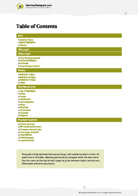
example page 2 from our offline Travel Guide for Bolivia
example page 3 from our offline Travel Guide for Bolivia
example page 4 from our offline Travel Guide for Bolivia
example page 5 from our offline Travel Guide for Bolivia
example page 6 from our offline Travel Guide for Bolivia
example page 7 from our offline Travel Guide for Bolivia
Loading the map 🌍
CLICK TO FILTER
cities
towns
landmarks
national parks
hikes
beaches
attractions
festivals
regions
SHOW COUNTRY’S BESTSHOW ALL

✨ Why go?
Ranked #13 national park in Bolivia
What makes it a must-see national park

Cotapata National Park rewards the independent walker because its pre-Hispanic stone paths run through one park with no tour required. The Choro Trail drops from a high pass above 4,600 meters to warm subtropical forest in a few days, so you cross several climate zones on foot and can set your own pace. Trailheads sit close enough to La Paz that you skip long overland trips and expensive operators. Villages along the route sell basic food and let you pitch a tent, so you can travel light. The pre-Columbian Sillutinkara road gives you space if the main route feels busy.

💡 HighlightsDon't-miss highlights and experiences

  1. Choro Trail: the park’s signature walk, a stone-paved Inca-era route that falls from the high Andean pass at La Cumbre through cloud forest toward the Yungas.
  2. La Cumbre Pass: the starting point, with wide views over the snowy peaks of the Cordillera Real on clear mornings.
  3. Chucura Valley: a deep forested valley along the trail, with waterfalls and camping spots beside the river.
  4. Sandillani and Challapampa villages: tiny settlements where locals sell meals and drinks and let hikers camp.
  5. Sillutinkara Trail: a quieter route with old stone steps and stretches of dense, mossy vegetation.
  6. Cloud forest birdlife: the humid middle sections hold tanagers, hummingbirds and, with luck, the Andean cock-of-the-rock.
  7. Coroico approach: the lower slopes finish in warm, humid forest near the town of Coroico, where
… read more 👉
  1. Choro Trail: the park’s signature walk, a stone-paved Inca-era route that falls from the high Andean pass at La Cumbre through cloud forest toward the Yungas.
  2. La Cumbre Pass: the starting point, with wide views over the snowy peaks of the Cordillera Real on clear mornings.
  3. Chucura Valley: a deep forested valley along the trail, with waterfalls and camping spots beside the river.
  4. Sandillani and Challapampa villages: tiny settlements where locals sell meals and drinks and let hikers camp.
  5. Sillutinkara Trail: a quieter route with old stone steps and stretches of dense, mossy vegetation.
  6. Cloud forest birdlife: the humid middle sections hold tanagers, hummingbirds and, with luck, the Andean cock-of-the-rock.
  7. Coroico approach: the lower slopes finish in warm, humid forest near the town of Coroico, where tired legs can rest.
Start with the Choro Trail from La Cumbre, because it is the park’s defining walk and the high start gives you the best views before the forest closes in.
Spotted a mistake or missing something? Contact us.

Things to do near Cotapata National Park

Ratings based on Tripadvisor reviews. When you book through this link, you support our work at no extra cost to you.

🌤️ When to go?When to go for the best experience

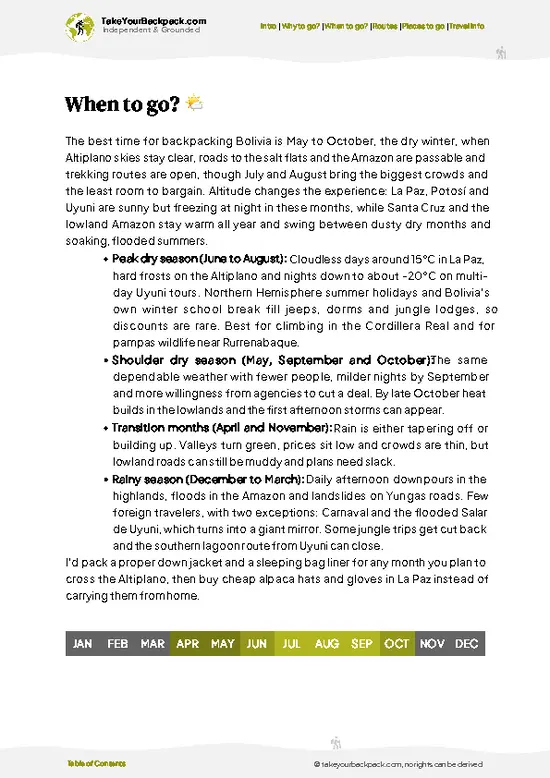
  • Dry Season (May to September): The Choro trail stays mostly firm, with days of 15 to 22°C (59 to 72°F) and frosty nights near 0°C (32°F) at La Cumbre. Daylight lasts about 11 to 12 hours. Crowds and guide prices peak in June to August.
  • Wet Season (December to March): Heavy cloud, mud and landslides on the lower Yungas sections. Temperatures run 10 to 25°C (50 to 77°F), and views of Chucura and Huayna Potosí often disappear.
  • Shoulder Months (April, October, November): Fewer hikers, greener forest, and showers that arrive mostly in the afternoon. Lodging costs stay flat.
Start hiking at first light, since afternoon cloud rolls in fast year-round.

source: climatestotravel.comJANJanuary: fair for travelingFEBFebruary: fair for travelingMARMarch: fair for travelingAPRApril: good for travelingMAYMay: excellent for travelingJUNJune: excellent for travelingJULJuly: highly recommended for travelingAUGAugust: highly recommended for travelingSEPSeptember: highly recommended for travelingOCTOctober: highly recommended for travelingNOVNovember: fair for travelingDECDecember: fair for traveling
when-to-go

✈️ The backpacker research shortcutBolivia Travel Guide

An offline-friendly backpacking guide with optimized travel routes, ranked highlights, transport advice, and the best areas to stay.
example page 0 from our offline Travel Guide for Bolivia
example page 1 from our offline Travel Guide for Bolivia
example page 2 from our offline Travel Guide for Bolivia
example page 3 from our offline Travel Guide for Bolivia
example page 4 from our offline Travel Guide for Bolivia
example page 5 from our offline Travel Guide for Bolivia
example page 6 from our offline Travel Guide for Bolivia
example page 7 from our offline Travel Guide for Bolivia
The digital guide (262 pages) contains:
✅ 76 highlights, ranked by travel appeal
✅ Optimized 7, 14 & 21-day travel routes
✅ Cities, national parks, landmarks, beaches
✅ How to get around
✅ Offline-friendly for travel without Wi-Fi
👉 Click to see all 30+ guide features

📅 Plan smarter in minutes, not weeks
✅ Month by month travel advice
✅ Festivals & national holidays
✅ Budget expectations

🗺️ Go to the right places, skip the overrated ones
✅ Honest pros & cons of destinations
✅ Top hikes, parks & viewpoints
✅ Lesser-known places most travelers miss
✅ Clear “worth it vs skip it” guidance

🛏️ Travel smoothly without rookie mistakes
✅ Best areas to stay
✅ Transport systems explained simply
✅ Common scams & safety advice
✅ SIM cards, money & practical tips

🌍 Understand the country, not just visit it
✅ Culture & traditions
✅ 52 Essential phrases & customs
✅ Festivals worth planning around
✅ Traveler-friendly historical context
✅ Insights that make places more meaningful

📱 Built for real travel conditions
✅ Fully downloadable PDF
✅ Works completely offline
✅ Optimized for phone use
✅ Useful in remote areas & buses
✅ Everything in one place
Stop searching, start planning
Get instant access to your full guide. 30‑day money-back guarantee.
+ Add another guide for just

By proceeding you agree to our terms.
Sent to your inbox immediately after payment • 100% Secure Checkout
Best Backpacking Travel Advisor 2025 tourism awardBest Backpacking
Travel Advisor
2025
What others say about Take Your Backpack Guides:
⭐⭐⭐⭐⭐
Fantastic, amazing amount of information!
⭐⭐⭐⭐⭐
My goodness this is amazing, it's what I've been looking for hats off too you!
⭐⭐⭐⭐⭐
I think this is absolutely BRILLIANT
⭐⭐⭐⭐
Very complete and informative. It's still missing places, but I gotta to commend you
⭐⭐⭐⭐⭐
This is truly amazing, thank you, can't wait to explore it with my kids!
⭐⭐⭐⭐⭐
Awesome resource, thank you!
⭐⭐⭐⭐⭐
This is amazing! Can't wait to explore the ones I haven't seen
⭐⭐⭐⭐
I love this! Well done, great idea.
⭐⭐⭐⭐⭐
Thanks for taking the time to make this gem!
⭐⭐⭐⭐⭐
This might be the best website I've ever seen.
⭐⭐⭐⭐⭐
Congratulations, and thank you so much for your work; it's incredibly valuable.
⭐⭐⭐⭐
In all seriousness I think you did a great job pointing out the important spots
⭐⭐⭐⭐⭐
10/10 very good
⭐⭐⭐⭐⭐
As someone who's only just starting to visit regularly this is awesome, thank you.
⭐⭐⭐⭐
Thank you very much! I'm going to visit my dad, it's going to be very useful!
⭐⭐⭐⭐⭐
This is really cool! We'll be travelling for the first time and this definitely come in handy.
⭐⭐⭐⭐⭐
You are now our minister of culture, congratulations 👨‍💼
⭐⭐⭐⭐⭐
Just wanted to tell you that this is a pearl! Going to follow your recommendations.
⭐⭐⭐⭐⭐
This is so cool. I'll definitely be using the resource for my travels soon.
⭐⭐⭐⭐⭐
This is very impressive! Good work.
⭐⭐⭐⭐⭐
This is an amazing and informative site. Very well done!

🛏️ Where to stay?Where staying makes the most sense

Most backpackers sleep in Coroico, a hillside town on the Yungas road about 3 hours by road from La Paz, where hostels with pools cost US$8 to 20 a bed. Inside the park there are no hotels, only simple community lodges and basic camp spots along the Choro trail, in villages like Chucura, Challapampa and Sandillani, at roughly US$4 to 10 per person, often with meals available for a few dollars more. Bring a sleeping bag for the high sections, because the nights are cold. Chulumani and Sorata are other bases, but they are far from the main trailheads. If you start from La Paz, a night in the city … read more 👉
Most backpackers sleep in Coroico, a hillside town on the Yungas road about 3 hours by road from La Paz, where hostels with pools cost US$8 to 20 a bed. Inside the park there are no hotels, only simple community lodges and basic camp spots along the Choro trail, in villages like Chucura, Challapampa and Sandillani, at roughly US$4 to 10 per person, often with meals available for a few dollars more. Bring a sleeping bag for the high sections, because the nights are cold. Chulumani and Sorata are other bases, but they are far from the main trailheads. If you start from La Paz, a night in the city before the early minibus to La Cumbre keeps the first morning easy. At the trail’s end, Chairo and Yolosa have a few basic rooms, and Coroico is a short shared ride away for a hot shower.

👛 Costs (as of 19 October 2026)Money, prices, and spending tips

A backpacker should plan on about US$42 a day for Cotapata National Park, including the Choro trek with basic lodging.
CategoryBudget RangeLocal Reality
Entrance feesUS$3 to 6Paid in bolivianos at checkpoints along the trail, plus small community fees in villages.
Accommodation (high season)US$5 to 12Camping or simple lodges on the trail; Coroico hostels cost more, from US$8 to 20.
Local transportUS$4 to 9Minibus from La Paz to La Cumbre and a shared ride from Chairo or Yolosa onward.
Food and suppliesUS$8 to 15Trail meals in villages cost US$3 to 5; bring snacks and water purification.
Guide (optional)US$10 to 20Group share of a guide for multi-day treks; the trail is well marked, so many go without one.
Total Daily BudgetUS$30 to 62About US$42 as a midpoint for one day on the trail.
⚠️ Prices can change and everyone travels differently, so take this as a rough guide. Hope it helps you plan your adventure!

🥾 TrailsHiking Cotapata national park: highlights and difficulty

Cotapata National Park offers walks from half-day strolls to multi-day treks through cliffs, ridges and cloud forest. Wildlife includes spectacled bears (rarely seen), many birds and butterflies.
  • Choro Trail: about 40 to 60 kilometers, usually 3 days, moderate to hard. It descends from roughly 4,650 meters to under 1,500 meters on Inca stone paving, dirt tracks and forest paths, with steep knee-punishing sections.
  • Sillutinkara Trail: a pre-Columbian road that branches off the Choro between Sandillani and the Río El Carmen.
Getting there is simple. Minibuses from La Paz head toward La Cumbre, and … read more 👉
Cotapata National Park offers walks from half-day strolls to multi-day treks through cliffs, ridges and cloud forest. Wildlife includes spectacled bears (rarely seen), many birds and butterflies.
  • Choro Trail: about 40 to 60 kilometers, usually 3 days, moderate to hard. It descends from roughly 4,650 meters to under 1,500 meters on Inca stone paving, dirt tracks and forest paths, with steep knee-punishing sections.
  • Sillutinkara Trail: a pre-Columbian road that branches off the Choro between Sandillani and the Río El Carmen.
Getting there is simple. Minibuses from La Paz head toward La Cumbre, and you can also take a taxi from the city. The Choro Trail is the busiest, especially in the dry months, but you will still often walk alone. Expect a small entrance fee, collected at checkpoints on the route, plus a village fee for camping. Carry cash, water purification and rain gear, since the forest is wet and the weather changes quickly.
⚠️ Hiking info can sometimes be outdated or inaccurate. Before you hit the trail, check the latest conditions with locals. If you do spot anything that's off, I'd love to hear from you, so I can update it for fellow travelers.

🛡️ SafetySafety Tips and Common Scams in Cotapata

Cotapata is straightforward with sensible preparation, and the main issue is altitude. The Choro trail starts at La Cumbre, around 4,650 meters (15,250 feet), so spend a night or two in La Paz first and walk slowly. Weather swings from freezing wind to humid jungle heat in a single day, so carry a rain shell, warm layers and sun protection. The long stone descent is hard on knees, and wet stone gets slippery, so trekking poles help. Landslides and stream crossings can appear in the rainy months, so ask locals about conditions. Wildlife is rarely a worry, though biting insects are common in the lower forest, so bring repellent. Carry offline maps, since signal is patchy.

FAQTraveler FAQ

Plan on 3 days for Cotapata National Park if you hike the Choro trail from La Cumbre to Chairo, which covers about 50 kilometers. Add a night in Coroico to recover. Short day hikes near La Cumbre take 3 to 5 hours.
Yes, Cotapata National Park is easy to reach without a car. Minibuses leave La Paz for La Cumbre in about 1 hour, and shared vans run from Yolosa and Chairo to Coroico and back to La Paz in about 3 hours. The Choro trail is walked end to end, so transport is only needed at the two ends.
Yes, Cotapata National Park charges a small entrance fee, around US$3 to 6, paid in bolivianos at checkpoints on the trail. Villages along the Choro also collect community fees of roughly US$1 to 3 each. No advance permit is needed for independent hiking, but keep your receipts for the checkpoints.
⚠️ Things can change over time, so always validate details locally before you go.

Other Bolivian national parks near Cotapata

Explore more nearby:


💡 Not sure where to go next?
Create a personalized itinerary for Bolivia including Cotapata and the places that fit your trip.

Generate my itinerary

👉 Discover all national parks

Or checkout all Bolivia has to offer (think cities, towns, villages, national parks, hikes, beaches, festivals)
Country photo of Bolivia

We 💚 feedbackKey takeaways before you go

Give Cotapata National Park three days if you want the full Choro descent, or two if you cut the final stretch. A single day only buys you the high start. I would bring rain gear and spare socks, and build in a rest day in Coroico before heading back.

✈️ When did I visit Bolivia?
Bolivia I visited during my half year trip through South and Central America back in 2003

✍️ Help improve this page!
The information on this page is based on my own backpacking experience in Bolivia, supplemented with up-to-date research and feedback from other travelers. Travel details can change, so if you notice anything outdated or incomplete, feel free to let me know.


🙋‍♂️ Give feedback

👋 Meet the founderWho’s Behind Take Your Backpack?

Johan, backpacker and founder of TakeYourBackpackHi, I’m Johan (Netherlands 🇳🇱), the creator of TakeYourBackpack. Over the past 3 decades, I’ve backpacked through 90+ countries across six continents, gaining extensive experience with independent travel, long-term trips, and overland routes.

This site is built on a combination of firsthand travel experience and carefully curated insights from other backpackers. Many guides are based on places I’ve personally visited, while others bring together tips, observations, and practical advice shared by trusted travelers I’ve met along the way.

The goal is to provide realistic, experience-driven guidance — not generic itineraries — so you can explore destinations with better context, clearer expectations, and more confidence.