
×

Guyana🇬🇾 | hikesTurtle Mountain TrailIwokrama rainforest, root-and-mud ascent, canopy-top rock lookout, howler monkeys | things to do and best time to go

Explore Rupununi SavannahsExplore Iwokrama Forest Reserve

Backpacking in Turtle Mountain Trail
🏆 Top pickhike ranked #1
By Johan Kruseman 🇳🇱 | Updated October 19, 2026

The payoff on Turtle Mountain Trail comes at the top, where a rock outcrop opens above the canopy and the Essequibo River shows as a brown ribbon through unbroken forest. Getting there is damp work. The path sits in the Iwokrama Forest, in the interior of Guyana, reached from the river landing near the Kurupukari crossing on the long road between Georgetown and Lethem. Expect red mud, root steps, a loud insect hum and the sweet rot of leaf litter, with howler monkeys sometimes roaring in the distance. The climb is steep but short, a half-day effort for anyone with ordinary fitness. Costs and delays catch people out in three places. Iwokrama requires a ranger guide and a permit, so arrange both through the reserve before you arrive. Buses along the interior road run at odd hours and often overnight, so confirm your drop-off with the driver. Rain turns the slope slick, so wear boots with grip. Unlike the open, savanna-edged Surama Mountain climb, this one stays inside tall forest almost to the summit.

Discover everything you want to know in the 📖 Guyana Travel Guide.
Best time to go: August - April
Duration: 4 hours
Distance: 6 kilometers
Total ascent: 250 meters


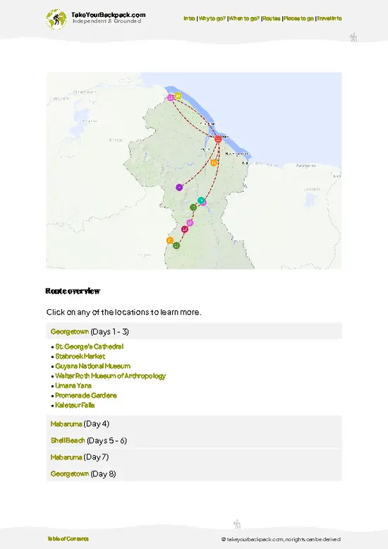
example page 0 from our offline Travel Guide for Guyana
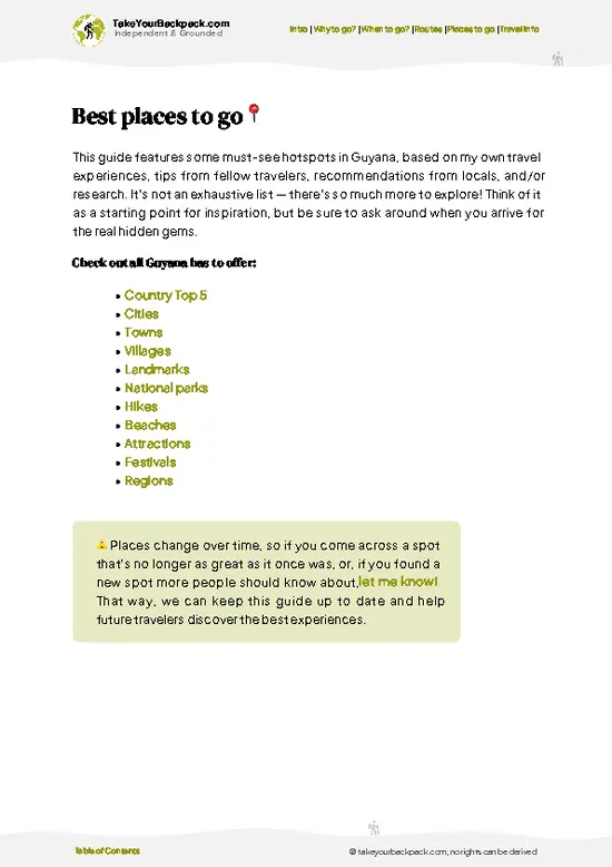
example page 1 from our offline Travel Guide for Guyana
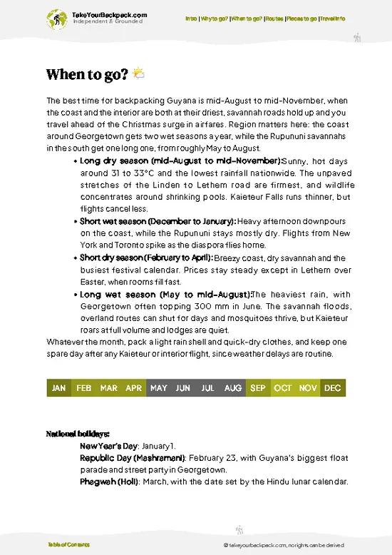
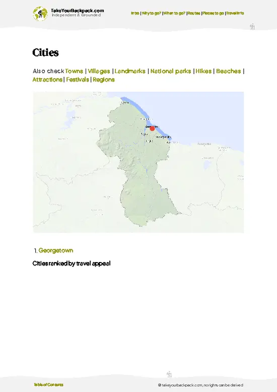
example page 2 from our offline Travel Guide for Guyana
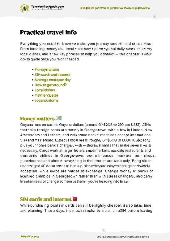
example page 3 from our offline Travel Guide for Guyana
example page 4 from our offline Travel Guide for Guyana
example page 5 from our offline Travel Guide for Guyana
example page 6 from our offline Travel Guide for Guyana
example page 7 from our offline Travel Guide for Guyana
Loading the map 🌍
CLICK TO FILTER
cities
towns
villages
landmarks
national parks
hikes
beaches
attractions
festivals
regions
SHOW COUNTRY’S BESTSHOW ALL

✨ Why go?
Ranked #1 hike in Guyana
Reasons people choose to hike the here

Turtle Mountain Trail gives you a climb through the Iwokrama Forest that ends above the canopy, which is rare in a country where most rainforest views come from a boat or a tower. The path rises steadily through tall forest, over roots and damp leaf litter, and finishes on a rocky crown where the treetops spread out below you like a green floor. Howler monkeys often announce the morning from somewhere in the trees, and the call carries a long way.

The approach suits independent travelers. The trail sits near the Essequibo River crossing at Kurupukari, along the road that links the coast with the Rupununi savannas, so it slots easily into an overland trip between the two. Overnight lodging in the reserve puts you close to the start, and local rangers guide the route, which keeps you on the … read more 👉
Turtle Mountain Trail gives you a climb through the Iwokrama Forest that ends above the canopy, which is rare in a country where most rainforest views come from a boat or a tower. The path rises steadily through tall forest, over roots and damp leaf litter, and finishes on a rocky crown where the treetops spread out below you like a green floor. Howler monkeys often announce the morning from somewhere in the trees, and the call carries a long way.

The approach suits independent travelers. The trail sits near the Essequibo River crossing at Kurupukari, along the road that links the coast with the Rupununi savannas, so it slots easily into an overland trip between the two. Overnight lodging in the reserve puts you close to the start, and local rangers guide the route, which keeps you on the correct track where the forest closes in.

It works as a half-day outing rather than a major expedition. That flexibility lets you add a river trip or a night walk the same stay, and the shaded summit viewpoint over unbroken forest is the reason to bring a camera and start early.

💡 HighlightsTop highlights of Turtle Mountain Trail

  1. The summit lookout. A bare rock platform at the top clears the canopy, giving a wide view over unbroken Iwokrama forest and the Essequibo bending below. Early morning brings mist lifting off the treetops and the calls of parrots and macaws passing overhead.
  2. The Essequibo River view. From the upper section you can pick out the river’s wide brown course, one of the great waterways of South America, cutting through the green. It gives the climb a sense of place that a plain forest walk lacks.
  3. The steep root-and-rock ascent. The middle stretch climbs sharply over buttress roots, wet stone and clay. It is hard going, but the ranger will point out medicinal plants and fruit trees on the way, and the humidity and shade make the effort part of the experience.
  4. Primate and bird encounters. Red howler monkeys,
… read more 👉
  1. The summit lookout. A bare rock platform at the top clears the canopy, giving a wide view over unbroken Iwokrama forest and the Essequibo bending below. Early morning brings mist lifting off the treetops and the calls of parrots and macaws passing overhead.
  2. The Essequibo River view. From the upper section you can pick out the river’s wide brown course, one of the great waterways of South America, cutting through the green. It gives the climb a sense of place that a plain forest walk lacks.
  3. The steep root-and-rock ascent. The middle stretch climbs sharply over buttress roots, wet stone and clay. It is hard going, but the ranger will point out medicinal plants and fruit trees on the way, and the humidity and shade make the effort part of the experience.
  4. Primate and bird encounters. Red howler monkeys, black spider monkeys and brown capuchins live in this forest, and toucans, trogons and macaws are regular sightings. Listen for the howlers first, since you usually hear them long before you see them.
  5. The lower forest floor. The first section runs through tall, shaded forest with giant trees, lianas and palms. Look for agouti tracks, leafcutter ant columns and the occasional large cat print on the muddy stretches, a reminder that jaguars range through the reserve.
Most visitors rush the lower forest floor to reach the top, yet the base section is where you are most likely to hear or spot ground-dwelling wildlife, so slow down there.
Spotted a mistake or missing something? Contact us.

Things to do near Turtle Mountain Trail

Ratings based on Tripadvisor reviews. When you book through this link, you support our work at no extra cost to you.

🌤️ When to go?Choosing the right time of year

  • Main Dry Season (September to November): This is the most reliable window for Turtle Mountain Trail, with the driest trails and the clearest views from the summit. Days run 30 to 34°C (86 to 93°F), nights drop to 22 to 24°C (72 to 75°F), and daylight holds close to 12 hours.
  • Short Dry Spell (February to March): A second, smaller dry period with similar heat and firm footing. Guides and lodges fill up around Easter and school holidays, so book transport early.
  • Main Wet Season (May to July): Heavy downpours turn the access tracks to red mud, creeks swell and the approach can become impassable. Temperatures sit at 24 to 31°C (75 to 88°F), humidity is high, and lodging and guide rates are often lower. Insects are at their worst.
  • Short Wet Season (December to January): Showers come in bursts and are
… read more 👉
  • Main Dry Season (September to November): This is the most reliable window for Turtle Mountain Trail, with the driest trails and the clearest views from the summit. Days run 30 to 34°C (86 to 93°F), nights drop to 22 to 24°C (72 to 75°F), and daylight holds close to 12 hours.
  • Short Dry Spell (February to March): A second, smaller dry period with similar heat and firm footing. Guides and lodges fill up around Easter and school holidays, so book transport early.
  • Main Wet Season (May to July): Heavy downpours turn the access tracks to red mud, creeks swell and the approach can become impassable. Temperatures sit at 24 to 31°C (75 to 88°F), humidity is high, and lodging and guide rates are often lower. Insects are at their worst.
  • Short Wet Season (December to January): Showers come in bursts and are usually manageable. Cooler mornings of about 22°C (72°F) make climbing pleasant, but holiday demand lifts prices.
Start climbing at first light in any season, since the midday sun on the open rock is punishing and afternoon storms build quickly.


source: climatestotravel.comJANJanuary: good for travelingFEBFebruary: good for travelingMARMarch: good for travelingAPRApril: good for travelingMAYMay: fair for travelingJUNJune: fair for travelingJULJuly: fair for travelingAUGAugust: excellent for travelingSEPSeptember: excellent for travelingOCTOctober: highly recommended for travelingNOVNovember: highly recommended for travelingDECDecember: good for traveling
guyana-hike-turtle-mountain-trail
© Google |

✈️ The backpacker research shortcutGuyana Travel Guide

An offline-friendly backpacking guide with optimized travel routes, ranked highlights, transport advice, and the best areas to stay.
example page 0 from our offline Travel Guide for Guyana
example page 1 from our offline Travel Guide for Guyana
example page 2 from our offline Travel Guide for Guyana
example page 3 from our offline Travel Guide for Guyana
example page 4 from our offline Travel Guide for Guyana
example page 5 from our offline Travel Guide for Guyana
example page 6 from our offline Travel Guide for Guyana
example page 7 from our offline Travel Guide for Guyana
The digital guide (161 pages) contains:
✅ 43 highlights, ranked by travel appeal
✅ Optimized 5, 10 & 15-day travel routes
✅ Cities, national parks, landmarks, beaches
✅ How to get around
✅ Offline-friendly for travel without Wi-Fi
👉 Click to see all 30+ guide features

📅 Plan smarter in minutes, not weeks
✅ Month by month travel advice
✅ Festivals & national holidays
✅ Budget expectations

🗺️ Go to the right places, skip the overrated ones
✅ Honest pros & cons of destinations
✅ Top hikes, parks & viewpoints
✅ Lesser-known places most travelers miss
✅ Clear “worth it vs skip it” guidance

🛏️ Travel smoothly without rookie mistakes
✅ Best areas to stay
✅ Transport systems explained simply
✅ Common scams & safety advice
✅ SIM cards, money & practical tips

🌍 Understand the country, not just visit it
✅ Culture & traditions
✅ Local customs
✅ Festivals worth planning around
✅ Traveler-friendly historical context
✅ Insights that make places more meaningful

📱 Built for real travel conditions
✅ Fully downloadable PDF
✅ Works completely offline
✅ Optimized for phone use
✅ Useful in remote areas & buses
✅ Everything in one place
Stop searching, start planning
Get instant access to your full guide. 30‑day money-back guarantee.
+ Add another guide for just

By proceeding you agree to our terms.
Sent to your inbox immediately after payment • 100% Secure Checkout
Best Backpacking Travel Advisor 2025 tourism awardBest Backpacking
Travel Advisor
2025
What others say about Take Your Backpack Guides:
⭐⭐⭐⭐⭐
Fantastic, amazing amount of information!
⭐⭐⭐⭐⭐
My goodness this is amazing, it's what I've been looking for hats off too you!
⭐⭐⭐⭐⭐
I think this is absolutely BRILLIANT
⭐⭐⭐⭐
Very complete and informative. It's still missing places, but I gotta to commend you
⭐⭐⭐⭐⭐
This is truly amazing, thank you, can't wait to explore it with my kids!
⭐⭐⭐⭐⭐
Awesome resource, thank you!
⭐⭐⭐⭐⭐
This is amazing! Can't wait to explore the ones I haven't seen
⭐⭐⭐⭐
I love this! Well done, great idea.
⭐⭐⭐⭐⭐
Thanks for taking the time to make this gem!
⭐⭐⭐⭐⭐
This might be the best website I've ever seen.
⭐⭐⭐⭐⭐
Congratulations, and thank you so much for your work; it's incredibly valuable.
⭐⭐⭐⭐
In all seriousness I think you did a great job pointing out the important spots
⭐⭐⭐⭐⭐
10/10 very good
⭐⭐⭐⭐⭐
As someone who's only just starting to visit regularly this is awesome, thank you.
⭐⭐⭐⭐
Thank you very much! I'm going to visit my dad, it's going to be very useful!
⭐⭐⭐⭐⭐
This is really cool! We'll be travelling for the first time and this definitely come in handy.
⭐⭐⭐⭐⭐
You are now our minister of culture, congratulations 👨‍💼
⭐⭐⭐⭐⭐
Just wanted to tell you that this is a pearl! Going to follow your recommendations.
⭐⭐⭐⭐⭐
This is so cool. I'll definitely be using the resource for my travels soon.
⭐⭐⭐⭐⭐
This is very impressive! Good work.
⭐⭐⭐⭐⭐
This is an amazing and informative site. Very well done!

🛏️ Where to stay?How to pick the right area

If you enjoy meeting fellow travelers, consider choosing hostels with high ratings for atmosphere. On the other hand, if you prefer having your own space, a hotel might be a better option.

🥾 Hike detailsA practical overview of the hike

Turtle Mountain Trail is a ranger-guided forest climb in the Iwokrama Reserve, roughly 6 kilometers there and back, ending on an open summit above the canopy.
Total Distance: About 6 kilometers round trip, though trail lengths are approximate.
Estimated Duration: 3 to 4 hours including time at the top, more if you stop often for birds and monkeys.
Difficulty: Moderate to strenuous. The path is short, but the climb is steep, humid and often slippery.
Starting Point: The trail begins at a landing on the Essequibo, a 15 to 30 minute boat ride from Iwokrama River Lodge near the Kurupukari crossing. Buses
… read more 👉
Turtle Mountain Trail is a ranger-guided forest climb in the Iwokrama Reserve, roughly 6 kilometers there and back, ending on an open summit above the canopy.
Total Distance: About 6 kilometers round trip, though trail lengths are approximate.
Estimated Duration: 3 to 4 hours including time at the top, more if you stop often for birds and monkeys.
Difficulty: Moderate to strenuous. The path is short, but the climb is steep, humid and often slippery.
Starting Point: The trail begins at a landing on the Essequibo, a 15 to 30 minute boat ride from Iwokrama River Lodge near the Kurupukari crossing. Buses between Georgetown and Lethem pass the junction, and the lodge can arrange the ranger and transfer.
Major Landmarks:
  • Lower forest: Tall, shaded woodland with large buttress-rooted trees and a dim, damp floor.
  • Steep middle section: Roots, clay and rock steps that need careful footing.
  • Summit outcrop: A rock lookout above the canopy with views of the forest and the Essequibo.
Terrain and Scenery: Packed red earth and mud at the base, then rock and root stairs. Expect sweat and mist at the top in the early hours, with dense green in every direction.
Vegetation: Primary lowland rainforest with large hardwoods, palms, vines, ferns and moss on the shaded rock.
Wildlife:
  • Mammals: Red howler monkeys, black spider monkeys, capuchins, agoutis and occasionally larger animals such as tapir or jaguar tracks.
  • Birds: Toucans, macaws, parrots, trogons and raptors soaring above the canopy from the viewpoint.
  • Small life: Leafcutter ants, frogs and butterflies along the path.
What to Bring: Closed shoes with grip, at least 2 liters of water, insect repellent, a light rain jacket and a small towel for sweat.
⚠️ Hiking info can sometimes be outdated or inaccurate. Before you hit the trail, check the latest conditions with locals. If you do spot anything that's off, I'd love to hear from you, so I can update it for fellow travelers.

🛡️ SafetyTraveler Safety Guide

Turtle Mountain Trail is a moderate, manageable hike, and the main hazards are heat, slick rock and getting a late start. Temperatures climb fast, so begin at dawn, carry at least 3 liters of water per person and wear a hat with long, light layers. After rain, the granite slabs and root-laced sections become greasy, so wear boots or shoes with real tread and slow down on descents. The path is not always clearly marked, which is why a local guide from a nearby village is the sensible choice rather than relying on a phone map with weak signal. Wildlife is mostly heard rather than seen: howler monkeys, birds and the occasional snake sunning on the path. Watch where you step and place your hands, give any animal space and never feed anything. Insect repellent, a small first aid kit and a headlamp … read more 👉
Turtle Mountain Trail is a moderate, manageable hike, and the main hazards are heat, slick rock and getting a late start. Temperatures climb fast, so begin at dawn, carry at least 3 liters of water per person and wear a hat with long, light layers. After rain, the granite slabs and root-laced sections become greasy, so wear boots or shoes with real tread and slow down on descents. The path is not always clearly marked, which is why a local guide from a nearby village is the sensible choice rather than relying on a phone map with weak signal. Wildlife is mostly heard rather than seen: howler monkeys, birds and the occasional snake sunning on the path. Watch where you step and place your hands, give any animal space and never feed anything. Insect repellent, a small first aid kit and a headlamp are the items first-timers most often forget. Tell your lodge when you expect to return.

FAQCommon questions from travelers

Turtle Mountain Trail takes roughly 3 to 4 hours as a round trip, including the short boat crossing of the Essequibo River from the Iwokrama River Lodge landing. The climb itself covers about 3 kilometers (2 miles) each way, with the ascent taking 1 to 1.5 hours at a steady pace. Most groups spend 20 to 30 minutes at the summit, which stands around 290 meters (950 feet) above the river. Starting by 6 or 7 a.m. keeps the climb in the cooler part of the day.
Turtle Mountain Trail is moderate: short in distance but steep and humid, with roots, loose soil and some scrambling on the upper slopes. The trail climbs about 250 to 300 meters (820 to 985 feet) through rainforest, and after rain the clay sections turn slick. A reasonable level of fitness is enough, and no technical skills are needed. Carry at least 1.5 liters of water per person and wear shoes with real tread.
Yes, Turtle Mountain Trail is done with a ranger or guide arranged through Iwokrama, whose staff run the boat crossing and lead the climb. Iwokrama charges a daily visitor fee, usually in the range of US$ 10 to 20, and the guided hike is typically priced around US$ 20 to 50 per person depending on group size. Book through the Iwokrama River Lodge near Kurupukari, or via the Iwokrama office in Georgetown, ahead of arrival. There is no separate government permit to organize yourself.
⚠️ Things can change over time, so always validate details locally before you go.

Ideas for continuing your journey

Turtle Mountain Trail isn’t the only highlight in Guyana. Explore all what Guyana has to offer.
Country photo of Guyana

We 💚 feedbackKey takeaways before you go

Turtle Mountain Trail works best as the jungle half of an Iwokrama stop, paired with a river trip or night walk and then the savannas and villages of the Rupununi farther south. I would go at first light, bring a dry shirt for the top, and skip hurrying so the ranger can show you the forest on the way up.

✍️ Help improve this page!
The information on this page is based on in-depth research, insights shared by experienced travelers, and feedback from the local travel community in Guyana. While every effort is made to keep the information accurate and current, conditions can change — so if you spot anything incorrect or outdated, please get in touch.


🙋‍♂️ Give feedback

👋 Meet the founderWho’s Behind Take Your Backpack?

Johan, backpacker and founder of TakeYourBackpackHi, I’m Johan (Netherlands 🇳🇱), the creator of TakeYourBackpack. Over the past 3 decades, I’ve backpacked through 90+ countries across six continents, gaining extensive experience with independent travel, long-term trips, and overland routes.

This site is built on a combination of firsthand travel experience and carefully curated insights from other backpackers. Many guides are based on places I’ve personally visited, while others bring together tips, observations, and practical advice shared by trusted travelers I’ve met along the way.

The goal is to provide realistic, experience-driven guidance — not generic itineraries — so you can explore destinations with better context, clearer expectations, and more confidence.