×

Mexico🇲🇽 | national parksVolcán Nevado de Colima4,260-meter summit, Fuego smoke views, La Joya camp, crater lake | things to do and best time to go

Explore Cabo PulmoExplore El Cielo Biosphere Reserve

Backpacking in Volcán Nevado de Colima
👀 For curious travelersnational park ranked #27
By Johan Kruseman 🇳🇱 | Updated October 20, 2026

The pickup truck ahead of us stopped dead on the dirt road, and its driver waved us past with a shrug and a grin, because the cattle had right of way. That was the road to Volcán Nevado de Colima, in the state of Jalisco in western Mexico, southwest of Guadalajara. Pine forest, a rutted track and a snow-dusted summit await, plus few crowds and almost no signage. Spend day one reaching the trailhead and hiking up through the pines for the first views.

Discover everything you want to know in the 📖 Mexico Travel Guide.


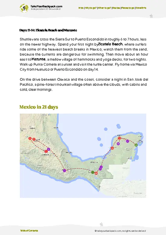
example page 0 from our offline Travel Guide for Mexico
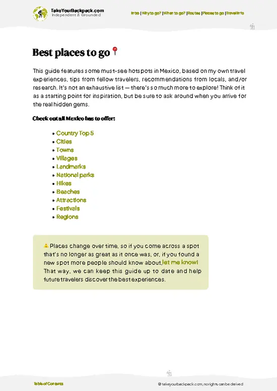
example page 1 from our offline Travel Guide for Mexico
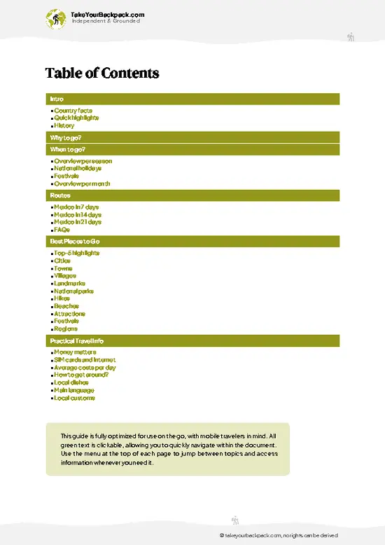
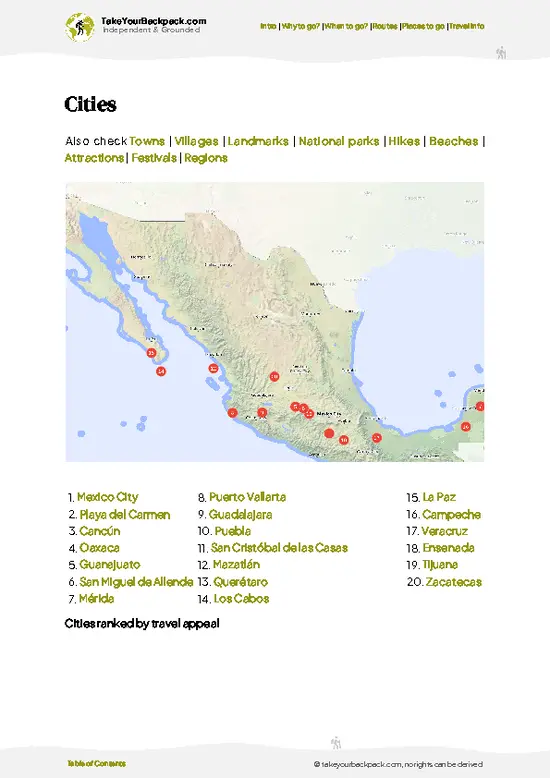
example page 2 from our offline Travel Guide for Mexico
example page 3 from our offline Travel Guide for Mexico
example page 4 from our offline Travel Guide for Mexico
example page 5 from our offline Travel Guide for Mexico
example page 6 from our offline Travel Guide for Mexico
example page 7 from our offline Travel Guide for Mexico
Loading the map 🌍
CLICK TO FILTER
cities
towns
villages
landmarks
national parks
hikes
beaches
attractions
festivals
regions
SHOW COUNTRY’S BESTSHOW ALL

✨ Why go?
Ranked #27 national park in Mexico
What sets this place apart

Volcán Nevado de Colima suits backpackers who like a 4,260-meter summit without a booking system or guide queue. You pick your own pace and route, and the park's pine and fir forest makes for quiet walking, with the neighboring Volcán de Fuego smoking on the horizon. Camping is simple and the mountain draws far fewer people than Mexico's famous peaks. Self-guided hikers do well here, as long as they are comfortable with rough tracks and little infrastructure.

💡 HighlightsMust-see experiences and standout moments

  1. Nevado de Colima summit: the 4,260-meter high point, reached on a long day hike or after a night camping, with views across Jalisco and Colima.
  2. Volcán de Fuego views: from the upper slopes you can watch the active Fuego de Colima smoke to the south, a rare sight from a quiet trail.
  3. La Joya meadow: a high grassy clearing near the trailhead where people camp and start their climbs.
  4. Pine and fir forest: the dense stands on the lower slopes are cool, resin-scented and full of birdsong.
  5. Laguna La María: a small crater lake in the forest, reached by a short drive and a gentle walk, good for a picnic.
  6. Alpine meadows and wildflowers: the open slopes above the treeline are covered in grass and flowers in the wet months.
Laguna La María and the forest walk fit well into one relaxed day, leaving the summit for another.
Spotted a mistake or missing something? Contact us.

Things to do near Volcán Nevado de Colima

Ratings based on Tripadvisor reviews. When you book through this link, you support our work at no extra cost to you.

🌤️ When to go?Choosing the right time of year

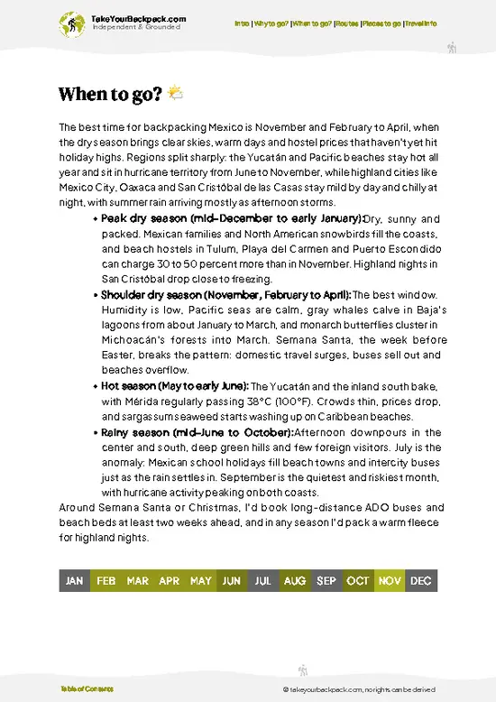
November to May is the window for climbing Volcán Nevado de Colima, with mostly dry trails and open access roads.
  • Winter (Dec to Feb): Clearest views, 2 to -5°C (36 to 23°F) at the 4,260 m summit, occasional frost or snow, days of roughly 11 hours of light.
  • Spring (Mar to May): Dry and milder, 5 to 12°C (41 to 54°F) up high, busiest on weekends and Easter week.
  • Rainy Season (Jun to Oct): Afternoon storms and fog, 3 to 10°C (37 to 50°F) up high, quiet trails, cabin rates unchanged.
Start hiking at dawn, since cloud builds by midday year-round.

source: climatestotravel.comJANJanuary: excellent for travelingFEBFebruary: excellent for travelingMARMarch: excellent for travelingAPRApril: highly recommended for travelingMAYMay: fair for travelingJUNJune: fair for travelingJULJuly: below average for travelingAUGAugust: below average for travelingSEPSeptember: fair for travelingOCTOctober: fair for travelingNOVNovember: excellent for travelingDECDecember: highly recommended for traveling
when-to-go

✈️ The backpacker research shortcutMexico Travel Guide

An offline-friendly backpacking guide with optimized travel routes, ranked highlights, transport advice, and the best areas to stay.
example page 0 from our offline Travel Guide for Mexico
example page 1 from our offline Travel Guide for Mexico
example page 2 from our offline Travel Guide for Mexico
example page 3 from our offline Travel Guide for Mexico
example page 4 from our offline Travel Guide for Mexico
example page 5 from our offline Travel Guide for Mexico
example page 6 from our offline Travel Guide for Mexico
example page 7 from our offline Travel Guide for Mexico
The digital guide (402 pages) contains:
✅ 138 highlights, ranked by travel appeal
✅ Optimized 7, 14 & 21-day travel routes
✅ Cities, national parks, landmarks, beaches
✅ How to get around
✅ Offline-friendly for travel without Wi-Fi
👉 Click to see all 30+ guide features

📅 Plan smarter in minutes, not weeks
✅ Month by month travel advice
✅ Festivals & national holidays
✅ Budget expectations

🗺️ Go to the right places, skip the overrated ones
✅ Honest pros & cons of destinations
✅ Top hikes, parks & viewpoints
✅ Lesser-known places most travelers miss
✅ Clear “worth it vs skip it” guidance

🛏️ Travel smoothly without rookie mistakes
✅ Best areas to stay
✅ Transport systems explained simply
✅ Common scams & safety advice
✅ SIM cards, money & practical tips

🌍 Understand the country, not just visit it
✅ Culture & traditions
✅ 52 Essential phrases & customs
✅ Festivals worth planning around
✅ Traveler-friendly historical context
✅ Insights that make places more meaningful

📱 Built for real travel conditions
✅ Fully downloadable PDF
✅ Works completely offline
✅ Optimized for phone use
✅ Useful in remote areas & buses
✅ Everything in one place
Stop searching, start planning
Get instant access to your full guide. 30‑day money-back guarantee.
+ Add another guide for just

By proceeding you agree to our terms.
Sent to your inbox immediately after payment • 100% Secure Checkout
Best Backpacking Travel Advisor 2025 tourism awardBest Backpacking
Travel Advisor
2025
What others say about Take Your Backpack Guides:
⭐⭐⭐⭐⭐
Fantastic, amazing amount of information!
⭐⭐⭐⭐⭐
My goodness this is amazing, it's what I've been looking for hats off too you!
⭐⭐⭐⭐⭐
I think this is absolutely BRILLIANT
⭐⭐⭐⭐
Very complete and informative. It's still missing places, but I gotta to commend you
⭐⭐⭐⭐⭐
This is truly amazing, thank you, can't wait to explore it with my kids!
⭐⭐⭐⭐⭐
Awesome resource, thank you!
⭐⭐⭐⭐⭐
This is amazing! Can't wait to explore the ones I haven't seen
⭐⭐⭐⭐
I love this! Well done, great idea.
⭐⭐⭐⭐⭐
Thanks for taking the time to make this gem!
⭐⭐⭐⭐⭐
This might be the best website I've ever seen.
⭐⭐⭐⭐⭐
Congratulations, and thank you so much for your work; it's incredibly valuable.
⭐⭐⭐⭐
In all seriousness I think you did a great job pointing out the important spots
⭐⭐⭐⭐⭐
10/10 very good
⭐⭐⭐⭐⭐
As someone who's only just starting to visit regularly this is awesome, thank you.
⭐⭐⭐⭐
Thank you very much! I'm going to visit my dad, it's going to be very useful!
⭐⭐⭐⭐⭐
This is really cool! We'll be travelling for the first time and this definitely come in handy.
⭐⭐⭐⭐⭐
You are now our minister of culture, congratulations 👨‍💼
⭐⭐⭐⭐⭐
Just wanted to tell you that this is a pearl! Going to follow your recommendations.
⭐⭐⭐⭐⭐
This is so cool. I'll definitely be using the resource for my travels soon.
⭐⭐⭐⭐⭐
This is very impressive! Good work.
⭐⭐⭐⭐⭐
This is an amazing and informative site. Very well done!

🛏️ Where to stay?Choosing the right base

The most practical base is Ciudad Guzmán, about 1 to 1.5 hours by road from the park gate, where simple hotels run US$25 to 50 a night. Inside the park, basic mountain cabins and a camping area at La Joya (around 3,500 m) cost US$5 to 15 per person, though you need your own sleeping bag and stove. Colima city, roughly 2 hours away, has hostels at US$12 to 20 a dorm bed. Zapotlán el Grande and Atenquique also have small guesthouses. Book ahead for weekends, and sleep at La Joya the night before a summit push to acclimatize.

👛 Costs (as of 20 October 2026)What things cost and how to budget

A day at Volcán Nevado de Colima runs about US$25 to 59 for a backpacker, with accommodation as the largest item. Travelers pay in Mexican pesos, and cash is needed at the gate.
CategoryBudget RangeLocal Reality
Entrance feeUS$2 to 4Small per-person fee collected at the park gate
AccommodationUS$5 to 15Cabin bunk or camping at La Joya; hotels in Ciudad Guzmán cost more
Local transportUS$10 to 25Bus to Ciudad Guzmán, then shared taxi or a hired 4x4 truck for the rough road to La Joya
Food and suppliesUS$8 to 15Stock up in town; no shops near the trailhead
Total Daily BudgetUS$25 to 59Based on high-season rates


source: gob.mx
⚠️ Prices can change and everyone travels differently, so take this as a rough guide. Hope it helps you plan your adventure!

🥾 TrailsExploring Volcán Nevado de Colima: trails, terrain, and views

Volcán Nevado de Colima offers one main objective: the summit climb, with side walks at lower elevations.
  • Summit route from La Joya: the standard ascent, a long day on a steep, loose volcanic track. Allow roughly 6 to 9 hours round trip, with the altitude making it hard.
  • Forest walks: gentle trails through pine and fir, easy underfoot and good for a couple of hours.
  • Laguna La María: a short, easy walk of about an hour to a quiet crater lake.
  • Terrain: volcanic gravel, rock, grass and dense forest, with few signs, so a map or GPS helps.
  • Wildlife: birds, small mammals and occasional deer in the forest.
… read more 👉
Volcán Nevado de Colima offers one main objective: the summit climb, with side walks at lower elevations.
  • Summit route from La Joya: the standard ascent, a long day on a steep, loose volcanic track. Allow roughly 6 to 9 hours round trip, with the altitude making it hard.
  • Forest walks: gentle trails through pine and fir, easy underfoot and good for a couple of hours.
  • Laguna La María: a short, easy walk of about an hour to a quiet crater lake.
  • Terrain: volcanic gravel, rock, grass and dense forest, with few signs, so a map or GPS helps.
  • Wildlife: birds, small mammals and occasional deer in the forest.
The park is reached by car or taxi from Ciudad Guzmán, and public transport stops well short of the trailhead, so many hikers arrange a ride. Weekends bring a few local groups, but weekdays are quiet. Roads can be rough. Check current entry rules locally, as the park has had limited access at times.
⚠️ Hiking info can sometimes be outdated or inaccurate. Before you hit the trail, check the latest conditions with locals. If you do spot anything that's off, I'd love to hear from you, so I can update it for fellow travelers.

🛡️ SafetyTraveler Safety Guide

The main risks on Volcán Nevado de Colima are altitude and weather, not people or animals. The summit tops 4,200 m, so spend a night at La Joya first and keep a slow pace to avoid headaches. Fog and lightning roll in by early afternoon, so summit in the morning. Trails over loose volcanic gravel are easy to lose in cloud, so carry a downloaded map. Pack layers, sun protection and at least 3 liters of water, since none is available above the cabins. Volcán de Fuego next door is active, so heed any closure notices.

FAQFrequently asked questions about Volcán Nevado de Colima

Two days is the practical minimum for Volcán Nevado de Colima. Spend day one getting to La Joya at about 3,500 m and acclimatizing, then climb the 4,260 m summit the next morning, roughly 4 to 6 hours round trip. A third day adds time for the neighboring peaks or the lagoon walks.
Yes, but it takes some effort for Volcán Nevado de Colima. Buses reach Ciudad Guzmán from Guadalajara (about 2.5 hours) and Colima (about 2 hours), but the 25 to 30 km rough road up to La Joya has no regular service. Hire a local 4x4 truck for roughly US$40 to 80 per vehicle, or hitch with weekend hikers.
Yes, Volcán Nevado de Colima charges a small entrance fee of roughly US$2 to 4 per person, paid in cash at the gate. Camping and cabin use at La Joya carry an extra charge of about US$5 to 15. No special summit permit is usually required, but check for closures tied to volcanic activity at neighboring Volcán de Fuego.
⚠️ Things can change over time, so always validate details locally before you go.

Other Mexican national parks near Volcán Nevado de Colima

Explore more nearby:

  • Sierra de Manantlán—Teosinte fields, Las Joyas forest, Cuzalapa falls, Nahua highlands| 54 km away
  • Sierra de Quila—Oak-pine forest, Cerro El Chapulín, Las Tarjeas waterfall, boulder fields| 94 km away
  • Barranca del Cupatitzio—Rodilla del Diablo spring, river stairs, trout ponds, Uruapan edge| 162 km away

💡 Not sure where to go next?
Create a personalized itinerary for Mexico including Volcán Nevado de Colima and the places that fit your trip.

Generate my itinerary

👉 Discover all national parks

Or checkout all Mexico has to offer (think cities, towns, villages, national parks, hikes, beaches, festivals)
Country photo of Mexico

We 💚 feedbackWhat to keep in mind

Volcán Nevado de Colima is best on a dry-season weekday morning, when the forest is quiet and the summit is usually clear before clouds build. I would start at first light and carry warm layers for the top.

✈️ When did I visit Mexico?
As part of my 1.5 year travel around the world trip, I visited Mexico in February and March 2016. Had to hurry a bit as I didn’t want to miss the free performance of the Rolling Stones in Cuba.

✍️ Help improve this page!
The information on this page is based on my own backpacking experience in Mexico, supplemented with up-to-date research and feedback from other travelers. Travel details can change, so if you notice anything outdated or incomplete, feel free to let me know.


🙋‍♂️ Give feedback

👋 Meet the founderWho’s Behind Take Your Backpack?

Johan, backpacker and founder of TakeYourBackpackHi, I’m Johan (Netherlands 🇳🇱), the creator of TakeYourBackpack. Over the past 3 decades, I’ve backpacked through 90+ countries across six continents, gaining extensive experience with independent travel, long-term trips, and overland routes.

This site is built on a combination of firsthand travel experience and carefully curated insights from other backpackers. Many guides are based on places I’ve personally visited, while others bring together tips, observations, and practical advice shared by trusted travelers I’ve met along the way.

The goal is to provide realistic, experience-driven guidance — not generic itineraries — so you can explore destinations with better context, clearer expectations, and more confidence.