
×

Paraguay🇵🇾 | hikesCerro AkatíMirador Akatí, Ita Letra stone, red-earth approach road, shaded forest ascent | things to do and best time to go

Explore Cerro Tres KandúExplore Areguá Hill Trail

Backpacking in Cerro Akatí
👀 For curious travelershike ranked #14
By Johan Kruseman 🇳🇱 | Updated November 17, 2026

The Ita Letra path, a stone with lettering reached on foot near the summit trail, is the small curiosity tied to Cerro Akatí. The hill sits in the Ybytyruzú area of Guairá department, in the southeast of Paraguay, about 10 km north of Cerro Tres Kandú, reached from Melgarejo by the Camino a Cerro Akatí. Villarrica is the nearest base. I arrived to a quiet dirt road, red earth, and a wall of forest that made the hill look closer than it was. Public transport stops at Melgarejo, so the last stretch is slow. Walkers who like quiet forest hills will enjoy it; anyone wanting signed trails and services will not.

Part of Backpacking in Paraguay: all 65 places on one map, with routes and the best time to go.
Discover everything you want to know in the 📖 Paraguay Travel Guide.
Best time to go: May - September
Duration: 4 hours
Distance: 8 kilometers
Total ascent: 350 meters


example page 0 from our offline Travel Guide for Paraguay
example page 1 from our offline Travel Guide for Paraguay
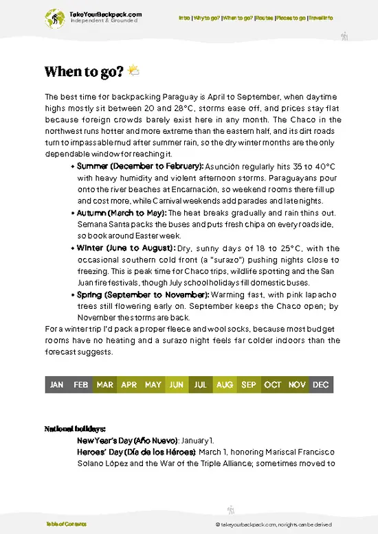
example page 2 from our offline Travel Guide for Paraguay
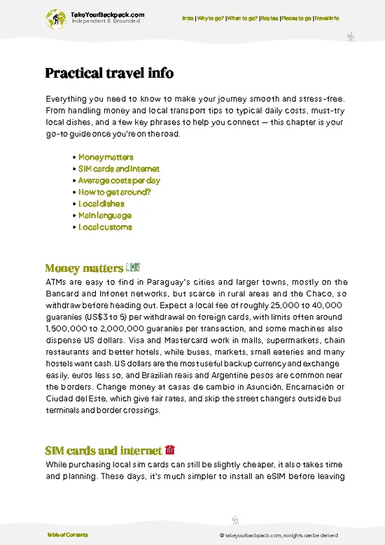
example page 3 from our offline Travel Guide for Paraguay
example page 4 from our offline Travel Guide for Paraguay
example page 5 from our offline Travel Guide for Paraguay
example page 6 from our offline Travel Guide for Paraguay
example page 7 from our offline Travel Guide for Paraguay
Loading the map 🌍
CLICK TO FILTER
cities
towns
landmarks
national parks
hikes
beaches
attractions
festivals
regions
SHOW COUNTRY’S BESTSHOW ALL

✨ Why go?
Ranked #14 hike in Paraguay
What sets this place apart

Cerro Akatí gives you a forested summit in the Ybytyruzú range without the crowds of the better-known peaks. The pull is the Mirador Akatí, where the hills fold out toward the farmland of Guairá, and the Ita Letra path, a short side route with a rock curiosity at its end. The hike is short enough to flex around your plans, so you can do it as a half-day outing or stretch it into a longer ramble. Villarrica and Colonia Independencia both make easy bases, and the approach from Melgarejo passes small farms where you can see rural life up close. Costs stay low because there is little to pay for beyond transport and water.

💡 HighlightsKey sights and experiences for travelers

  1. Mirador Akatí: The main viewpoint and the reason most people climb. It looks across the Ybytyruzú hills and the patchwork of fields below.
  2. Ita Letra path: A short trail to a stone with lettering. It is a quiet detour that adds a bit of curiosity to the walk.
  3. Camino a Cerro Akatí: The approach road from Melgarejo. Red earth, farm plots and forest edges give a slow, rural start to the day.
  4. Forest ascent: The upper slopes are shaded woodland of the Ybytyruzú area, with birdsong and cooler air under the canopy.
  5. Views toward Cerro Tres Kandú: From the high points you can look south toward the neighboring hill, a useful reference for planning a longer walk in the range.
After the list, Cerro Akatí rewards an early start at the Mirador Akatí, since the view is clearest before haze builds and you keep the Ita Letra path for the descent.
Spotted a mistake or missing something? Contact us.

🌤️ When to go?When to go for the best experience

The best months for Cerro Akatí are May through September, when mornings are crisp and the red-earth paths stay firm.
  • Cool Season (May to September): Highs of 20 to 26°C (68 to 79°F), nights down to 6 to 12°C (43 to 54°F), occasional frosty dawns. Clearest views from the Mirador Akatí.
  • Hot Season (October to March): Highs of 30 to 38°C (86 to 100°F), heavy humidity and afternoon storms. Days are long, so start at first light.
  • Crowds and Prices: Rural lodging near Villarrica and Colonia Independencia stays quiet and steady all year. Local holiday weekends, including Easter week, bring more day visitors.
Aim for a dry weekday in June, July or August.

source: climatestotravel.comJANJanuary: fair for travelingFEBFebruary: fair for travelingMARMarch: fair for travelingAPRApril: fair for travelingMAYMay: excellent for travelingJUNJune: excellent for travelingJULJuly: excellent for travelingAUGAugust: excellent for travelingSEPSeptember: highly recommended for travelingOCTOctober: fair for travelingNOVNovember: fair for travelingDECDecember: fair for traveling
when-to-go

✈️ The backpacker research shortcutParaguay Travel Guide

What the free pages can't give you: ready-made routes, every place ranked, and it works offline. All in 1 guide.
example page 0 from our offline Travel Guide for Paraguay
example page 1 from our offline Travel Guide for Paraguay
example page 2 from our offline Travel Guide for Paraguay
example page 3 from our offline Travel Guide for Paraguay
example page 4 from our offline Travel Guide for Paraguay
example page 5 from our offline Travel Guide for Paraguay
example page 6 from our offline Travel Guide for Paraguay
example page 7 from our offline Travel Guide for Paraguay
The digital guide (226 pages) contains:-page digital guide:
✅ Ready-made 5, 10 & 15-day routes
✅ All 65 places ranked, so you skip the overrated ones
✅ Works offline, all in 1 guide
✅ Cities, national parks, landmarks, beaches
✅ How to get around
👉 Click to see all 30+ guide features

📅 Plan smarter in minutes, not weeks
✅ Month by month travel advice
✅ Festivals & national holidays
✅ Budget expectations

🗺️ Go to the right places, skip the overrated ones
✅ Honest pros & cons of destinations
✅ Top hikes, parks & viewpoints
✅ Lesser-known places most travelers miss
✅ Clear “worth it vs skip it” guidance

🛏️ Travel smoothly without rookie mistakes
✅ Best areas to stay
✅ Transport systems explained simply
✅ Common scams & safety advice
✅ SIM cards, money & practical tips

🌍 Understand the country, not just visit it
✅ Culture & traditions
✅ 52 Essential phrases & customs
✅ Festivals worth planning around
✅ Traveler-friendly historical context
✅ Insights that make places more meaningful

📱 Built for real travel conditions
✅ Fully downloadable PDF
✅ Works completely offline
✅ Optimized for phone use
✅ Useful in remote areas & buses
✅ All in 1 guide
Stop searching, start planning
Get instant access to your full guide. 30‑day money-back guarantee.


By proceeding you agree to our terms.
Sent to your inbox immediately after payment • 100% Secure Checkout
Best Backpacking Travel Advisor 2025 tourism awardBest Backpacking
Travel Advisor
2025
What others say about Take Your Backpack Guides:
⭐⭐⭐⭐⭐
Fantastic, amazing amount of information!
⭐⭐⭐⭐⭐
My goodness this is amazing, it's what I've been looking for hats off too you!
⭐⭐⭐⭐⭐
I think this is absolutely BRILLIANT
⭐⭐⭐⭐
Very complete and informative. It's still missing places, but I gotta to commend you
⭐⭐⭐⭐⭐
This is truly amazing, thank you, can't wait to explore it with my kids!
⭐⭐⭐⭐⭐
Awesome resource, thank you!
⭐⭐⭐⭐⭐
This is amazing! Can't wait to explore the ones I haven't seen
⭐⭐⭐⭐
I love this! Well done, great idea.
⭐⭐⭐⭐⭐
Thanks for taking the time to make this gem!
⭐⭐⭐⭐⭐
This might be the best website I've ever seen.
⭐⭐⭐⭐⭐
Congratulations, and thank you so much for your work; it's incredibly valuable.
⭐⭐⭐⭐
In all seriousness I think you did a great job pointing out the important spots
⭐⭐⭐⭐⭐
10/10 very good
⭐⭐⭐⭐⭐
As someone who's only just starting to visit regularly this is awesome, thank you.
⭐⭐⭐⭐
Thank you very much! I'm going to visit my dad, it's going to be very useful!
⭐⭐⭐⭐⭐
This is really cool! We'll be travelling for the first time and this definitely come in handy.
⭐⭐⭐⭐⭐
You are now our minister of culture, congratulations 👨‍💼
⭐⭐⭐⭐⭐
Just wanted to tell you that this is a pearl! Going to follow your recommendations.
⭐⭐⭐⭐⭐
This is so cool. I'll definitely be using the resource for my travels soon.
⭐⭐⭐⭐⭐
This is very impressive! Good work.
⭐⭐⭐⭐⭐
This is an amazing and informative site. Very well done!

🛏️ Where to stay?Best areas to stay in Paraguay

Most backpackers sleep in nearby towns, because the reserve has no established lodging of its own. San Bernardino, on Lake Ypacaraí, is the practical base, about 15 minutes by car from the reserve, with hostels and guesthouses at roughly US$12 to 25 for a dorm or basic private room. Altos, a quieter hillside town, has small family-run posadas at about US$15 to 30. Both have restaurants, groceries and ATMs, and local buses and taxis connect them to the reserve area. If you want more choice, Asunción, around an hour and a half away by road, has the widest range of hostels from US$10 to 20 a dorm … read more 👉
Most backpackers sleep in nearby towns, because the reserve has no established lodging of its own. San Bernardino, on Lake Ypacaraí, is the practical base, about 15 minutes by car from the reserve, with hostels and guesthouses at roughly US$12 to 25 for a dorm or basic private room. Altos, a quieter hillside town, has small family-run posadas at about US$15 to 30. Both have restaurants, groceries and ATMs, and local buses and taxis connect them to the reserve area. If you want more choice, Asunción, around an hour and a half away by road, has the widest range of hostels from US$10 to 20 a dorm bed. Weekends and summer holidays fill San Bernardino quickly, so book ahead then.

🥾 Hike detailsKey facts about the Cerro Akatí hike

Total Distance: Cerro Akatí is roughly 8 km round trip from the road end, depending on where you start.
Duration: About 3 to 4 hours, plus stops at the viewpoint.
Difficulty: Moderate. The slopes are steady and can be slippery after rain.
Starting Point: The Camino a Cerro Akatí, leaving from Melgarejo. Buses reach Melgarejo from Villarrica, and the last stretch is on foot or by local ride.
Major Landmarks:
  • Mirador Akatí: The summit-area viewpoint over the hills.
  • Ita Letra path: A short side trail to the lettered stone.
Terrain and Scenery: Red dirt tracks, rocky sections and forested slopes, with open
… read more 👉
Total Distance: Cerro Akatí is roughly 8 km round trip from the road end, depending on where you start.
Duration: About 3 to 4 hours, plus stops at the viewpoint.
Difficulty: Moderate. The slopes are steady and can be slippery after rain.
Starting Point: The Camino a Cerro Akatí, leaving from Melgarejo. Buses reach Melgarejo from Villarrica, and the last stretch is on foot or by local ride.
Major Landmarks:
  • Mirador Akatí: The summit-area viewpoint over the hills.
  • Ita Letra path: A short side trail to the lettered stone.
Terrain and Scenery: Red dirt tracks, rocky sections and forested slopes, with open views from the top.
Vegetation: Atlantic forest of the Ybytyruzú area, with tall trees, ferns and vines.
Wildlife: Mostly birds and insects. Larger animals are shy and rarely seen.
⚠️ Hiking info can sometimes be outdated or inaccurate. Before you hit the trail, check the latest conditions with locals. If you do spot anything that's off, I'd love to hear from you, so I can update it for fellow travelers.

🛡️ SafetyScams, Hazards, and Annoyances

Cerro Akatí is a modest hill walk, and the main hazards are heat, slick clay and getting turned around. After rain, the red soil turns greasy, so wear shoes with real tread and slow down on descents. In summer, start early, carry plenty of water and cover up against sun and ticks. Paths such as the Ita Letra route are not always signed, so download an offline map before leaving Melgarejo. Snakes exist but stay off the trail if you make steady footfalls. Cell signal can drop out, so tell your lodging your plan and be back before dark.

FAQTraveler FAQ

Most hikers need 2 to 4 hours round trip to reach the Mirador Akatí and return on the Cerro Akatí trails. Adding the Ita Letra path stretches it toward 4 to 5 hours with stops. The access road from Melgarejo is a separate drive, so plan a half-day outing from Villarrica or Colonia Independencia.
Cerro Akatí is an easy to moderate hike, with short steep stretches rather than a long climb. The main challenges are loose red clay after rain and strong summer heat above 30°C (86°F). Anyone with basic fitness and sturdy shoes can finish it, and the walk suits first-timers on a dry day.
Cerro Akatí is generally walked without a permit, and no fee is typically required for a day visit. A local guide is optional but useful for the Ita Letra path, where signage is thin; ask at your lodging in Villarrica or Colonia Independencia. If a guide is arranged, expect to pay roughly US$10 to 25, depending on group size and route.
⚠️ Things can change over time, so always validate details locally before you go.

Other Paraguayan hikes near Cerro Akatí

Explore more nearby:

  • Cerro Tres Kandú—Paraguay's high point, 842 m, Garay trailhead, rocky ridge| 15 km away
  • Salto Cristal Trail—Private-farm waterfall, swimmable pool, cobbled access road, creek crossings| 49 km away
  • Cerro Hú—Black-hill summit, farm tracks, red clay, ridge birds| 89 km away

💡 Not sure where to go next?
Create a personalized itinerary for Paraguay including Cerro Akatí and the places that fit your trip.

Generate my itinerary

👉 Discover all hikes

Or checkout all Paraguay has to offer (think cities, towns, villages, national parks, hikes, beaches, festivals)
Country photo of Paraguay

We 💚 feedbackParting advice and final tips

Cerro Akatí fits a single long morning, and I would give it just that. Stay a night in Villarrica, start early, and carry all your water. If you want more days, link it with the neighboring Ybytyruzú hills rather than lingering here, since the trails are short.

✈️ When did I visit Paraguay?
Before visiting Argentina in September 2012, I crossed through Paraguay, ending up at the magical Iguazu Falls.

✍️ Help improve this page!
The information on this page is based on my own backpacking experience in Paraguay, supplemented with up-to-date research and feedback from other travelers. Travel details can change, so if you notice anything outdated or incomplete, feel free to let me know.


🙋‍♂️ Give feedback

👋 Meet the founderWho’s Behind Take Your Backpack?

Johan, backpacker and founder of TakeYourBackpackHi, I’m Johan (Netherlands 🇳🇱), the creator of TakeYourBackpack. Over the past 30 years, I’ve backpacked through 88 countries across six continents, gaining extensive experience with independent travel, long-term trips, and overland routes.

This site is built on a combination of firsthand travel experience and carefully curated insights from other backpackers. Many guides are based on places I’ve personally visited, while others bring together tips, observations, and practical advice shared by trusted travelers I’ve met along the way.

The goal is to provide realistic, experience-driven guidance — not generic itineraries — so you can explore destinations with better context, clearer expectations, and more confidence.