×

Peru🇵🇪 | national parksSalinas and Aguada Blanca National ReservePatapampa Pass, Arequipa volcanoes, Laguna Salinas, Chivay road | things to do and best time to go

Explore Allpahuayo-Mishana National ReserveExplore Pampa Galeras – Barbara D’Achille National Reserve

Backpacking in Salinas and Aguada Blanca National Reserve
👍 Recommendednational park ranked #13
By Johan Kruseman 🇳🇱 | Updated October 19, 2026

Most travelers assume Salinas and Aguada Blanca National Reserve is one fenced park with a gate. It is a huge highland reserve in southern Peru, spreading across the Arequipa and Moquegua regions, and the main road from Arequipa toward Chivay cuts straight through it. I rode that road in a shared van, and a herd of vicuñas stepped onto the asphalt at the pass and stopped everything. Book transport early, because stopping points are driver-dependent and altitude hits fast at 4,000 meters or more. Skip rushed same-day tours that give you ten minutes at the lakes. Carry your passport for the checkpoint, and bring coca tea or pills to keep headaches from eating your trip.

Discover everything you want to know in the 📖 Peru Travel Guide.


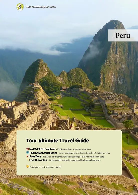
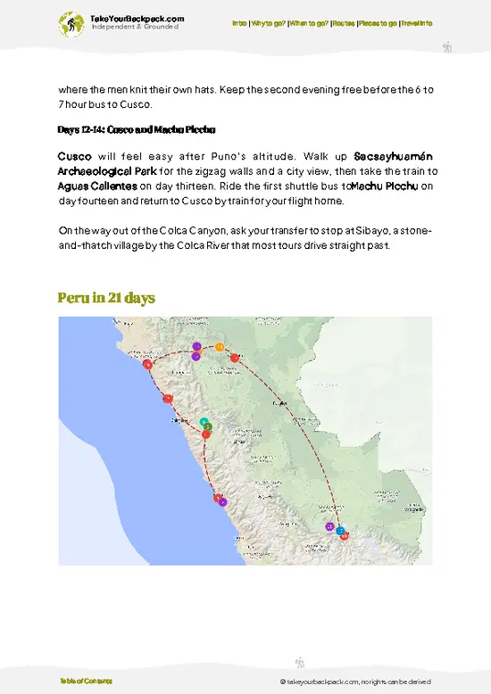
example page 0 from our offline Travel Guide for Peru
example page 1 from our offline Travel Guide for Peru
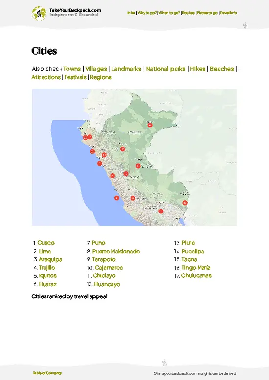
example page 2 from our offline Travel Guide for Peru
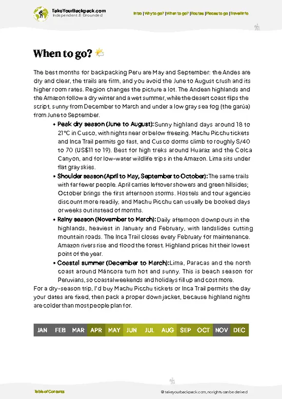
example page 3 from our offline Travel Guide for Peru
example page 4 from our offline Travel Guide for Peru
example page 5 from our offline Travel Guide for Peru
example page 6 from our offline Travel Guide for Peru
example page 7 from our offline Travel Guide for Peru
Loading the map 🌍
CLICK TO FILTER
cities
towns
villages
landmarks
national parks
hikes
beaches
attractions
festivals
regions
SHOW COUNTRY’S BESTSHOW ALL

✨ Why go?
Ranked #13 national park in Peru
What makes it a must-see national park

Salinas and Aguada Blanca National Reserve suits backpackers who want volcano country without a group schedule. The road toward Colca passes lagoons, bofedales (wet highland meadows) and the cone of Misti and Chachani in the distance, so you can hop off a public bus or hire a driver for a full day. Wildlife is the hook: vicuñas, alpacas, flamingos and the odd Andean fox show up without needing a guide. Hikers also use the reserve as the approach to Chachani at 6,057 meters, one of the most accessible 6,000-meter peaks in the Andes, though that climb needs acclimatization and a guide. Independent travelers get the most from flexible timing and a warm layer.

💡 HighlightsPlaces and moments you shouldn't skip

  1. Patapampa Pass (Mirador de los Andes): The road tops out near 4,900 meters, with a field of stone cairns left as offerings and a panorama of a dozen volcanoes.
  2. Laguna Salinas: A shallow salt lake where Andean and James’s flamingos feed, with Ubinas and Misti visible across the water on clear mornings.
  3. Pampa Cañahuas: A high plain where vicuñas graze close to the road, the easiest place in the reserve to watch them without binoculars.
  4. Chachani: A broad, glaciated-looking volcano summit at 6,057 meters, popular with guided climbers building toward harder peaks.
  5. Misti: The perfect cone above Arequipa, climbed over two days from the reserve side with a guide.
  6. Bofedales and thermal pools: Spongy green wetlands where alpacas and llamas feed, with geothermal springs reachable on the route toward Chivay.
… read more 👉
  1. Patapampa Pass (Mirador de los Andes): The road tops out near 4,900 meters, with a field of stone cairns left as offerings and a panorama of a dozen volcanoes.
  2. Laguna Salinas: A shallow salt lake where Andean and James’s flamingos feed, with Ubinas and Misti visible across the water on clear mornings.
  3. Pampa Cañahuas: A high plain where vicuñas graze close to the road, the easiest place in the reserve to watch them without binoculars.
  4. Chachani: A broad, glaciated-looking volcano summit at 6,057 meters, popular with guided climbers building toward harder peaks.
  5. Misti: The perfect cone above Arequipa, climbed over two days from the reserve side with a guide.
  6. Bofedales and thermal pools: Spongy green wetlands where alpacas and llamas feed, with geothermal springs reachable on the route toward Chivay.
  7. Queñua forests near Aguada Blanca: Twisted, papery-barked high-altitude trees that shelter birds in an otherwise treeless landscape.
Most visitors blow past the Aguada Blanca reservoir and its queñua groves, yet a quiet stop there gives some of the best birdwatching in the reserve.
Spotted a mistake or missing something? Contact us.

Things to do near Salinas and Aguada Blanca National Reserve

Ratings based on Tripadvisor reviews. When you book through this link, you support our work at no extra cost to you.

🌤️ When to go?Choosing the right time of year

  • Dry Season (May to October): Cold, sunny days of 15 to 20°C (59 to 68°F) at the roadside, and nights that drop to -10 to 0°C (14 to 32°F) above 4,000 m. Best for trekking and the Patapampa viewpoint, with the busiest months July and August.
  • Wet Season (December to March): Afternoon storms, highs of 12 to 18°C (54 to 64°F), muddy tracks, but green wetlands full of flamingos and vicuñas with young.
  • Shoulder Months (April, November): Fewer people, mostly stable weather, and tour prices in Arequipa at their lowest.
Daylight stays close to 12 hours all year, so start walking early before the afternoon wind and clouds.

source: climatestotravel.comJANJanuary: fair for travelingFEBFebruary: fair for travelingMARMarch: fair for travelingAPRApril: fair for travelingMAYMay: excellent for travelingJUNJune: excellent for travelingJULJuly: excellent for travelingAUGAugust: excellent for travelingSEPSeptember: excellent for travelingOCTOctober: highly recommended for travelingNOVNovember: fair for travelingDECDecember: fair for traveling
when-to-go

✈️ The backpacker research shortcutPeru Travel Guide

An offline-friendly backpacking guide with optimized travel routes, ranked highlights, transport advice, and the best areas to stay.
example page 0 from our offline Travel Guide for Peru
example page 1 from our offline Travel Guide for Peru
example page 2 from our offline Travel Guide for Peru
example page 3 from our offline Travel Guide for Peru
example page 4 from our offline Travel Guide for Peru
example page 5 from our offline Travel Guide for Peru
example page 6 from our offline Travel Guide for Peru
example page 7 from our offline Travel Guide for Peru
The digital guide (310 pages) contains:
✅ 102 highlights, ranked by travel appeal
✅ Optimized 7, 14 & 21-day travel routes
✅ Cities, national parks, landmarks, beaches
✅ How to get around
✅ Offline-friendly for travel without Wi-Fi
👉 Click to see all 30+ guide features

📅 Plan smarter in minutes, not weeks
✅ Month by month travel advice
✅ Festivals & national holidays
✅ Budget expectations

🗺️ Go to the right places, skip the overrated ones
✅ Honest pros & cons of destinations
✅ Top hikes, parks & viewpoints
✅ Lesser-known places most travelers miss
✅ Clear “worth it vs skip it” guidance

🛏️ Travel smoothly without rookie mistakes
✅ Best areas to stay
✅ Transport systems explained simply
✅ Common scams & safety advice
✅ SIM cards, money & practical tips

🌍 Understand the country, not just visit it
✅ Culture & traditions
✅ 52 Essential phrases & customs
✅ Festivals worth planning around
✅ Traveler-friendly historical context
✅ Insights that make places more meaningful

📱 Built for real travel conditions
✅ Fully downloadable PDF
✅ Works completely offline
✅ Optimized for phone use
✅ Useful in remote areas & buses
✅ Everything in one place
Stop searching, start planning
Get instant access to your full guide. 30‑day money-back guarantee.
+ Add another guide for just

By proceeding you agree to our terms.
Sent to your inbox immediately after payment • 100% Secure Checkout
Best Backpacking Travel Advisor 2025 tourism awardBest Backpacking
Travel Advisor
2025
What others say about Take Your Backpack Guides:
⭐⭐⭐⭐⭐
Fantastic, amazing amount of information!
⭐⭐⭐⭐⭐
My goodness this is amazing, it's what I've been looking for hats off too you!
⭐⭐⭐⭐⭐
I think this is absolutely BRILLIANT
⭐⭐⭐⭐
Very complete and informative. It's still missing places, but I gotta to commend you
⭐⭐⭐⭐⭐
This is truly amazing, thank you, can't wait to explore it with my kids!
⭐⭐⭐⭐⭐
Awesome resource, thank you!
⭐⭐⭐⭐⭐
This is amazing! Can't wait to explore the ones I haven't seen
⭐⭐⭐⭐
I love this! Well done, great idea.
⭐⭐⭐⭐⭐
Thanks for taking the time to make this gem!
⭐⭐⭐⭐⭐
This might be the best website I've ever seen.
⭐⭐⭐⭐⭐
Congratulations, and thank you so much for your work; it's incredibly valuable.
⭐⭐⭐⭐
In all seriousness I think you did a great job pointing out the important spots
⭐⭐⭐⭐⭐
10/10 very good
⭐⭐⭐⭐⭐
As someone who's only just starting to visit regularly this is awesome, thank you.
⭐⭐⭐⭐
Thank you very much! I'm going to visit my dad, it's going to be very useful!
⭐⭐⭐⭐⭐
This is really cool! We'll be travelling for the first time and this definitely come in handy.
⭐⭐⭐⭐⭐
You are now our minister of culture, congratulations 👨‍💼
⭐⭐⭐⭐⭐
Just wanted to tell you that this is a pearl! Going to follow your recommendations.
⭐⭐⭐⭐⭐
This is so cool. I'll definitely be using the resource for my travels soon.
⭐⭐⭐⭐⭐
This is very impressive! Good work.
⭐⭐⭐⭐⭐
This is an amazing and informative site. Very well done!

🛏️ Where to stay?Best areas and accommodation options

There are no hotels inside the reserve, so most backpackers sleep in Arequipa, about 1.5 to 2 hours by road from the Patapampa pass. Hostels around the Plaza de Armas and San Lázaro run US$8 to 15 for a dorm bed, and many sell day tours that cross the reserve on the way to Colca Canyon. Chivay, roughly 3 hours from Arequipa, is the nearest real town on the far side, with simple guesthouses at US$10 to 25 a room and hot springs close by. Inside the park, options are limited to basic community lodging or camping near Laguna Salinas and Pampa Cañahuas, so bring a four-season sleeping bag rated well … read more 👉
There are no hotels inside the reserve, so most backpackers sleep in Arequipa, about 1.5 to 2 hours by road from the Patapampa pass. Hostels around the Plaza de Armas and San Lázaro run US$8 to 15 for a dorm bed, and many sell day tours that cross the reserve on the way to Colca Canyon. Chivay, roughly 3 hours from Arequipa, is the nearest real town on the far side, with simple guesthouses at US$10 to 25 a room and hot springs close by. Inside the park, options are limited to basic community lodging or camping near Laguna Salinas and Pampa Cañahuas, so bring a four-season sleeping bag rated well below freezing. Book Arequipa beds ahead in July and August.

👛 Costs (as of 19 October 2026)Money, prices, and spending tips

Expect to spend about US$38 a day for a budget visit to Salinas and Aguada Blanca National Reserve, based on independent travel from Arequipa.
CategoryBudget RangeLocal Reality
Entrance FeesUS$0 to 3Fees are small and usually collected at checkpoints or included in Colca tours; carry coins.
Accommodation (High Season)US$8 to 15Dorm beds in Arequipa; camping is cheaper but needs your own cold-weather gear.
Local TransportUS$5 to 15Buses toward Chivay cost a few dollars and can drop you at the pass; shared taxis or tours cost more.
Food and SuppliesUS$8 to 12Set lunch menus in Arequipa run US$3 to 5; stock up on snacks before leaving since the reserve has almost nothing.
Guides and ToursUS$5 to 15Group day tours start near US$10 to 20 and are optional for road viewpoints; volcano climbs cost far more.
… read more 👉
Expect to spend about US$38 a day for a budget visit to Salinas and Aguada Blanca National Reserve, based on independent travel from Arequipa.
CategoryBudget RangeLocal Reality
Entrance FeesUS$0 to 3Fees are small and usually collected at checkpoints or included in Colca tours; carry coins.
Accommodation (High Season)US$8 to 15Dorm beds in Arequipa; camping is cheaper but needs your own cold-weather gear.
Local TransportUS$5 to 15Buses toward Chivay cost a few dollars and can drop you at the pass; shared taxis or tours cost more.
Food and SuppliesUS$8 to 12Set lunch menus in Arequipa run US$3 to 5; stock up on snacks before leaving since the reserve has almost nothing.
Guides and ToursUS$5 to 15Group day tours start near US$10 to 20 and are optional for road viewpoints; volcano climbs cost far more.
Total Daily BudgetUS$26 to 60Roughly US$38 for a typical backpacker day.


source: gob.pe
⚠️ Prices can change and everyone travels differently, so take this as a rough guide. Hope it helps you plan your adventure!

🥾 TrailsTrail guide for Salinas and Aguada Blanca National Reserve national park

Salinas and Aguada Blanca National Reserve is a high-altitude landscape of volcanic cones, tola scrub and open puna grassland around Arequipa, and most walking here is on high routes between 3,500 and 6,000 meters, so the terrain is more about thin air than steep technical ground.
  • Misti Volcano: The classic summit push, around 5,822 meters. Allow two days with a high camp, or a long single push from the upper trailhead. Difficulty is hard because of altitude, loose volcanic sand and scree on the upper cone. The reward is a view into the crater and down over Arequipa.
  • Chachani: Around 6,057 meters,
… read more 👉
Salinas and Aguada Blanca National Reserve is a high-altitude landscape of volcanic cones, tola scrub and open puna grassland around Arequipa, and most walking here is on high routes between 3,500 and 6,000 meters, so the terrain is more about thin air than steep technical ground.
  • Misti Volcano: The classic summit push, around 5,822 meters. Allow two days with a high camp, or a long single push from the upper trailhead. Difficulty is hard because of altitude, loose volcanic sand and scree on the upper cone. The reward is a view into the crater and down over Arequipa.
  • Chachani: Around 6,057 meters, usually done as a two-day climb with a night at a high camp. Technically simple, but the altitude makes it demanding. Terrain is sandy slope and loose rock.
  • Pampa Cañahuas walks: Easy, flat wanders of one to three hours across open plains where vicuñas graze in groups. Good for acclimatizing without a guide.
  • Laguna Salinas shoreline: A gentle half-day stroll around the salt lake near the Patahuasi area, with flamingos in the shallows and Misti rising behind. Terrain is flat salt crust and sand.
  • Patapampa Pass area: Short rambles of 30 to 60 minutes around the 4,910-meter viewpoint, with volcano panoramas and alpaca-grazed rock fields.
Wildlife is the draw on the lower walks. Expect vicuñas, vizcachas among the rocks, Andean foxes at dusk if you are lucky, and flamingos and Andean geese on the lakes. Condors are sometimes seen riding thermals above the ridges.
The reserve is reached by road from Arequipa, and the main highway to Chivay crosses it, so buses and shared vans can drop you at viewpoints and pull-offs. Reaching the volcano trailheads usually needs a hired vehicle. Crowds are thin away from the roadside stops. There is an entrance fee, paid at a control point or through a tour. Carry water, sun protection and warm layers.
⚠️ Hiking info can sometimes be outdated or inaccurate. Before you hit the trail, check the latest conditions with locals. If you do spot anything that's off, I'd love to hear from you, so I can update it for fellow travelers.

🛡️ SafetyTraveler Safety Guide

The main hazard here is altitude, since the road crosses passes above 4,800 m and Arequipa sits at only 2,300 m. Spend a day or two acclimatizing, drink plenty of water, and move slowly on any walk. Weather turns fast, with strong sun, cold wind, and hail or snow possible even in the dry season, so pack layers, sunscreen, and a windproof shell. Tracks are rough and signage is thin, so go with a guide or download offline maps. Vicuñas and llamas are harmless if you keep your distance. Volcano summit attempts need a licensed guide. Carry cash and snacks, as services are scarce.

FAQTraveler FAQ

One to two days covers the main sights of Salinas and Aguada Blanca National Reserve from Arequipa. A one-day tour reaches Pampa Cañahuas, Patapampa pass (about 4,900 m), and the vicuña plains en route to Colca. Add a second day if you want to camp, walk near Laguna Salinas, or attempt a volcano such as Misti or Chachani with a guide.
Yes, you can reach Salinas and Aguada Blanca National Reserve without a car. Buses from Arequipa to Chivay (about 3 to 3.5 hours, US$4 to 7) cross the reserve and can drop you near Patapampa, and tours cost roughly US$10 to 25 for a day. Getting off the main road to lakes or trailheads usually needs a hired taxi or a guide.
Salinas and Aguada Blanca National Reserve has low fees, typically US$0 to 3 per person, collected at checkpoints on the Arequipa to Chivay road or included in tour prices. Day visits along the road need no special permit. Climbing volcanoes or organized treks inside the reserve generally goes through a licensed agency in Arequipa, which handles any paperwork.
⚠️ Things can change over time, so always validate details locally before you go.

Other Peruvian national parks near Salinas and Aguada Blanca National Reserve

Explore more nearby:


💡 Not sure where to go next?
Create a personalized itinerary for Peru including Salinas and Aguada Blanca National Reserve and the places that fit your trip.

Generate my itinerary

👉 Discover all national parks

Or checkout all Peru has to offer (think cities, towns, villages, national parks, hikes, beaches, festivals)
Country photo of Peru

We 💚 feedbackWhat to keep in mind

Salinas and Aguada Blanca National Reserve trips go wrong when people squeeze it into a rushed day tour and then fight altitude sickness at the pass. Spend a night or two in Arequipa first, drink coca tea, and ask your driver for real stops at the lagoons and viewpoints.

✈️ When did I visit Peru?
Peru I visited during my half year trip through South and Central America back in 2003

✍️ Help improve this page!
The information on this page is based on my own backpacking experience in Peru, supplemented with up-to-date research and feedback from other travelers. Travel details can change, so if you notice anything outdated or incomplete, feel free to let me know.


🙋‍♂️ Give feedback

👋 Meet the founderWho’s Behind Take Your Backpack?

Johan, backpacker and founder of TakeYourBackpackHi, I’m Johan (Netherlands 🇳🇱), the creator of TakeYourBackpack. Over the past 3 decades, I’ve backpacked through 90+ countries across six continents, gaining extensive experience with independent travel, long-term trips, and overland routes.

This site is built on a combination of firsthand travel experience and carefully curated insights from other backpackers. Many guides are based on places I’ve personally visited, while others bring together tips, observations, and practical advice shared by trusted travelers I’ve met along the way.

The goal is to provide realistic, experience-driven guidance — not generic itineraries — so you can explore destinations with better context, clearer expectations, and more confidence.