×

South Sudan🇸🇸 | hikesBoma Plateau TrailKob migration, plateau rim, cattle camps, airstrip start | things to do and best time to go

Explore Imatong MountainsExplore Jebel Kujur Trail

Backpacking in Boma Plateau Trail
👍 Recommendedhike ranked #3
By Johan Kruseman 🇳🇱 | Updated October 22, 2026

Boma Plateau Trail follows unmarked footpaths and cattle tracks, with no signs, no hut and no permit office at the start. It sits in the east of South Sudan, in Boma National Park near the Ethiopian border. The ground is the draw. You climb from hot, grassy floodplain onto a cooler highland of woodland and rocky rim, and from the edge you look back over plains that fill with white-eared kob in the migration season. Distances are moderate, but the difficulty comes from remoteness, heat on the lower slopes and the need for local guides. There is no public transport to the start, and arrival means a flight to the Boma airstrip. Skip any plan that relies on maps or apps. Spend your time on the rim and the plains below it. Unlike Mount Kinyeti in the Imatong range, a defined summit climb on established tracks, this is a loose plateau traverse where the wildlife matters more than a peak.

Discover everything you want to know in the 📖 South Sudan Travel Guide.
Best time to go: November - March
Duration: 3 days
Distance: 40 kilometers
Total ascent: 900 meters
Safety warning

The current risk level for South Sudan is high. Check the advice before going.


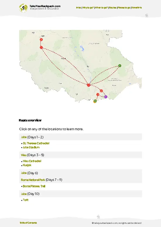
example page 0 from our offline Travel Guide for South Sudan
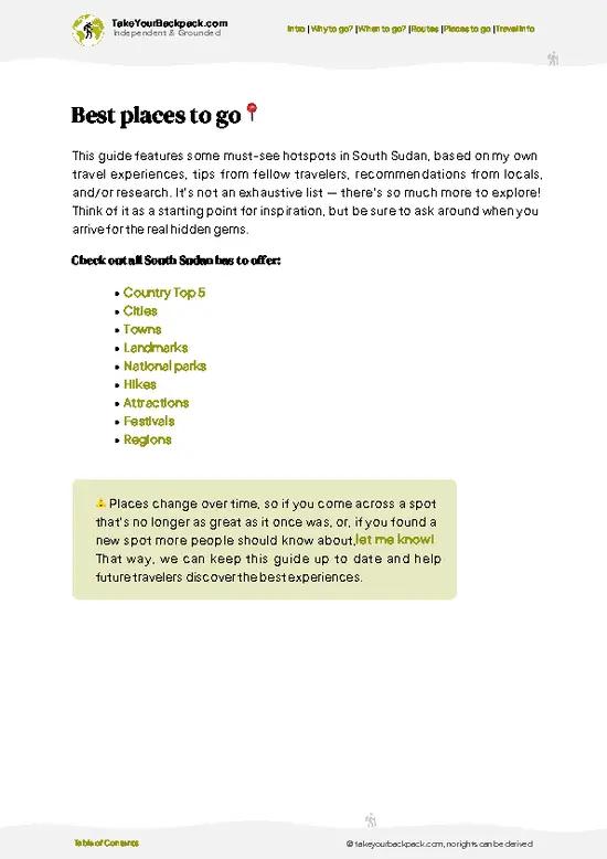
example page 1 from our offline Travel Guide for South Sudan
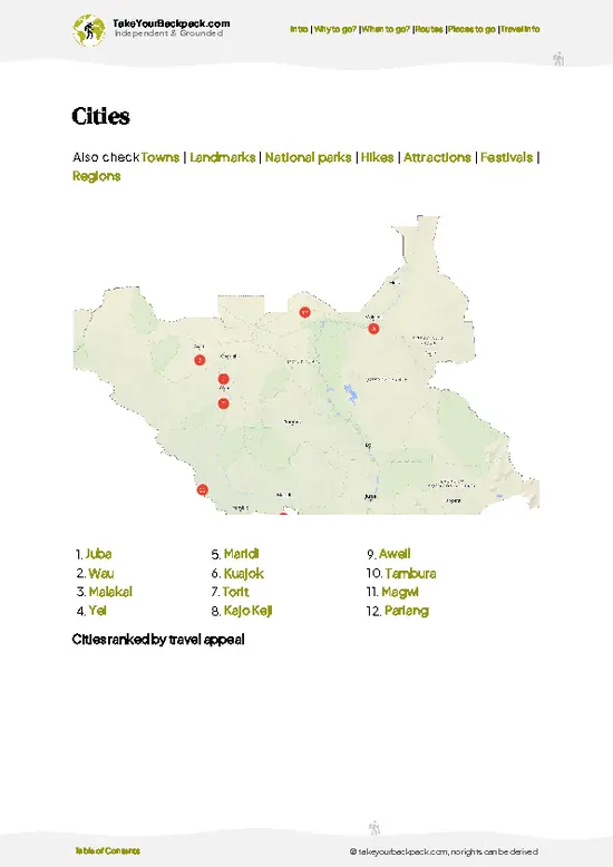
example page 2 from our offline Travel Guide for South Sudan
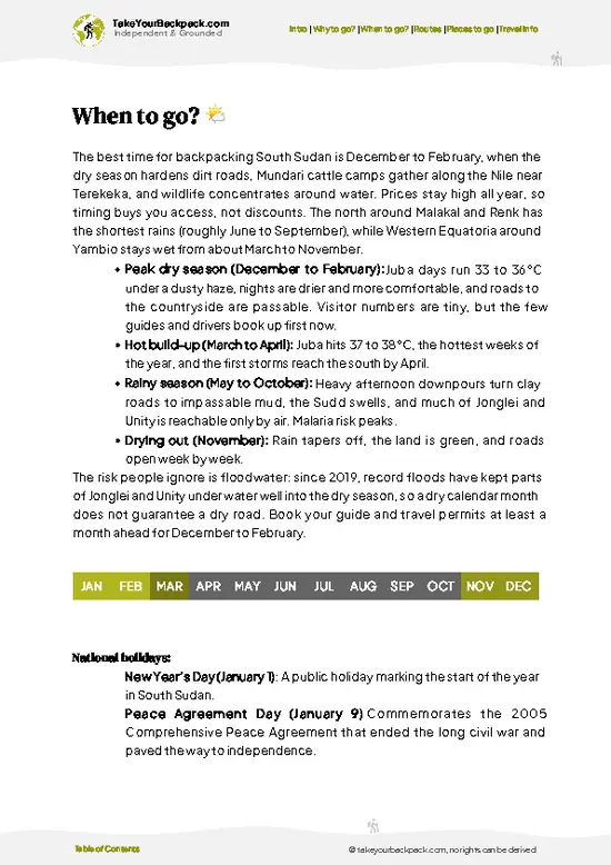
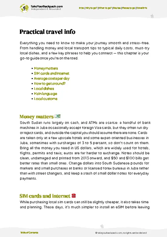
example page 3 from our offline Travel Guide for South Sudan
example page 4 from our offline Travel Guide for South Sudan
example page 5 from our offline Travel Guide for South Sudan
example page 6 from our offline Travel Guide for South Sudan
example page 7 from our offline Travel Guide for South Sudan
Loading the map 🌍
CLICK TO FILTER
cities
towns
landmarks
national parks
hikes
attractions
festivals
regions
SHOW COUNTRY’S BESTSHOW ALL

✨ Why go?
Ranked #3 hike in South Sudan
Why visitors keep coming back

Boma Plateau Trail gives you something almost no other walk in East Africa offers: a front-row view of the white-eared kob migration, counted among the largest movements of land mammals on the continent, from a cool, elevated edge rather than a vehicle. That is the main reason people seek it out. The second is the rim of the escarpment, where the plateau drops sharply to the floodplain and you can read the whole landscape at once: river lines, burned grass, herds in lines of dust. The third is the people. Walking with Murle and Anuak guides means passing through cattle camps and small villages on paths that have been used for generations, and your guide will know the water, the safe crossings and who to greet. Few places in the region let you combine real wildlife, highland air and local company … read more 👉
Boma Plateau Trail gives you something almost no other walk in East Africa offers: a front-row view of the white-eared kob migration, counted among the largest movements of land mammals on the continent, from a cool, elevated edge rather than a vehicle. That is the main reason people seek it out. The second is the rim of the escarpment, where the plateau drops sharply to the floodplain and you can read the whole landscape at once: river lines, burned grass, herds in lines of dust. The third is the people. Walking with Murle and Anuak guides means passing through cattle camps and small villages on paths that have been used for generations, and your guide will know the water, the safe crossings and who to greet. Few places in the region let you combine real wildlife, highland air and local company on foot. It suits a long East African overland route as a deliberate detour for experienced travelers who are comfortable with remote logistics and slow planning.

💡 HighlightsMust-see experiences and standout moments

  1. White-eared kob migration: Hundreds of thousands of kob, with tiang and Mongalla gazelle among them, move across the plains below the plateau. From the rim you see herds in waves, grass smoking with dust, and the occasional lion or hyena shadowing the edge.
  2. The plateau rim: The escarpment drops from the highland to the lowland plains in a steep, rocky edge. It gives the widest views on the route and the best place to sit and watch animals through binoculars.
  3. Highland woodland and streams: Above the plains the air is noticeably cooler and the vegetation changes to open woodland and seasonal streams. Birds are frequent here, and you may spot baboons and colobus in the denser stands.
  4. Murle and Anuak cattle camps: Pastoral communities graze herds along the plateau and the plains. Greeting a camp
… read more 👉
  1. White-eared kob migration: Hundreds of thousands of kob, with tiang and Mongalla gazelle among them, move across the plains below the plateau. From the rim you see herds in waves, grass smoking with dust, and the occasional lion or hyena shadowing the edge.
  2. The plateau rim: The escarpment drops from the highland to the lowland plains in a steep, rocky edge. It gives the widest views on the route and the best place to sit and watch animals through binoculars.
  3. Highland woodland and streams: Above the plains the air is noticeably cooler and the vegetation changes to open woodland and seasonal streams. Birds are frequent here, and you may spot baboons and colobus in the denser stands.
  4. Murle and Anuak cattle camps: Pastoral communities graze herds along the plateau and the plains. Greeting a camp with a guide means smoke from dung fires, long-horned cattle and a glimpse of a way of life that shapes this landscape.
  5. Boma village and airstrip: The starting point is a small settlement with the airstrip that links the park to the outside world. A brief walk here helps you meet guides, buy basic supplies and understand local conditions before heading uphill.
Allow three to five days to take in all of Boma Plateau Trail, including approach walking and time on the rim.
Spotted a mistake or missing something? Contact us.

🌤️ When to go?Seasonal considerations and timing

  • Dry Season (December to March): Boma Plateau Trail is most workable now, with firm tracks, clear skies and little rain. Lowland days reach 34 to 40°C (93 to 104°F), while the plateau is milder at roughly 22 to 32°C (72 to 90°F) and nights cool to about 15 to 20°C (59 to 68°F). Daylight runs close to 12 hours. Crowds are nonexistent, but charter flights and vehicle hire cost most now.
  • Early Rains (April to June): Storms build in the afternoons, streams swell and tracks turn to sticky black mud. Highs sit around 30 to 36°C (86 to 97°F), and humidity makes climbs feel heavier.
  • Peak Rains (July to October): Roads and bush airstrips are often cut off, rivers rise fast and the grass grows head high, hiding the trail. Temperatures ease to 25 to 32°C (77 to 90°F). Skip this window.
  • Early Dry (November):
… read more 👉
  • Dry Season (December to March): Boma Plateau Trail is most workable now, with firm tracks, clear skies and little rain. Lowland days reach 34 to 40°C (93 to 104°F), while the plateau is milder at roughly 22 to 32°C (72 to 90°F) and nights cool to about 15 to 20°C (59 to 68°F). Daylight runs close to 12 hours. Crowds are nonexistent, but charter flights and vehicle hire cost most now.
  • Early Rains (April to June): Storms build in the afternoons, streams swell and tracks turn to sticky black mud. Highs sit around 30 to 36°C (86 to 97°F), and humidity makes climbs feel heavier.
  • Peak Rains (July to October): Roads and bush airstrips are often cut off, rivers rise fast and the grass grows head high, hiding the trail. Temperatures ease to 25 to 32°C (77 to 90°F). Skip this window.
  • Early Dry (November): Greenery is still thick and the air is clearer, with fewer logistics headaches than December.
Book transport and permits well ahead for January and February, since flights fill first.


source: climatestotravel.comJANJanuary: excellent for travelingFEBFebruary: excellent for travelingMARMarch: good for travelingAPRApril: fair for travelingMAYMay: fair for travelingJUNJune: fair for travelingJULJuly: fair for travelingAUGAugust: fair for travelingSEPSeptember: fair for travelingOCTOctober: fair for travelingNOVNovember: highly recommended for travelingDECDecember: excellent for traveling
when-to-go

✈️ The backpacker research shortcutSouth Sudan Travel Guide

An offline-friendly backpacking guide with optimized travel routes, ranked highlights, transport advice, and the best areas to stay.
example page 0 from our offline Travel Guide for South Sudan
example page 1 from our offline Travel Guide for South Sudan
example page 2 from our offline Travel Guide for South Sudan
example page 3 from our offline Travel Guide for South Sudan
example page 4 from our offline Travel Guide for South Sudan
example page 5 from our offline Travel Guide for South Sudan
example page 6 from our offline Travel Guide for South Sudan
example page 7 from our offline Travel Guide for South Sudan
The digital guide (242 pages) contains:
✅ 57 highlights, ranked by travel appeal
✅ Optimized 5, 10 & 15-day travel routes
✅ Cities, national parks, landmarks, beaches
✅ How to get around
✅ Offline-friendly for travel without Wi-Fi
👉 Click to see all 30+ guide features

📅 Plan smarter in minutes, not weeks
✅ Month by month travel advice
✅ Festivals & national holidays
✅ Budget expectations

🗺️ Go to the right places, skip the overrated ones
✅ Honest pros & cons of destinations
✅ Top hikes, parks & viewpoints
✅ Lesser-known places most travelers miss
✅ Clear “worth it vs skip it” guidance

🛏️ Travel smoothly without rookie mistakes
✅ Best areas to stay
✅ Transport systems explained simply
✅ Common scams & safety advice
✅ SIM cards, money & practical tips

🌍 Understand the country, not just visit it
✅ Culture & traditions
✅ 52 Essential phrases & customs
✅ Festivals worth planning around
✅ Traveler-friendly historical context
✅ Insights that make places more meaningful

📱 Built for real travel conditions
✅ Fully downloadable PDF
✅ Works completely offline
✅ Optimized for phone use
✅ Useful in remote areas & buses
✅ Everything in one place
Stop searching, start planning
Get instant access to your full guide. 30‑day money-back guarantee.
+ Add another guide for just

By proceeding you agree to our terms.
Sent to your inbox immediately after payment • 100% Secure Checkout
Best Backpacking Travel Advisor 2025 tourism awardBest Backpacking
Travel Advisor
2025
What others say about Take Your Backpack Guides:
⭐⭐⭐⭐⭐
Fantastic, amazing amount of information!
⭐⭐⭐⭐⭐
My goodness this is amazing, it's what I've been looking for hats off too you!
⭐⭐⭐⭐⭐
I think this is absolutely BRILLIANT
⭐⭐⭐⭐
Very complete and informative. It's still missing places, but I gotta to commend you
⭐⭐⭐⭐⭐
This is truly amazing, thank you, can't wait to explore it with my kids!
⭐⭐⭐⭐⭐
Awesome resource, thank you!
⭐⭐⭐⭐⭐
This is amazing! Can't wait to explore the ones I haven't seen
⭐⭐⭐⭐
I love this! Well done, great idea.
⭐⭐⭐⭐⭐
Thanks for taking the time to make this gem!
⭐⭐⭐⭐⭐
This might be the best website I've ever seen.
⭐⭐⭐⭐⭐
Congratulations, and thank you so much for your work; it's incredibly valuable.
⭐⭐⭐⭐
In all seriousness I think you did a great job pointing out the important spots
⭐⭐⭐⭐⭐
10/10 very good
⭐⭐⭐⭐⭐
As someone who's only just starting to visit regularly this is awesome, thank you.
⭐⭐⭐⭐
Thank you very much! I'm going to visit my dad, it's going to be very useful!
⭐⭐⭐⭐⭐
This is really cool! We'll be travelling for the first time and this definitely come in handy.
⭐⭐⭐⭐⭐
You are now our minister of culture, congratulations 👨‍💼
⭐⭐⭐⭐⭐
Just wanted to tell you that this is a pearl! Going to follow your recommendations.
⭐⭐⭐⭐⭐
This is so cool. I'll definitely be using the resource for my travels soon.
⭐⭐⭐⭐⭐
This is very impressive! Good work.
⭐⭐⭐⭐⭐
This is an amazing and informative site. Very well done!

🛏️ Where to stay?Best areas and accommodation options

If you enjoy meeting fellow travelers, consider choosing hostels with high ratings for atmosphere. On the other hand, if you prefer having your own space, a hotel might be a better option.

🥾 Hike detailsRoute, distance, and difficulty explained

Boma Plateau Trail: This is an unmarked, guide-dependent route across the highland of Boma National Park, with no signposts and no formal trailhead.
Total Distance: Roughly 40 kilometers for a typical loop or traverse, depending on the guide's chosen line.
Estimated Duration: About 3 days, with a fourth for rim viewing if the herds are close.
Difficulty: Moderate on the ground, demanding in logistics. Heat on the lower slopes, loose rock near the edge and long self-supported stretches make fitness and preparation important.
Starting Point: Boma village and its airstrip. There is no scheduled public
… read more 👉
Boma Plateau Trail: This is an unmarked, guide-dependent route across the highland of Boma National Park, with no signposts and no formal trailhead.
Total Distance: Roughly 40 kilometers for a typical loop or traverse, depending on the guide's chosen line.
Estimated Duration: About 3 days, with a fourth for rim viewing if the herds are close.
Difficulty: Moderate on the ground, demanding in logistics. Heat on the lower slopes, loose rock near the edge and long self-supported stretches make fitness and preparation important.
Starting Point: Boma village and its airstrip. There is no scheduled public transport; arrival is by charter or humanitarian flight, and the approach roads are unreliable for much of the wet season.
Major Landmarks:
  • Boma airstrip and village: Last place for basic supplies and local guide arrangements.
  • Lower slopes: Hot grassland and thorn scrub on the climb.
  • Plateau rim: Open edge with views over the migration plains.
  • Cattle camps: Seasonal settlements on the highland.
Terrain and Scenery: Footpaths and cattle tracks cross grass, rock and shallow stream beds. The edge of the escarpment gives long views over the floodplain, and the highland itself is cooler and breezier than the lowlands.
Vegetation: Savanna grassland and thorn scrub below, open woodland and riverine strips on the plateau.
Wildlife: White-eared kob, tiang, Mongalla gazelle, giraffe, elephant and buffalo move through the park, with lions and hyenas following the herds. Baboons and many bird species live on the plateau.
⚠️ Hiking info can sometimes be outdated or inaccurate. Before you hit the trail, check the latest conditions with locals. If you do spot anything that's off, I'd love to hear from you, so I can update it for fellow travelers.

🛡️ SafetyTraveler Safety Guide

Boma Plateau Trail is a remote, unmanaged route, and the biggest risks come from access and security rather than the climb itself. Conflict and cattle raiding in the surrounding Jonglei and Pibor areas have shifted from year to year, so check current conditions with the Wildlife Service, local authorities and a trusted operator before committing, and travel with local escorts who know the communities. The terrain is steep in places, with loose rock on the escarpment and long stretches of grass that hide the path, so wear sturdy boots and carry a GPS track alongside your guide. Heat is the daily hazard. Start at first light, rest through the midday peak and carry at least 4 liters of water per person, plus purification, since sources are seasonal. Elephants, buffalo and snakes live in the park, … read more 👉
Boma Plateau Trail is a remote, unmanaged route, and the biggest risks come from access and security rather than the climb itself. Conflict and cattle raiding in the surrounding Jonglei and Pibor areas have shifted from year to year, so check current conditions with the Wildlife Service, local authorities and a trusted operator before committing, and travel with local escorts who know the communities. The terrain is steep in places, with loose rock on the escarpment and long stretches of grass that hide the path, so wear sturdy boots and carry a GPS track alongside your guide. Heat is the daily hazard. Start at first light, rest through the midday peak and carry at least 4 liters of water per person, plus purification, since sources are seasonal. Elephants, buffalo and snakes live in the park, so keep your voice low, give animals distance and watch where you step. Pack a satellite messenger, a full first-aid kit and malaria prophylaxis, because help is days away.

FAQFrequently asked questions about Boma Plateau Trail

Expect two to three days for Boma Plateau Trail, including the approach from Boma village and the climb onto the escarpment. Most of the walking is 15 to 20 kilometers (9 to 12 miles) per day at a steady pace in the heat. Getting to Boma itself usually means a chartered flight from Juba, which adds a day of planning on either end.
Boma Plateau Trail is moderately hard, mainly because of heat, distance and the lack of marked paths rather than technical climbing. The escarpment sections are steep with loose rock, and daytime temperatures in the lowlands often exceed 35°C (95°F). You should be comfortable carrying 10 to 15 kilograms (22 to 33 pounds) and walking six to eight hours a day.
Yes, you need both for Boma Plateau Trail. Entry to Boma National Park requires authorization from the South Sudan Wildlife Service, and a visa and travel permits are needed on top of that. The route is unmarked and passes through areas with security concerns, so hiring a local guide and armed escort through a Juba-based operator is effectively mandatory. Costs vary widely and are usually bundled with the flight and logistics.
⚠️ Things can change over time, so always validate details locally before you go.

Other South Sudanese hikes near Boma Plateau Trail

Explore more nearby:

  • Dongotona Mountains—Granite ridges, Lotuko villages, terraced plots, Ikotos base| 256 km away
  • Imatong Mountains—Kinyeti summit, montane forest, heath, Katire foothills| 290 km away
  • Jebel Kujur Trail—Juba skyline, Nile bend, granite ledges, half-day scramble| 313 km away

💡 Not sure where to go next?
Create a personalized itinerary for South Sudan including Boma Plateau Trail and the places that fit your trip.

Generate my itinerary

👉 Discover all hikes

Or checkout all South Sudan has to offer (think cities, towns, villages, national parks, hikes, beaches, festivals)
Country photo of South Sudan

We 💚 feedbackKey takeaways before you go

Boma Plateau Trail gets cold at night, and first-timers pack for the equatorial heat they feel on the climb. I would bring a warm layer and a proper sleeping bag, then spend the last hour of light on the rim with binoculars, when the herds move and the plains settle. Hire your guide early and let them set the pace.

✍️ Help improve this page!
The information on this page is based on in-depth research, insights shared by experienced travelers, and feedback from the local travel community in South Sudan. While every effort is made to keep the information accurate and current, conditions can change — so if you spot anything incorrect or outdated, please get in touch.


🙋‍♂️ Give feedback

👋 Meet the founderWho’s Behind Take Your Backpack?

Johan, backpacker and founder of TakeYourBackpackHi, I’m Johan (Netherlands 🇳🇱), the creator of TakeYourBackpack. Over the past 3 decades, I’ve backpacked through 90+ countries across six continents, gaining extensive experience with independent travel, long-term trips, and overland routes.

This site is built on a combination of firsthand travel experience and carefully curated insights from other backpackers. Many guides are based on places I’ve personally visited, while others bring together tips, observations, and practical advice shared by trusted travelers I’ve met along the way.

The goal is to provide realistic, experience-driven guidance — not generic itineraries — so you can explore destinations with better context, clearer expectations, and more confidence.