

×

Sri Lanka🇱🇰 | hikesWorld’s Endcloud forest plateau, sheer escarpment, sambar deer, misty grasslands | things to do and best time to go

Explore Pidurangala RockExplore Little Adam’s Peak

Backpacking in World’s End
🏆 Top pickhike ranked #2
By Johan Kruseman 🇳🇱 | Updated October 15, 2026

Most people sell World’s End as a sunrise cliff-view hike, but the real surprise is how much of it feels like a high-altitude moorland walk, with ankle-twisting roots and swampy patches that will soak your shoes long before you reach the drop-off. You’re in Sri Lanka’s central highlands, south of Nuwara Eliya, inside Horton Plains National Park. The loop to World’s End and back is not brutal—about 9 km—but the altitude, humidity, and uneven stone steps keep your legs honest. Scenery swings from misty grasslands to cloud forest to that sudden, 800-meter void at the viewpoint, where you finally stop sweating and just stare. It’s easy enough to reach by bus and tuk-tuk from Nuwara Eliya, but the mandatory early start and park fees sting. Compared with nearby Adam’s Peak or Ella Rock, this one feels wilder, less spiritual, more raw landscape than pilgrimage.

Discover everything you want to know in the 📖 Sri Lanka Travel Guide.
Best time to go: October - March
Duration: 4 hours
Distance: 9 kilometers
Total ascent: 700 meters


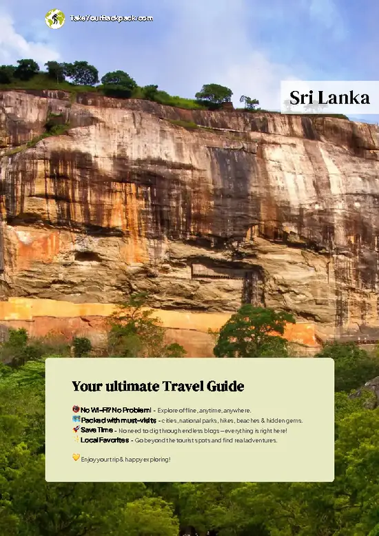
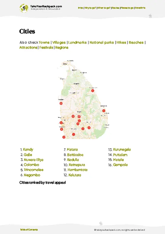
example page 0 from our offline Travel Guide for Sri Lanka
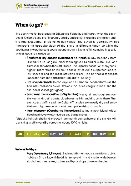
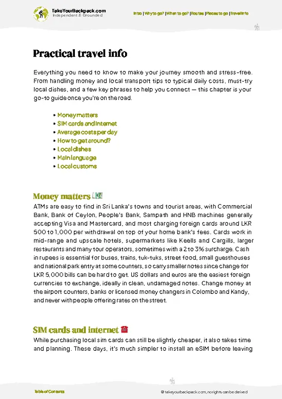
example page 1 from our offline Travel Guide for Sri Lanka
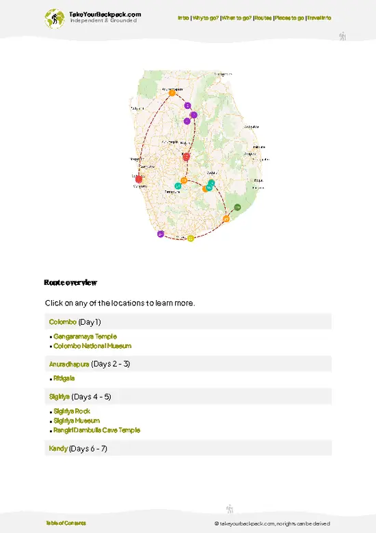
example page 2 from our offline Travel Guide for Sri Lanka
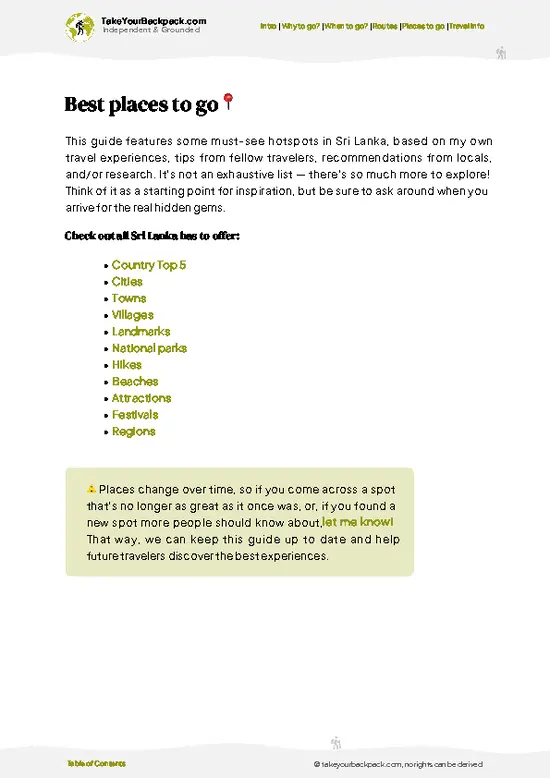
example page 3 from our offline Travel Guide for Sri Lanka
example page 4 from our offline Travel Guide for Sri Lanka
example page 5 from our offline Travel Guide for Sri Lanka
example page 6 from our offline Travel Guide for Sri Lanka
example page 7 from our offline Travel Guide for Sri Lanka
Loading the map 🌍
CLICK TO FILTER
cities
towns
villages
landmarks
national parks
hikes
beaches
attractions
festivals
regions
SHOW COUNTRY’S BESTSHOW ALL

✨ Why go?
Ranked #2 hike in Sri Lanka
Why World’s End should be on your travel list

The hike from World’s End is a magnet for backpackers, and for good reason. It’s a scenery-to-effort ratio that’s hard to beat. You’ll start at an elevation of about 2,100 meters, where the crisp air fills your lungs and the mist dances around you. The trail is well-marked, making it accessible even for those who aren’t seasoned trekkers.

Public transport drops you right at the entrance, so you can hop on a bus from Nuwara Eliya without breaking the bank. The cost? Minimal. Just a few bucks for a ticket and a small entrance fee.

As you trek through the cloud forests, the landscape shifts dramatically. You’ll encounter rolling hills, vibrant flora, and the occasional deer peeking through the trees. The flexible distances allow you to tailor your hike; you can push for the full 9 kilometers … read more 👉
The hike from World’s End is a magnet for backpackers, and for good reason. It’s a scenery-to-effort ratio that’s hard to beat. You’ll start at an elevation of about 2,100 meters, where the crisp air fills your lungs and the mist dances around you. The trail is well-marked, making it accessible even for those who aren’t seasoned trekkers.

Public transport drops you right at the entrance, so you can hop on a bus from Nuwara Eliya without breaking the bank. The cost? Minimal. Just a few bucks for a ticket and a small entrance fee.

As you trek through the cloud forests, the landscape shifts dramatically. You’ll encounter rolling hills, vibrant flora, and the occasional deer peeking through the trees. The flexible distances allow you to tailor your hike; you can push for the full 9 kilometers to the cliff’s edge or take a leisurely stroll.

When you finally reach World’s End, the view is a jaw-dropper. The sheer drop-off reveals a sprawling panorama that makes every step worthwhile. It’s not just a hike; it’s a visceral reward that lingers long after you’ve returned to the trailhead.

💡 HighlightsThe experiences that define the visit

  1. World’s End (the main cliff) — A jaw-dropper: a sheer 880-metre drop off a flat plateau that, on a clear day, gives panoramic views over tea country and deep valleys. The sense of standing on a plateau that suddenly ends is what makes this more dramatic than most viewpoints on other hikes.
  2. Sunrise and the cloud inversion — Get there early and you’ll watch low clouds pile into the valleys below while the plateau stays sunlit, creating a “sea of clouds” effect. That transient light and mood—fog one minute, sweeping clarity the next—turns a simple walk into a cinematic morning.
  3. Mini World’s End — A smaller but equally atmospheric cliff a short walk before the main viewpoint; often quieter and shrouded in mist. It’s a great alternate spot for photos and to enjoy the scale without the crowd
… read more 👉
  1. World’s End (the main cliff) — A jaw-dropper: a sheer 880-metre drop off a flat plateau that, on a clear day, gives panoramic views over tea country and deep valleys. The sense of standing on a plateau that suddenly ends is what makes this more dramatic than most viewpoints on other hikes.
  2. Sunrise and the cloud inversion — Get there early and you’ll watch low clouds pile into the valleys below while the plateau stays sunlit, creating a “sea of clouds” effect. That transient light and mood—fog one minute, sweeping clarity the next—turns a simple walk into a cinematic morning.
  3. Mini World’s End — A smaller but equally atmospheric cliff a short walk before the main viewpoint; often quieter and shrouded in mist. It’s a great alternate spot for photos and to enjoy the scale without the crowd at the main ledge.
  4. Montane grasslands, cloud forest and boardwalks — This trail crosses unique high-altitude peat bogs and stunted cloud forest, with wooden boardwalks threading through colorful mosses and lichens. The landscape is unlike lowland jungle hikes—open, windswept, and eerily beautiful, with strange, compact trees and soft, spongy ground underfoot.
  5. Wildlife and endemic birds — Sambar deer commonly graze on the plains and you’ll spot a mix of highland birds (and butterflies) that you won’t see in the lowlands. The combination of tame mammals and specialty birds makes for easy, satisfying wildlife encounters without a long detour from the trail.
Spotted a mistake or missing something? Contact us.

Things to do near World’s End

Ratings based on Tripadvisor reviews. When you book through this link, you support our work at no extra cost to you.

🌤️ When to go?Best time to hike the World’s End

  • Weather: Horton Plains sits at 2,100 meters (6,900 feet), so expect mist and drizzle from April to September. The dry season from December to February offers clearer skies and less mud, making the trail more manageable and the views sharper.
  • Temperature: Mornings can dip to 10°C (50°F) even in the dry season, so pack layers. Daytime highs hover around 18-20°C (64-68°F), cool but comfortable for hiking without overheating.
  • Daylight Hours: Around 11 to 12 hours of daylight year-round, but starting early is crucial. The best light hits the cliffs mid-morning, and the trail can get foggy by afternoon, obscuring the iconic drop.
  • Crowds: Peak season (December to February) draws the most visitors, especially on weekends. Weekdays in the shoulder months (March or November) offer a quieter, more
… read more 👉
  • Weather: Horton Plains sits at 2,100 meters (6,900 feet), so expect mist and drizzle from April to September. The dry season from December to February offers clearer skies and less mud, making the trail more manageable and the views sharper.
  • Temperature: Mornings can dip to 10°C (50°F) even in the dry season, so pack layers. Daytime highs hover around 18-20°C (64-68°F), cool but comfortable for hiking without overheating.
  • Daylight Hours: Around 11 to 12 hours of daylight year-round, but starting early is crucial. The best light hits the cliffs mid-morning, and the trail can get foggy by afternoon, obscuring the iconic drop.
  • Crowds: Peak season (December to February) draws the most visitors, especially on weekends. Weekdays in the shoulder months (March or November) offer a quieter, more intimate trek.
  • Seasonal Activities: Birdwatchers and nature buffs flock here during the dry months when endemic species are easier to spot. The lush greenery after monsoon rains (October-November) is a double-edged sword—gorgeous but slippery.
  • Price Fluctuations: Entrance fees and local guide rates stay steady year-round, but accommodation in nearby Nuwara Eliya spikes during peak tourist months, so book early or aim for off-peak.
Pro-tip: Hit the trail at dawn during the dry season to catch the sun breaking through the mist at World’s End—there’s no better payoff for the early sweat.


source: climatestotravel.comJANJanuary: excellent for travelingFEBFebruary: excellent for travelingMARMarch: highly recommended for travelingAPRApril: fair for travelingMAYMay: fair for travelingJUNJune: fair for travelingJULJuly: fair for travelingAUGAugust: fair for travelingSEPSeptember: fair for travelingOCTOctober: good for travelingNOVNovember: highly recommended for travelingDECDecember: excellent for traveling
when-to-go

✈️ The backpacker research shortcutSri Lanka Travel Guide

An offline-friendly backpacking guide with optimized travel routes, ranked highlights, transport advice, and the best areas to stay.
example page 0 from our offline Travel Guide for Sri Lanka
example page 1 from our offline Travel Guide for Sri Lanka
example page 2 from our offline Travel Guide for Sri Lanka
example page 3 from our offline Travel Guide for Sri Lanka
example page 4 from our offline Travel Guide for Sri Lanka
example page 5 from our offline Travel Guide for Sri Lanka
example page 6 from our offline Travel Guide for Sri Lanka
example page 7 from our offline Travel Guide for Sri Lanka
The digital guide (435 pages) contains:
✅ 121 highlights, ranked by travel appeal
✅ Optimized 5, 10 & 15-day travel routes
✅ Cities, national parks, landmarks, beaches
✅ How to get around
✅ Offline-friendly for travel without Wi-Fi
👉 Click to see all 30+ guide features

📅 Plan smarter in minutes, not weeks
✅ Month by month travel advice
✅ Festivals & national holidays
✅ Budget expectations

🗺️ Go to the right places, skip the overrated ones
✅ Honest pros & cons of destinations
✅ Top hikes, parks & viewpoints
✅ Lesser-known places most travelers miss
✅ Clear “worth it vs skip it” guidance

🛏️ Travel smoothly without rookie mistakes
✅ Best areas to stay
✅ Transport systems explained simply
✅ Common scams & safety advice
✅ SIM cards, money & practical tips

🌍 Understand the country, not just visit it
✅ Culture & traditions
✅ 52 Essential phrases & customs
✅ Festivals worth planning around
✅ Traveler-friendly historical context
✅ Insights that make places more meaningful

📱 Built for real travel conditions
✅ Fully downloadable PDF
✅ Works completely offline
✅ Optimized for phone use
✅ Useful in remote areas & buses
✅ Everything in one place
Stop searching, start planning
Get instant access to your full guide. 30‑day money-back guarantee.
+ Add another guide for just

By proceeding you agree to our terms.
Sent to your inbox immediately after payment • 100% Secure Checkout
Best Backpacking Travel Advisor 2025 tourism awardBest Backpacking
Travel Advisor
2025
What others say about Take Your Backpack Guides:
⭐⭐⭐⭐⭐
Fantastic, amazing amount of information!
⭐⭐⭐⭐⭐
My goodness this is amazing, it's what I've been looking for hats off too you!
⭐⭐⭐⭐⭐
I think this is absolutely BRILLIANT
⭐⭐⭐⭐
Very complete and informative. It's still missing places, but I gotta to commend you
⭐⭐⭐⭐⭐
This is truly amazing, thank you, can't wait to explore it with my kids!
⭐⭐⭐⭐⭐
Awesome resource, thank you!
⭐⭐⭐⭐⭐
This is amazing! Can't wait to explore the ones I haven't seen
⭐⭐⭐⭐
I love this! Well done, great idea.
⭐⭐⭐⭐⭐
Thanks for taking the time to make this gem!
⭐⭐⭐⭐⭐
This might be the best website I've ever seen.
⭐⭐⭐⭐⭐
Congratulations, and thank you so much for your work; it's incredibly valuable.
⭐⭐⭐⭐
In all seriousness I think you did a great job pointing out the important spots
⭐⭐⭐⭐⭐
10/10 very good
⭐⭐⭐⭐⭐
As someone who's only just starting to visit regularly this is awesome, thank you.
⭐⭐⭐⭐
Thank you very much! I'm going to visit my dad, it's going to be very useful!
⭐⭐⭐⭐⭐
This is really cool! We'll be travelling for the first time and this definitely come in handy.
⭐⭐⭐⭐⭐
You are now our minister of culture, congratulations 👨‍💼
⭐⭐⭐⭐⭐
Just wanted to tell you that this is a pearl! Going to follow your recommendations.
⭐⭐⭐⭐⭐
This is so cool. I'll definitely be using the resource for my travels soon.
⭐⭐⭐⭐⭐
This is very impressive! Good work.
⭐⭐⭐⭐⭐
This is an amazing and informative site. Very well done!

🛏️ Where to stay?Choosing the right base

If you enjoy meeting fellow travelers, consider choosing hostels with high ratings for atmosphere. On the other hand, if you prefer having your own space, a hotel might be a better option.

🥾 Hike detailsRoute, distance, and difficulty explained

Total Distance: The trail from World’s End is about 9 kilometers (roughly 5.5 miles) round trip.

Estimated Duration: Most hikers take around 3 to 4 hours to complete the trek, depending on how many stops you make for photos or to catch your breath.

Difficulty Level: This trail is generally considered easy to moderate. It’s well-marked and mostly flat, but there are some sections with uneven ground, so keep an eye on your footing.

Starting Point: You’ll begin your hike at Horton Plains National Park. To get there via public transport, take a bus from Nuwara Eliya to the park entrance. The ride … read more 👉
Total Distance: The trail from World’s End is about 9 kilometers (roughly 5.5 miles) round trip.

Estimated Duration: Most hikers take around 3 to 4 hours to complete the trek, depending on how many stops you make for photos or to catch your breath.

Difficulty Level: This trail is generally considered easy to moderate. It’s well-marked and mostly flat, but there are some sections with uneven ground, so keep an eye on your footing.

Starting Point: You’ll begin your hike at Horton Plains National Park. To get there via public transport, take a bus from Nuwara Eliya to the park entrance. The ride takes about an hour, and buses run frequently. Just be sure to get off at the right stop!

Major Landmarks Along the Route:
  • World’s End: This is the main attraction—a sheer cliff with stunning views of the plains below. Try to get there early in the morning for the best visibility.
  • Mini World’s End: A smaller viewpoint that’s also worth a stop, offering beautiful views without the crowds.
  • Ohiya and Baker’s Falls: A lovely waterfall along the way, perfect for a quick rest and some photos.

Type of Terrain and Scenery: The trail features a mix of well-maintained paths and some rugged sections. You’ll walk through grasslands, cloud forests, and patches of dense shrubbery. The views change as you hike, with rolling hills, misty mountains, and, of course, the dramatic cliffs at World’s End.

Typical Vegetation and Wildlife:
  • Vegetation: Expect to see a variety of flora, including unique montane grasslands, dwarf bamboo, and various ferns. The park is also home to endemic species, so keep your eyes peeled!
  • Wildlife: You might spot some interesting critters, like the Sri Lankan sambar deer, purple-faced langurs, and a variety of birds, including the elusive Sri Lanka blue magpie.

This trail is a fantastic way to experience the natural beauty of Sri Lanka, so pack some snacks, bring plenty of water, and enjoy the hike!
⚠️ Hiking info can sometimes be outdated or inaccurate. Before you hit the trail, check the latest conditions with locals. If you do spot anything that's off, I'd love to hear from you, so I can update it for fellow travelers.

🛡️ SafetyStaying Safe: What Travelers Should Know

The hike from World’s End is a thrilling blend of beauty and challenge. Expect variable weather; mornings can be crisp, but clouds roll in fast. Dress in layers and pack a light rain jacket. The trail is well-marked, but don’t let your guard down. Sections can be steep and rocky, so watch your footing—especially after rain when the path turns slick.

Wildlife encounters are a treat here. You might spot sambar deer or colorful birds, but keep your distance. Respect their space; don’t feed them. This is their home, after all.

Timing is key. Start early to beat the crowds and catch the sunrise at World’s End. The view is worth every step, a dramatic drop-off that makes your heart race. Bring plenty of water and snacks to fuel your journey. A cold beer at the end? That’s the cherry on top after … read more 👉
The hike from World’s End is a thrilling blend of beauty and challenge. Expect variable weather; mornings can be crisp, but clouds roll in fast. Dress in layers and pack a light rain jacket. The trail is well-marked, but don’t let your guard down. Sections can be steep and rocky, so watch your footing—especially after rain when the path turns slick.

Wildlife encounters are a treat here. You might spot sambar deer or colorful birds, but keep your distance. Respect their space; don’t feed them. This is their home, after all.

Timing is key. Start early to beat the crowds and catch the sunrise at World’s End. The view is worth every step, a dramatic drop-off that makes your heart race. Bring plenty of water and snacks to fuel your journey. A cold beer at the end? That’s the cherry on top after a day well spent. Enjoy the grit of the trail; it’s all part of the adventure.

FAQFrequently asked questions about World’s End

The World’s End hike takes about 3 to 4 hours round trip. The trail covers approximately 9 kilometers, including stops at key viewpoints like World’s End and Baker’s Falls. Starting early in the morning is recommended to avoid crowds and enjoy cooler temperatures.
The hike is moderate in difficulty with some steep sections and uneven terrain. It is suitable for most fitness levels but requires comfortable walking shoes and a reasonable level of stamina. The altitude is around 2,100 meters, which can make the air thinner and the hike slightly more challenging.
Yes, a permit is required to enter Horton Plains National Park, costing around 1,500 LKR for foreigners. Hiring a guide is optional but recommended for safety and to enhance the experience with local knowledge. Guides can be arranged at the park entrance.
⚠️ Things can change over time, so always validate details locally before you go.

Other Sri Lankan hikes near World’s End

Explore more nearby:

  • Kirigalpoththa Trail—remote summit, boggy meadows, endemic flora, challenging terrain| 5 km away
  • Lipton’s Seat—historic tea estate, winding estate roads, colonial viewpoint, plantation villages| 19 km away
  • Diyaluma Falls Trek—multi-tiered waterfall, natural pools, rocky ledges, open grassland| 23 km away

💡 Not sure where to go next?
Create a personalized itinerary for Sri Lanka including World’s End and the places that fit your trip.

Generate my itinerary

👉 Discover all hikes

Or checkout all Sri Lanka has to offer (think cities, towns, villages, national parks, hikes, beaches, festivals)
Country photo of Sri Lanka

We 💚 feedbackFinal thoughts on hiking the World’s End

The hike from World’s End is a pulse-quickening thrill. You’ll feel the cool mist wrap around you as you race toward that jaw-dropping drop-off. The view? It’s a heart-stopper, with valleys sprawling beneath you like a patchwork quilt. But here’s the kicker: the weather can flip on you. Be ready for sudden rain or chilly winds. Pack smart, and you’ll savor every moment of this wild adventure.

✈️ When did I visit Sri Lanka?
In December 2025 I visited Sri Lanka.

✍️ Help improve this page!
The information on this page is based on my own backpacking experience in Sri Lanka, supplemented with up-to-date research and feedback from other travelers. Travel details can change, so if you notice anything outdated or incomplete, feel free to let me know.


🙋‍♂️ Give feedback

👋 Meet the founderWho’s Behind Take Your Backpack?

Johan, backpacker and founder of TakeYourBackpackHi, I’m Johan (Netherlands 🇳🇱), the creator of TakeYourBackpack. Over the past 3 decades, I’ve backpacked through 90+ countries across six continents, gaining extensive experience with independent travel, long-term trips, and overland routes.

This site is built on a combination of firsthand travel experience and carefully curated insights from other backpackers. Many guides are based on places I’ve personally visited, while others bring together tips, observations, and practical advice shared by trusted travelers I’ve met along the way.

The goal is to provide realistic, experience-driven guidance — not generic itineraries — so you can explore destinations with better context, clearer expectations, and more confidence.