

×

the UK🇬🇧 | hikesGlyndŵr’s Waymid-Wales hills, remote hamlets, sheep pasture | things to do and best time to go

Explore Offa’s Dyke PathExplore Southern Upland Way

Backpacking in Glyndŵr’s Way
👀 For curious travelershike ranked #12
By Johan Kruseman 🇳🇱 | Updated September 4, 2026

Your boots squelch in a sheep-torn hillside, heather brushing your shins, and the wind carries the sweet-sour smell of wet bracken and manure while a red kite circles overhead. This is Glyndŵr’s Way, a long-distance loop through mid-Wales in the UK, threading between Knighton and Welshpool. It’s a quiet, 200‑ish km commitment: rolling hills, big skies, lonely farms, and small towns where one pub is your entire nightlife. Scenery is subtle, not dramatic like Snowdonia, and the constant up‑and‑down makes it tougher than the contours suggest. Trains to Knighton and Welshpool keep logistics easy, and compared with Offa’s Dyke nearby, Glyndŵr’s Way feels wilder, emptier, and more personal.

Discover everything you want to know in the 📖 the UK Travel Guide.
Best time to go: March - October
Duration: 7 days
Distance: 135 kilometers
Total ascent: 3,000 meters


Get your UK guide
145 ranked highlights, routes & tips, works offline (519 pages)
Loading the map 🌍
CLICK TO FILTER
cities
towns
villages
landmarks
national parks
hikes
beaches
attractions
festivals
regions
SHOW COUNTRY’S BESTSHOW ALL

✨ Why go?
Ranked #12 hike in the UK
Why visitors keep coming back

Glyndŵr’s Way is a backpacker’s dream in the UK, offering a scenery-to-effort ratio that’s hard to beat. You’ll traverse rolling hills, ancient woodlands, and breathtaking vistas without feeling like you’ve signed up for a marathon. The public transport access is a breeze, making it easy to jump on and off the trail.

With flexible distances, you can tailor your hike to fit your pace, whether you’re in for a quick day trip or a multi-day adventure. Plus, it’s a low-cost option, allowing you to soak in the beauty without breaking the bank.

This trail fits seamlessly into a longer backpacking route, connecting you to other stunning landscapes. Each step brings you closer to that first cold beer at a local pub, where you can swap stories with fellow travelers. The effort pays off in every way.
Want to include Glyndŵr’s Way in your the UK route?
Create a personalized the UK itinerary that includes Glyndŵr’s Way and the places that fit your trip — based on your travel style, budget, and available time. Get your route in seconds.

Generate my trip

💡 HighlightsPlaces and moments you shouldn't skip

  1. Long Mynd: A huge, open heather plateau with sweeping panoramic views you won’t get on many UK trails — think endless sky and folding ridgelines rather than forests. It’s brilliant at sunrise or when the wind clears the mist, and the sense of space makes even a long day’s walk feel epic.
  2. Stiperstones: A jagged quartzite ridge with otherworldly tors and dramatic silhouettes; the geology is unique and the skyline feels almost alpine compared with most British hills. It’s atmospheric, great for photography, full of little legends — and my personal favourite for the raw, wild feel.
  3. Montgomery Castle and market town: A compact, ruined Norman keep perched above patchwork farmland, with a proper old-fashioned market town beneath it. Stops here give a nice cultural breather: history, pubs, supplies
read more 👉
  1. Long Mynd: A huge, open heather plateau with sweeping panoramic views you won’t get on many UK trails — think endless sky and folding ridgelines rather than forests. It’s brilliant at sunrise or when the wind clears the mist, and the sense of space makes even a long day’s walk feel epic.
  2. Stiperstones: A jagged quartzite ridge with otherworldly tors and dramatic silhouettes; the geology is unique and the skyline feels almost alpine compared with most British hills. It’s atmospheric, great for photography, full of little legends — and my personal favourite for the raw, wild feel.
  3. Montgomery Castle and market town: A compact, ruined Norman keep perched above patchwork farmland, with a proper old-fashioned market town beneath it. Stops here give a nice cultural breather: history, pubs, supplies and a real sense of rural Welsh life that threads the whole Glyndŵr story.
  4. Machynlleth and the Dyfi Estuary: Where Glyndŵr’s story touches the trail — he held a parliament here — and where uplands meet tidal reedbeds. The Dyfi Biosphere area is brilliant for birdlife and contrasts sharply with the moorland, so you get mountains-to-estuary scenery in one route.
  5. Clywedog Reservoir and valley: A peaceful stretch of wooded gorge and shimmering water tucked into the Cambrian foothills, with easy picnic spots and calming reflections after open moorland. It’s a handy mid- or end-stage change of pace and good for spotting waterfowl and enjoying quiet campsites.
Spotted a mistake or missing something? Contact us.

Things to do near Glyndŵr’s Way

Ratings based on Tripadvisor reviews. When you book through this link, you support our work at no extra cost to you.

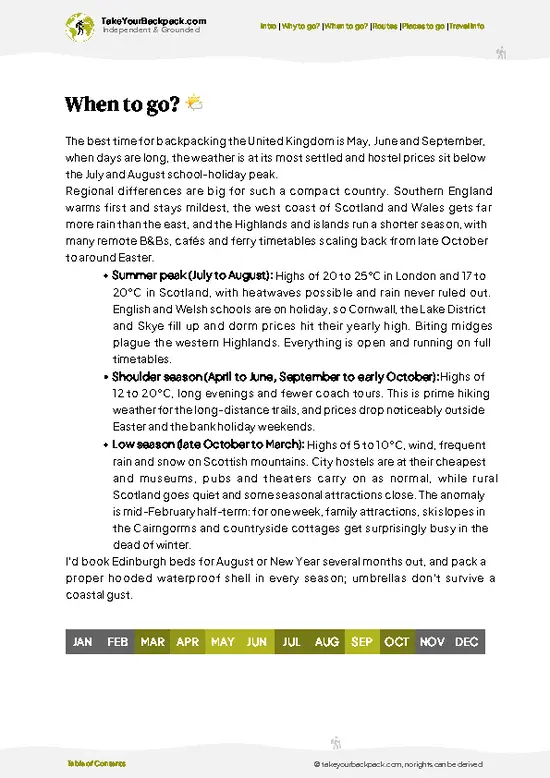
🌤️ When to go?When to go for the best experience


  • Weather: Spring and early autumn deliver the best balance—mild, often dry days with fewer downpours than winter. Summer can scorch sections, while winter drags in mud and frost.

  • Temperature: Expect highs around 15-20°C (59-68°F) in spring and autumn, perfect for pushing miles without overheating or freezing. Summer peaks near 25°C (77°F), which can sap your energy on exposed stretches.

  • Daylight Hours: Late spring through early autumn offers 14-16 hours of light, giving you a generous window to cover ground and savor the landscape without rushing.

  • Crowds: Peak summer draws more walkers, especially on weekends. Shoulder seasons keep the trail quieter, letting you own the path and the views.

  • Seasonal Activities: Spring blooms and autumn’s fiery foliage add a sensory layer to the trek.
read more 👉

  • Weather: Spring and early autumn deliver the best balance—mild, often dry days with fewer downpours than winter. Summer can scorch sections, while winter drags in mud and frost.

  • Temperature: Expect highs around 15-20°C (59-68°F) in spring and autumn, perfect for pushing miles without overheating or freezing. Summer peaks near 25°C (77°F), which can sap your energy on exposed stretches.

  • Daylight Hours: Late spring through early autumn offers 14-16 hours of light, giving you a generous window to cover ground and savor the landscape without rushing.

  • Crowds: Peak summer draws more walkers, especially on weekends. Shoulder seasons keep the trail quieter, letting you own the path and the views.

  • Seasonal Activities: Spring blooms and autumn’s fiery foliage add a sensory layer to the trek. Summer festivals in nearby towns can be a lively bonus or a distracting detour.

  • Price Fluctuations: Accommodation and transport costs spike in summer. Booking in shoulder seasons often nets better deals and more availability.


Pro-tip: Aim for late May or September—when the trail feels alive but not crowded, the weather is forgiving, and your wallet thanks you.


source: climatestotravel.comJANJanuary: below average for travelingFEBFebruary: below average for travelingMARMarch: good for travelingAPRApril: highly recommended for travelingMAYMay: excellent for travelingJUNJune: highly recommended for travelingJULJuly: good for travelingAUGAugust: good for travelingSEPSeptember: excellent for travelingOCTOctober: highly recommended for travelingNOVNovember: fair for travelingDECDecember: below average for traveling
united-kingdom-hike-glyndwrs-way
© Google |

✈️ The backpacker research shortcutthe UK Travel Guide

An offline-friendly backpacking guide with optimized travel routes, ranked highlights, transport advice, and the best areas to stay.
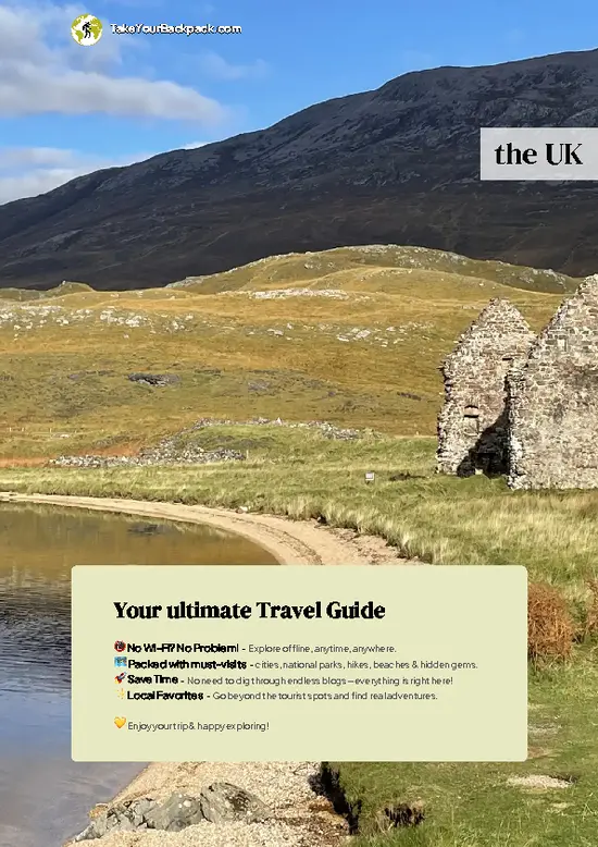
example page 0 from our offline Travel Guide for United Kingdom
example page 1 from our offline Travel Guide for United Kingdom
example page 2 from our offline Travel Guide for United Kingdom
example page 3 from our offline Travel Guide for United Kingdom
example page 4 from our offline Travel Guide for United Kingdom
example page 5 from our offline Travel Guide for United Kingdom
example page 6 from our offline Travel Guide for United Kingdom
example page 7 from our offline Travel Guide for United Kingdom
The digital guide (519 pages) contains:
145 highlights, ranked by travel appeal
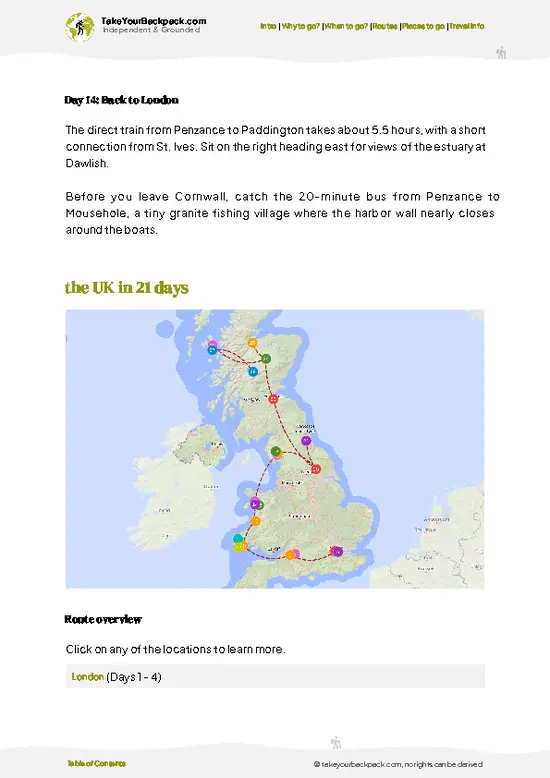
Optimized 7, 14 & 21-day travel routes
Cities, national parks, landmarks, beaches
How to get around
Offline-friendly for travel without Wi-Fi
👉 Click to see all 30+ guide features

📅 Plan smarter in minutes, not weeks
Month by month travel advice
Festivals & national holidays
Budget expectations

🗺️ Go to the right places, skip the overrated ones
Honest pros & cons of destinations
Top hikes, parks & viewpoints
Lesser-known places most travelers miss
Clear “worth it vs skip it” guidance

🛏️ Travel smoothly without rookie mistakes
Best areas to stay
Transport systems explained simply
Common scams & safety advice
SIM cards, money & practical tips

🌍 Understand the country, not just visit it
Culture & traditions
Local customs
Festivals worth planning around
Traveler-friendly historical context
Insights that make places more meaningful

📱 Built for real travel conditions
Fully downloadable PDF
Works completely offline
Optimized for phone use
Useful in remote areas & buses
Everything in one place
Save weeks of stressful planning
Get instant access to your full guide. 30‑day money-back guarantee.
+ Add another guide for just US$7.80

By proceeding you agree to our terms.
Sent to your inbox immediately after payment • 100% Secure Checkout
Best Backpacking Travel Advisor 2025 tourism awardBest Backpacking
Travel Advisor
2025
What others say about Take Your Backpack Guides:
⭐⭐⭐⭐⭐
Fantastic, amazing amount of information!
⭐⭐⭐⭐⭐
My goodness this is amazing, it's what I've been looking for hats off too you!
⭐⭐⭐⭐⭐
I think this is absolutely BRILLIANT
⭐⭐⭐⭐
Very complete and informative. It's still missing places, but I gotta to commend you
⭐⭐⭐⭐⭐
This is truly amazing, thank you, can't wait to explore it with my kids!
⭐⭐⭐⭐⭐
Awesome resource, thank you!
⭐⭐⭐⭐⭐
This is amazing! Can't wait to explore the ones I haven't seen
⭐⭐⭐⭐
I love this! Well done, great idea.
⭐⭐⭐⭐⭐
Thanks for taking the time to make this gem!
⭐⭐⭐⭐⭐
This might be the best website I've ever seen.
⭐⭐⭐⭐⭐
Congratulations, and thank you so much for your work; it's incredibly valuable.
⭐⭐⭐⭐
In all seriousness I think you did a great job pointing out the important spots
⭐⭐⭐⭐⭐
10/10 very good
⭐⭐⭐⭐⭐
As someone who's only just starting to visit regularly this is awesome, thank you.
⭐⭐⭐⭐
Thank you very much! I'm going to visit my dad, it's going to be very useful!
⭐⭐⭐⭐⭐
This is really cool! We'll be travelling for the first time and this definitely come in handy.
⭐⭐⭐⭐⭐
You are now our minister of culture, congratulations 👨‍💼
⭐⭐⭐⭐⭐
Just wanted to tell you that this is a pearl! Going to follow your recommendations.
⭐⭐⭐⭐⭐
This is so cool. I'll definitely be using the resource for my travels soon.
⭐⭐⭐⭐⭐
This is very impressive! Good work.
⭐⭐⭐⭐⭐
This is an amazing and informative site. Very well done!

🛏️ Where to stay?Best areas to stay in the UK

If you enjoy meeting fellow travelers, consider choosing hostels with high ratings for atmosphere. On the other hand, if you prefer having your own space, a hotel might be a better option.

🥾 Hike detailsKey facts about the Glyndŵr’s Way hike

Total Distance: Approximately 135 miles (217 km) from Knighton to Welshpool, winding through the beautiful Welsh countryside.

Estimated Duration: Most hikers take about 8 to 10 days to complete the trail, depending on pace and how many side trips you want to squeeze in.

Difficulty Level: Moderate. While there are some steep sections and uneven terrain, it’s generally manageable for those with a reasonable level of fitness.

Starting Point: Knighton is the official starting point.
  • Public Transport: You can reach Knighton via train from Shrewsbury or Hereford. The train station is a short walk
read more 👉
Total Distance: Approximately 135 miles (217 km) from Knighton to Welshpool, winding through the beautiful Welsh countryside.

Estimated Duration: Most hikers take about 8 to 10 days to complete the trail, depending on pace and how many side trips you want to squeeze in.

Difficulty Level: Moderate. While there are some steep sections and uneven terrain, it’s generally manageable for those with a reasonable level of fitness.

Starting Point: Knighton is the official starting point.
  • Public Transport: You can reach Knighton via train from Shrewsbury or Hereford. The train station is a short walk from the trailhead.

Major Landmarks Along the Route:
  • Offa’s Dyke: An ancient earthwork that forms part of the border between England and Wales, offering stunning views.
  • Radnor Forest: A beautiful area for some forested paths and wildlife spotting.
  • Lake Vyrnwy: A picturesque reservoir that’s perfect for a rest and some photos.
  • Welshpool: The endpoint, where you can explore the historic Powis Castle if you have time.

Type of Terrain and Scenery: Expect a mix of rolling hills, woodlands, and open moorland. The trail has a few rocky sections but mostly follows well-trodden paths. The scenery varies from lush valleys to sweeping vistas, especially as you approach the hills.

Typical Vegetation and Wildlife:
  • Vegetation: You’ll find a variety of flora, including heather, gorse, and mixed woodlands. In spring, the wildflowers are particularly vibrant.
  • Wildlife: Keep an eye out for red kites soaring overhead, as well as deer and various small mammals. The area is also home to a diverse range of bird species.

This trail is a gem for those who appreciate nature and a bit of history, so pack your bag, lace up your boots, and enjoy the adventure!
⚠️ Hiking info can sometimes be outdated or inaccurate. Before you hit the trail, check the latest conditions with locals. If you do spot anything that's off, I'd love to hear from you, so I can update it for fellow travelers.

🛡️ SafetyStaying Safe: What Travelers Should Know

Glyndŵr’s Way offers a straightforward yet invigorating experience, but don’t underestimate the UK’s weather. Conditions can shift rapidly; a sunny morning can morph into a drizzly afternoon. Dress in layers and pack a waterproof jacket.

The terrain is mostly gentle, but watch for muddy patches and uneven footing, especially after rain. Navigation is generally clear, but a map and compass are wise companions.

Wildlife encounters are rare, but if you spot sheep or deer, keep your distance and don’t feed them.

Timing is key; start early to enjoy the trail without the crowds. Respect fellow hikers by keeping noise down and leaving no trace. The reward? A cold pint at the end, savoring the journey you just conquered.

FAQFrequently asked questions about Glyndŵr’s Way

Glyndŵr’s Way typically takes 7 to 9 days to complete, covering approximately 135 miles (217 kilometers). Most hikers plan for around 8 days to balance distance and rest. The route is well-marked, allowing for flexible daily distances.
The difficulty of Glyndŵr’s Way is moderate to challenging due to its length and varied terrain, including hills and some steep sections. Hikers should be prepared for uneven paths and occasional weather changes, especially in spring and autumn. Good fitness and hiking experience are recommended.
No guide or permit is required to hike Glyndŵr’s Way. The trail is open to the public year-round, and hikers can navigate independently using maps or GPS. Local accommodations and services are available along the route for support.
⚠️ Things can change over time, so always validate details locally before you go.

Other British hikes near Glyndŵr’s Way

Explore more nearby:


💡 Not sure where to go next?
Create a personalized itinerary for the UK including Glyndŵr’s Way and the places that fit your trip.

Generate my itinerary

👉 Discover all hikes

Or checkout all the UK has to offer (think cities, towns, villages, national parks, hikes, beaches, festivals)
Country photo of the UK

We 💚 feedbackSumming up the experience

Glyndŵr’s Way is a breath of fresh air, literally. The rolling hills and wild landscapes make every step feel like a mini-adventure, and the views from the ridges? Pure magic. But be ready for the weather—it can turn on a dime. One moment you’re basking in sun, the next you’re dodging rain. Embrace it; that’s part of the charm. Just pack a solid rain jacket, and you’re golden.

✈️ When did I visit the UK?
United Kingdom being my neighbour country with just the North Sea separating us, I visited it multiple times. In May 2015 I had a car trip through Southern England and Wales. In July 2023 I backpacked through Northern Ireland and in October 2023 I visited a friend I met in Pakistan, who showed me around Isle of Skye and Ullapool.

✍️ Help improve this page!
The information on this page is based on my own backpacking experience in the UK, supplemented with up-to-date research and feedback from other travelers. Travel details can change, so if you notice anything outdated or incomplete, feel free to let me know.


🙋‍♂️ Give feedback

👋 Meet the founderWho’s Behind Take Your Backpack?

Johan, backpacker and founder of TakeYourBackpackHi, I’m Johan (Netherlands 🇳🇱), the creator of TakeYourBackpack. Over the past decade, I’ve backpacked through 80+ countries across six continents, gaining extensive experience with independent travel, long-term trips, and overland routes.

This site is built on a combination of firsthand travel experience and carefully curated insights from other backpackers. Many guides are based on places I’ve personally visited, while others bring together tips, observations, and practical advice shared by trusted travelers I’ve met along the way.

The goal is to provide realistic, experience-driven guidance — not generic itineraries — so you can explore destinations with better context, clearer expectations, and more confidence.

Get full UK guide •
Instant download • 145 highlights • Full Offline guide