×

Venezuela🇻🇪 | hikesRoraimatabletop summit, quartz fields, alien rock formations | things to do and best time to go

Explore Gran SabanaExplore Pico Naiguatá

Backpacking in Roraima
🏆 Top pickhike ranked #1
By Johan Kruseman 🇳🇱 | Updated July 30, 2026

Your first real fork in the road with Roraima is simple but huge: do you commit to a multi‑day, leg-burning trek up the tepui, or do you stay in the lowlands and just admire that sheer tabletop from afar. That choice decides whether Roraima is a postcard… or a full-body experience. Roraima sits in southeastern Venezuela, in the Gran Sabana region of Bolívar state, right up against Brazil and Guyana. The classic hike runs about 5–7 days, with long, humid approaches across open savanna, a steep, muddy haul up the ramp, and then surreal, otherworldly wandering on the summit plateau. It’s tough but not technical. Public transport gets you as far as Santa Elena de Uairén; from there you rely on tours and 4x4s to reach Paraitepui, the trailhead. Compared to shorter Gran Sabana waterfalls or day hikes, Roraima demands more time, more grit, and rewards you with a stranger, wilder horizon.

Discover everything you want to know in the 📖 Venezuela Travel Guide.
Best time to go: November - April
Duration: 6 to 8 days
Distance: 40 kilometers
Total ascent: 1,200 meters
Safety warning

The current risk level for Venezuela is high. Check the advice before going.


Get your Venezuela guide
99 ranked highlights, routes & tips, works offline (369 pages)
Loading the map 🌍
CLICK TO FILTER
cities
towns
villages
landmarks
national parks
hikes
beaches
attractions
festivals
regions
SHOW COUNTRY’S BESTSHOW ALL

✨ Why go?
Ranked #1 hike in Venezuela
What makes this hike worth hiking

The hike to Roraima in Venezuela is a magnet for backpackers, and for good reason. First off, the scenery-to-effort ratio is off the charts. You’re not just trudging through the jungle; you’re climbing up to a tabletop mountain that feels like stepping onto another planet. The views from the summit? They’ll make your heart race and your camera work overtime.

Getting there is a breeze. Public transport options are plentiful, with buses zipping you to the trailhead without breaking the bank. This makes it easy to slot Roraima into your longer backpacking route through South America. You can tackle it as a quick detour or a highlight of your journey.

The flexible distances mean you can customize your trek. Whether you’re a weekend warrior or a seasoned pro, you can adjust your pace and distance … read more 👉
The hike to Roraima in Venezuela is a magnet for backpackers, and for good reason. First off, the scenery-to-effort ratio is off the charts. You’re not just trudging through the jungle; you’re climbing up to a tabletop mountain that feels like stepping onto another planet. The views from the summit? They’ll make your heart race and your camera work overtime.

Getting there is a breeze. Public transport options are plentiful, with buses zipping you to the trailhead without breaking the bank. This makes it easy to slot Roraima into your longer backpacking route through South America. You can tackle it as a quick detour or a highlight of your journey.

The flexible distances mean you can customize your trek. Whether you’re a weekend warrior or a seasoned pro, you can adjust your pace and distance to match your vibe.

And let’s not forget the low cost—this isn’t a trip that’ll drain your wallet. After a day of hiking, the first cold beer at base camp tastes like victory. The effort pays off in every way, making Roraima a must-do for any backpacker.
Want to include Roraima in your Venezuela route?
Create a personalized Venezuela itinerary that includes Roraima and the places that fit your trip — based on your travel style, budget, and available time. Get your route in seconds.

Generate my trip

💡 HighlightsEssential experiences to have while hiking the Roraima

  1. Summit plateau (the “tabletop”): the whole reason you came — a flat, ancient slab of sandstone that feels like another planet. Wind-scoured pavements, shallow pools and sudden cliffs create a surreal landscape you can walk across for hours; camping up there under moving clouds is an experience no ordinary mountain offers.
  2. Cliff edges and panoramic viewpoints: stand on the rim and look down into a sea of clouds, waterfalls plummeting off sheer walls and the patchwork of the Gran Sabana and neighbouring tepuis. The scale and verticality here (huge drops, uninterrupted vistas) make typical mountain overlooks feel tame by comparison.
  3. Strange rock sculptures and stone “rivers”: wind and rain have carved the sandstone into mushroom rocks, fissures, polished slabs and labyrinthine channels. Those
read more 👉
  1. Summit plateau (the “tabletop”): the whole reason you came — a flat, ancient slab of sandstone that feels like another planet. Wind-scoured pavements, shallow pools and sudden cliffs create a surreal landscape you can walk across for hours; camping up there under moving clouds is an experience no ordinary mountain offers.
  2. Cliff edges and panoramic viewpoints: stand on the rim and look down into a sea of clouds, waterfalls plummeting off sheer walls and the patchwork of the Gran Sabana and neighbouring tepuis. The scale and verticality here (huge drops, uninterrupted vistas) make typical mountain overlooks feel tame by comparison.
  3. Strange rock sculptures and stone “rivers”: wind and rain have carved the sandstone into mushroom rocks, fissures, polished slabs and labyrinthine channels. Those alien shapes — natural bowls, pillars and smooth stone paths — are photogenic and also change with the light, so every hour looks different.
  4. Endemic plants and tiny wildlife: up on the mesa you’ll see carnivorous pitcher plants (Heliamphora), compact shrubs, bizarre moss carpets and frogs or insects you won’t find anywhere else. Isolation created a micro-ecosystem; spotting these specialists is a big part of the trek’s otherworldly charm.
  5. The approach: shifting ecosystems and Pemon culture: the hike itself moves fast from grassy savannah to cloud forest then up the steep tepui walls — the variety of terrain is part of the fun. You’ll also usually travel with Pemón guides and camp with other trekkers, hear local legends (think “Lost World” vibes), and get a real sense of the place’s cultural and geological history.
Spotted a mistake or missing something? Contact us.
🌤️ When to go?Best time to hike the Roraima


  • Weather: The dry season from December to April is your best shot. Trails firm up, rivers drop, and the relentless mud turns manageable. Rain from May to November can flood paths and turn the trek into a slog through slippery chaos.

  • Temperature: Expect daytime highs around 20-25°C (68-77°F) on the plateau, but nights plunge to 5-10°C (41-50°F). Prepare for sharp chills after sunset, especially at higher elevations.

  • Daylight Hours: Roughly 11 to 12 hours of daylight year-round, but the dry season offers clearer skies and more reliable light for those long summit pushes.

  • Crowds: Peak season draws more trekkers, especially December through February. If you crave solitude, aim for the shoulder months of November or April, when the weather is still decent but fewer boots pound the trail.
read more 👉

  • Weather: The dry season from December to April is your best shot. Trails firm up, rivers drop, and the relentless mud turns manageable. Rain from May to November can flood paths and turn the trek into a slog through slippery chaos.

  • Temperature: Expect daytime highs around 20-25°C (68-77°F) on the plateau, but nights plunge to 5-10°C (41-50°F). Prepare for sharp chills after sunset, especially at higher elevations.

  • Daylight Hours: Roughly 11 to 12 hours of daylight year-round, but the dry season offers clearer skies and more reliable light for those long summit pushes.

  • Crowds: Peak season draws more trekkers, especially December through February. If you crave solitude, aim for the shoulder months of November or April, when the weather is still decent but fewer boots pound the trail.

  • Seasonal Activities: Dry months open up side hikes and camping spots that get washed out in the wet season. The plateau’s unique rock formations and endemic flora shine brightest when the sun’s out.

  • Price Fluctuations: Tour operators hike prices during peak season. Booking in the shoulder months can save you cash and hassle, plus you’ll avoid the scramble for guides and permits.


Pro-tip: Start your trek early in the dry season to lock in firm trails, cooler nights, and fewer crowds—this is when Roraima reveals its raw, unfiltered magic.


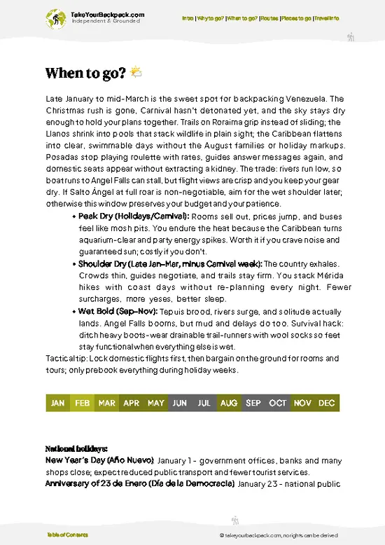
source: climatestotravel.comJANJanuary: excellent for travelingFEBFebruary: excellent for travelingMARMarch: excellent for travelingAPRApril: highly recommended for travelingMAYMay: fair for travelingJUNJune: fair for travelingJULJuly: fair for travelingAUGAugust: fair for travelingSEPSeptember: fair for travelingOCTOctober: fair for travelingNOVNovember: good for travelingDECDecember: excellent for traveling
venezuela-hike-roraima
© Google | Sayeh Co

✈️ The backpacker research shortcutVenezuela Travel Guide

An offline-friendly backpacking guide with optimized travel routes, ranked highlights, transport advice, and the best areas to stay.
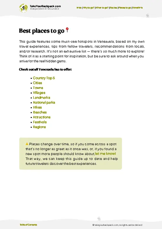
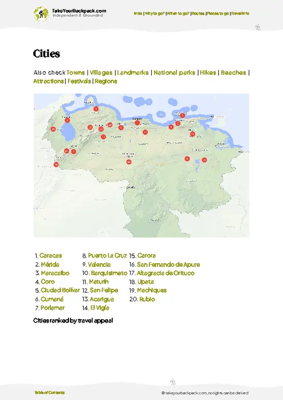
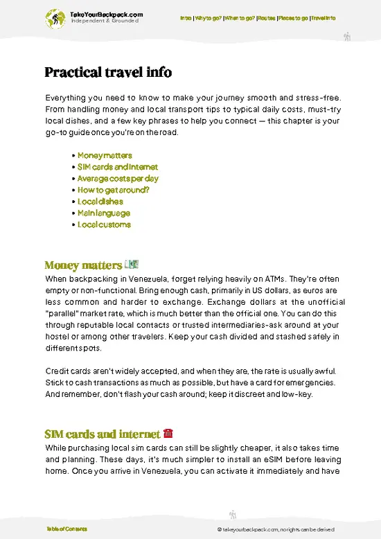
example page 0 from our offline Travel Guide for Venezuela
example page 1 from our offline Travel Guide for Venezuela
example page 2 from our offline Travel Guide for Venezuela
example page 3 from our offline Travel Guide for Venezuela
example page 4 from our offline Travel Guide for Venezuela
example page 5 from our offline Travel Guide for Venezuela
example page 6 from our offline Travel Guide for Venezuela
example page 7 from our offline Travel Guide for Venezuela
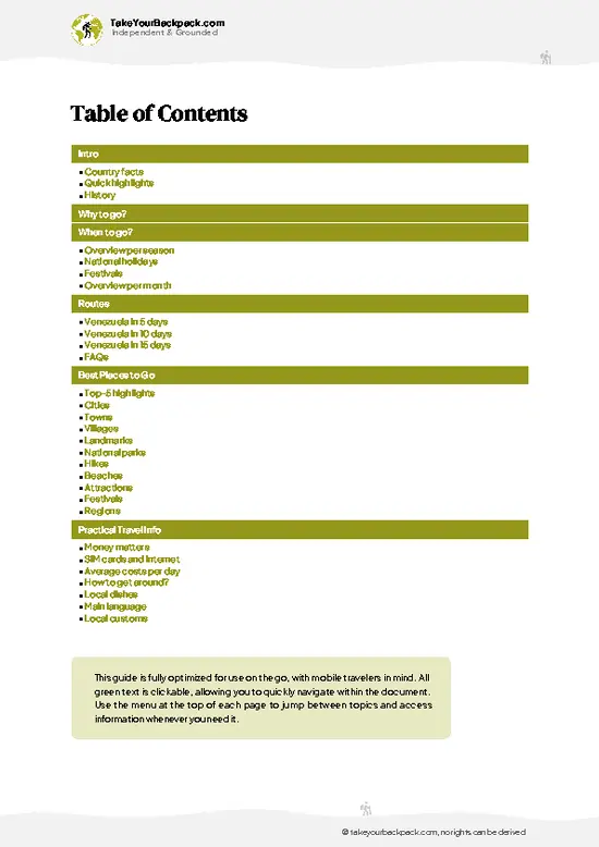
The digital guide (369 pages) contains:
99 highlights, ranked by travel appeal
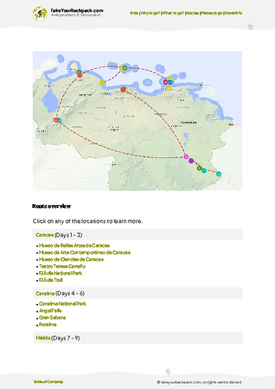
Optimized 5, 10 & 15-day travel routes
Cities, national parks, landmarks, beaches
How to get around
Offline-friendly for travel without Wi-Fi
👉 Click to see all 30+ guide features

📅 Plan smarter in minutes, not weeks
Month by month travel advice
Festivals & national holidays
Budget expectations

🗺️ Go to the right places, skip the overrated ones
Honest pros & cons of destinations
Top hikes, parks & viewpoints
Lesser-known places most travelers miss
Clear “worth it vs skip it” guidance

🛏️ Travel smoothly without rookie mistakes
Best areas to stay
Transport systems explained simply
Common scams & safety advice
SIM cards, money & practical tips

🌍 Understand the country, not just visit it
Culture & traditions
52 Essential phrases & customs
Festivals worth planning around
Traveler-friendly historical context
Insights that make places more meaningful

📱 Built for real travel conditions
Fully downloadable PDF
Works completely offline
Optimized for phone use
Useful in remote areas & buses
Everything in one place
Save weeks of stressful planning
Get instant access to your full guide. 30‑day money-back guarantee.


By proceeding you agree to our terms.
Sent to your inbox immediately after payment • 100% Secure Checkout
Best Backpacking Travel Advisor 2025 tourism awardBest Backpacking
Travel Advisor
2025
What others say about Take Your Backpack Guides:
⭐⭐⭐⭐⭐
Fantastic, amazing amount of information!
⭐⭐⭐⭐⭐
My goodness this is amazing, it's what I've been looking for hats off too you!
⭐⭐⭐⭐⭐
I think this is absolutely BRILLIANT
⭐⭐⭐⭐
Very complete and informative. It's still missing places, but I gotta to commend you
⭐⭐⭐⭐⭐
This is truly amazing, thank you, can't wait to explore it with my kids!
⭐⭐⭐⭐⭐
Awesome resource, thank you!
⭐⭐⭐⭐⭐
This is amazing! Can't wait to explore the ones I haven't seen
⭐⭐⭐⭐
I love this! Well done, great idea.
⭐⭐⭐⭐⭐
Thanks for taking the time to make this gem!
⭐⭐⭐⭐⭐
This might be the best website I've ever seen.
⭐⭐⭐⭐⭐
Congratulations, and thank you so much for your work; it's incredibly valuable.
⭐⭐⭐⭐
In all seriousness I think you did a great job pointing out the important spots
⭐⭐⭐⭐⭐
10/10 very good
⭐⭐⭐⭐⭐
As someone who's only just starting to visit regularly this is awesome, thank you.
⭐⭐⭐⭐
Thank you very much! I'm going to visit my dad, it's going to be very useful!
⭐⭐⭐⭐⭐
This is really cool! We'll be travelling for the first time and this definitely come in handy.
⭐⭐⭐⭐⭐
You are now our minister of culture, congratulations 👨‍💼
⭐⭐⭐⭐⭐
Just wanted to tell you that this is a pearl! Going to follow your recommendations.
⭐⭐⭐⭐⭐
This is so cool. I'll definitely be using the resource for my travels soon.
⭐⭐⭐⭐⭐
This is very impressive! Good work.
⭐⭐⭐⭐⭐
This is an amazing and informative site. Very well done!

🛏️ Where to stay?Choosing the right base

If you enjoy meeting fellow travelers, consider choosing hostels with high ratings for atmosphere. On the other hand, if you prefer having your own space, a hotel might be a better option.

🥾 Hike detailsEverything you need to know before hiking Roraima

Total Distance: The Roraima trek covers about 30 kilometers (18.6 miles) round trip. This includes the ascent and descent, plus some wandering around the summit.

Estimated Duration: Most hikers take around 6 to 8 days to complete the trek. This allows for a leisurely pace, time to soak in the views, and a couple of days on top to explore.

Difficulty Level: This trail is generally considered moderate to challenging. It’s not a technical climb, but the altitude and steep sections can be demanding, especially if you’re not acclimated.

Starting Point: The trek begins in the small village of Paraitepuy. … read more 👉
Total Distance: The Roraima trek covers about 30 kilometers (18.6 miles) round trip. This includes the ascent and descent, plus some wandering around the summit.

Estimated Duration: Most hikers take around 6 to 8 days to complete the trek. This allows for a leisurely pace, time to soak in the views, and a couple of days on top to explore.

Difficulty Level: This trail is generally considered moderate to challenging. It’s not a technical climb, but the altitude and steep sections can be demanding, especially if you’re not acclimated.

Starting Point: The trek begins in the small village of Paraitepuy.
  • Public Transport: To get there, take a bus from Ciudad Bolivar to Santa Elena de Uairén. From Santa Elena, you can catch a local truck or taxi to Paraitepuy. It’s about a 2-hour ride.

Major Landmarks Along the Route:
  • Base Camp: This is where most trekkers spend their first night, and it’s a great spot to meet fellow hikers.
  • The Wall: A dramatic cliff face that marks the ascent to the summit. It’s steep, but the views are worth it.
  • Summit of Roraima: Once you reach the top, you’re greeted with unique rock formations and stunning panoramic views.

Type of Terrain and Scenery: Expect a mix of rugged trails, rocky paths, and some muddy sections, especially during the rainy season. The ascent involves scrambling over boulders, and the summit features flat, grassy areas interspersed with fascinating geological formations. The scenery shifts from lush rainforest at the base to more barren, otherworldly landscapes at the top.

Typical Vegetation and Wildlife:
  • Vegetation: The lower slopes are rich in tropical plants, while the summit boasts unique flora like the iconic bromeliads and carnivorous plants.
  • Wildlife: Keep an eye out for various birds, including the elusive Roraima bushbird, and you might spot some small mammals and reptiles, though they can be shy.

This trek is a unique adventure, so be prepared for some challenges, but the rewards are absolutely stunning. Just make sure to pack wisely, stay hydrated, and respect the local environment. Happy trekking!
⚠️ Hiking info can sometimes be outdated or inaccurate. Before you hit the trail, check the latest conditions with locals. If you do spot anything that's off, I'd love to hear from you, so I can update it for fellow travelers.

🛡️ SafetyScams, Hazards, and Annoyances

Roraima’s trails are a wild ride, but they’re manageable with the right mindset and preparation. Expect weather to shift on a dime; one moment you’re basking in sun, the next you’re dodging rain. Layering is key—think breathable, waterproof gear.

The terrain can be steep and rocky, so good footwear is non-negotiable. Trekking poles can save your knees on the descents and help with balance on uneven footing. Navigation is straightforward, but keep an eye on trail markers; they’re your best friends in the thick of it.

Wildlife encounters are rare but magical. If you spot a Roraima’s unique fauna, admire from a distance. Respect their space; they’re not used to humans.

Altitude can sneak up on you, so pace yourself. Hydrate often and take breaks to acclimatize. The effort pays off when … read more 👉
Roraima’s trails are a wild ride, but they’re manageable with the right mindset and preparation. Expect weather to shift on a dime; one moment you’re basking in sun, the next you’re dodging rain. Layering is key—think breathable, waterproof gear.

The terrain can be steep and rocky, so good footwear is non-negotiable. Trekking poles can save your knees on the descents and help with balance on uneven footing. Navigation is straightforward, but keep an eye on trail markers; they’re your best friends in the thick of it.

Wildlife encounters are rare but magical. If you spot a Roraima’s unique fauna, admire from a distance. Respect their space; they’re not used to humans.

Altitude can sneak up on you, so pace yourself. Hydrate often and take breaks to acclimatize. The effort pays off when you reach the summit, where the views stretch endlessly, and the cold beer at the base camp tastes like victory.

Other Venezuelan hikes near Roraima

Explore more nearby:

  • Gran Sabana—open savannah, scattered tepuis, seasonal waterfalls| 107 km away
  • Angel Falls—tepui cliffs, misty rainforest, remote river approach| 218 km away
  • Pico Naiguatá—coastal views, steep ridges, cloud forest| 896 km away

💡 Not sure where to go next?
Create a personalized itinerary for Venezuela including Roraima and the places that fit your trip.

Generate my itinerary

👉 Discover all hikes

Or checkout all Venezuela has to offer (think cities, towns, villages, national parks, hikes, beaches, festivals)
Country photo of Venezuela

We 💚 feedbackParting advice and final tips

Roraima is a beast of a trek, but the payoff? Pure magic. The moment you stand on that flat summit, clouds swirling below, you’ll feel like you’re on another planet. The best surprise? The otherworldly rock formations that pop up like ancient sculptures. Just a heads-up: the weather can turn on a dime. Pack for rain and be ready for mud. Embrace the grit; it’s part of the adventure. Trust me, that first cold beer in the village after the hike tastes like victory.

✍️ Help improve this page!
The information on this page is based on in-depth research, insights shared by experienced travelers, and feedback from the local travel community in Venezuela. While every effort is made to keep the information accurate and current, conditions can change — so if you spot anything incorrect or outdated, please get in touch.


🙋‍♂️ Give feedback

👋 Meet the founderWho’s Behind Take Your Backpack?

Johan, backpacker and founder of TakeYourBackpackHi, I’m Johan (Netherlands 🇳🇱), the creator of TakeYourBackpack. Over the past decade, I’ve backpacked through 80+ countries across six continents, gaining extensive experience with independent travel, long-term trips, and overland routes.

This site is built on a combination of firsthand travel experience and carefully curated insights from other backpackers. Many guides are based on places I’ve personally visited, while others bring together tips, observations, and practical advice shared by trusted travelers I’ve met along the way.

The goal is to provide realistic, experience-driven guidance — not generic itineraries — so you can explore destinations with better context, clearer expectations, and more confidence.

Get full Venezuela guide •
Instant download • 99 highlights • Full Offline guide