
×

Brazil🇧🇷 | hikesCaminho do ItupavaMossy colonial cobbles, Rio Ipiranga bridges, car-free descent, barreado finish | things to do and best time to go

Explore Trilha do Monte CristaExplore Pico Paraná

Backpacking in Caminho do Itupava
👍 Recommendedhike ranked #12
By Johan Kruseman 🇳🇱 | Updated October 19, 2026

The bus from Curitiba’s rodoferroviária dropped me in Quatro Barras, and a driver pointed me toward the Borda do Campo trailhead without a word of English. Caminho do Itupava runs through the Atlantic Forest in Paraná state, in southern Brazil, descending from the Curitiba side of the Serra do Mar toward Morretes. It is an old stone-paved route of about 20 kilometers, moderate but steep and slippery, and the forest canopy blocks most views, so skip it if you want panoramas. Back it for the mossy cobbles, river crossings and bridges. Unlike the busier Graciosa road nearby, it keeps cars out entirely.

Discover everything you want to know in the 📖 Brazil Travel Guide.
Best time to go: May - September
Duration: 7 hours
Distance: 20 kilometers
Total ascent: 100 meters


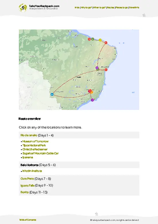
example page 0 from our offline Travel Guide for Brazil
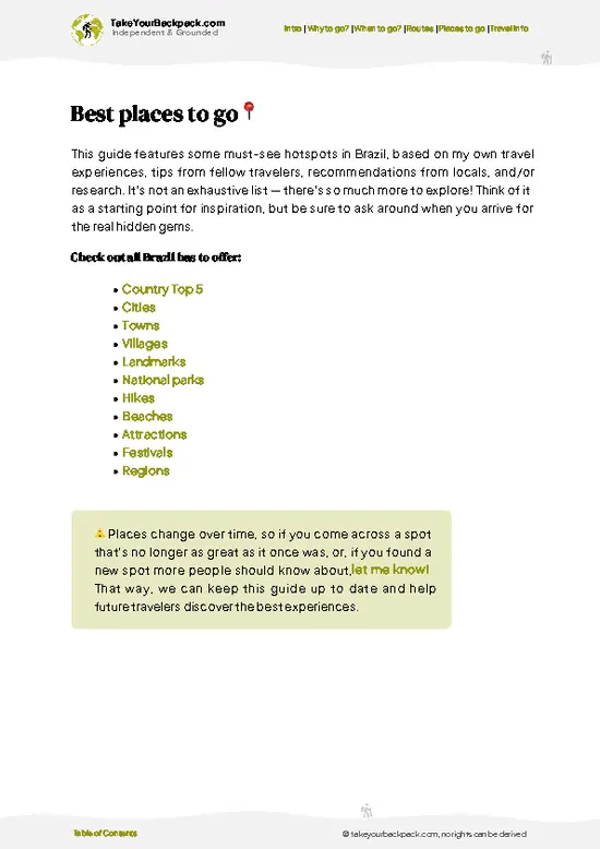
example page 1 from our offline Travel Guide for Brazil
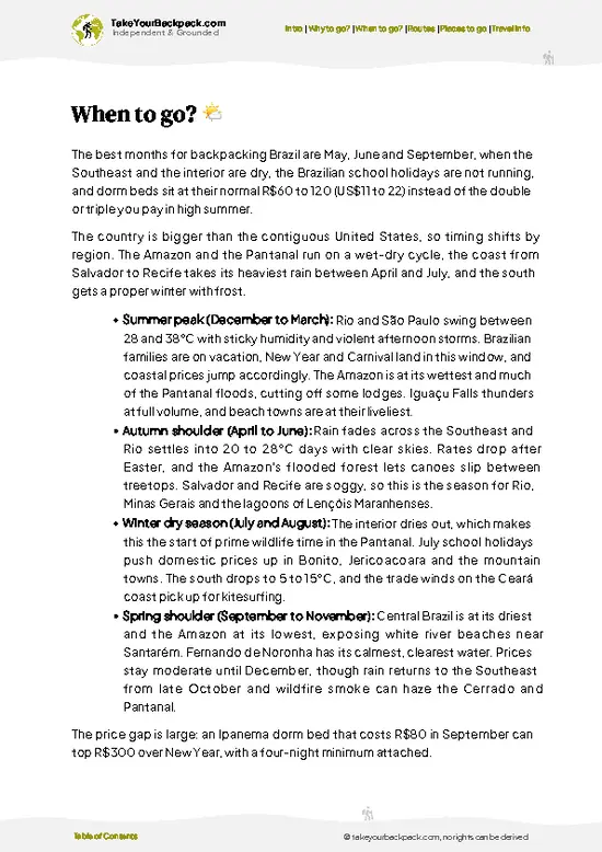
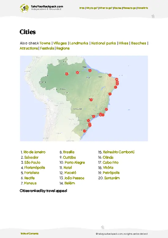
example page 2 from our offline Travel Guide for Brazil
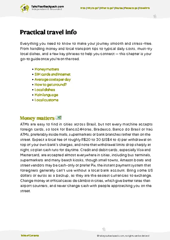
example page 3 from our offline Travel Guide for Brazil
example page 4 from our offline Travel Guide for Brazil
example page 5 from our offline Travel Guide for Brazil
example page 6 from our offline Travel Guide for Brazil
example page 7 from our offline Travel Guide for Brazil
Loading the map 🌍
CLICK TO FILTER
cities
towns
villages
landmarks
national parks
hikes
beaches
attractions
festivals
regions
SHOW COUNTRY’S BESTSHOW ALL

✨ Why go?
Ranked #12 hike in Brazil
Why visitors keep coming back

Caminho do Itupava gives you a full day inside intact Atlantic Forest without needing a guide, a permit fee or a night in a tent. The trail follows a colonial-era stone road that muleteers once used to haul goods between the plateau and the coast, so the walking surface is a story in itself. It also drops you at the coast side, where the town of Morretes serves its famous barreado stew, a proper reward for tired legs. Hikers like that it threads between Curitiba and the coast, so it fits a route toward Paranaguá, Ilha do Mel or the train line without backtracking. Distance is flexible, because you can exit at road crossings and shorten the day.

💡 HighlightsEssential experiences to have while hiking the Caminho do Itupava

  1. The stone-paved colonial road: Hand-laid cobbles from the 1700s and 1800s, now slick with moss, are the trail’s signature and the reason people come.
  2. Rio Ipiranga crossings and stone bridges: Several old bridges span clear streams, good spots for a cold-water foot soak and a snack.
  3. Atlantic Forest canopy: Giant ferns, bromeliads, palms and epiphyte-draped trees close in overhead, with birdsong and frogs constant on the descent.
  4. Morretes finish: The riverside town at the bottom has colonial facades and restaurants serving barreado, a slow-cooked beef stew eaten with manioc flour.
  5. Waterfall and creek stops: Small cascades beside the trail make natural rest points, especially after rain when the flow picks up.
Most walkers rush past the ruins of the old stone rest points and waystations beside the … read more 👉
  1. The stone-paved colonial road: Hand-laid cobbles from the 1700s and 1800s, now slick with moss, are the trail’s signature and the reason people come.
  2. Rio Ipiranga crossings and stone bridges: Several old bridges span clear streams, good spots for a cold-water foot soak and a snack.
  3. Atlantic Forest canopy: Giant ferns, bromeliads, palms and epiphyte-draped trees close in overhead, with birdsong and frogs constant on the descent.
  4. Morretes finish: The riverside town at the bottom has colonial facades and restaurants serving barreado, a slow-cooked beef stew eaten with manioc flour.
  5. Waterfall and creek stops: Small cascades beside the trail make natural rest points, especially after rain when the flow picks up.
Most walkers rush past the ruins of the old stone rest points and waystations beside the path, where you can still picture the mule trains stopping.
Spotted a mistake or missing something? Contact us.

Things to do near Caminho do Itupava

Ratings based on Tripadvisor reviews. When you book through this link, you support our work at no extra cost to you.

🌤️ When to go?Seasonal considerations and timing

  • Dry Season (May to September): Cooler and clearer, with highs around 20 to 24°C (68 to 75°F) and mornings near 8 to 12°C (46 to 54°F) in the Serra do Mar. Daylight runs roughly 11 to 12 hours, so start early. Mud drops, though drizzle still turns up.
  • Summer (December to March): Hot and humid at 25 to 30°C (77 to 86°F), with heavy afternoon storms that slicken the old stone paving. Fog and leeches are common.
  • Shoulder Months (April, October, November): Mild, around 18 to 26°C (64 to 79°F), with fewer people and steadier footing.
  • Weekends and Holidays: Cyclists and day hikers crowd the trail. Nearby Morretes lodging costs more then, roughly US$10 to 20 extra.
Hike on a weekday in June or July for dry stone, cool air and the trail mostly to yourself.

source: climatestotravel.comJANJanuary: below average for travelingFEBFebruary: below average for travelingMARMarch: below average for travelingAPRApril: fair for travelingMAYMay: excellent for travelingJUNJune: highly recommended for travelingJULJuly: highly recommended for travelingAUGAugust: excellent for travelingSEPSeptember: excellent for travelingOCTOctober: fair for travelingNOVNovember: below average for travelingDECDecember: below average for traveling
when-to-go

✈️ The backpacker research shortcutBrazil Travel Guide

An offline-friendly backpacking guide with optimized travel routes, ranked highlights, transport advice, and the best areas to stay.
example page 0 from our offline Travel Guide for Brazil
example page 1 from our offline Travel Guide for Brazil
example page 2 from our offline Travel Guide for Brazil
example page 3 from our offline Travel Guide for Brazil
example page 4 from our offline Travel Guide for Brazil
example page 5 from our offline Travel Guide for Brazil
example page 6 from our offline Travel Guide for Brazil
example page 7 from our offline Travel Guide for Brazil
The digital guide (410 pages) contains:
✅ 146 highlights, ranked by travel appeal
✅ Optimized 14, 21 & 30-day travel routes
✅ Cities, national parks, landmarks, beaches
✅ How to get around
✅ Offline-friendly for travel without Wi-Fi
👉 Click to see all 30+ guide features

📅 Plan smarter in minutes, not weeks
✅ Month by month travel advice
✅ Festivals & national holidays
✅ Budget expectations

🗺️ Go to the right places, skip the overrated ones
✅ Honest pros & cons of destinations
✅ Top hikes, parks & viewpoints
✅ Lesser-known places most travelers miss
✅ Clear “worth it vs skip it” guidance

🛏️ Travel smoothly without rookie mistakes
✅ Best areas to stay
✅ Transport systems explained simply
✅ Common scams & safety advice
✅ SIM cards, money & practical tips

🌍 Understand the country, not just visit it
✅ Culture & traditions
✅ 52 Essential phrases & customs
✅ Festivals worth planning around
✅ Traveler-friendly historical context
✅ Insights that make places more meaningful

📱 Built for real travel conditions
✅ Fully downloadable PDF
✅ Works completely offline
✅ Optimized for phone use
✅ Useful in remote areas & buses
✅ Everything in one place
Stop searching, start planning
Get instant access to your full guide. 30‑day money-back guarantee.
+ Add another guide for just

By proceeding you agree to our terms.
Sent to your inbox immediately after payment • 100% Secure Checkout
Best Backpacking Travel Advisor 2025 tourism awardBest Backpacking
Travel Advisor
2025
What others say about Take Your Backpack Guides:
⭐⭐⭐⭐⭐
Fantastic, amazing amount of information!
⭐⭐⭐⭐⭐
My goodness this is amazing, it's what I've been looking for hats off too you!
⭐⭐⭐⭐⭐
I think this is absolutely BRILLIANT
⭐⭐⭐⭐
Very complete and informative. It's still missing places, but I gotta to commend you
⭐⭐⭐⭐⭐
This is truly amazing, thank you, can't wait to explore it with my kids!
⭐⭐⭐⭐⭐
Awesome resource, thank you!
⭐⭐⭐⭐⭐
This is amazing! Can't wait to explore the ones I haven't seen
⭐⭐⭐⭐
I love this! Well done, great idea.
⭐⭐⭐⭐⭐
Thanks for taking the time to make this gem!
⭐⭐⭐⭐⭐
This might be the best website I've ever seen.
⭐⭐⭐⭐⭐
Congratulations, and thank you so much for your work; it's incredibly valuable.
⭐⭐⭐⭐
In all seriousness I think you did a great job pointing out the important spots
⭐⭐⭐⭐⭐
10/10 very good
⭐⭐⭐⭐⭐
As someone who's only just starting to visit regularly this is awesome, thank you.
⭐⭐⭐⭐
Thank you very much! I'm going to visit my dad, it's going to be very useful!
⭐⭐⭐⭐⭐
This is really cool! We'll be travelling for the first time and this definitely come in handy.
⭐⭐⭐⭐⭐
You are now our minister of culture, congratulations 👨‍💼
⭐⭐⭐⭐⭐
Just wanted to tell you that this is a pearl! Going to follow your recommendations.
⭐⭐⭐⭐⭐
This is so cool. I'll definitely be using the resource for my travels soon.
⭐⭐⭐⭐⭐
This is very impressive! Good work.
⭐⭐⭐⭐⭐
This is an amazing and informative site. Very well done!

🛏️ Where to stay?How to pick the right area

If you enjoy meeting fellow travelers, consider choosing hostels with high ratings for atmosphere. On the other hand, if you prefer having your own space, a hotel might be a better option.

🥾 Hike detailsHike details: route, duration, and difficulty of Caminho do Itupava

Caminho do Itupava is a historic descent through the Serra do Mar, easy to follow and well marked.
Total Distance: About 20 kilometers one way.
Estimated Duration: 6 to 8 hours downhill, longer if you start from Morretes and climb.
Difficulty: Moderate. The gradient is steady, but wet stones are slippery and the knees take a beating.
Starting Point: The upper trailhead is at Borda do Campo in Quatro Barras, reached by metropolitan bus from Curitiba to Quatro Barras, then a short taxi.
Major Landmarks:
  • Stone road: The historic cobbled surface for most of the way.
  • Bridges and streams: Several crossings
… read more 👉
Caminho do Itupava is a historic descent through the Serra do Mar, easy to follow and well marked.
Total Distance: About 20 kilometers one way.
Estimated Duration: 6 to 8 hours downhill, longer if you start from Morretes and climb.
Difficulty: Moderate. The gradient is steady, but wet stones are slippery and the knees take a beating.
Starting Point: The upper trailhead is at Borda do Campo in Quatro Barras, reached by metropolitan bus from Curitiba to Quatro Barras, then a short taxi.
Major Landmarks:
  • Stone road: The historic cobbled surface for most of the way.
  • Bridges and streams: Several crossings with places to refill and rest.
  • Porto de Cima: The end of the trail, a district of Morretes with food and onward transport.
Terrain and Scenery: Cobbles, packed earth and roots through steep forest, with occasional glimpses of ridges and mist.
Vegetation: Dense Atlantic Forest with tree ferns, palms, bromeliads, orchids and moss.
Wildlife: Toucans, tanagers, frogs, butterflies and capuchin monkeys appear now and then; insects and ticks are common.
⚠️ Hiking info can sometimes be outdated or inaccurate. Before you hit the trail, check the latest conditions with locals. If you do spot anything that's off, I'd love to hear from you, so I can update it for fellow travelers.

🛡️ SafetyTraveler Safety Guide

Caminho do Itupava is a well-trodden 20 km historic trail through Atlantic Forest in Paraná, and the main hazards are slippery stone and sudden rain. The old cobbled paving, laid in the 1800s, turns slick with moss and mud, so wear boots with real tread and shorten your stride on descents. Fog and downpours roll in from the Serra do Mar with little warning, so pack a rain jacket and a headlamp even for a daytime walk. Start early to finish before dark. Mosquitos and ticks are common, so use repellent and check your legs afterward. Snakes and spiders live in the forest, though they rarely bother hikers who stay on the path. Carry all your water, since streams are not reliable to drink from untreated, and mobile signal drops in the valleys.

FAQCommon questions from travelers

Most hikers finish Caminho do Itupava in 6 to 8 hours going downhill from Pico do Marumbi side near Quatro Barras toward Morretes, covering roughly 20 km. Starting at the Quatro Barras trailhead early, around dawn, leaves a comfortable margin before dark. Many people turn it into an overnight by camping near the trail midpoint, and the uphill direction from Morretes takes longer, often 8 to 10 hours.
Caminho do Itupava is moderate. The gradient is mostly gentle to steady, but the distance of about 20 km, the uneven wet cobblestones and the long descent into Morretes tire knees and ankles. Fit beginners can manage it with good boots, a day pack and 2 to 3 liters of water, and no technical climbing is needed. Rain makes the stones noticeably slicker, which adds an hour or more.
No guide is needed for Caminho do Itupava, since the route is well marked and follows an old paved road. A free registration is required at the Pico do Marumbi State Park entrance station near Quatro Barras, where staff note your name and start time, so bring photo ID. Hiring a local guide in Morretes or Curitiba costs roughly US$40 to 90 per person if you want company or the history explained. Camping at designated spots may need advance booking through the park authority.
⚠️ Things can change over time, so always validate details locally before you go.

Other Brazilian hikes near Caminho do Itupava

Explore more nearby:

  • Morro do Anhangava—Iron-staple rock pitch, Marumbi outlook, cloud-filled valleys, half-day climb| 5 km away
  • Morro do Canal—Rooty forest ascent, mountain creeks, quiet Serra do Mar summit| 10 km away
  • Pico Paraná—highest summit, exposed ridges, panoramic views| 25 km away

💡 Not sure where to go next?
Create a personalized itinerary for Brazil including Caminho do Itupava and the places that fit your trip.

Generate my itinerary

👉 Discover all hikes

Or checkout all Brazil has to offer (think cities, towns, villages, national parks, hikes, beaches, festivals)
Country photo of Brazil

We 💚 feedbackSumming up the experience

Caminho do Itupava is easy to walk but harder to enjoy in cheap sneakers, because the cobbles stay damp in the shade all day. I would bring shoes with real grip and a rain shell, and leave time to inspect the old stone waystations along the path.

✈️ When did I visit Brazil?
Call it good timing or luck, but I was able to celebrate Carnaval in Rio de Janeiro in February 2022, after a round trip in the north and east coast.

✍️ Help improve this page!
The information on this page is based on my own backpacking experience in Brazil, supplemented with up-to-date research and feedback from other travelers. Travel details can change, so if you notice anything outdated or incomplete, feel free to let me know.


🙋‍♂️ Give feedback

👋 Meet the founderWho’s Behind Take Your Backpack?

Johan, backpacker and founder of TakeYourBackpackHi, I’m Johan (Netherlands 🇳🇱), the creator of TakeYourBackpack. Over the past 3 decades, I’ve backpacked through 90+ countries across six continents, gaining extensive experience with independent travel, long-term trips, and overland routes.

This site is built on a combination of firsthand travel experience and carefully curated insights from other backpackers. Many guides are based on places I’ve personally visited, while others bring together tips, observations, and practical advice shared by trusted travelers I’ve met along the way.

The goal is to provide realistic, experience-driven guidance — not generic itineraries — so you can explore destinations with better context, clearer expectations, and more confidence.