
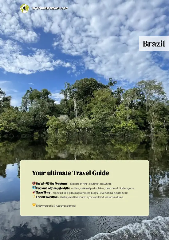

- Summit Viewpoint: The top gives a wide look over forested ridges toward the coastal plain, best on a clear morning.
- Forest Understory: The lower climb passes tall trees, ferns and bromeliads, with birdsong echoing through the damp air.
- Rocky Scramble Sections: Short stretches of exposed rock call for hands and careful footing, and they add a sense of progress.
- Mid-Trail Lookout: A clearing partway up opens a first view over the valley and works as a rest stop.
- Stream Crossings: Small streams cut across the path, cold enough to refill bottles if you treat the water.
Spotted a mistake or missing something? Contact us.

Bar-hopping and Food Tour in Curitiba

Sunset Train Ride

Scenic Train ride to historical cities of Morretes and Antonina

Full-day tour in Curitiba

Complete Tour to Ilha do Mel

Experience the Best of Curitiba: City Tour Highlights

Full Day Tour to Vila Velha and Buraco do Padre

8h full city tour in Curitiba

4 Hour City Tour in Curitiba


 Best Backpacking
 Hi, I’m Johan (Netherlands 🇳🇱), the creator of TakeYourBackpack. Over the past 3 decades, I’ve backpacked through 90+ countries across six continents, gaining extensive experience with independent travel, long-term trips, and overland routes.