×

Brazil🇧🇷 | hikesMorro do AnhangavaIron-staple rock pitch, Marumbi outlook, cloud-filled valleys, half-day climb | things to do and best time to go

Explore Morro do CanalExplore Ilha do Cardoso

Backpacking in Morro do Anhangava
👌 Worth visitinghike ranked #13
By Johan Kruseman 🇳🇱 | Updated October 19, 2026

Gravel crunches under your boots, then a cowbell somewhere below the rock face stops, and all you hear is wind in the grass. That is Morro do Anhangava, in the Serra da Baitaca near Quatro Barras, in the state of Paraná in southern Brazil, about 30 km east of Curitiba. The climb is short (roughly 6 to 8 km round trip) but steep, with scrambling and iron staples near the top, so skip it in rain. Buses reach Quatro Barras, but the trailhead needs a taxi or a lift. Views over the Marumbi range repay the effort. Unlike nearby Pico Paraná, it is a half-day outing, not a multi-day trek.

Discover everything you want to know in the 📖 Brazil Travel Guide.
Best time to go: March - September
Duration: 4 hours
Distance: 7 kilometers
Total ascent: 500 meters


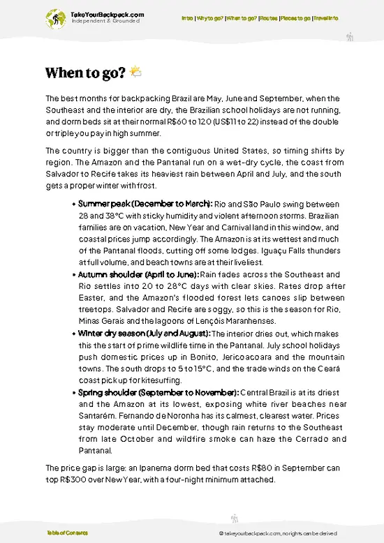
example page 0 from our offline Travel Guide for Brazil
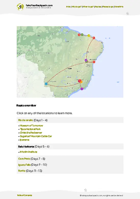
example page 1 from our offline Travel Guide for Brazil
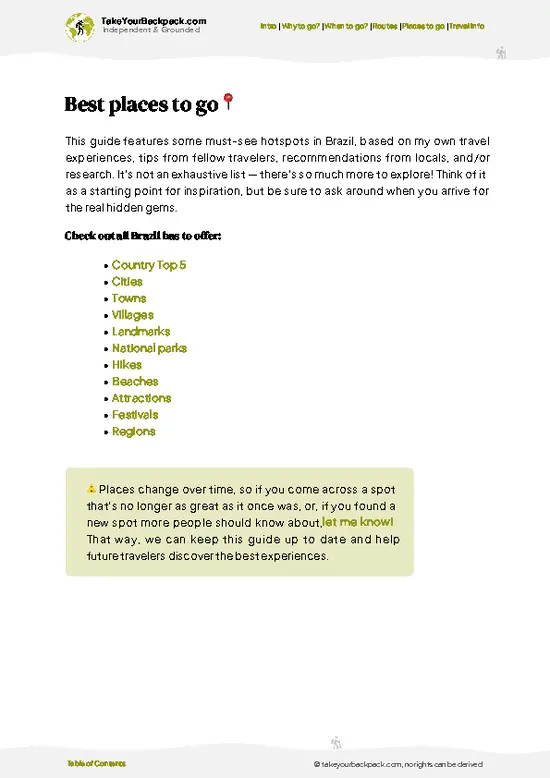
example page 2 from our offline Travel Guide for Brazil
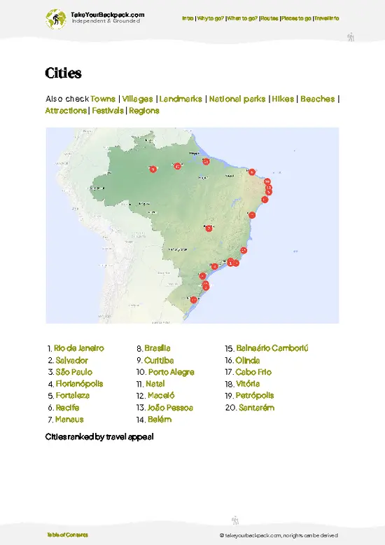
example page 3 from our offline Travel Guide for Brazil
example page 4 from our offline Travel Guide for Brazil
example page 5 from our offline Travel Guide for Brazil
example page 6 from our offline Travel Guide for Brazil
example page 7 from our offline Travel Guide for Brazil
Loading the map 🌍
CLICK TO FILTER
cities
towns
villages
landmarks
national parks
hikes
beaches
attractions
festivals
regions
SHOW COUNTRY’S BESTSHOW ALL

✨ Why go?
Ranked #13 hike in Brazil
Why visitors keep coming back

Morro do Anhangava gives you a rock summit at about 1,400 meters within a short drive of Curitiba, so you can be on top before lunch and back for dinner. The route is short, but the final scramble up the exposed rock slabs feels like proper mountaineering without the gear or the multi-day commitment. From the top, the Marumbi range and the Serra do Mar roll out toward the coast, and on clear mornings a sea of cloud fills the valleys below. It also fits neatly into a longer Paraná route, as a warm-up before the bigger peaks of Pico Paraná or Marumbi, and entry is free.

💡 HighlightsTop highlights of Morro do Anhangava

  1. Summit of Morro do Anhangava: A bare rock crown with a 360-degree view over the Serra do Mar, Curitiba's outskirts and the Marumbi peaks. This is what everyone climbs for.
  2. Staple and scramble section: The last stretch uses iron staples and rock steps, short but airy. It gives a taste of real climbing without technical gear.
  3. Marumbi range viewpoint: A ridge lookout where the jagged peaks stand out clearly, especially early in the day before haze builds.
  4. Sea of clouds: On cool mornings, fog fills the valleys below the summit and leaves the peaks standing above it. Arrive early to catch it.
  5. Campo grassland and Atlantic Forest edge: The lower trail crosses open highland meadow and patches of cloud-forest vegetation, with orchids and bromeliads on the rocks.
For a first visit, go for the summit itself, ideally on a clear morning.
Spotted a mistake or missing something? Contact us.

Things to do near Morro do Anhangava

Ratings based on Tripadvisor reviews. When you book through this link, you support our work at no extra cost to you.

🌤️ When to go?Seasonal considerations and timing

  • Autumn (April to June): Dry, crisp air and clear views toward Curitiba make this the best window. Days run 12 to 24°C (54 to 75°F), and daylight lasts roughly 11 hours.
  • Winter (July to August): Mornings can drop to 3 to 8°C (37 to 46°F), with frost and sharp visibility. Weekends bring the biggest climbing crowds.
  • Spring (September to November): Mild at 12 to 25°C (54 to 77°F), but showers return and the rock turns slick.
  • Summer (December to March): Hot and humid at 17 to 28°C (63 to 82°F), with afternoon thunderstorms and fog. Days are longest, around 13 hours.
Start early on a weekday, since entry is free and the rock stays quieter.

source: climatestotravel.comJANJanuary: fair for travelingFEBFebruary: fair for travelingMARMarch: good for travelingAPRApril: excellent for travelingMAYMay: excellent for travelingJUNJune: highly recommended for travelingJULJuly: good for travelingAUGAugust: good for travelingSEPSeptember: excellent for travelingOCTOctober: fair for travelingNOVNovember: fair for travelingDECDecember: fair for traveling
when-to-go

✈️ The backpacker research shortcutBrazil Travel Guide

An offline-friendly backpacking guide with optimized travel routes, ranked highlights, transport advice, and the best areas to stay.
example page 0 from our offline Travel Guide for Brazil
example page 1 from our offline Travel Guide for Brazil
example page 2 from our offline Travel Guide for Brazil
example page 3 from our offline Travel Guide for Brazil
example page 4 from our offline Travel Guide for Brazil
example page 5 from our offline Travel Guide for Brazil
example page 6 from our offline Travel Guide for Brazil
example page 7 from our offline Travel Guide for Brazil
The digital guide (410 pages) contains:
✅ 146 highlights, ranked by travel appeal
✅ Optimized 14, 21 & 30-day travel routes
✅ Cities, national parks, landmarks, beaches
✅ How to get around
✅ Offline-friendly for travel without Wi-Fi
👉 Click to see all 30+ guide features

📅 Plan smarter in minutes, not weeks
✅ Month by month travel advice
✅ Festivals & national holidays
✅ Budget expectations

🗺️ Go to the right places, skip the overrated ones
✅ Honest pros & cons of destinations
✅ Top hikes, parks & viewpoints
✅ Lesser-known places most travelers miss
✅ Clear “worth it vs skip it” guidance

🛏️ Travel smoothly without rookie mistakes
✅ Best areas to stay
✅ Transport systems explained simply
✅ Common scams & safety advice
✅ SIM cards, money & practical tips

🌍 Understand the country, not just visit it
✅ Culture & traditions
✅ 52 Essential phrases & customs
✅ Festivals worth planning around
✅ Traveler-friendly historical context
✅ Insights that make places more meaningful

📱 Built for real travel conditions
✅ Fully downloadable PDF
✅ Works completely offline
✅ Optimized for phone use
✅ Useful in remote areas & buses
✅ Everything in one place
Stop searching, start planning
Get instant access to your full guide. 30‑day money-back guarantee.
+ Add another guide for just

By proceeding you agree to our terms.
Sent to your inbox immediately after payment • 100% Secure Checkout
Best Backpacking Travel Advisor 2025 tourism awardBest Backpacking
Travel Advisor
2025
What others say about Take Your Backpack Guides:
⭐⭐⭐⭐⭐
Fantastic, amazing amount of information!
⭐⭐⭐⭐⭐
My goodness this is amazing, it's what I've been looking for hats off too you!
⭐⭐⭐⭐⭐
I think this is absolutely BRILLIANT
⭐⭐⭐⭐
Very complete and informative. It's still missing places, but I gotta to commend you
⭐⭐⭐⭐⭐
This is truly amazing, thank you, can't wait to explore it with my kids!
⭐⭐⭐⭐⭐
Awesome resource, thank you!
⭐⭐⭐⭐⭐
This is amazing! Can't wait to explore the ones I haven't seen
⭐⭐⭐⭐
I love this! Well done, great idea.
⭐⭐⭐⭐⭐
Thanks for taking the time to make this gem!
⭐⭐⭐⭐⭐
This might be the best website I've ever seen.
⭐⭐⭐⭐⭐
Congratulations, and thank you so much for your work; it's incredibly valuable.
⭐⭐⭐⭐
In all seriousness I think you did a great job pointing out the important spots
⭐⭐⭐⭐⭐
10/10 very good
⭐⭐⭐⭐⭐
As someone who's only just starting to visit regularly this is awesome, thank you.
⭐⭐⭐⭐
Thank you very much! I'm going to visit my dad, it's going to be very useful!
⭐⭐⭐⭐⭐
This is really cool! We'll be travelling for the first time and this definitely come in handy.
⭐⭐⭐⭐⭐
You are now our minister of culture, congratulations 👨‍💼
⭐⭐⭐⭐⭐
Just wanted to tell you that this is a pearl! Going to follow your recommendations.
⭐⭐⭐⭐⭐
This is so cool. I'll definitely be using the resource for my travels soon.
⭐⭐⭐⭐⭐
This is very impressive! Good work.
⭐⭐⭐⭐⭐
This is an amazing and informative site. Very well done!

🛏️ Where to stay?How to pick the right area

If you enjoy meeting fellow travelers, consider choosing hostels with high ratings for atmosphere. On the other hand, if you prefer having your own space, a hotel might be a better option.

🥾 Hike detailsRoute, distance, and difficulty explained

Total Distance: Morro do Anhangava is roughly 6 to 8 km round trip.
Duration: About 3 to 4 hours including time on top.
Difficulty: Moderate to hard for its length. The path is steep and the final section involves scrambling.
Starting Point: The trailhead is near Quatro Barras, east of Curitiba. Buses run from Curitiba to Quatro Barras, then you need a taxi or ride-share to the access road.
Major Landmarks:
  • Lower meadow: Open grass with the first views back toward the valley.
  • Rock slabs: Steep pitches where you use hands as well as feet.
  • Summit: A rocky top with wide views of the Marumbi range.
Terrain
… read more 👉
Total Distance: Morro do Anhangava is roughly 6 to 8 km round trip.
Duration: About 3 to 4 hours including time on top.
Difficulty: Moderate to hard for its length. The path is steep and the final section involves scrambling.
Starting Point: The trailhead is near Quatro Barras, east of Curitiba. Buses run from Curitiba to Quatro Barras, then you need a taxi or ride-share to the access road.
Major Landmarks:
  • Lower meadow: Open grass with the first views back toward the valley.
  • Rock slabs: Steep pitches where you use hands as well as feet.
  • Summit: A rocky top with wide views of the Marumbi range.
Terrain and Scenery: Dirt and rock path, slippery when wet, with exposed sections near the top.
Vegetation: Highland grassland, shrubs and Atlantic Forest fragments, with bromeliads clinging to the rock.
Wildlife: Mostly birds, along with insects and the occasional small mammal. Wear sturdy shoes and bring water.
⚠️ Hiking info can sometimes be outdated or inaccurate. Before you hit the trail, check the latest conditions with locals. If you do spot anything that's off, I'd love to hear from you, so I can update it for fellow travelers.

🛡️ SafetySafety Tips and Common Scams in Morro do Anhangava

Morro do Anhangava is a short, well-used climb, but the upper rock is steep and unforgiving when wet. Stick to dry days, because the granite slabs and clay path turn slick after rain, and fog can erase the route within minutes. Wear shoes with real grip, not sandals. Carry at least 1.5 liters of water, since there is none on the trail, and start early to avoid afternoon storms. The scrambling sections need hands, so keep packs small and stay off the exposed edges in wind. Cell signal is patchy, so tell someone your plan. Take your trash out and keep to the marked path to limit erosion.

FAQCommon questions from travelers

Most hikers need 3 to 5 hours round trip for Morro do Anhangava, including time at the summit. The trail from the Quatro Barras trailhead is roughly 3 to 4 kilometers each way, and the summit sits near 1,400 meters. Add an hour if you plan to linger for photos or a picnic.
Morro do Anhangava is a moderate hike with a steep, sustained climb and a final scramble over rock that uses hands. Total elevation gain is roughly 500 meters from the trailhead, and the clay path becomes slippery in the rain. Fit beginners can manage it with good shoes and an early start, while those wary of exposure may find the top section tricky.
Morro do Anhangava needs no permit and no guide, and entry is free as it sits within the Serra da Baitaca state park area near Quatro Barras. The trail is well marked and busy on weekends, so navigation is easy in clear weather. A local guide costs roughly US$20 to 50 for a group if you want company in fog or for the scramble.
⚠️ Things can change over time, so always validate details locally before you go.

Other Brazilian hikes near Morro do Anhangava

Explore more nearby:

  • Caminho do Itupava—Mossy colonial cobbles, Rio Ipiranga bridges, car-free descent, barreado finish| 5 km away
  • Morro do Canal—Rooty forest ascent, mountain creeks, quiet Serra do Mar summit| 14 km away
  • Trilha do Pico Paraná—South Brazil's high point, ridge camp, Camapuã side peak, cloud sea| 23 km away

💡 Not sure where to go next?
Create a personalized itinerary for Brazil including Morro do Anhangava and the places that fit your trip.

Generate my itinerary

👉 Discover all hikes

Or checkout all Brazil has to offer (think cities, towns, villages, national parks, hikes, beaches, festivals)
Country photo of Brazil

We 💚 feedbackKey takeaways before you go

Plan a half day at Morro do Anhangava, starting early so the summit is clear and you are down before afternoon clouds roll in. If you have another day in the area, add a second hike nearby. I would bring gloves for the iron staples and skip it entirely after heavy rain.

✈️ When did I visit Brazil?
Call it good timing or luck, but I was able to celebrate Carnaval in Rio de Janeiro in February 2022, after a round trip in the north and east coast.

✍️ Help improve this page!
The information on this page is based on my own backpacking experience in Brazil, supplemented with up-to-date research and feedback from other travelers. Travel details can change, so if you notice anything outdated or incomplete, feel free to let me know.


🙋‍♂️ Give feedback

👋 Meet the founderWho’s Behind Take Your Backpack?

Johan, backpacker and founder of TakeYourBackpackHi, I’m Johan (Netherlands 🇳🇱), the creator of TakeYourBackpack. Over the past 3 decades, I’ve backpacked through 90+ countries across six continents, gaining extensive experience with independent travel, long-term trips, and overland routes.

This site is built on a combination of firsthand travel experience and carefully curated insights from other backpackers. Many guides are based on places I’ve personally visited, while others bring together tips, observations, and practical advice shared by trusted travelers I’ve met along the way.

The goal is to provide realistic, experience-driven guidance — not generic itineraries — so you can explore destinations with better context, clearer expectations, and more confidence.