
×

Colombia🇨🇴 | hikesSerranía de la Macarena Trailrainbow river, sandstone plateaus, endemic wildlife | things to do and best time to go

Explore Páramo de Ocetá TrailExplore Páramo de Sumapaz Trail

Backpacking in Serranía de la Macarena Trail
By Johan Kruseman 🇳🇱 | Updated October 15, 2026

Most people still picture Serranía de la Macarena as off-limits guerrilla country, but the reality on the ground now is far more controlled, guided, and regulated than wild-west. Tucked in Meta Department, where the Andes sag into jungle and savanna, the Serranía de la Macarena Trail feels less like a single hike and more like a sweaty, guided obstacle course through heat, sand, rock, and river. The payoff is huge: surreal Caño Cristales colors in season, wide open llanos, and cliffs that drop into dense green. It’s moderately hard, more for humidity and strict pacing than altitude, and the public-transport approach via Villavicencio or Bogotá plus local flights and boats is a hassle compared with easy-access Colombian hikes like Cocora or Los Nevados. But when your boots hit that first red-and-gold riverbed, the logistics bill feels paid in full.

Discover everything you want to know in the 📖 Colombia Travel Guide.
Best time to go: December - March
Duration: 5 days
Distance: 60 kilometers
Total ascent: 1,200 meters


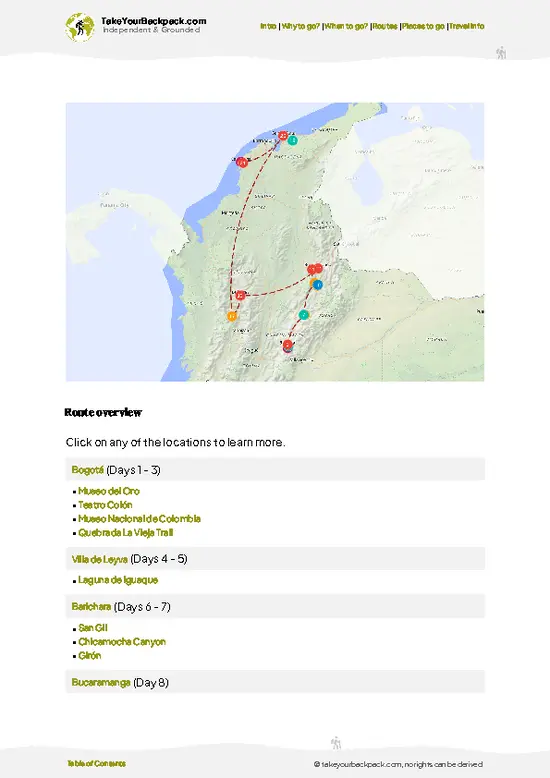
example page 0 from our offline Travel Guide for Colombia
example page 1 from our offline Travel Guide for Colombia
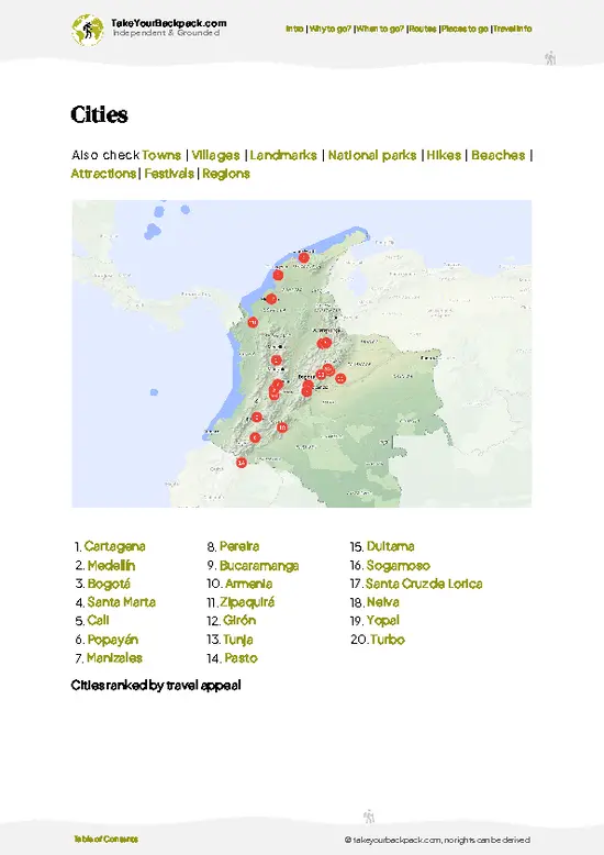
example page 2 from our offline Travel Guide for Colombia
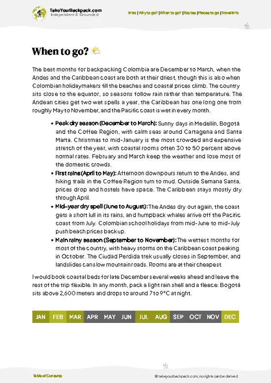
example page 3 from our offline Travel Guide for Colombia
example page 4 from our offline Travel Guide for Colombia
example page 5 from our offline Travel Guide for Colombia
example page 6 from our offline Travel Guide for Colombia
example page 7 from our offline Travel Guide for Colombia
Loading the map 🌍
CLICK TO FILTER
cities
towns
villages
landmarks
national parks
hikes
beaches
attractions
festivals
regions
SHOW COUNTRY’S BESTSHOW ALL

✨ Why go?
Ranked #99 hike in Colombia
What makes it a must-see hike

The Serranía de la Macarena Trail is a magnet for backpackers craving a blend of challenge and reward. Picture this: you’re trudging through lush greenery, the air thick with the scent of damp earth and wildflowers, and suddenly, you’re greeted by jaw-dropping vistas that make every step worthwhile. The scenery-to-effort ratio here is off the charts; you’ll sweat, but the payoff is a panorama that feels like a secret only you and the mountains share.

Getting there is a breeze. Public transport options are plentiful, whisking you from Bogotá to the trailhead without breaking the bank. The low cost of both travel and accommodation means you can splurge on a cold beer at the end of the day without guilt.

Flexibility is key; you can tailor your hike to fit your pace, whether you want a quick … read more 👉
The Serranía de la Macarena Trail is a magnet for backpackers craving a blend of challenge and reward. Picture this: you’re trudging through lush greenery, the air thick with the scent of damp earth and wildflowers, and suddenly, you’re greeted by jaw-dropping vistas that make every step worthwhile. The scenery-to-effort ratio here is off the charts; you’ll sweat, but the payoff is a panorama that feels like a secret only you and the mountains share.

Getting there is a breeze. Public transport options are plentiful, whisking you from Bogotá to the trailhead without breaking the bank. The low cost of both travel and accommodation means you can splurge on a cold beer at the end of the day without guilt.

Flexibility is key; you can tailor your hike to fit your pace, whether you want a quick jaunt or an extended trek. Plus, it seamlessly fits into a longer backpacking route through Colombia, making it a perfect pit stop on your adventure. Embrace the grit, and let the trail reward you with its beauty.

💡 HighlightsWhat this place is best known for

  • Caño Cristales — the River of Five Colors: That surreal ribbon of reds, pinks, yellows and greens caused by the rare algae Macarenia clavigera is the park’s showstopper. It’s not just pretty — the shallow riffles and polished rock beds are unlike any river you’ve seen and are visible only in the right season (roughly July-November). Access is regulated and you’ll need a licensed guide, which keeps the place feeling wild rather than theme-parked.
  • Crystal pools and waterfalls (Caño Cristalitos and tributaries): Small cascades and deep-clear pools tucked into the sandstone make perfect swim spots and photo opportunities. Unlike the main river, some of these side streams let you cool off without trampling the algae beds — great for a refreshing break after a hot hike.
  • Panoramic hilltop viewpoints
… read more 👉
  • Caño Cristales — the River of Five Colors: That surreal ribbon of reds, pinks, yellows and greens caused by the rare algae Macarenia clavigera is the park’s showstopper. It’s not just pretty — the shallow riffles and polished rock beds are unlike any river you’ve seen and are visible only in the right season (roughly July-November). Access is regulated and you’ll need a licensed guide, which keeps the place feeling wild rather than theme-parked.
  • Crystal pools and waterfalls (Caño Cristalitos and tributaries): Small cascades and deep-clear pools tucked into the sandstone make perfect swim spots and photo opportunities. Unlike the main river, some of these side streams let you cool off without trampling the algae beds — great for a refreshing break after a hot hike.
  • Panoramic hilltop viewpoints over the Llanos: The serranía rises abruptly from flat plains, so even short climbs lead to sweeping vistas across the Llanos and distant forest. Sunrise or late afternoon light is magic — you really feel the scale and isolation of this massif, a contrast to tighter jungle trails elsewhere.
  • The mash-up of ecosystems and wildlife: The mountain is a crossroads where Amazon, Orinoco and Andean influences meet, so you’ll see odd plant communities, orchids and lots of birds — macaws, toucans and noisy howlers aren’t uncommon. For a budget hiker, the variety of habitats packed into a small area makes every day unpredictable and interesting.
  • Local town culture and ranger-led conservation (personal favorite): La Macarena town and the park guides give the place its human side — you’ll eat local food, hear stories about the land, and learn why conservation matters here. Supporting local guides and small guesthouses makes the trip feel authentic and keeps money in the community, which is honestly as rewarding as the scenery.
Spotted a mistake or missing something? Contact us.

🌤️ When to go?Best time to hike the Serranía de la Macarena Trail

  • Weather: The dry season from December to March offers the most reliable trail conditions. Rainfall drops sharply, turning muddy paths into firm ground. The wet season (April to November) floods parts of the trail, making some sections nearly impassable and the river crossings risky.
  • Temperature: Expect daytime highs around 28-32°C (82-90°F) with nights cooling to 18-22°C (64-72°F). The heat is steady year-round, but humidity spikes during the rainy months, turning every step into a sweat test.
  • Daylight Hours: Roughly 11-12 hours of daylight year-round, with sunrise around 5:30-6:00 AM and sunset near 5:30-6:00 PM. Early starts are essential to avoid afternoon heat and maximize your trekking window.
  • Crowds: Peak season coincides with the dry months and local holidays, especially December
… read more 👉
  • Weather: The dry season from December to March offers the most reliable trail conditions. Rainfall drops sharply, turning muddy paths into firm ground. The wet season (April to November) floods parts of the trail, making some sections nearly impassable and the river crossings risky.
  • Temperature: Expect daytime highs around 28-32°C (82-90°F) with nights cooling to 18-22°C (64-72°F). The heat is steady year-round, but humidity spikes during the rainy months, turning every step into a sweat test.
  • Daylight Hours: Roughly 11-12 hours of daylight year-round, with sunrise around 5:30-6:00 AM and sunset near 5:30-6:00 PM. Early starts are essential to avoid afternoon heat and maximize your trekking window.
  • Crowds: Peak season coincides with the dry months and local holidays, especially December and January. Trails fill up, and accommodations book fast. Off-season means solitude but prepare for slippery trails and fewer services.
  • Seasonal Activities: Dry season aligns with the best wildlife spotting and clearer river views. The wet season swells waterfalls and rivers, creating dramatic scenes but challenging navigation.
  • Price Fluctuations: Expect higher prices for guides, lodging, and transport during the dry season and holidays. Off-peak months offer better deals but come with trade-offs in trail conditions and comfort.
Pro-tip: Aim for late January to early March—dry trails, manageable crowds, and the sweet spot for wildlife activity. You’ll earn every breathtaking vista with less hassle.


source: climatestotravel.comJANJanuary: excellent for travelingFEBFebruary: excellent for travelingMARMarch: excellent for travelingAPRApril: fair for travelingMAYMay: fair for travelingJUNJune: fair for travelingJULJuly: fair for travelingAUGAugust: fair for travelingSEPSeptember: fair for travelingOCTOctober: fair for travelingNOVNovember: fair for travelingDECDecember: highly recommended for traveling
when-to-go

✈️ The backpacker research shortcutColombia Travel Guide

An offline-friendly backpacking guide with optimized travel routes, ranked highlights, transport advice, and the best areas to stay.
example page 0 from our offline Travel Guide for Colombia
example page 1 from our offline Travel Guide for Colombia
example page 2 from our offline Travel Guide for Colombia
example page 3 from our offline Travel Guide for Colombia
example page 4 from our offline Travel Guide for Colombia
example page 5 from our offline Travel Guide for Colombia
example page 6 from our offline Travel Guide for Colombia
example page 7 from our offline Travel Guide for Colombia
The digital guide (349 pages) contains:
✅ 115 highlights, ranked by travel appeal
✅ Optimized 7, 14 & 21-day travel routes
✅ Cities, national parks, landmarks, beaches
✅ How to get around
✅ Offline-friendly for travel without Wi-Fi
👉 Click to see all 30+ guide features

📅 Plan smarter in minutes, not weeks
✅ Month by month travel advice
✅ Festivals & national holidays
✅ Budget expectations

🗺️ Go to the right places, skip the overrated ones
✅ Honest pros & cons of destinations
✅ Top hikes, parks & viewpoints
✅ Lesser-known places most travelers miss
✅ Clear “worth it vs skip it” guidance

🛏️ Travel smoothly without rookie mistakes
✅ Best areas to stay
✅ Transport systems explained simply
✅ Common scams & safety advice
✅ SIM cards, money & practical tips

🌍 Understand the country, not just visit it
✅ Culture & traditions
✅ 52 Essential phrases & customs
✅ Festivals worth planning around
✅ Traveler-friendly historical context
✅ Insights that make places more meaningful

📱 Built for real travel conditions
✅ Fully downloadable PDF
✅ Works completely offline
✅ Optimized for phone use
✅ Useful in remote areas & buses
✅ Everything in one place
Stop searching, start planning
Get instant access to your full guide. 30‑day money-back guarantee.
+ Add another guide for just

By proceeding you agree to our terms.
Sent to your inbox immediately after payment • 100% Secure Checkout
Best Backpacking Travel Advisor 2025 tourism awardBest Backpacking
Travel Advisor
2025
What others say about Take Your Backpack Guides:
⭐⭐⭐⭐⭐
Fantastic, amazing amount of information!
⭐⭐⭐⭐⭐
My goodness this is amazing, it's what I've been looking for hats off too you!
⭐⭐⭐⭐⭐
I think this is absolutely BRILLIANT
⭐⭐⭐⭐
Very complete and informative. It's still missing places, but I gotta to commend you
⭐⭐⭐⭐⭐
This is truly amazing, thank you, can't wait to explore it with my kids!
⭐⭐⭐⭐⭐
Awesome resource, thank you!
⭐⭐⭐⭐⭐
This is amazing! Can't wait to explore the ones I haven't seen
⭐⭐⭐⭐
I love this! Well done, great idea.
⭐⭐⭐⭐⭐
Thanks for taking the time to make this gem!
⭐⭐⭐⭐⭐
This might be the best website I've ever seen.
⭐⭐⭐⭐⭐
Congratulations, and thank you so much for your work; it's incredibly valuable.
⭐⭐⭐⭐
In all seriousness I think you did a great job pointing out the important spots
⭐⭐⭐⭐⭐
10/10 very good
⭐⭐⭐⭐⭐
As someone who's only just starting to visit regularly this is awesome, thank you.
⭐⭐⭐⭐
Thank you very much! I'm going to visit my dad, it's going to be very useful!
⭐⭐⭐⭐⭐
This is really cool! We'll be travelling for the first time and this definitely come in handy.
⭐⭐⭐⭐⭐
You are now our minister of culture, congratulations 👨‍💼
⭐⭐⭐⭐⭐
Just wanted to tell you that this is a pearl! Going to follow your recommendations.
⭐⭐⭐⭐⭐
This is so cool. I'll definitely be using the resource for my travels soon.
⭐⭐⭐⭐⭐
This is very impressive! Good work.
⭐⭐⭐⭐⭐
This is an amazing and informative site. Very well done!

🛏️ Where to stay?Where staying makes the most sense

If you enjoy meeting fellow travelers, consider choosing hostels with high ratings for atmosphere. On the other hand, if you prefer having your own space, a hotel might be a better option.

🥾 Hike detailsKey facts about the Serranía de la Macarena Trail hike

Total Distance: Approximately 20 kilometers (12.4 miles) round trip.

Estimated Duration: Expect to spend around 6 to 8 hours on the trail, depending on your pace and how often you stop to take in the views or snap photos.

Difficulty Level: Moderate to challenging. There are sections with steep ascents and descents, so a decent level of fitness is recommended.

Starting Point: The trailhead is located near the town of La Macarena. You can reach La Macarena via public transport by taking a flight from Bogotá to Villavicencio, then catching a bus to La Macarena. The bus ride takes about 6 to 8 … read more 👉
Total Distance: Approximately 20 kilometers (12.4 miles) round trip.

Estimated Duration: Expect to spend around 6 to 8 hours on the trail, depending on your pace and how often you stop to take in the views or snap photos.

Difficulty Level: Moderate to challenging. There are sections with steep ascents and descents, so a decent level of fitness is recommended.

Starting Point: The trailhead is located near the town of La Macarena. You can reach La Macarena via public transport by taking a flight from Bogotá to Villavicencio, then catching a bus to La Macarena. The bus ride takes about 6 to 8 hours, so prepare for a long day of travel.

Major Landmarks Along the Route:
  • Caño Cristales: Known as the ”River of Five Colors,” this stunning river is a highlight of the area, especially during the rainy season when the aquatic plants bloom in vibrant hues.
  • La Macarena National Park: This park is home to diverse ecosystems, including tropical rainforests and savannas, making it a prime spot for wildlife watching.
  • Waterfalls: Along the trail, you’ll encounter several picturesque waterfalls that provide perfect spots for a refreshing break.

Type of Terrain and Scenery: The trail features a mix of rugged paths, rocky sections, and well-trodden areas. You’ll navigate through dense forests, open savannas, and along riverbanks, with stunning views of the surrounding hills and valleys.

Typical Vegetation and Wildlife:
  • Vegetation: Expect to see a variety of flora, including colorful orchids, ferns, and towering trees typical of tropical rainforests.
  • Wildlife: Keep an eye out for unique species such as capybaras, monkeys, and a myriad of bird species, including toucans and parrots.

Pack plenty of water, snacks, and a good camera, because you’re going to want to capture this natural beauty. And don’t forget your bug spray—mosquitoes can be quite friendly in these parts!
⚠️ Hiking info can sometimes be outdated or inaccurate. Before you hit the trail, check the latest conditions with locals. If you do spot anything that's off, I'd love to hear from you, so I can update it for fellow travelers.

🛡️ SafetyScams, Hazards, and Annoyances

The Serranía de la Macarena Trail offers a thrilling mix of lush landscapes and rugged terrain. Expect weather shifts; the sun can blaze one moment, then rain can drench you the next. Dress in layers and pack a lightweight poncho.

The trail itself is a dance of steep ascents and rocky paths. Footing can be tricky, especially after rain, so sturdy hiking boots are a must. Navigation is straightforward, but keep an eye on trail markers to avoid wandering off course.

Wildlife is abundant, from colorful birds to curious monkeys. Keep your distance and don’t feed them; respect their space.

Timing is key—start early to beat the heat and enjoy the cooler morning air. Embrace the challenge; every step leads to breathtaking views and the satisfaction of conquering this wild beauty.

FAQFrequently asked questions about Serranía de la Macarena Trail

The Serranía de la Macarena Trail hike typically takes 4 to 5 days to complete, covering around 60 kilometers through diverse terrain. Most trekkers allocate this time to fully experience the natural beauty and cultural sites along the route.
The difficulty of the Serranía de la Macarena Trail hike is moderate to challenging due to uneven paths, humidity, and occasional steep sections. Hikers should be prepared for tropical conditions and some physical endurance is required.
Yes, you need a guide and a permit to hike the Serranía de la Macarena Trail. Permits are managed by local authorities and guides are mandatory to ensure safety and environmental protection, with costs varying depending on the service provider.
⚠️ Things can change over time, so always validate details locally before you go.

Other Colombian hikes near Serranía de la Macarena Trail

Explore more nearby:


💡 Not sure where to go next?
Create a personalized itinerary for Colombia including Serranía de la Macarena Trail and the places that fit your trip.

Generate my itinerary

👉 Discover all hikes

Or checkout all Colombia has to offer (think cities, towns, villages, national parks, hikes, beaches, festivals)
Country photo of Colombia

We 💚 feedbackSumming up the experience

The Serranía de la Macarena Trail is a wild ride, where every step reveals a new layer of Colombia’s raw beauty. The vibrant biodiversity is a feast for the senses, and that first glimpse of the Caño Cristales’ colors? Pure magic. But be ready for the humidity; it’s relentless. You’ll sweat buckets, but trust me, the payoff is worth every drop. Embrace the grit, and you’ll find the reward waiting at the end of the trail.

✈️ When did I visit Colombia?
Did a good 3-week trip around Colombia in August 2014.

✍️ Help improve this page!
The information on this page is based on my own backpacking experience in Colombia, supplemented with up-to-date research and feedback from other travelers. Travel details can change, so if you notice anything outdated or incomplete, feel free to let me know.


🙋‍♂️ Give feedback

👋 Meet the founderWho’s Behind Take Your Backpack?

Johan, backpacker and founder of TakeYourBackpackHi, I’m Johan (Netherlands 🇳🇱), the creator of TakeYourBackpack. Over the past 3 decades, I’ve backpacked through 90+ countries across six continents, gaining extensive experience with independent travel, long-term trips, and overland routes.

This site is built on a combination of firsthand travel experience and carefully curated insights from other backpackers. Many guides are based on places I’ve personally visited, while others bring together tips, observations, and practical advice shared by trusted travelers I’ve met along the way.

The goal is to provide realistic, experience-driven guidance — not generic itineraries — so you can explore destinations with better context, clearer expectations, and more confidence.