×

Ghana🇬🇭 | hikesKwahu Plateau TrailEscarpment viewpoints, paragliding launch, Lake Volta views, market towns | things to do and best time to go

Explore Amedzofe Mountain TrailExplore Lake Bosomtwe Trail

Backpacking in Kwahu Plateau Trail
👀 For curious travelershike ranked #8
By Johan Kruseman 🇳🇱 | Updated October 22, 2026

Look at the big concrete houses along the ridge and you will notice many have shuttered windows and padlocked gates. Kwahu traders build them in their home towns, then live elsewhere, so the villages fill up only at Easter and funerals. The Kwahu Plateau Trail is an informal ridge route in Ghana’s Eastern Region, strung between Nkawkaw, Atibie, Mpraeso and Abetifi. Red dust, woodsmoke and wet cocoa leaves hit you on the climbs, and the scarp opens onto the Afram Plains haze. One afternoon above Atibie, I sat on warm rock sipping a sachet of cold water while kites circled below me. The cons: no waymarks, patchy shade, and plenty of tarred road. Trotros from Accra reach Nkawkaw easily, making it simpler than the remote northern hikes.

Discover everything you want to know in the 📖 Ghana Travel Guide.
Best time to go: October - April
Duration: 2 days
Distance: 25 kilometers
Total ascent: 600 meters


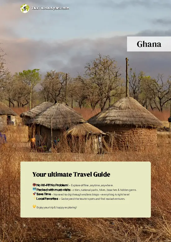
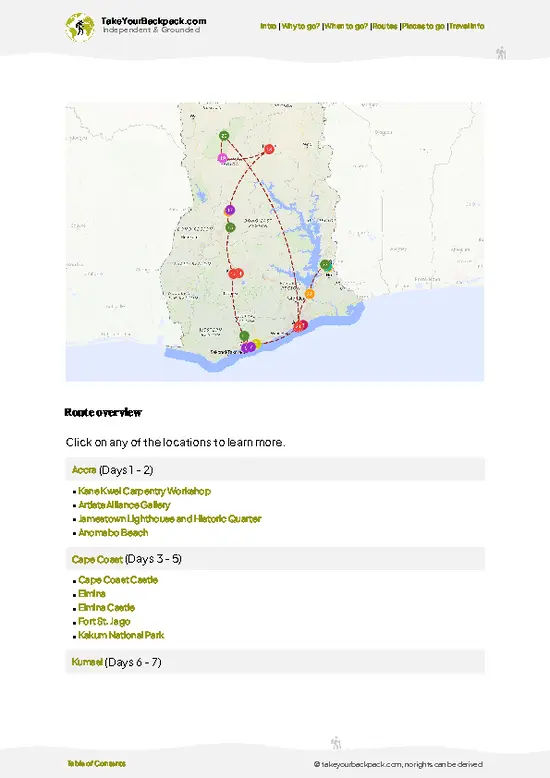
example page 0 from our offline Travel Guide for Ghana
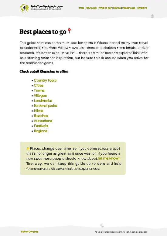
example page 1 from our offline Travel Guide for Ghana
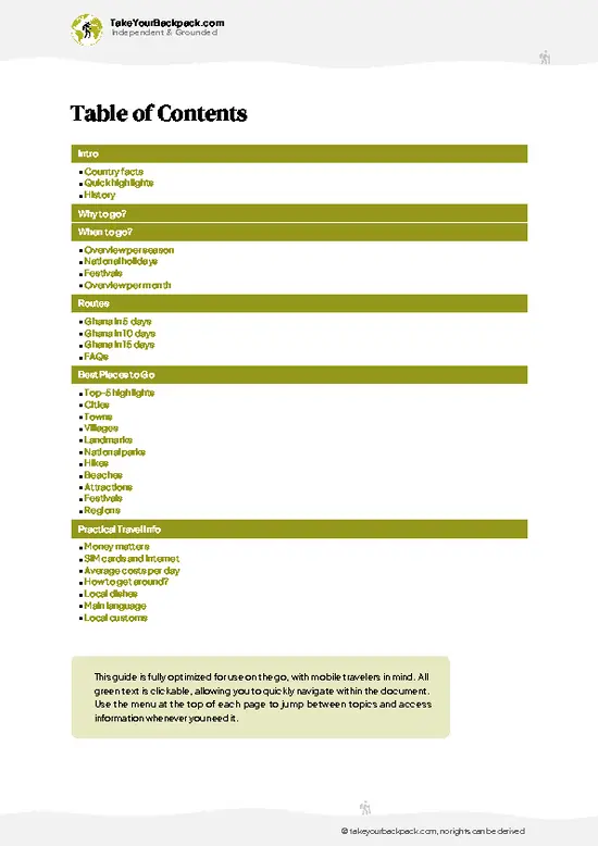
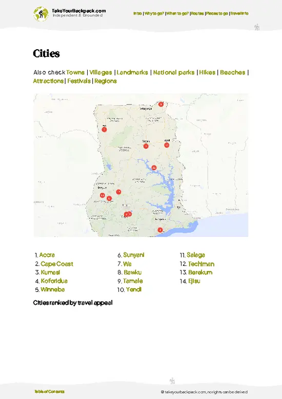
example page 2 from our offline Travel Guide for Ghana
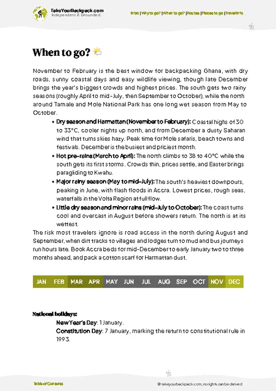
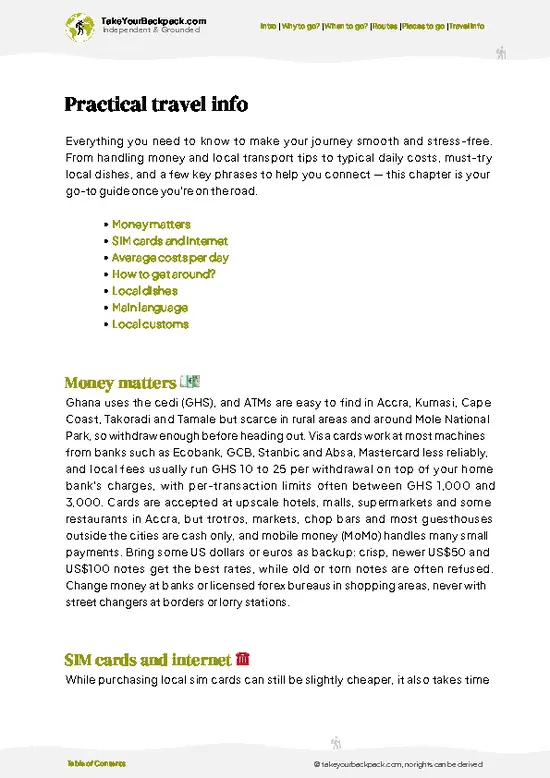
example page 3 from our offline Travel Guide for Ghana
example page 4 from our offline Travel Guide for Ghana
example page 5 from our offline Travel Guide for Ghana
example page 6 from our offline Travel Guide for Ghana
example page 7 from our offline Travel Guide for Ghana
Loading the map 🌍
CLICK TO FILTER
cities
towns
villages
landmarks
national parks
hikes
beaches
attractions
festivals
regions
SHOW COUNTRY’S BESTSHOW ALL

✨ Why go?
Ranked #8 hike in Ghana
What makes this hike worth hiking

Backpackers come for big views for modest effort. The escarpment rises roughly 500 to 700 meters, so you get far-reaching lookouts over the Afram Plains without a mountaineering fitness level. Public transport is easy: trotros run from Accra to Nkawkaw (about 3 to 4 hours), then shared taxis and minibuses climb to Mpraeso, Atibie and Abetifi. Costs stay low, with guesthouse rooms often US$10 to 25 and a plate of fufu or banku for a few dollars. Distances are flexible. You can do a half-day to a lookout, or link towns on foot over two to three days and hop a vehicle whenever legs tire. It also fits smoothly into a longer Ghana route, sitting between Accra, Lake Volta and Kumasi, and the towns give you a real look at Akan hill life rather than a staged trail.

💡 HighlightsTop highlights of Kwahu Plateau Trail

  1. Atibie Paragliding Launch Site: The ridge here is the launch point for the Easter paragliding festival. Even on a quiet day you can stand on the edge and watch the plains drop away for dozens of kilometers.
  2. Odweanoma Mountain Ridge: Locals use this name for the ridge line above Atibie. The path along the top gives sweeping lookouts and cooler air, with kites riding the thermals beside you.
  3. Abetifi Presbyterian Church and Town: Abetifi is one of the highest towns on the plateau and a historic mission center. The old Basel Mission buildings add a human layer to the walk, and the air up here feels noticeably fresher.
  4. Mpraeso and Obomeng Hill Towns: These are the plateau’s busiest market centers, with traders’ mansions, roadside chop bars and stacks of oranges and plantain. They show you how Kwahu
… read more 👉
  1. Atibie Paragliding Launch Site: The ridge here is the launch point for the Easter paragliding festival. Even on a quiet day you can stand on the edge and watch the plains drop away for dozens of kilometers.
  2. Odweanoma Mountain Ridge: Locals use this name for the ridge line above Atibie. The path along the top gives sweeping lookouts and cooler air, with kites riding the thermals beside you.
  3. Abetifi Presbyterian Church and Town: Abetifi is one of the highest towns on the plateau and a historic mission center. The old Basel Mission buildings add a human layer to the walk, and the air up here feels noticeably fresher.
  4. Mpraeso and Obomeng Hill Towns: These are the plateau’s busiest market centers, with traders’ mansions, roadside chop bars and stacks of oranges and plantain. They show you how Kwahu commerce shapes the landscape.
  5. Afram Plains Panoramas: From any open scarp edge the lowland spreads out hazy and flat to the northeast, a sharp contrast to the cocoa-shaded slopes beneath your feet.
I would pick the Atibie launch site first. It is easy to reach, gives the widest view for the least walking, and the whole plateau suddenly makes sense from that edge.
Spotted a mistake or missing something? Contact us.

Things to do near Kwahu Plateau Trail

Ratings based on Tripadvisor reviews. When you book through this link, you support our work at no extra cost to you.

🌤️ When to go?Seasonal considerations and timing

  • Dry Season (November to March): Best walking conditions, with dry trails and clear nights. Days reach 30 to 34°C (86 to 93°F) in the lowlands, a few degrees cooler on the ridge, and harmattan haze from December to February can flatten distant views. Daylight runs about 6am to 6pm.
  • Major Rains (April to July): Hot, humid, 22 to 30°C (72 to 86°F), with heavy downpours that turn red clay slick and slow progress. Everything is green, and views clear after storms.
  • Minor Rains (September to November): Shorter showers, easier than the main rains, with moderate crowds and fair prices.
  • Easter Festival: Paragliding and huge crowds around Atibie and Mpraeso. Rooms triple in price and book out weeks ahead, so go in a different week for quiet trails.
Aim for late November or early February, when skies are … read more 👉
  • Dry Season (November to March): Best walking conditions, with dry trails and clear nights. Days reach 30 to 34°C (86 to 93°F) in the lowlands, a few degrees cooler on the ridge, and harmattan haze from December to February can flatten distant views. Daylight runs about 6am to 6pm.
  • Major Rains (April to July): Hot, humid, 22 to 30°C (72 to 86°F), with heavy downpours that turn red clay slick and slow progress. Everything is green, and views clear after storms.
  • Minor Rains (September to November): Shorter showers, easier than the main rains, with moderate crowds and fair prices.
  • Easter Festival: Paragliding and huge crowds around Atibie and Mpraeso. Rooms triple in price and book out weeks ahead, so go in a different week for quiet trails.
Aim for late November or early February, when skies are clearer than in harmattan peak and rooms are cheap.


source: climatestotravel.comJANJanuary: excellent for travelingFEBFebruary: excellent for travelingMARMarch: excellent for travelingAPRApril: highly recommended for travelingMAYMay: fair for travelingJUNJune: fair for travelingJULJuly: fair for travelingAUGAugust: fair for travelingSEPSeptember: fair for travelingOCTOctober: highly recommended for travelingNOVNovember: excellent for travelingDECDecember: excellent for traveling
when-to-go

✈️ The backpacker research shortcutGhana Travel Guide

An offline-friendly backpacking guide with optimized travel routes, ranked highlights, transport advice, and the best areas to stay.
example page 0 from our offline Travel Guide for Ghana
example page 1 from our offline Travel Guide for Ghana
example page 2 from our offline Travel Guide for Ghana
example page 3 from our offline Travel Guide for Ghana
example page 4 from our offline Travel Guide for Ghana
example page 5 from our offline Travel Guide for Ghana
example page 6 from our offline Travel Guide for Ghana
example page 7 from our offline Travel Guide for Ghana
The digital guide (321 pages) contains:
✅ 105 highlights, ranked by travel appeal
✅ Optimized 5, 10 & 15-day travel routes
✅ Cities, national parks, landmarks, beaches
✅ How to get around
✅ Offline-friendly for travel without Wi-Fi
👉 Click to see all 30+ guide features

📅 Plan smarter in minutes, not weeks
✅ Month by month travel advice
✅ Festivals & national holidays
✅ Budget expectations

🗺️ Go to the right places, skip the overrated ones
✅ Honest pros & cons of destinations
✅ Top hikes, parks & viewpoints
✅ Lesser-known places most travelers miss
✅ Clear “worth it vs skip it” guidance

🛏️ Travel smoothly without rookie mistakes
✅ Best areas to stay
✅ Transport systems explained simply
✅ Common scams & safety advice
✅ SIM cards, money & practical tips

🌍 Understand the country, not just visit it
✅ Culture & traditions
✅ 52 Essential phrases & customs
✅ Festivals worth planning around
✅ Traveler-friendly historical context
✅ Insights that make places more meaningful

📱 Built for real travel conditions
✅ Fully downloadable PDF
✅ Works completely offline
✅ Optimized for phone use
✅ Useful in remote areas & buses
✅ Everything in one place
Stop searching, start planning
Get instant access to your full guide. 30‑day money-back guarantee.
+ Add another guide for just

By proceeding you agree to our terms.
Sent to your inbox immediately after payment • 100% Secure Checkout
Best Backpacking Travel Advisor 2025 tourism awardBest Backpacking
Travel Advisor
2025
What others say about Take Your Backpack Guides:
⭐⭐⭐⭐⭐
Fantastic, amazing amount of information!
⭐⭐⭐⭐⭐
My goodness this is amazing, it's what I've been looking for hats off too you!
⭐⭐⭐⭐⭐
I think this is absolutely BRILLIANT
⭐⭐⭐⭐
Very complete and informative. It's still missing places, but I gotta to commend you
⭐⭐⭐⭐⭐
This is truly amazing, thank you, can't wait to explore it with my kids!
⭐⭐⭐⭐⭐
Awesome resource, thank you!
⭐⭐⭐⭐⭐
This is amazing! Can't wait to explore the ones I haven't seen
⭐⭐⭐⭐
I love this! Well done, great idea.
⭐⭐⭐⭐⭐
Thanks for taking the time to make this gem!
⭐⭐⭐⭐⭐
This might be the best website I've ever seen.
⭐⭐⭐⭐⭐
Congratulations, and thank you so much for your work; it's incredibly valuable.
⭐⭐⭐⭐
In all seriousness I think you did a great job pointing out the important spots
⭐⭐⭐⭐⭐
10/10 very good
⭐⭐⭐⭐⭐
As someone who's only just starting to visit regularly this is awesome, thank you.
⭐⭐⭐⭐
Thank you very much! I'm going to visit my dad, it's going to be very useful!
⭐⭐⭐⭐⭐
This is really cool! We'll be travelling for the first time and this definitely come in handy.
⭐⭐⭐⭐⭐
You are now our minister of culture, congratulations 👨‍💼
⭐⭐⭐⭐⭐
Just wanted to tell you that this is a pearl! Going to follow your recommendations.
⭐⭐⭐⭐⭐
This is so cool. I'll definitely be using the resource for my travels soon.
⭐⭐⭐⭐⭐
This is very impressive! Good work.
⭐⭐⭐⭐⭐
This is an amazing and informative site. Very well done!

🛏️ Where to stay?Best areas to stay in Ghana

If you enjoy meeting fellow travelers, consider choosing hostels with high ratings for atmosphere. On the other hand, if you prefer having your own space, a hotel might be a better option.

🥾 Hike detailsTrail overview: what to expect on the hike

Total Distance: Roughly 40 to 50 km if you link ridge towns on foot, though the route is informal and can be shortened or extended.
Estimated Duration: 2 to 3 days of walking, or day hikes from a single base.
Difficulty: Moderate. Climbs are steep but short, and heat plus a lack of waymarks add to the effort.
Starting Point: Nkawkaw, reached by trotro from Accra (about 3 to 4 hours) or Kumasi. Shared taxis then run up to Mpraeso, Atibie and Abetifi.
Major Landmarks:
  • Atibie: Paragliding launch site and ridge viewpoints.
  • Mpraeso: Main administrative and market town on the scarp.
  • Abetifi: Historic mission
… read more 👉
Total Distance: Roughly 40 to 50 km if you link ridge towns on foot, though the route is informal and can be shortened or extended.
Estimated Duration: 2 to 3 days of walking, or day hikes from a single base.
Difficulty: Moderate. Climbs are steep but short, and heat plus a lack of waymarks add to the effort.
Starting Point: Nkawkaw, reached by trotro from Accra (about 3 to 4 hours) or Kumasi. Shared taxis then run up to Mpraeso, Atibie and Abetifi.
Major Landmarks:
  • Atibie: Paragliding launch site and ridge viewpoints.
  • Mpraeso: Main administrative and market town on the scarp.
  • Abetifi: Historic mission town high on the plateau.
  • Obomeng: Hill town with traders’ homes and lookouts.
Terrain and Scenery: Red laterite tracks, farm paths, stretches of tarred road and rocky edges. Views open over the Afram Plains to the northeast.
Vegetation: Semi-deciduous forest remnants, cocoa and plantain farms, oil palms, and grass along the exposed crest.
Wildlife: Mostly birds, especially raptors riding the updrafts, plus butterflies, lizards and the occasional snake. Large mammals are rare.
Practical Notes: Carry at least 3 liters of water, since shade is patchy. Cash is needed in smaller towns, and a GPS map is useful because there are no formal markers.
⚠️ Hiking info can sometimes be outdated or inaccurate. Before you hit the trail, check the latest conditions with locals. If you do spot anything that's off, I'd love to hear from you, so I can update it for fellow travelers.

🛡️ SafetyTraveler Safety Guide

The Kwahu Plateau Trail is a straightforward walk with no serious objective hazards, and most problems come from heat, wet red clay and poor preparation. The escarpment sits roughly 300 to 700 meters above sea level, so altitude is not a concern, but humidity makes even short climbs feel heavy. Start at first light and rest through the early afternoon, when the sun on open ridges is harshest. In the rainy months the laterite paths turn slick, so shoes with real tread matter more than trekking poles. Trails cross farms and run between villages, and junctions are often unmarked, so download an offline map and ask farmers or children for the next village by name. Snakes exist but avoid people; stay on cleared paths and watch where you place hands on rock. Dogs near settlements are usually harmless. … read more 👉
The Kwahu Plateau Trail is a straightforward walk with no serious objective hazards, and most problems come from heat, wet red clay and poor preparation. The escarpment sits roughly 300 to 700 meters above sea level, so altitude is not a concern, but humidity makes even short climbs feel heavy. Start at first light and rest through the early afternoon, when the sun on open ridges is harshest. In the rainy months the laterite paths turn slick, so shoes with real tread matter more than trekking poles. Trails cross farms and run between villages, and junctions are often unmarked, so download an offline map and ask farmers or children for the next village by name. Snakes exist but avoid people; stay on cleared paths and watch where you place hands on rock. Dogs near settlements are usually harmless. Carry small cedi notes for a local guide and tell your guesthouse your route.

FAQTraveler FAQ

Most walkers cover the Kwahu Plateau Trail in 2 to 3 days, linking Nkawkaw, Atibie, Mpraeso and Abetifi over roughly 40 to 50 km. Day hikers can reach the Atibie ridge viewpoints in 2 to 4 hours from Mpraeso. Since the route is informal, you can shorten it with shared taxis between towns.
The hike is moderate. Climbs up the escarpment are steep but short, and the main challenges are heat of 30°C (86°F) or more and unmarked paths. Slippery red clay during the April to July rains adds difficulty, so a day with an offline map and 3 liters of water is a sensible baseline.
No permit is required for walking the plateau, and no guide is mandatory. A local guide in Atibie or Mpraeso can help with route-finding and introductions, typically for about GH¢100 to 300 a day depending on negotiation. Ask permission in villages before camping, and expect to pay small fees only at specific paragliding or festival sites.
⚠️ Things can change over time, so always validate details locally before you go.

Other Ghanaian hikes near Kwahu Plateau Trail

Explore more nearby:


💡 Not sure where to go next?
Create a personalized itinerary for Ghana including Kwahu Plateau Trail and the places that fit your trip.

Generate my itinerary

👉 Discover all hikes

Or checkout all Ghana has to offer (think cities, towns, villages, national parks, hikes, beaches, festivals)
Country photo of Ghana

We 💚 feedbackFinal thoughts on hiking the Kwahu Plateau Trail

Come for the ridge views and the easy shift from Accra’s chaos to cool hilltop air, with kebab smoke and cocoa-scented slopes along the way. The drawback is the lack of any real trail infrastructure. You will lean on offline maps, local directions and a fair amount of road walking, so plan it as a ramble rather than a polished trek.

✈️ When did I visit Ghana?
Ghana I visited in December 2024, starting in Accra following the coast, then up north to Mole National park to finish in the Volta Region.

✍️ Help improve this page!
The information on this page is based on my own backpacking experience in Ghana, supplemented with up-to-date research and feedback from other travelers. Travel details can change, so if you notice anything outdated or incomplete, feel free to let me know.


🙋‍♂️ Give feedback

👋 Meet the founderWho’s Behind Take Your Backpack?

Johan, backpacker and founder of TakeYourBackpackHi, I’m Johan (Netherlands 🇳🇱), the creator of TakeYourBackpack. Over the past 3 decades, I’ve backpacked through 90+ countries across six continents, gaining extensive experience with independent travel, long-term trips, and overland routes.

This site is built on a combination of firsthand travel experience and carefully curated insights from other backpackers. Many guides are based on places I’ve personally visited, while others bring together tips, observations, and practical advice shared by trusted travelers I’ve met along the way.

The goal is to provide realistic, experience-driven guidance — not generic itineraries — so you can explore destinations with better context, clearer expectations, and more confidence.