

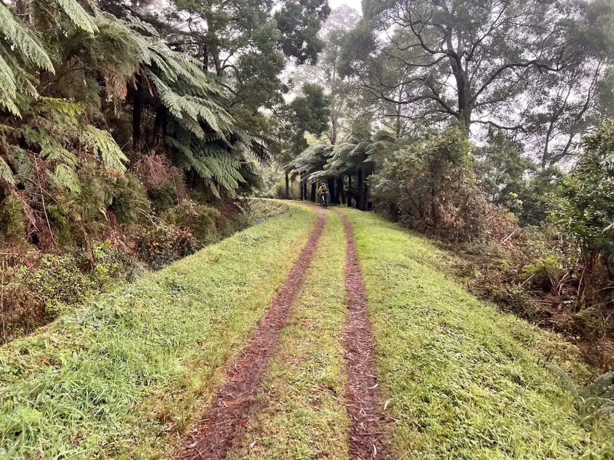
- Aqueduct Channel and Track: The historic water channel that gave the trail its name still runs beside the path, and it makes the walking dead easy and oddly peaceful.
- Mountain Ash Forest: Towering trunks climb far overhead along the route, and the light turns green and dim beneath them.
- Tree Fern Gullies: Dense ferns crowd the side slopes and creeks, thick and damp and very photogenic after rain.
- Old Timber Crossings: The trail passes small bridges and culverts that show how the aqueduct was engineered across gullies.
- Birdlife Corridors: Lyrebirds, whipbirds and parrots call from the understory, and a quiet walker has a fair chance of hearing a lyrebird mimic.
Spotted a mistake or missing something? Contact us.
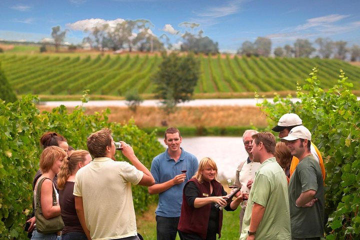
Yarra Valley Wine & Winery Tour from Melbourne - All Inclusive!

Yarra Valley Grazing Tour Wine, Cheese, Gin, Pizza from Melbourne

Ultimate Yarra Valley Chandon, Soumah & De Bortoli Cheese & Wine

From Melbourne: Hop On Hop Off Yarra Valley - RED Route

Yarra Valley Half-Day Winery Tour from Melbourne with Small Group

From Melbourne: Hop On Hop Off Yarra Valley - GREEN Route

Wine Tour Yarra Valley Five Star Experience

Yarra Valley: Food and Wine Small-Group Tour from Melbourne

Yarra River Half-Day Rafting Experience

 Best Backpacking
 Hi, I’m Johan (Netherlands 🇳🇱), the creator of TakeYourBackpack. Over the past 3 decades, I’ve backpacked through 90+ countries across six continents, gaining extensive experience with independent travel, long-term trips, and overland routes.