×

Canada🇨🇦 | townsFort SmithSlave River rapids, nesting pelicans, Wood Buffalo gateway | things to do and best time to go

Explore InuvikExplore Dawson Creek

Backpacking in Fort Smith
👀 For curious travelerstown ranked #28
By Johan Kruseman 🇳🇱 | Updated October 22, 2026

Fort Smith sits on Alberta’s doorstep, so Alberta’s wilderness and the Territories’ both lie within an hour. It lies in the north of Canada, in the Northwest Territories on the Slave River. Rapids roar, pelicans circle, and spruce smells sharp after rain. My mistake was arriving with no plan for Wood Buffalo; a day gone, a lesson learned. Social life is quiet. Hikers and paddlers will love it, nightlife seekers won’t.

Discover everything you want to know in the 📖 Canada Travel Guide.


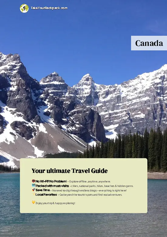
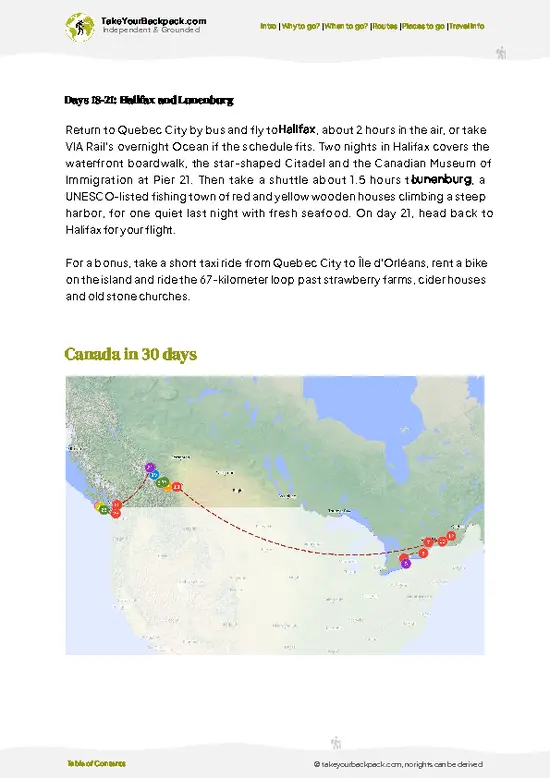
example page 0 from our offline Travel Guide for Canada
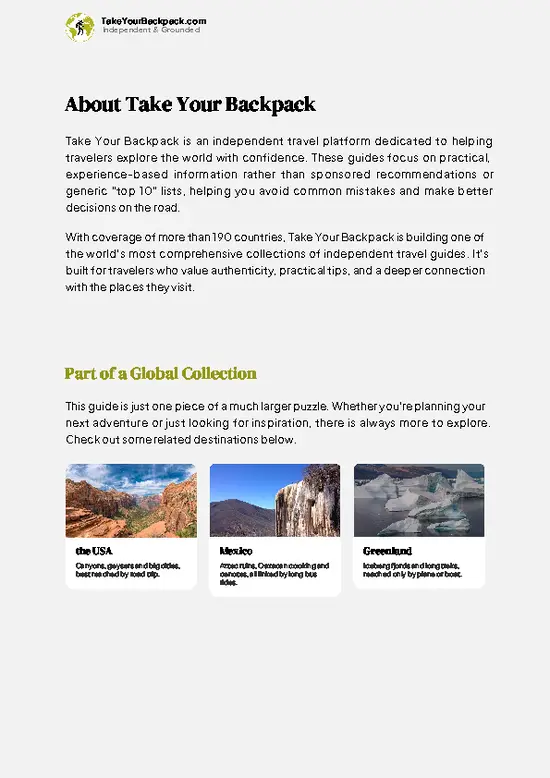
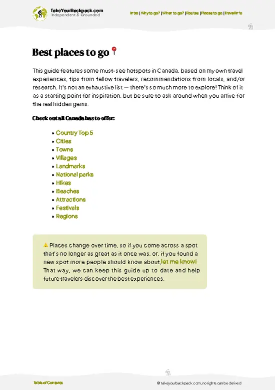
example page 1 from our offline Travel Guide for Canada
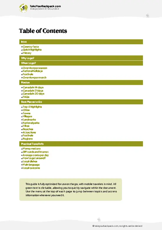
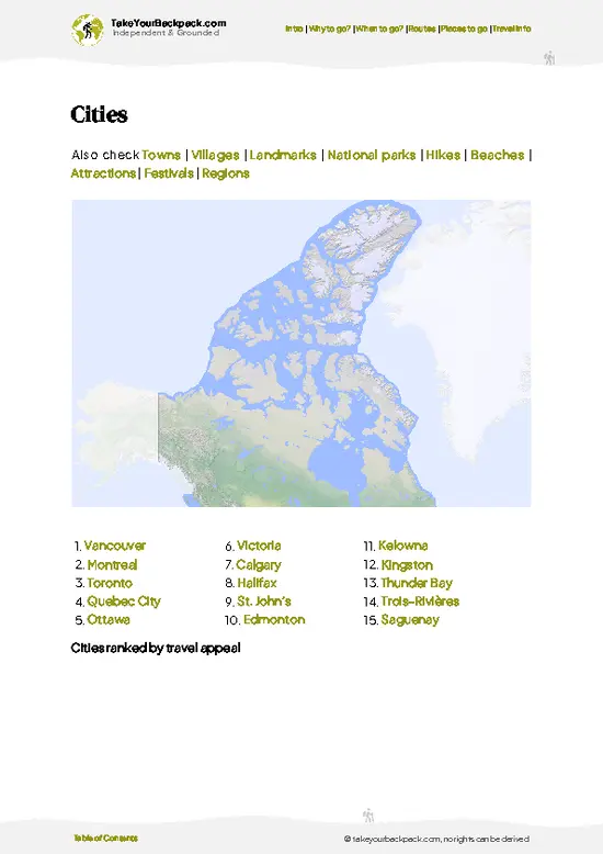
example page 2 from our offline Travel Guide for Canada
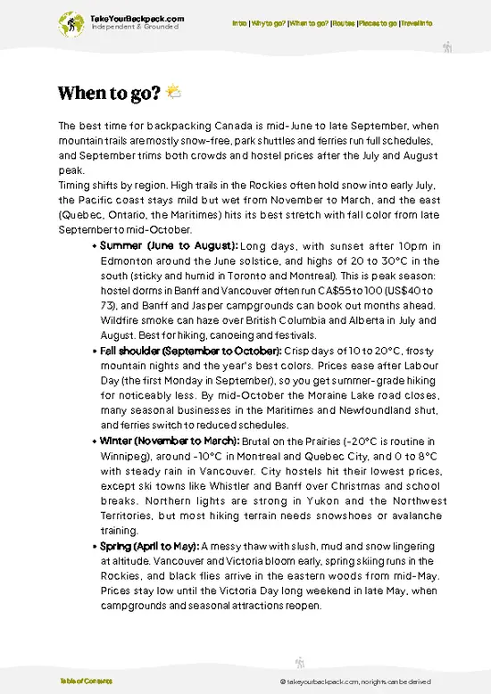
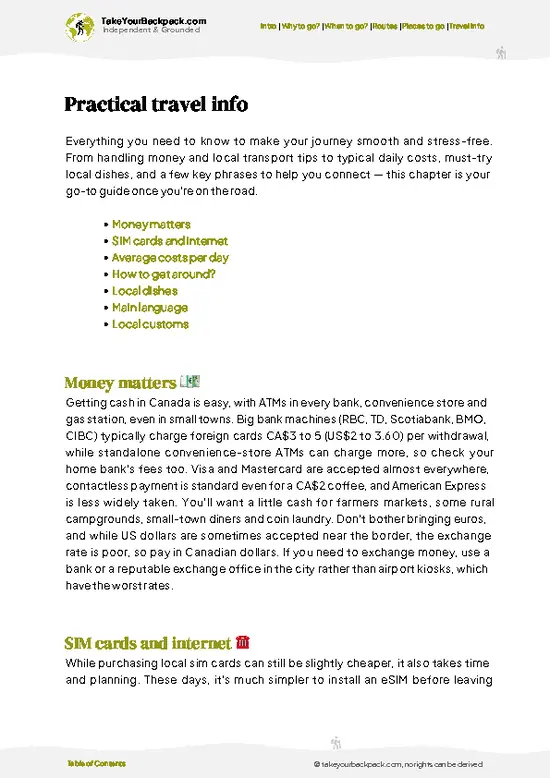
example page 3 from our offline Travel Guide for Canada
example page 4 from our offline Travel Guide for Canada
example page 5 from our offline Travel Guide for Canada
example page 6 from our offline Travel Guide for Canada
example page 7 from our offline Travel Guide for Canada
Loading the map 🌍
CLICK TO FILTER
cities
towns
villages
landmarks
national parks
hikes
beaches
attractions
festivals
regions
SHOW COUNTRY’S BESTSHOW ALL

✨ Why go?
Ranked #28 town in Canada
Reasons people choose to visit here

Fort Smith works because the Slave River Rapids and Wood Buffalo National Park sit right at the edge of a small, walkable town. Most backpackers linger two or three days, long enough to watch pelicans, hike salt plains trails, and talk with locals at the visitor center. It is quiet, with a handful of guesthouses and cafés rather than hostels. Solo travelers, paddlers and birders will feel at home. If you need nightlife, keep moving.

💡 HighlightsMust-see experiences and standout moments

  1. Slave River Rapids Overlook: Boardwalks and trails above the Rapids of the Drowned, where white pelicans nest in summer. Free, 1 to 2 hours, best June to August.
  2. Northern Life Museum: Compact displays on Dene and Métis life, the fur trade and the Wood Buffalo region. Entry about US$5, 1 hour, open mainly in summer.
  3. Wood Buffalo National Park Visitor Centre: Exhibits, maps and trail advice on the park, with a film on bison and whooping cranes. Free to enter, 45 minutes. Entry to the park is free; camping and backcountry permits cost extra.
  4. Mission Park and Riverside Trails: Shaded paths along the Slave River bluff, with views over the water and old mission grounds. Free, about 1 hour, lovely in the evening.
  5. Paddling the Slave River below the Rapids: Guided outings with local operators put you close
… read more 👉
  1. Slave River Rapids Overlook: Boardwalks and trails above the Rapids of the Drowned, where white pelicans nest in summer. Free, 1 to 2 hours, best June to August.
  2. Northern Life Museum: Compact displays on Dene and Métis life, the fur trade and the Wood Buffalo region. Entry about US$5, 1 hour, open mainly in summer.
  3. Wood Buffalo National Park Visitor Centre: Exhibits, maps and trail advice on the park, with a film on bison and whooping cranes. Free to enter, 45 minutes. Entry to the park is free; camping and backcountry permits cost extra.
  4. Mission Park and Riverside Trails: Shaded paths along the Slave River bluff, with views over the water and old mission grounds. Free, about 1 hour, lovely in the evening.
  5. Paddling the Slave River below the Rapids: Guided outings with local operators put you close to the whitewater and pelican colonies. Roughly US$80 to 150, 3 to 5 hours, summer only.
Fort Smith makes a good base for the salt plains, Pine Lake and Salt River day trips inside Wood Buffalo National Park. The Rapids Overlook and Mission Park fit neatly into a single day.
Spotted a mistake or missing something? Contact us.

🏘️ NeighborhoodsWhere things are and how it's laid out

Fort Smith is small enough to cover on foot or bike in an afternoon, and the areas below sit within a few kilometers of each other.
  • Downtown and McDougal Road: A short strip of shops, a grocery store, cafes and the visitor center, with gravel dust in summer and wind off the bluffs. Walk it in 20 minutes and you leave with a map and a hot coffee.
  • Slave River Overlook and Rapids: Trails run above the roaring whitewater, and white pelicans ride the current in summer. Mist and the smell of wet limestone follow you, and the view is the best in town.
  • Upper Town and Riverside: Quiet streets of small houses under tall spruce, and the Northern Life Museum nearby. Ravens chatter overhead, and you get an easy, flat stroll.

⌛️ 1 dayA smart one-day plan

Plan on walking everything, with a bike or rental car only for the park. 8:00 AM, Riverside Trails: Start on the bluff paths in Mission Park for cool light and river views, then stroll into town. 10:00 AM, Northern Life Museum: Spend an hour on Dene and fur trade history. 12:00 PM, Lunch in town: Pick a local café for a simple sandwich or soup. 1:30 PM, Slave River Rapids Overlook: Follow the boardwalks and watch pelicans work the whitewater. 4:00 PM, Fort Smith Visitor Centre: Ask about the park and its trails. 6:00 PM, Old townsite and cemetery: A quiet, less visited stop with weathered markers and long evening light.

🌤️ When to go?When to go for the best experience

  • Summer (June to August): Highs of 20 to 25°C (68 to 77°F), nearly endless daylight, and the pelicans arrive at the rapids. Mosquitoes are thick, and the paddling festival draws small crowds.
  • Spring and Fall: 0 to 12°C (32 to 54°F), fewer bugs, and fall colors along the river in September.
  • Winter: Lows of -30°C (-22°F) or colder, short days, and northern lights, with some services closed.
Aim for late June through July if the pelicans are your goal.

source: climatestotravel.comJANJanuary: below average for travelingFEBFebruary: below average for travelingMARMarch: fair for travelingAPRApril: good for travelingMAYMay: highly recommended for travelingJUNJune: highly recommended for travelingJULJuly: excellent for travelingAUGAugust: excellent for travelingSEPSeptember: highly recommended for travelingOCTOctober: good for travelingNOVNovember: fair for travelingDECDecember: below average for traveling
when-to-go

✈️ The backpacker research shortcutCanada Travel Guide

An offline-friendly backpacking guide with optimized travel routes, ranked highlights, transport advice, and the best areas to stay.
example page 0 from our offline Travel Guide for Canada
example page 1 from our offline Travel Guide for Canada
example page 2 from our offline Travel Guide for Canada
example page 3 from our offline Travel Guide for Canada
example page 4 from our offline Travel Guide for Canada
example page 5 from our offline Travel Guide for Canada
example page 6 from our offline Travel Guide for Canada
example page 7 from our offline Travel Guide for Canada
The digital guide (385 pages) contains:
✅ 125 highlights, ranked by travel appeal
✅ Optimized 14, 21 & 30-day travel routes
✅ Cities, national parks, landmarks, beaches
✅ How to get around
✅ Offline-friendly for travel without Wi-Fi
👉 Click to see all 30+ guide features

📅 Plan smarter in minutes, not weeks
✅ Month by month travel advice
✅ Festivals & national holidays
✅ Budget expectations

🗺️ Go to the right places, skip the overrated ones
✅ Honest pros & cons of destinations
✅ Top hikes, parks & viewpoints
✅ Lesser-known places most travelers miss
✅ Clear “worth it vs skip it” guidance

🛏️ Travel smoothly without rookie mistakes
✅ Best areas to stay
✅ Transport systems explained simply
✅ Common scams & safety advice
✅ SIM cards, money & practical tips

🌍 Understand the country, not just visit it
✅ Culture & traditions
✅ Local customs
✅ Festivals worth planning around
✅ Traveler-friendly historical context
✅ Insights that make places more meaningful

📱 Built for real travel conditions
✅ Fully downloadable PDF
✅ Works completely offline
✅ Optimized for phone use
✅ Useful in remote areas & buses
✅ Everything in one place
Stop searching, start planning
Get instant access to your full guide. 30‑day money-back guarantee.
+ Add another guide for just

By proceeding you agree to our terms.
Sent to your inbox immediately after payment • 100% Secure Checkout
Best Backpacking Travel Advisor 2025 tourism awardBest Backpacking
Travel Advisor
2025
What others say about Take Your Backpack Guides:
⭐⭐⭐⭐⭐
Fantastic, amazing amount of information!
⭐⭐⭐⭐⭐
My goodness this is amazing, it's what I've been looking for hats off too you!
⭐⭐⭐⭐⭐
I think this is absolutely BRILLIANT
⭐⭐⭐⭐
Very complete and informative. It's still missing places, but I gotta to commend you
⭐⭐⭐⭐⭐
This is truly amazing, thank you, can't wait to explore it with my kids!
⭐⭐⭐⭐⭐
Awesome resource, thank you!
⭐⭐⭐⭐⭐
This is amazing! Can't wait to explore the ones I haven't seen
⭐⭐⭐⭐
I love this! Well done, great idea.
⭐⭐⭐⭐⭐
Thanks for taking the time to make this gem!
⭐⭐⭐⭐⭐
This might be the best website I've ever seen.
⭐⭐⭐⭐⭐
Congratulations, and thank you so much for your work; it's incredibly valuable.
⭐⭐⭐⭐
In all seriousness I think you did a great job pointing out the important spots
⭐⭐⭐⭐⭐
10/10 very good
⭐⭐⭐⭐⭐
As someone who's only just starting to visit regularly this is awesome, thank you.
⭐⭐⭐⭐
Thank you very much! I'm going to visit my dad, it's going to be very useful!
⭐⭐⭐⭐⭐
This is really cool! We'll be travelling for the first time and this definitely come in handy.
⭐⭐⭐⭐⭐
You are now our minister of culture, congratulations 👨‍💼
⭐⭐⭐⭐⭐
Just wanted to tell you that this is a pearl! Going to follow your recommendations.
⭐⭐⭐⭐⭐
This is so cool. I'll definitely be using the resource for my travels soon.
⭐⭐⭐⭐⭐
This is very impressive! Good work.
⭐⭐⭐⭐⭐
This is an amazing and informative site. Very well done!

🛏️ Where to stay?How to pick the right area

Downtown near McDougal Road is the best bet, since the grocery store, restaurants and the bus stop area are all within a few minutes on foot. Budget beds are scarce in Fort Smith, so expect basic guesthouses, campgrounds and rooms from roughly US$80 to 130, with camping near US$20 to 30. The Upper Town side is quieter at night, though it adds a longer walk for supplies. Streets are calm after dark, and noise is rarely an issue. Reserve ahead in summer.

🚌 Getting aroundTransportation options and practical tips

Fort Smith has no airport shuttle or city bus, and visitors who assume a taxi will appear at the airport lose an hour or pay for a long wait. Book ahead with a local cab or arrange a pickup. Once you are in town, everything is close, though the wind and road dust make rides feel longer than they look.
  • Walking: Free, and the town center and river trails take 10 to 25 minutes. You get the roar of the rapids in your ears by the end.
  • Bicycle: Rentals are limited, so ask your accommodation. Flat streets make for easy riding, with mosquitoes in summer.
  • Local taxi: Fares around town run about US$8 to 15, and the airport run is about US$10 to 20. Drivers know every back gravel road.
  • Highway 5 from Hay River: Reach town by rental car, about 272 km from Hay River, with open spruce forest through the window.
… read more 👉
Fort Smith has no airport shuttle or city bus, and visitors who assume a taxi will appear at the airport lose an hour or pay for a long wait. Book ahead with a local cab or arrange a pickup. Once you are in town, everything is close, though the wind and road dust make rides feel longer than they look.
  • Walking: Free, and the town center and river trails take 10 to 25 minutes. You get the roar of the rapids in your ears by the end.
  • Bicycle: Rentals are limited, so ask your accommodation. Flat streets make for easy riding, with mosquitoes in summer.
  • Local taxi: Fares around town run about US$8 to 15, and the airport run is about US$10 to 20. Drivers know every back gravel road.
  • Highway 5 from Hay River: Reach town by rental car, about 272 km from Hay River, with open spruce forest through the window. From Fort McMurray there is only a winter road.

👛 Costs (as of 22 October 2026)What things cost and how to budget

Fort Smith costs a backpacker roughly US$95 to 125 a day, mostly because beds and groceries in the Northwest Territories run well above southern Canada prices.
CategoryBudget RangeLocal Reality
Dorm accommodationUS$40 to 60Hostel-style beds are scarce, so expect a basic room or campground pitch (US$20 to 30) instead.
MealsUS$30 to 40Groceries cost more than in the south; a diner meal runs US$15 to 25.
Local transportUS$0 to 10The town is walkable along McDougal Road; taxis are short and pricey.
Basic activities/entry feesUS$0 to 5Wood Buffalo National Park has no entry fee; the museum charges a small amount.
Miscellaneous expensesUS$5 to 10Bug spray, laundry, and snacks.
Total Daily BudgetUS$95 to 125Camping and cooking your own food cut it sharply.
Buy groceries before arriving or in Fort Smith’s … read more 👉
Fort Smith costs a backpacker roughly US$95 to 125 a day, mostly because beds and groceries in the Northwest Territories run well above southern Canada prices.
CategoryBudget RangeLocal Reality
Dorm accommodationUS$40 to 60Hostel-style beds are scarce, so expect a basic room or campground pitch (US$20 to 30) instead.
MealsUS$30 to 40Groceries cost more than in the south; a diner meal runs US$15 to 25.
Local transportUS$0 to 10The town is walkable along McDougal Road; taxis are short and pricey.
Basic activities/entry feesUS$0 to 5Wood Buffalo National Park has no entry fee; the museum charges a small amount.
Miscellaneous expensesUS$5 to 10Bug spray, laundry, and snacks.
Total Daily BudgetUS$95 to 125Camping and cooking your own food cut it sharply.
Buy groceries before arriving or in Fort Smith’s main store, and cook at a campsite to keep daily costs near the low end.


source: spectacularnwt.com
⚠️ Prices can change and everyone travels differently, so take this as a rough guide. Hope it helps you plan your adventure!

🚌 Day tripsEasy escapes and nearby places

Fort Smith suits day trips if you have a car, but public transport is thin, so plan ahead.Wood Buffalo National Park: Salt plains, sinkholes and big skies start about 20 minutes from town. Budget US$8 to 12 for fuel, and bring bug repellent. Go June to September, and note that many roads are gravel.
👉 Explore Wood Buffalo National ParkSalt River First Nation Area: A short drive brings you to quiet riverside country and the Salt Plains Lookout. Allow half a day and US$10 to 25 for fuel. A common mistake is arriving with no water.
Pelican Rapids Walk: A morning on the trails shows you pelicans and spray. It is free and takes 2 to 3 hours.

🛡️ SafetyTraveler Safety Guide

Fort Smith is a quiet, safe town, and the main risks are natural. Wildlife such as bears and bison near trails calls for distance and noise, and winter cold demands proper layers. Night walking is fine, though streetlights are sparse, so carry a flashlight. Rapids are dangerous, so stay behind barriers. Scams are essentially unheard of, and mosquitoes are the everyday annoyance.

FAQCommon questions from travelers

Fort Smith is worth a real visit, especially for anyone heading to Wood Buffalo National Park, which starts a short drive west of town along Highway 5, with the Salt Plains Overlook about 25 to 30 kilometers away. The town sits on the Slave River, where the Rapids of the Drowned are a short walk from the visitor area and the Northern Life Museum covers local Dene, Métis and fur-trade history for a few dollars (roughly US$5 to 8). Pelicans nest on the river islands in summer, and the dark skies in winter draw aurora seekers. Most people who treat it as a mere stopover on the Alberta to Yellowknife route miss the main attractions.
Two to three days works well in Fort Smith. One day covers the Slave River rapids, the museum and the Northern Lights-style evening sky in winter, while a second day can go to Wood Buffalo National Park for salt plains, sinkholes and bison. Add a third day if you want a guided paddle or a stargazing night, since tours and rentals are limited and run by small local operators. Entry to the park is free; camping and backcountry use cost extra.
A day trip from a nearby city is hard, because Fort Smith is remote. Fort McMurray in Alberta is about 500 kilometers (310 miles) away, but only in winter, on the winter road through Wood Buffalo National Park. Yellowknife is about 740 kilometers (460 miles) by road via Hay River, and the town is better treated as a stop of at least two nights. Flights from Edmonton or Yellowknife take roughly 1 to 1.5 hours, but fares usually run US$300 to 600 one way.
⚠️ Things can change over time, so always validate details locally before you go.

Other Canadian towns near Fort Smith

Explore more nearby:

  • Yellowknife—Aurora tours, floatplane Old Town, houseboats, Great Slave Lake| 303 km away
  • Dawson Creek—Mile 0 post, grain elevator gallery, pioneer village| 682 km away
  • Banff—Sulphur Mountain gondola, hot springs, Bow Falls, hostel bunks| 1008 km away

💡 Not sure where to go next?
Create a personalized itinerary for Canada including Fort Smith and the places that fit your trip.

Generate my itinerary

👉 Discover all towns

Or checkout all Canada has to offer (think cities, towns, villages, national parks, hikes, beaches, festivals)
Country photo of Canada

We 💚 feedbackKey takeaways before you go

Fort Smith rewards people who look up: the pelicans over the rapids are the real show. I would bring binoculars and book at least one extra night, because the park deserves more than a rushed day.

✈️ When did I visit Canada?
As part of my 1.5 year travel around the world trip, I visited Canada in 2016.

✍️ Help improve this page!
The information on this page is based on my own backpacking experience in Canada, supplemented with up-to-date research and feedback from other travelers. Travel details can change, so if you notice anything outdated or incomplete, feel free to let me know.


🙋‍♂️ Give feedback

👋 Meet the founderWho’s Behind Take Your Backpack?

Johan, backpacker and founder of TakeYourBackpackHi, I’m Johan (Netherlands 🇳🇱), the creator of TakeYourBackpack. Over the past 3 decades, I’ve backpacked through 90+ countries across six continents, gaining extensive experience with independent travel, long-term trips, and overland routes.

This site is built on a combination of firsthand travel experience and carefully curated insights from other backpackers. Many guides are based on places I’ve personally visited, while others bring together tips, observations, and practical advice shared by trusted travelers I’ve met along the way.

The goal is to provide realistic, experience-driven guidance — not generic itineraries — so you can explore destinations with better context, clearer expectations, and more confidence.