

×

Japan🇯🇵 | landmarksTateyama Kurobe Alpine Routesnow corridors, high-altitude passes, cable cars, dramatic valleys | things to do and best time to go

Explore Tottori Sand DunesExplore Iwami Tatamigaura

Backpacking in Tateyama Kurobe Alpine Route
👍 Recommendedunique site ranked #6
By Johan Kruseman 🇳🇱 | Updated October 15, 2026

You have to choose: blast through the Tateyama Kurobe Alpine Route in a single, tightly timed transit day like everyone on the tour buses, or slow down, hike sections, and actually feel the mountains. That choice decides whether this becomes a checklist or a real alpine experience. Straddling Toyama and Nagano in Japan’s Northern Alps, the route strings together cable cars, buses, tunnels, and sky-high walkways over deep snow walls and down to the Kurobe Dam. It’s easy to reach by train from Tokyo or Osaka, but not cheap, and crowds can turn the most scenic viewpoints into a shuffle. The hiking itself isn’t technical, but altitude, weather swings, and stair-heavy paths will work your legs harder than most nearby day hikes in the Alps. When the clouds break and you see that jagged skyline, the effort feels absolutely earned.

Discover everything you want to know in the 📖 Japan Travel Guide.
Best time to go: April - October
Duration: 1 day
Distance: 37 kilometers
Total ascent: 1,200 meters


example page 0 from our offline Travel Guide for Japan
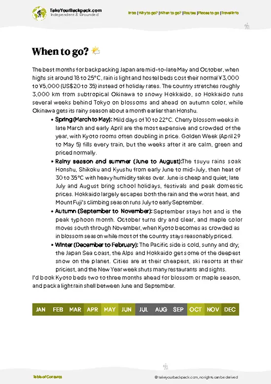
example page 1 from our offline Travel Guide for Japan
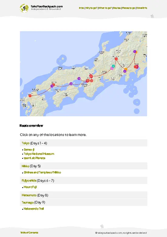
example page 2 from our offline Travel Guide for Japan
example page 3 from our offline Travel Guide for Japan
example page 4 from our offline Travel Guide for Japan
example page 5 from our offline Travel Guide for Japan
example page 6 from our offline Travel Guide for Japan
example page 7 from our offline Travel Guide for Japan
Loading the map 🌍
CLICK TO FILTER
cities
towns
villages
landmarks
national parks
hikes
beaches
attractions
festivals
regions
SHOW COUNTRY’S BESTSHOW ALL

✨ Why go?
Ranked #6 unique site in Japan
What sets this place apart

The Tateyama Kurobe Alpine Route is a magnet for backpackers craving a mix of stunning scenery and accessible adventure. Imagine standing beneath towering snow walls, some reaching over 20 feet high, as you traverse this breathtaking route. The scenery-to-effort ratio is off the charts; you get jaw-dropping views without needing to be a seasoned mountaineer.

Public transport makes it a breeze to access—trains and buses whisk you from one stunning vista to the next. You can tailor your hike to fit your pace, whether you want a leisurely stroll or a more intense trek. Plus, it’s budget-friendly, allowing you to soak in the beauty without breaking the bank.

This route seamlessly integrates into a longer backpacking journey through Japan, making it a perfect pit stop. The reward? That first … read more 👉
The Tateyama Kurobe Alpine Route is a magnet for backpackers craving a mix of stunning scenery and accessible adventure. Imagine standing beneath towering snow walls, some reaching over 20 feet high, as you traverse this breathtaking route. The scenery-to-effort ratio is off the charts; you get jaw-dropping views without needing to be a seasoned mountaineer.

Public transport makes it a breeze to access—trains and buses whisk you from one stunning vista to the next. You can tailor your hike to fit your pace, whether you want a leisurely stroll or a more intense trek. Plus, it’s budget-friendly, allowing you to soak in the beauty without breaking the bank.

This route seamlessly integrates into a longer backpacking journey through Japan, making it a perfect pit stop. The reward? That first cold beer at the end of the day, savoring the thrill of the climb and the sheer beauty of the landscape. It’s a challenge that pays off in spades.

💡 HighlightsDon't-miss highlights and experiences

  1. Yuki-no-Otani (Snow Corridor) — Walls of snow towering 10-20 meters on either side of the cleared road create a surreal tunnel you can walk through in spring. It’s the route’s signature moment: otherworldly, photogenic, and an actual reminder you’re in alpine Japan rather than a regular hill trail.
  2. Kurobe Dam — Japan’s largest dam, massive concrete curves, thunderous water releases in summer and a dramatic walkway along the crest. The scale and engineering are impressive, and the view down into the gorge is one of those “whoa” moments you don’t get on most hikes.
  3. Murodo Plateau & Mikurigaike Pond — The highest stop on the route with stark volcanic terrain, steaming vents, and a mirror-like pond that reflects the peaks. Alpine flowers carpet the ground in summer and you might spot (or
… read more 👉
  1. Yuki-no-Otani (Snow Corridor) — Walls of snow towering 10-20 meters on either side of the cleared road create a surreal tunnel you can walk through in spring. It’s the route’s signature moment: otherworldly, photogenic, and an actual reminder you’re in alpine Japan rather than a regular hill trail.
  2. Kurobe Dam — Japan’s largest dam, massive concrete curves, thunderous water releases in summer and a dramatic walkway along the crest. The scale and engineering are impressive, and the view down into the gorge is one of those “whoa” moments you don’t get on most hikes.
  3. Murodo Plateau & Mikurigaike Pond — The highest stop on the route with stark volcanic terrain, steaming vents, and a mirror-like pond that reflects the peaks. Alpine flowers carpet the ground in summer and you might spot (or at least hear about) the protected rock ptarmigan nearby — fragile, quiet wilderness right next to the station.
  4. Daikanbo Viewpoint — A short climb or cable-car hop gives you sweeping panoramas of the Tateyama Range and the Kurobe valley below. It’s perfect for golden-hour photos and for appreciating how rugged and vertical this area is compared with lower-elevation hikes.
  5. Midagahara Moor — A peaceful high plateau with boardwalk trails through marshland, seasonal carpets of alpine flowers, and wide-open sky. It’s low-effort hiking but high on atmosphere: quiet, green, and a great contrast to the drama of the dam and snow walls.


Favorite: Murodo Plateau & Mikurigaike Pond — the combination of volcanic landscape, steaming vents, alpine flowers, and that reflective pond gives you the full alpine buzz in one place.
Spotted a mistake or missing something? Contact us.

Things to do near Tateyama Kurobe Alpine Route

Ratings based on Tripadvisor reviews. When you book through this link, you support our work at no extra cost to you.

🌤️ When to go?Best time to visit Tateyama Kurobe Alpine Route

  • Weather: The route is a beast in winter, buried under meters of snow—impressive but brutal. Late April to early June is prime for the Snow Corridor, where towering walls of snow create a surreal, otherworldly tunnel. Summer months (July to September) bring milder weather, but expect sudden mountain storms.
  • Temperature: Spring highs hover around 5-15°C (41-59°F), still chilly enough to layer up. Summer warms to 15-25°C (59-77°F), perfect for sweating up trails without freezing or frying.
  • Daylight Hours: Late spring and summer offer long days, with up to 14-15 hours of light—ideal for squeezing in every bit of trail time before dusk.
  • Crowds: The Snow Corridor draws crowds in May, so expect packed paths and busy transport. Early June and late September see fewer people, giving you more breathing
… read more 👉
  • Weather: The route is a beast in winter, buried under meters of snow—impressive but brutal. Late April to early June is prime for the Snow Corridor, where towering walls of snow create a surreal, otherworldly tunnel. Summer months (July to September) bring milder weather, but expect sudden mountain storms.
  • Temperature: Spring highs hover around 5-15°C (41-59°F), still chilly enough to layer up. Summer warms to 15-25°C (59-77°F), perfect for sweating up trails without freezing or frying.
  • Daylight Hours: Late spring and summer offer long days, with up to 14-15 hours of light—ideal for squeezing in every bit of trail time before dusk.
  • Crowds: The Snow Corridor draws crowds in May, so expect packed paths and busy transport. Early June and late September see fewer people, giving you more breathing room and a quieter experience.
  • Seasonal Activities: Snow Corridor in spring, alpine flower blooms in summer, and vibrant autumn foliage from late September to October. Each season rewrites the scenery, so pick your flavor.
  • Price Fluctuations: Peak season (May and summer) hikes hit higher prices on transport and lodging. Shoulder seasons offer better deals but fewer services.
Pro-tip: Hit late May for the Snow Corridor spectacle before the crowds peak, then slide into early June for quieter trails and softer prices—best of both worlds.


source: climatestotravel.comJANJanuary: below average for travelingFEBFebruary: below average for travelingMARMarch: fair for travelingAPRApril: good for travelingMAYMay: excellent for travelingJUNJune: highly recommended for travelingJULJuly: highly recommended for travelingAUGAugust: highly recommended for travelingSEPSeptember: highly recommended for travelingOCTOctober: good for travelingNOVNovember: fair for travelingDECDecember: below average for traveling
when-to-go

✈️ The backpacker research shortcutJapan Travel Guide

An offline-friendly backpacking guide with optimized travel routes, ranked highlights, transport advice, and the best areas to stay.
example page 0 from our offline Travel Guide for Japan
example page 1 from our offline Travel Guide for Japan
example page 2 from our offline Travel Guide for Japan
example page 3 from our offline Travel Guide for Japan
example page 4 from our offline Travel Guide for Japan
example page 5 from our offline Travel Guide for Japan
example page 6 from our offline Travel Guide for Japan
example page 7 from our offline Travel Guide for Japan
The digital guide (475 pages) contains:
✅ 139 highlights, ranked by travel appeal
✅ Optimized 7, 14 & 21-day travel routes
✅ Cities, national parks, landmarks, beaches
✅ How to get around
✅ Offline-friendly for travel without Wi-Fi
👉 Click to see all 30+ guide features

📅 Plan smarter in minutes, not weeks
✅ Month by month travel advice
✅ Festivals & national holidays
✅ Budget expectations

🗺️ Go to the right places, skip the overrated ones
✅ Honest pros & cons of destinations
✅ Top hikes, parks & viewpoints
✅ Lesser-known places most travelers miss
✅ Clear “worth it vs skip it” guidance

🛏️ Travel smoothly without rookie mistakes
✅ Best areas to stay
✅ Transport systems explained simply
✅ Common scams & safety advice
✅ SIM cards, money & practical tips

🌍 Understand the country, not just visit it
✅ Culture & traditions
✅ 52 Essential phrases & customs
✅ Festivals worth planning around
✅ Traveler-friendly historical context
✅ Insights that make places more meaningful

📱 Built for real travel conditions
✅ Fully downloadable PDF
✅ Works completely offline
✅ Optimized for phone use
✅ Useful in remote areas & buses
✅ Everything in one place
Stop searching, start planning
Get instant access to your full guide. 30‑day money-back guarantee.
+ Add another guide for just

By proceeding you agree to our terms.
Sent to your inbox immediately after payment • 100% Secure Checkout
Best Backpacking Travel Advisor 2025 tourism awardBest Backpacking
Travel Advisor
2025
What others say about Take Your Backpack Guides:
⭐⭐⭐⭐⭐
Fantastic, amazing amount of information!
⭐⭐⭐⭐⭐
My goodness this is amazing, it's what I've been looking for hats off too you!
⭐⭐⭐⭐⭐
I think this is absolutely BRILLIANT
⭐⭐⭐⭐
Very complete and informative. It's still missing places, but I gotta to commend you
⭐⭐⭐⭐⭐
This is truly amazing, thank you, can't wait to explore it with my kids!
⭐⭐⭐⭐⭐
Awesome resource, thank you!
⭐⭐⭐⭐⭐
This is amazing! Can't wait to explore the ones I haven't seen
⭐⭐⭐⭐
I love this! Well done, great idea.
⭐⭐⭐⭐⭐
Thanks for taking the time to make this gem!
⭐⭐⭐⭐⭐
This might be the best website I've ever seen.
⭐⭐⭐⭐⭐
Congratulations, and thank you so much for your work; it's incredibly valuable.
⭐⭐⭐⭐
In all seriousness I think you did a great job pointing out the important spots
⭐⭐⭐⭐⭐
10/10 very good
⭐⭐⭐⭐⭐
As someone who's only just starting to visit regularly this is awesome, thank you.
⭐⭐⭐⭐
Thank you very much! I'm going to visit my dad, it's going to be very useful!
⭐⭐⭐⭐⭐
This is really cool! We'll be travelling for the first time and this definitely come in handy.
⭐⭐⭐⭐⭐
You are now our minister of culture, congratulations 👨‍💼
⭐⭐⭐⭐⭐
Just wanted to tell you that this is a pearl! Going to follow your recommendations.
⭐⭐⭐⭐⭐
This is so cool. I'll definitely be using the resource for my travels soon.
⭐⭐⭐⭐⭐
This is very impressive! Good work.
⭐⭐⭐⭐⭐
This is an amazing and informative site. Very well done!

🛏️ Where to stay?Best areas and accommodation options

If you enjoy meeting fellow travelers, consider choosing hostels with high ratings for atmosphere. On the other hand, if you prefer having your own space, a hotel might be a better option.

🛡️ SafetyStaying Safe: What Travelers Should Know

The Tateyama Kurobe Alpine Route is a well-trodden path, but don’t let that lull you into complacency. Weather can shift in an instant; sunny skies can morph into thick fog or sudden rain. Dress in layers and pack a reliable rain jacket.

The terrain varies—some sections are steep, and footing can be tricky on loose gravel. Stay alert, especially on descents. Navigation is straightforward, but keep an eye on trail markers.

Wildlife is generally shy, but you might spot a Japanese macaque or a deer. Respect their space; don’t feed them.

First-timers often underestimate the altitude. Hydrate and pace yourself, especially if you’re not acclimated. The reward? Breathtaking views of the Northern Japan Alps and the thrill of conquering the route. Embrace the challenge; it’s all part of the adventure.

FAQTraveler FAQ

The Tateyama Kurobe Alpine Route typically takes one full day to complete if traveling by the official transportation modes, covering about 90 kilometers. Hiking the entire route on foot is not common due to the use of various transport methods like cable cars and buses. Most travelers spend a day between mid-April and late November when the route is fully open.
The difficulty varies depending on the section, but the route itself is moderate since it relies heavily on public transport rather than continuous hiking. Some walking is required at stops, with short hikes around scenic spots, but no advanced mountaineering skills are needed. Weather can be unpredictable, so proper gear and preparation for cold and wind are essential.
No guide or permit is required to travel the Tateyama Kurobe Alpine Route using the official transport system. Visitors purchase a single ticket or pass covering all segments, costing around 9,650 yen for a round trip. Independent hiking off the main path may require local permissions, but this is uncommon for typical travelers.
⚠️ Things can change over time, so always validate details locally before you go.

Other Japanese landmarks near Tateyama Kurobe Alpine Route

Explore more nearby:


💡 Not sure where to go next?
Create a personalized itinerary for Japan including Tateyama Kurobe Alpine Route and the places that fit your trip.

Generate my itinerary

👉 Discover all landmarks

Or checkout all Japan has to offer (think cities, towns, villages, national parks, hikes, beaches, festivals)
Country photo of Japan

We 💚 feedbackIs it worth it?

The Tateyama Kurobe Alpine Route is a jaw-dropper. Standing beneath those towering snow walls, you feel like a tiny speck in nature’s grand design. But here’s the kicker: it can get crowded, especially during peak season. You’ll share those breathtaking views with a lot of fellow adventurers. Still, the thrill of traversing this stunning landscape makes it all worth it. Just embrace the hustle and soak in every moment.

✈️ When did I visit Japan?
As part of my 1.5 year travel around the world trip, I visited Japan in August 2015.

✍️ Help improve this page!
The information on this page is based on my own backpacking experience in Japan, supplemented with up-to-date research and feedback from other travelers. Travel details can change, so if you notice anything outdated or incomplete, feel free to let me know.


🙋‍♂️ Give feedback

👋 Meet the founderWho’s Behind Take Your Backpack?

Johan, backpacker and founder of TakeYourBackpackHi, I’m Johan (Netherlands 🇳🇱), the creator of TakeYourBackpack. Over the past 3 decades, I’ve backpacked through 90+ countries across six continents, gaining extensive experience with independent travel, long-term trips, and overland routes.

This site is built on a combination of firsthand travel experience and carefully curated insights from other backpackers. Many guides are based on places I’ve personally visited, while others bring together tips, observations, and practical advice shared by trusted travelers I’ve met along the way.

The goal is to provide realistic, experience-driven guidance — not generic itineraries — so you can explore destinations with better context, clearer expectations, and more confidence.