×

Morocco🇲🇦 | hikesAit Bouguemez ValleyWalnut terraces, mud-brick villages, canal paths, Agouti granary | things to do and best time to go

Explore Laayoune MoussemExplore Mount Toubkal

Backpacking in Ait Bouguemez Valley
👍 Recommendedhike ranked #4
By Johan Kruseman 🇳🇱 | Updated October 22, 2026

“Tomorrow, the donkey path, not the road,” said Brahim, my guesthouse host in Tabant, sliding a plate of walnuts and warm barley bread across the table, and he was right. Ait Bouguemez sits in Morocco’s High Atlas, north of Marrakech beyond Azilal, a long green valley of mud-brick villages, walnut trees and terraced barley beneath 3,000-meter ridges. Walking between villages is easy, mostly flat to rolling, and day loops run 8 to 20 kilometers. The ridge crossings and the Mgoun traverse are harder. Public transport is the weak spot: shared taxis and buses reach Azilal, then a slow local run or a hired transfer goes up the valley. Skip the paved road stretches, they add nothing. Do the villages, the canal paths and the passes. Unlike the busier Imlil area near Toubkal, you meet more shepherds than trekkers.

Discover everything you want to know in the 📖 Morocco Travel Guide.
Best time to go: March - May, September - November
Duration: 3 days
Distance: 55 kilometers
Total ascent: 2200 meters


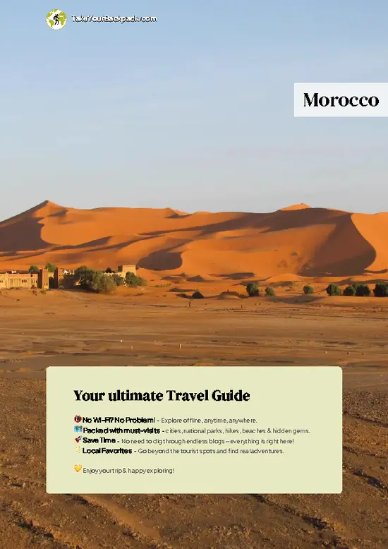
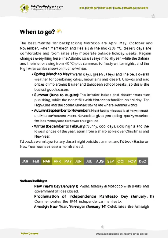
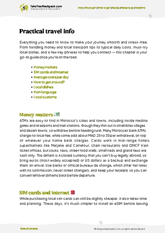
example page 0 from our offline Travel Guide for Morocco
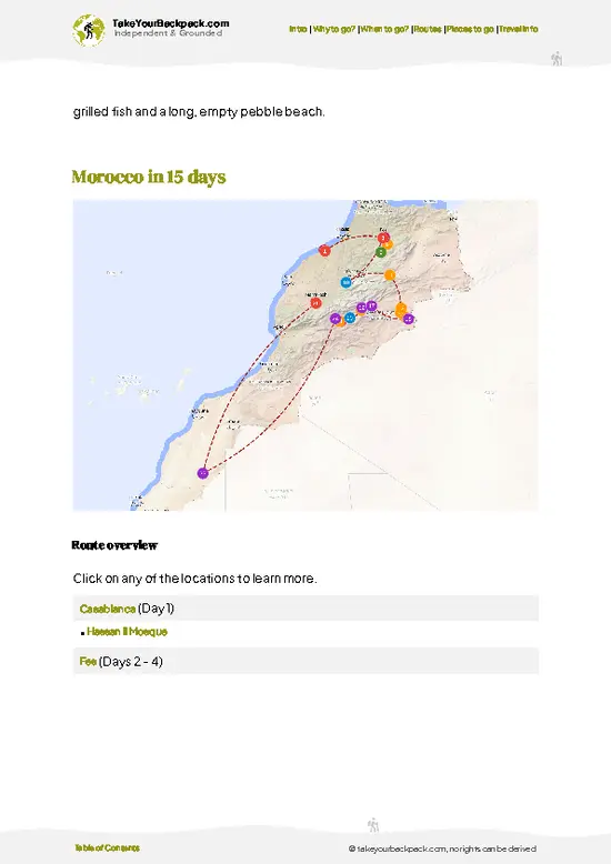
example page 1 from our offline Travel Guide for Morocco
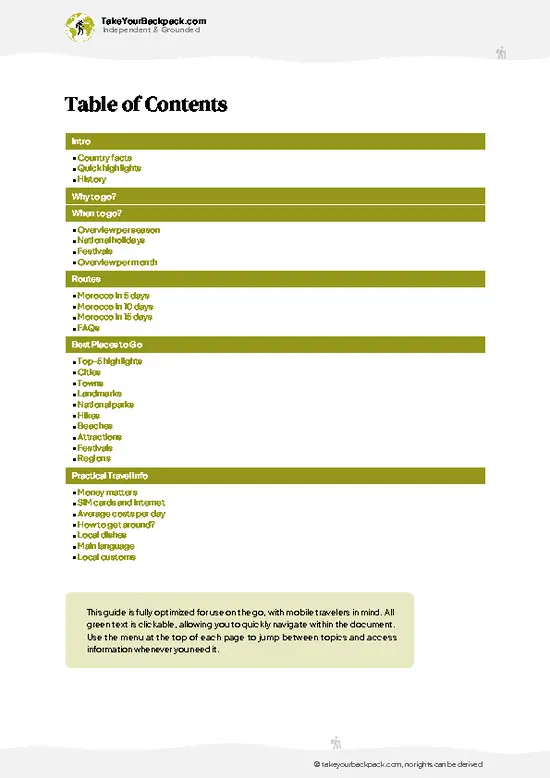
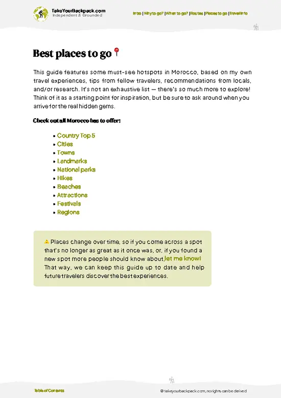
example page 2 from our offline Travel Guide for Morocco
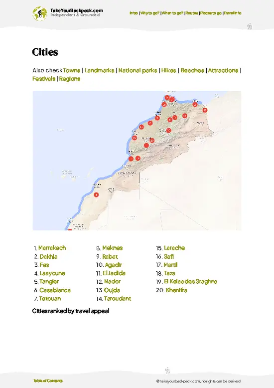
example page 3 from our offline Travel Guide for Morocco
example page 4 from our offline Travel Guide for Morocco
example page 5 from our offline Travel Guide for Morocco
example page 6 from our offline Travel Guide for Morocco
example page 7 from our offline Travel Guide for Morocco
Loading the map 🌍
CLICK TO FILTER
cities
towns
landmarks
national parks
hikes
beaches
attractions
festivals
regions
SHOW COUNTRY’S BESTSHOW ALL

✨ Why go?
Ranked #4 hike in Morocco
What sets this place apart

Ait Bouguemez Valley gives you high-mountain walking without the Toubkal queue. The draw is the “Happy Valley” floor, where you move between flat-roofed villages on irrigation-canal paths, then climb to 2,800-meter passes when you want a real day. Distances flex easily: a lazy half day between hamlets, or a multi-day push toward the Mgoun massif, the second-highest range in the Atlas, topping out above 4,000 meters. Guesthouses in the villages mean you rarely need a tent, so a pack can stay light and a route can be stitched together village by village. Costs stay modest because lodging, meals and muleteers are local and simple. It also fits a longer Morocco loop neatly, linking the Marrakech side with the Dades or Todra gorges to the south if you continue by 4x4 over the Tizi n’Tirghist pass. … read more 👉
Ait Bouguemez Valley gives you high-mountain walking without the Toubkal queue. The draw is the “Happy Valley” floor, where you move between flat-roofed villages on irrigation-canal paths, then climb to 2,800-meter passes when you want a real day. Distances flex easily: a lazy half day between hamlets, or a multi-day push toward the Mgoun massif, the second-highest range in the Atlas, topping out above 4,000 meters. Guesthouses in the villages mean you rarely need a tent, so a pack can stay light and a route can be stitched together village by village. Costs stay modest because lodging, meals and muleteers are local and simple. It also fits a longer Morocco loop neatly, linking the Marrakech side with the Dades or Todra gorges to the south if you continue by 4x4 over the Tizi n’Tirghist pass. Come for the quiet, stay for the walnut-shaded evenings.

💡 HighlightsWhat this place is best known for

  1. Tilebit Valley Floor Walk at Tabant: The classic image of Ait Bouguemez is the patchwork of walnut trees, barley terraces and mud-brick villages spread along the river below the High Atlas. Walk the valley floor from Tabant east toward Agouti and you pass irrigation channels and fields worked by hand, with 4,000 meter ridges closing the horizon.
  2. Agouti Agadir: This fortified communal granary sits above the village of Agouti. Families once locked grain and valuables inside its stone rooms. The climb is short, the view down the valley is excellent, and it explains how the community survived harsh winters and raids.
  3. Tarkeddit Plateau: A steep climb from the valley leads to a high plateau of grazing land and seasonal shepherd camps. You get wide views over the whole valley and, in the right months,
… read more 👉
  1. Tilebit Valley Floor Walk at Tabant: The classic image of Ait Bouguemez is the patchwork of walnut trees, barley terraces and mud-brick villages spread along the river below the High Atlas. Walk the valley floor from Tabant east toward Agouti and you pass irrigation channels and fields worked by hand, with 4,000 meter ridges closing the horizon.
  2. Agouti Agadir: This fortified communal granary sits above the village of Agouti. Families once locked grain and valuables inside its stone rooms. The climb is short, the view down the valley is excellent, and it explains how the community survived harsh winters and raids.
  3. Tarkeddit Plateau: A steep climb from the valley leads to a high plateau of grazing land and seasonal shepherd camps. You get wide views over the whole valley and, in the right months, snow on distant peaks. Expect a long, hard day, and start early.
  4. Azib Ikkis and the Mgoun Approach: Trails from the upper valley head toward Jebel Mgoun, which rises to 4,071 meters and is the second highest summit in the High Atlas. Even a partial walk toward the Tarkeddit side shows the rocky, bare terrain that sits above the green valley. Shepherds’ stone huts mark the route.
  5. Village Tracks Between Agouti, Imelghas and Tabant: Short paths link the small villages, each with its own mosque, threshing floors and rooftop stacks of fodder. The “Blue Valley” nickname for the Valley of the Happy people comes from the clear air and the green fields. Stop for tea with a family in a guesthouse and ask the host to point out the marked footpaths.
Agouti Agadir and the valley floor walk combine well in one day, since the granary is a short climb off the path between the villages.
Spotted a mistake or missing something? Contact us.

Things to do near Ait Bouguemez Valley

Ratings based on Tripadvisor reviews. When you book through this link, you support our work at no extra cost to you.

🌤️ When to go?Best time to hike the Ait Bouguemez Valley

Late May to June and September to mid-October are the best windows for hiking Ait Bouguemez Valley, with clear days and open passes.
  • Spring (April to May): Walnut and apple blossom fills the lower villages, and highs run 15 to 22°C (59 to 72°F). Snow lingers above 3,000 m, so high passes can still need crampons. Nights drop to 0 to 5°C (32 to 41°F).
  • Summer (June to August): Valley days reach 28 to 35°C (82 to 95°F), cooler near the Tarkeddit plateau. Daylight stretches past 14 hours. Afternoon storms are possible on the ridges, and guesthouses fill during Moroccan school holidays.
  • Autumn (September to October): Harvest season, with highs of 18 to 26°C (64 to 79°F) and quiet trails. Guide and mule rates stay steady.
  • Winter (November to March): Cold, with valley highs of 3 to 10°C (37 to 50°F),
… read more 👉
Late May to June and September to mid-October are the best windows for hiking Ait Bouguemez Valley, with clear days and open passes.
  • Spring (April to May): Walnut and apple blossom fills the lower villages, and highs run 15 to 22°C (59 to 72°F). Snow lingers above 3,000 m, so high passes can still need crampons. Nights drop to 0 to 5°C (32 to 41°F).
  • Summer (June to August): Valley days reach 28 to 35°C (82 to 95°F), cooler near the Tarkeddit plateau. Daylight stretches past 14 hours. Afternoon storms are possible on the ridges, and guesthouses fill during Moroccan school holidays.
  • Autumn (September to October): Harvest season, with highs of 18 to 26°C (64 to 79°F) and quiet trails. Guide and mule rates stay steady.
  • Winter (November to March): Cold, with valley highs of 3 to 10°C (37 to 50°F), heavy snow up high and about 10 hours of daylight. Ski touring is the activity, and trekking is for the experienced.
Start treks by early June to avoid snow, and book rooms ahead for August weekends.


source: climatestotravel.comJANJanuary: fair for travelingFEBFebruary: fair for travelingMARMarch: highly recommended for travelingAPRApril: excellent for travelingMAYMay: highly recommended for travelingJUNJune: fair for travelingJULJuly: below average for travelingAUGAugust: below average for travelingSEPSeptember: highly recommended for travelingOCTOctober: excellent for travelingNOVNovember: highly recommended for travelingDECDecember: fair for traveling
when-to-go

✈️ The backpacker research shortcutMorocco Travel Guide

An offline-friendly backpacking guide with optimized travel routes, ranked highlights, transport advice, and the best areas to stay.
example page 0 from our offline Travel Guide for Morocco
example page 1 from our offline Travel Guide for Morocco
example page 2 from our offline Travel Guide for Morocco
example page 3 from our offline Travel Guide for Morocco
example page 4 from our offline Travel Guide for Morocco
example page 5 from our offline Travel Guide for Morocco
example page 6 from our offline Travel Guide for Morocco
example page 7 from our offline Travel Guide for Morocco
The digital guide (424 pages) contains:
✅ 112 highlights, ranked by travel appeal
✅ Optimized 5, 10 & 15-day travel routes
✅ Cities, national parks, landmarks, beaches
✅ How to get around
✅ Offline-friendly for travel without Wi-Fi
👉 Click to see all 30+ guide features

📅 Plan smarter in minutes, not weeks
✅ Month by month travel advice
✅ Festivals & national holidays
✅ Budget expectations

🗺️ Go to the right places, skip the overrated ones
✅ Honest pros & cons of destinations
✅ Top hikes, parks & viewpoints
✅ Lesser-known places most travelers miss
✅ Clear “worth it vs skip it” guidance

🛏️ Travel smoothly without rookie mistakes
✅ Best areas to stay
✅ Transport systems explained simply
✅ Common scams & safety advice
✅ SIM cards, money & practical tips

🌍 Understand the country, not just visit it
✅ Culture & traditions
✅ 52 Essential phrases & customs
✅ Festivals worth planning around
✅ Traveler-friendly historical context
✅ Insights that make places more meaningful

📱 Built for real travel conditions
✅ Fully downloadable PDF
✅ Works completely offline
✅ Optimized for phone use
✅ Useful in remote areas & buses
✅ Everything in one place
Stop searching, start planning
Get instant access to your full guide. 30‑day money-back guarantee.
+ Add another guide for just

By proceeding you agree to our terms.
Sent to your inbox immediately after payment • 100% Secure Checkout
Best Backpacking Travel Advisor 2025 tourism awardBest Backpacking
Travel Advisor
2025
What others say about Take Your Backpack Guides:
⭐⭐⭐⭐⭐
Fantastic, amazing amount of information!
⭐⭐⭐⭐⭐
My goodness this is amazing, it's what I've been looking for hats off too you!
⭐⭐⭐⭐⭐
I think this is absolutely BRILLIANT
⭐⭐⭐⭐
Very complete and informative. It's still missing places, but I gotta to commend you
⭐⭐⭐⭐⭐
This is truly amazing, thank you, can't wait to explore it with my kids!
⭐⭐⭐⭐⭐
Awesome resource, thank you!
⭐⭐⭐⭐⭐
This is amazing! Can't wait to explore the ones I haven't seen
⭐⭐⭐⭐
I love this! Well done, great idea.
⭐⭐⭐⭐⭐
Thanks for taking the time to make this gem!
⭐⭐⭐⭐⭐
This might be the best website I've ever seen.
⭐⭐⭐⭐⭐
Congratulations, and thank you so much for your work; it's incredibly valuable.
⭐⭐⭐⭐
In all seriousness I think you did a great job pointing out the important spots
⭐⭐⭐⭐⭐
10/10 very good
⭐⭐⭐⭐⭐
As someone who's only just starting to visit regularly this is awesome, thank you.
⭐⭐⭐⭐
Thank you very much! I'm going to visit my dad, it's going to be very useful!
⭐⭐⭐⭐⭐
This is really cool! We'll be travelling for the first time and this definitely come in handy.
⭐⭐⭐⭐⭐
You are now our minister of culture, congratulations 👨‍💼
⭐⭐⭐⭐⭐
Just wanted to tell you that this is a pearl! Going to follow your recommendations.
⭐⭐⭐⭐⭐
This is so cool. I'll definitely be using the resource for my travels soon.
⭐⭐⭐⭐⭐
This is very impressive! Good work.
⭐⭐⭐⭐⭐
This is an amazing and informative site. Very well done!

🛏️ Where to stay?Choosing the right base

If you enjoy meeting fellow travelers, consider choosing hostels with high ratings for atmosphere. On the other hand, if you prefer having your own space, a hotel might be a better option.

🥾 Hike detailsHike details: route, duration, and difficulty of Ait Bouguemez Valley

Total Distance: Ait Bouguemez Valley offers day loops of 8 to 20 kilometers, while the full Mgoun traverse runs roughly 50 to 60 kilometers.
Estimated Duration: Half a day to a full day for valley walks, 3 to 4 days for the Mgoun traverse.
Difficulty: Easy to moderate on the valley floor, demanding on passes and the Mgoun route.
Starting Point: Tabant, the main village. Reach Azilal by bus or shared taxi from Marrakech, then continue up the valley by local transport or a hired car.
Major Landmarks:
  • Tabant: Services, guesthouses and trailheads.
  • Agouti: Historic granary above the fields.
  • Tizi n’Tirghist:
… read more 👉
Total Distance: Ait Bouguemez Valley offers day loops of 8 to 20 kilometers, while the full Mgoun traverse runs roughly 50 to 60 kilometers.
Estimated Duration: Half a day to a full day for valley walks, 3 to 4 days for the Mgoun traverse.
Difficulty: Easy to moderate on the valley floor, demanding on passes and the Mgoun route.
Starting Point: Tabant, the main village. Reach Azilal by bus or shared taxi from Marrakech, then continue up the valley by local transport or a hired car.
Major Landmarks:
  • Tabant: Services, guesthouses and trailheads.
  • Agouti: Historic granary above the fields.
  • Tizi n’Tirghist: High pass at the valley’s edge.
  • Mgoun massif: Rocky high ridgeline.
Terrain and Scenery: Flat canal paths and farm tracks below, then steep stony slopes, scree and exposed ridges above. Red-brown cliffs frame the valley.
Vegetation: Walnut, apple and poplar trees, barley terraces, then sparse juniper and thorny cushion plants higher up.
Wildlife: Mostly goats, sheep and mules; birds of prey circle the ridges, and Barbary macaques and foxes are rare sightings.
⚠️ Hiking info can sometimes be outdated or inaccurate. Before you hit the trail, check the latest conditions with locals. If you do spot anything that's off, I'd love to hear from you, so I can update it for fellow travelers.

🛡️ SafetyStaying Safe: What Travelers Should Know

Ait Bouguemez Valley is straightforward for most hikers, and the main risks are weather and exposure rather than people or wildlife. Valley walks between villages are easy, but the high routes, such as the ascent of Mgoun (4,071 m), climb well above 3,000 m, where altitude can bring headaches and slow your pace. Start early, since afternoon thunderstorms build on the ridges in summer and snow can close passes into late spring. Paths are often unmarked and split around fields and irrigation channels, so download an offline map or hire a local guide for anything beyond village-to-village walks. Footing on scree is loose, so wear boots with ankle support and carry trekking poles. Streams swell with snowmelt in April and May, so cross in the morning when levels are lower. Shepherds’ dogs may bark … read more 👉
Ait Bouguemez Valley is straightforward for most hikers, and the main risks are weather and exposure rather than people or wildlife. Valley walks between villages are easy, but the high routes, such as the ascent of Mgoun (4,071 m), climb well above 3,000 m, where altitude can bring headaches and slow your pace. Start early, since afternoon thunderstorms build on the ridges in summer and snow can close passes into late spring. Paths are often unmarked and split around fields and irrigation channels, so download an offline map or hire a local guide for anything beyond village-to-village walks. Footing on scree is loose, so wear boots with ankle support and carry trekking poles. Streams swell with snowmelt in April and May, so cross in the morning when levels are lower. Shepherds’ dogs may bark near flocks, so walk calmly around them. Carry water treatment, sun protection and warm layers, because nights stay cold even in July.

FAQFrequently asked questions about Ait Bouguemez Valley

Most walkers spend 3 to 6 days trekking in Ait Bouguemez Valley, linking villages such as Tabant, Agouti and Tasgaiwalt. A single day hike to the Tarkeddit plateau or Ifrane gorge takes 4 to 6 hours. The climb of Mgoun usually takes 2 to 3 days from the valley, including an overnight in a mountain hut or camp.
Ait Bouguemez Valley is easy to moderate for valley walking, with gentle trails of 10 to 15 km a day across farmland at about 1,800 to 2,200 m. Pass crossings such as Tizi n’Tarkeddit (about 3,000 m) are strenuous, with steep, rocky climbs of 5 to 7 hours. The Mgoun summit is the hardest option and needs good fitness and acclimatization.
Ait Bouguemez Valley needs no permit for trekking, and entry is free. A local guide is not required for village walks, but is recommended for high passes and Mgoun, costing roughly US$30 to 45 a day, with mules around US$15 to 20. Guides can be arranged through guesthouses in Tabant or the local guides’ association, and a day’s notice is usually enough.
⚠️ Things can change over time, so always validate details locally before you go.

Other Moroccan hikes near Ait Bouguemez Valley

Explore more nearby:

  • M’Goun Massif—4,071 m summit, 4 to 6 day traverse, Arous gorges, shepherd camps| 17 km away
  • Jebel Saghro—Black basalt, mule tracks, nomad plateaus, guide-led| 95 km away
  • Siroua Massif—Volcanic peak, saffron valleys, Anti-Atlas terraces, thin waymarking| 135 km away

💡 Not sure where to go next?
Create a personalized itinerary for Morocco including Ait Bouguemez Valley and the places that fit your trip.

Generate my itinerary

👉 Discover all hikes

Or checkout all Morocco has to offer (think cities, towns, villages, national parks, hikes, beaches, festivals)
Country photo of Morocco

We 💚 feedbackIs it worth it?

Ait Bouguemez Valley trips often fail when people rush in from Marrakech for one day and spend it in a car. I would stay at least two nights in Tabant or a nearby village, hire a local guide for the high passes, and keep the valley floor for slow walking.

✈️ When did I visit Morocco?
In October 2011, I backpacked Morocco for two weeks, with climbing the Mount Toubkal in summer clothing as a highlight.

✍️ Help improve this page!
The information on this page is based on my own backpacking experience in Morocco, supplemented with up-to-date research and feedback from other travelers. Travel details can change, so if you notice anything outdated or incomplete, feel free to let me know.


🙋‍♂️ Give feedback

👋 Meet the founderWho’s Behind Take Your Backpack?

Johan, backpacker and founder of TakeYourBackpackHi, I’m Johan (Netherlands 🇳🇱), the creator of TakeYourBackpack. Over the past 3 decades, I’ve backpacked through 90+ countries across six continents, gaining extensive experience with independent travel, long-term trips, and overland routes.

This site is built on a combination of firsthand travel experience and carefully curated insights from other backpackers. Many guides are based on places I’ve personally visited, while others bring together tips, observations, and practical advice shared by trusted travelers I’ve met along the way.

The goal is to provide realistic, experience-driven guidance — not generic itineraries — so you can explore destinations with better context, clearer expectations, and more confidence.