
×

Puerto Rico🇵🇷 | national parksRío Abajo State ForestCave systems, parrot habitat, limestone swimming holes | things to do and best time to go

Explore Mona IslandExplore Vieques National Wildlife Refuge

Backpacking in Río Abajo State Forest
👌 Worth visitingnational park ranked #12
By Johan Kruseman 🇳🇱 | Updated October 20, 2026

Río Abajo State Forest is a working timber forest as much as a recreation area, and its trails are short, not long-haul treks. It sits in the karst country of northern Puerto Rico, near Arecibo and Utuado, among steep limestone haystack hills. Go early on a weekday and you get a cool, damp forest almost to yourself, with Puerto Rican parrots calling somewhere in the canopy. The trails are gentle loops through mahogany and bamboo, and the payoff is shade and birdsong. Public transport doesn’t reach the gate, so you need wheels. Bird lovers and easy walkers will like it most. Anyone wanting summit views or multi-day routes won’t.

Discover everything you want to know in the 📖 Puerto Rico Travel Guide.


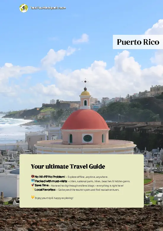
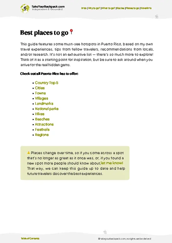
example page 0 from our offline Travel Guide for Puerto Rico
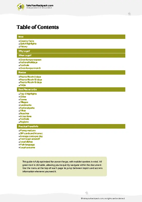
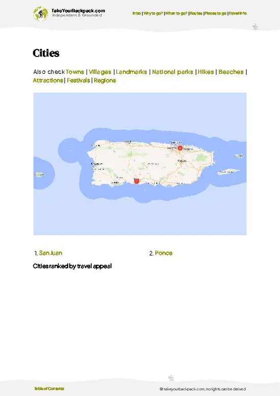
example page 1 from our offline Travel Guide for Puerto Rico
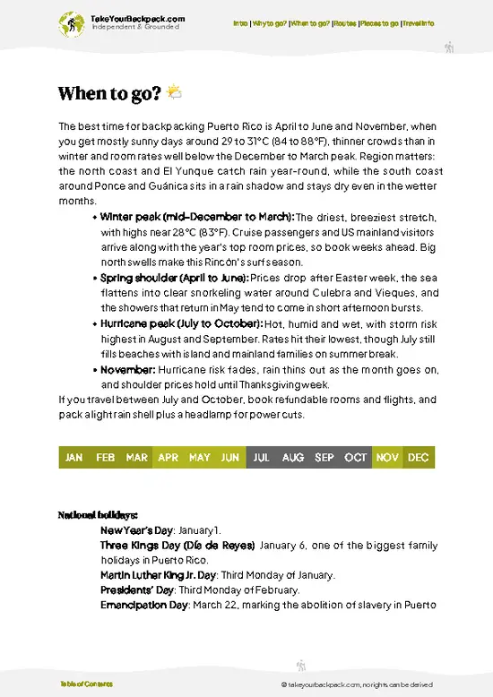
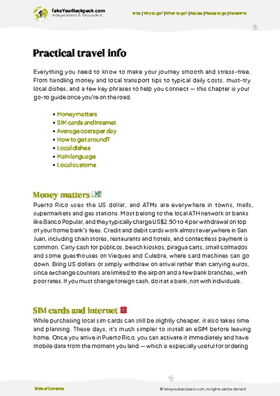
example page 2 from our offline Travel Guide for Puerto Rico
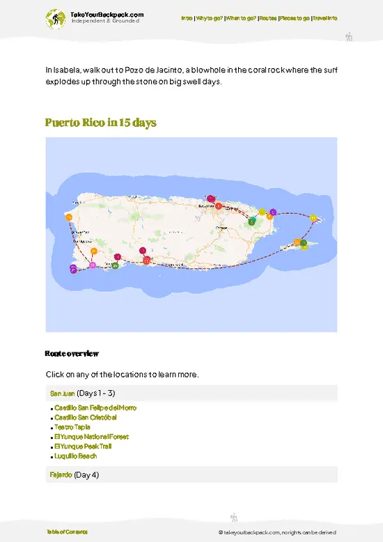
example page 3 from our offline Travel Guide for Puerto Rico
example page 4 from our offline Travel Guide for Puerto Rico
example page 5 from our offline Travel Guide for Puerto Rico
example page 6 from our offline Travel Guide for Puerto Rico
example page 7 from our offline Travel Guide for Puerto Rico
Loading the map 🌍
CLICK TO FILTER
cities
towns
villages
landmarks
national parks
hikes
beaches
attractions
festivals
regions
SHOW COUNTRY’S BESTSHOW ALL

✨ Why go?
Ranked #12 national park in Puerto Rico
The unique appeal for travelers

Río Abajo State Forest suits independent travelers who want a quiet forest morning without a tour group in sight. The big draw is the chance to hear, and with luck see, the endangered Puerto Rican parrot, which has a breeding aviary run by the wildlife program inside the forest. You can't just wander up to it, but the forest's roads and trails give you a decent shot at spotting wild birds on your own. The second reason is geography. The forest lies in the mogote limestone hills of the karst belt, so you can stitch it onto a trip through Arecibo, Utuado and the caves and rivers nearby. Self-guided works well here, since the trails are short, signed and easy to link, and you set your own pace with a picnic and a hammock.

💡 HighlightsKey sights and experiences for travelers

  1. Puerto Rican parrot habitat: The forest is home to a recovery program for this critically endangered bird. Listen for loud, raucous calls in the canopy early in the morning.
  2. Mahogany and teak plantations: Rows of tall planted trees create cathedral-like shade, and the trunks are impressive up close.
  3. Bamboo corridors: Giant bamboo arches over the paths and creaks in the wind, a sound worth stopping for.
  4. Karst mogote views: Steep, rounded limestone hills rise between the trees, giving a landscape quite unlike the coast.
  5. Bird-watching along the forest roads: Native songbirds, woodpeckers and the occasional hawk show up along the quiet tracks.
  6. Picnic areas and shelters: Simple covered spots among the trees make a good place to eat lunch and listen to the forest.
  7. Forest trails and loops: Short, mostly
… read more 👉
  1. Puerto Rican parrot habitat: The forest is home to a recovery program for this critically endangered bird. Listen for loud, raucous calls in the canopy early in the morning.
  2. Mahogany and teak plantations: Rows of tall planted trees create cathedral-like shade, and the trunks are impressive up close.
  3. Bamboo corridors: Giant bamboo arches over the paths and creaks in the wind, a sound worth stopping for.
  4. Karst mogote views: Steep, rounded limestone hills rise between the trees, giving a landscape quite unlike the coast.
  5. Bird-watching along the forest roads: Native songbirds, woodpeckers and the occasional hawk show up along the quiet tracks.
  6. Picnic areas and shelters: Simple covered spots among the trees make a good place to eat lunch and listen to the forest.
  7. Forest trails and loops: Short, mostly level walks wander through the different tree stands and are easy for almost anyone.
For a first visit, the walk beneath the mahogany and bamboo, with an ear tuned to the parrot calls, is the best use of a morning in Río Abajo State Forest.
Spotted a mistake or missing something? Contact us.

Things to do near Río Abajo State Forest

Ratings based on Tripadvisor reviews. When you book through this link, you support our work at no extra cost to you.

🌤️ When to go?Choosing the right time of year

  • Dry Season (December to April): Highs run 27 to 30°C (81 to 86°F), nights drop to 18 to 21°C (64 to 70°F), and the karst trails stay firmer underfoot. Days give roughly 11 to 12 hours of light.
  • Wet Season (May to November): Afternoon downpours turn clay paths slick and the forest turns loud with coquí frogs. Highs reach 30 to 33°C (86 to 91°F).
  • Hurricane Peak (August to October): Closures and storm cancellations are likeliest, though lodging in nearby Arecibo and Utuado is at its cheapest.
  • Weekends and Holidays: Local families fill picnic areas and campsites, while weekdays are nearly empty year-round.
Go on a weekday in February or March and start early, before the humidity builds.

source: climatestotravel.comJANJanuary: excellent for travelingFEBFebruary: excellent for travelingMARMarch: excellent for travelingAPRApril: excellent for travelingMAYMay: highly recommended for travelingJUNJune: fair for travelingJULJuly: fair for travelingAUGAugust: fair for travelingSEPSeptember: fair for travelingOCTOctober: fair for travelingNOVNovember: highly recommended for travelingDECDecember: excellent for traveling
puerto-rico-national-park-rio-abajo-state-forest
© Google |

✈️ The backpacker research shortcutPuerto Rico Travel Guide

An offline-friendly backpacking guide with optimized travel routes, ranked highlights, transport advice, and the best areas to stay.
example page 0 from our offline Travel Guide for Puerto Rico
example page 1 from our offline Travel Guide for Puerto Rico
example page 2 from our offline Travel Guide for Puerto Rico
example page 3 from our offline Travel Guide for Puerto Rico
example page 4 from our offline Travel Guide for Puerto Rico
example page 5 from our offline Travel Guide for Puerto Rico
example page 6 from our offline Travel Guide for Puerto Rico
example page 7 from our offline Travel Guide for Puerto Rico
The digital guide (310 pages) contains:
✅ 81 highlights, ranked by travel appeal
✅ Optimized 5, 10 & 15-day travel routes
✅ Cities, national parks, landmarks, beaches
✅ How to get around
✅ Offline-friendly for travel without Wi-Fi
👉 Click to see all 30+ guide features

📅 Plan smarter in minutes, not weeks
✅ Month by month travel advice
✅ Festivals & national holidays
✅ Budget expectations

🗺️ Go to the right places, skip the overrated ones
✅ Honest pros & cons of destinations
✅ Top hikes, parks & viewpoints
✅ Lesser-known places most travelers miss
✅ Clear “worth it vs skip it” guidance

🛏️ Travel smoothly without rookie mistakes
✅ Best areas to stay
✅ Transport systems explained simply
✅ Common scams & safety advice
✅ SIM cards, money & practical tips

🌍 Understand the country, not just visit it
✅ Culture & traditions
✅ 52 Essential phrases & customs
✅ Festivals worth planning around
✅ Traveler-friendly historical context
✅ Insights that make places more meaningful

📱 Built for real travel conditions
✅ Fully downloadable PDF
✅ Works completely offline
✅ Optimized for phone use
✅ Useful in remote areas & buses
✅ Everything in one place
Stop searching, start planning
Get instant access to your full guide. 30‑day money-back guarantee.
+ Add another guide for just

By proceeding you agree to our terms.
Sent to your inbox immediately after payment • 100% Secure Checkout
Best Backpacking Travel Advisor 2025 tourism awardBest Backpacking
Travel Advisor
2025
What others say about Take Your Backpack Guides:
⭐⭐⭐⭐⭐
Fantastic, amazing amount of information!
⭐⭐⭐⭐⭐
My goodness this is amazing, it's what I've been looking for hats off too you!
⭐⭐⭐⭐⭐
I think this is absolutely BRILLIANT
⭐⭐⭐⭐
Very complete and informative. It's still missing places, but I gotta to commend you
⭐⭐⭐⭐⭐
This is truly amazing, thank you, can't wait to explore it with my kids!
⭐⭐⭐⭐⭐
Awesome resource, thank you!
⭐⭐⭐⭐⭐
This is amazing! Can't wait to explore the ones I haven't seen
⭐⭐⭐⭐
I love this! Well done, great idea.
⭐⭐⭐⭐⭐
Thanks for taking the time to make this gem!
⭐⭐⭐⭐⭐
This might be the best website I've ever seen.
⭐⭐⭐⭐⭐
Congratulations, and thank you so much for your work; it's incredibly valuable.
⭐⭐⭐⭐
In all seriousness I think you did a great job pointing out the important spots
⭐⭐⭐⭐⭐
10/10 very good
⭐⭐⭐⭐⭐
As someone who's only just starting to visit regularly this is awesome, thank you.
⭐⭐⭐⭐
Thank you very much! I'm going to visit my dad, it's going to be very useful!
⭐⭐⭐⭐⭐
This is really cool! We'll be travelling for the first time and this definitely come in handy.
⭐⭐⭐⭐⭐
You are now our minister of culture, congratulations 👨‍💼
⭐⭐⭐⭐⭐
Just wanted to tell you that this is a pearl! Going to follow your recommendations.
⭐⭐⭐⭐⭐
This is so cool. I'll definitely be using the resource for my travels soon.
⭐⭐⭐⭐⭐
This is very impressive! Good work.
⭐⭐⭐⭐⭐
This is an amazing and informative site. Very well done!

🛏️ Where to stay?How to pick the right area

Río Abajo State Forest has a small camping area run by the Department of Natural and Environmental Resources, so camping inside is the most direct option, though reservations and permits are needed and facilities are basic. For beds, Utuado is the closest real base, about 15 minutes by car, with family-run guesthouses and a few mountain inns in the surrounding hills, typically US$60 to 110 a night. Arecibo, around 30 minutes north, has more choice including budget hotels and chain options from about US$70, plus restaurants and groceries for resupply. Adjuntas and Jayuya suit anyone linking this … read more 👉
Río Abajo State Forest has a small camping area run by the Department of Natural and Environmental Resources, so camping inside is the most direct option, though reservations and permits are needed and facilities are basic. For beds, Utuado is the closest real base, about 15 minutes by car, with family-run guesthouses and a few mountain inns in the surrounding hills, typically US$60 to 110 a night. Arecibo, around 30 minutes north, has more choice including budget hotels and chain options from about US$70, plus restaurants and groceries for resupply. Adjuntas and Jayuya suit anyone linking this forest with other central mountain stops, but they lie farther south and east. Dorms and hostels are rare in this region, so book ahead on weekends and holidays, when local travelers fill the small inns. A rental car makes any of these towns workable.

👛 Costs (as of 20 October 2026)Travel costs and budget guide for Río Abajo State Forest

Río Abajo State Forest costs most backpackers about US$115 to 200 per day, with a rental car taking the largest share.
CategoryBudget RangeLocal Reality
EntranceUS$0Day access is generally free, though some facilities may charge a small fee.
CampingUS$0 to 15Permit through the Department of Natural and Environmental Resources; basic facilities.
Accommodation (high season)US$60 to 90Guesthouses in Utuado or Arecibo; prices dip in the wet season.
Local transportUS$35 to 60Rental car per day plus fuel; public transit rarely reaches the forest.
Food and suppliesUS$20 to 35Fritters and plates at roadside kiosks; groceries in Arecibo or Utuado.
Total Daily BudgetUS$115 to 200Camping and sharing the car cut this sharply.


source: parquesnacionalespr.com
⚠️ Prices can change and everyone travels differently, so take this as a rough guide. Hope it helps you plan your adventure!

🥾 TrailsBest hikes in Río Abajo State Forest national park

Río Abajo State Forest offers easy, low-key walking on forest roads and short footpaths rather than a big network of famous trails. The terrain is hilly limestone country with red clay soil that turns slick after rain, so shoes with grip matter. Walks are shaded, humid and usually done in a couple of hours.
  • Forest roads loop: Wide gravel and dirt tracks pass planted mahogany and teak stands, easy going, one to two hours depending on how far you push.
  • Bamboo paths: Short stretches where giant bamboo meets overhead, flat to gently rolling, ideal for photos and birding.
  • Mogote viewpoints: Gentle climbs
… read more 👉
Río Abajo State Forest offers easy, low-key walking on forest roads and short footpaths rather than a big network of famous trails. The terrain is hilly limestone country with red clay soil that turns slick after rain, so shoes with grip matter. Walks are shaded, humid and usually done in a couple of hours.
  • Forest roads loop: Wide gravel and dirt tracks pass planted mahogany and teak stands, easy going, one to two hours depending on how far you push.
  • Bamboo paths: Short stretches where giant bamboo meets overhead, flat to gently rolling, ideal for photos and birding.
  • Mogote viewpoints: Gentle climbs on the roads open gaps in the canopy and show the rounded limestone hills, moderate effort at most.
  • Wildlife: Parrots, native songbirds, coquí frogs at dusk and lizards along the paths; early morning is best for birds.
The forest is reached by car on rural roads near Arecibo and Utuado, and public transportation does not go to the trailheads, so a rental car or taxi is the realistic option. It is quiet most days, with a few local families on weekends and holidays. Entry has traditionally been free, though facilities are basic, so bring water, insect repellent and rain gear. Conditions can change after storms, so check with the Department of Natural and Environmental Resources before heading out.
⚠️ Hiking info can sometimes be outdated or inaccurate. Before you hit the trail, check the latest conditions with locals. If you do spot anything that's off, I'd love to hear from you, so I can update it for fellow travelers.

🛡️ SafetyScams, Hazards, and Annoyances

Río Abajo is a low-risk forest, and the main hazards are mud, heat and humidity. Limestone mogotes and clay trails get slick after rain, so wear shoes with real tread and slow down on descents. Cell signal fades in the valleys, which makes it easy to lose your bearings on unsigned tracks, so download an offline map and tell someone your route. Carry more water than you expect, at least 2 liters per person, and use insect repellent for mosquitoes. Wildlife is harmless; the Puerto Rican parrot is rare and you should keep your distance. Park cars out of sight and leave nothing valuable inside. Gates may close at set hours, so check them before heading out.

FAQFrequently asked questions about Río Abajo State Forest

One full day covers Río Abajo State Forest, which suits a morning on the trails plus time at the picnic areas. Add a second day if you want to camp or combine it with nearby Utuado and the Arecibo area, about 15 to 30 minutes away by car.
Río Abajo State Forest is very hard to reach without a car, because public transit does not serve the forest roads. The practical route is renting a car in San Juan, around 1.5 to 2 hours away, or hiring a driver from Utuado or Arecibo for roughly US$40 to 80.
Day entry to Río Abajo State Forest is generally free, but camping requires a permit from the Department of Natural and Environmental Resources, usually US$0 to 15 per night. Book ahead for weekends, since local families fill the sites, and check for any gate closures after storms.
⚠️ Things can change over time, so always validate details locally before you go.

Other Puerto Rican national parks near Río Abajo State Forest

Explore more nearby:


💡 Not sure where to go next?
Create a personalized itinerary for Puerto Rico including Río Abajo State Forest and the places that fit your trip.

Generate my itinerary

👉 Discover all national parks

Or checkout all Puerto Rico has to offer (think cities, towns, villages, national parks, hikes, beaches, festivals)
Country photo of Puerto Rico

We 💚 feedbackParting advice and final tips

Río Abajo State Forest is a half-day stop, and a full day at most if you picnic and bird slowly. I would arrive at opening time, walk the bamboo stretch first, and then continue to the caves or rivers nearby rather than staying overnight.

✍️ Help improve this page!
The information on this page is based on in-depth research, insights shared by experienced travelers, and feedback from the local travel community in Puerto Rico. While every effort is made to keep the information accurate and current, conditions can change — so if you spot anything incorrect or outdated, please get in touch.


🙋‍♂️ Give feedback

👋 Meet the founderWho’s Behind Take Your Backpack?

Johan, backpacker and founder of TakeYourBackpackHi, I’m Johan (Netherlands 🇳🇱), the creator of TakeYourBackpack. Over the past 3 decades, I’ve backpacked through 90+ countries across six continents, gaining extensive experience with independent travel, long-term trips, and overland routes.

This site is built on a combination of firsthand travel experience and carefully curated insights from other backpackers. Many guides are based on places I’ve personally visited, while others bring together tips, observations, and practical advice shared by trusted travelers I’ve met along the way.

The goal is to provide realistic, experience-driven guidance — not generic itineraries — so you can explore destinations with better context, clearer expectations, and more confidence.