×

Kiribati Itinerary Planner

Build your own Kiribati trip from the ground up, exactly the way you like to travel. Choose how many days you have, pick what matters most to you from cities & towns, villages, landmarks, national parks, hikes, beaches, and attractions, then set your travel style and pace so every day feels right, whether that means lazy mornings on Bamboo Beach or slow, curious wanders through the World War II Relics of Betio. Add a starting point, an end point, and any must-see stops, and the planner turns your choices into a complete, ready-to-follow route that feels personal, balanced, and totally yours.

Plan
your Trip


We build
your Route


Get your
Travel Plan

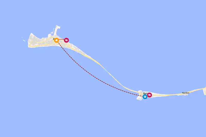
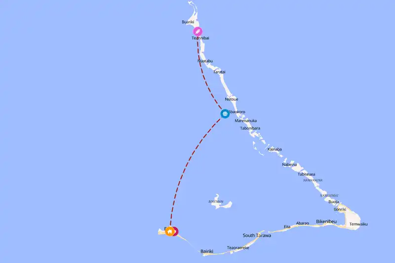
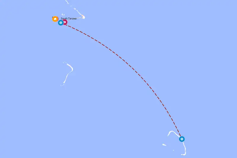
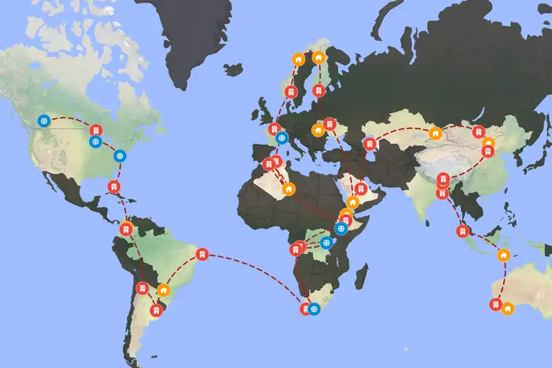
Example Kiribati itinerary planner route
Build your own Kiribati route

🇰🇮 KiribatiCreate Your Itinerary

1 How many days will you travel?
2 What are your interests?
3 Travel speed
⚙️ Advanced options

🙋 FAQFrequently asked questions

If you just want a quick look around one area, about two days is enough, but plan around three days to settle in, adjust to the pace, and see a bit more. For a more relaxed trip with time for outer islets, culture, and the odd weather delay, aim for roughly five days.
Kiribati is very isolated in the central Pacific, so it is not practical to combine it overland with any neighbor, but many travelers pair it by air with Fiji or sometimes the Marshall Islands or Tuvalu as part of a wider Pacific island hop.

Build a multi-country route
Yes. Stops are sequenced to minimize backtracking and grouped by how close they are to each other, and your chosen travel pace (fast, normal, or slow) adjusts how much ground each day covers.
Absolutely. Adjust your trip length, interests, starting point, or travel style and generate a new route in seconds.
Yes, generating and viewing your route is completely free. An offline-friendly PDF version is available as an optional purchase which gives more detailed information for each location on your route.

🗺️ RegionsThe lay of the land

Kiribati is scattered across a huge stretch of ocean, so even places that sound close on a map can actually be very far apart in real life. Spots on South Tarawa, like the World War II Relics of Betio or the Kiribati National Cultural Centre and Museum, sit in a tight cluster compared with far‑flung islands such as Kiritimati Island or the Phoenix Islands Protected Area. The planner keeps your route focused on one general area at a time, grouping nearby stops so you spend your days exploring around you instead of bouncing back and forth across the country.

📈 StatisticsPlanner insights

Our set of curated travel destinations for Kiribati

Cities & Towns: 4      Villages: 3      Landmarks: 3      National Parks: 3      Beaches: 5      Attractions: 3     

⚙️ How it worksHow the Kiribati itinerary planner works

The Kiribati itinerary planner starts by grouping places that sit reasonably close together so you are not bouncing back and forth across distant islands for no good reason, which keeps travel days shorter and more relaxed. Once it has those clusters, it lays them out in a clear overall direction that feels like a steady journey rather than a zigzag, so you might move steadily from one island group to the next instead of constantly doubling back. Inside each cluster, it looks at what each place is and how much there is around it, then gives you more time where it makes sense and less where a quick visit does the job, so a big hub with plenty nearby will naturally soak up more of your days than a single beach or viewpoint. If you chose a mix of beaches, landmarks, and attractions, for example, it might have you stay longer on Kiritimati Island as your base, then fold nearby beaches and sights into easy day trips, which feels natural on the ground because you unpack once and explore outwards instead of changing beds every night.