×

Madagascar Itinerary Planner

Build your own Madagascar trip exactly how you want it, from first sunrise in Antananarivo to that last barefoot walk on Nosy Be. Choose your trip length, mix and match what you care about most – cities & towns, villages, landmarks, national parks, hikes, beaches, attractions – then set your travel style and pace so every day feels right for you. Add a start and end point, drop in any must-see stops, and get a complete, ready-to-follow route that fits your priorities instead of forcing you into someone else’s idea of the “perfect” itinerary.

Plan
your Trip


We build
your Route


Get your
Travel Plan

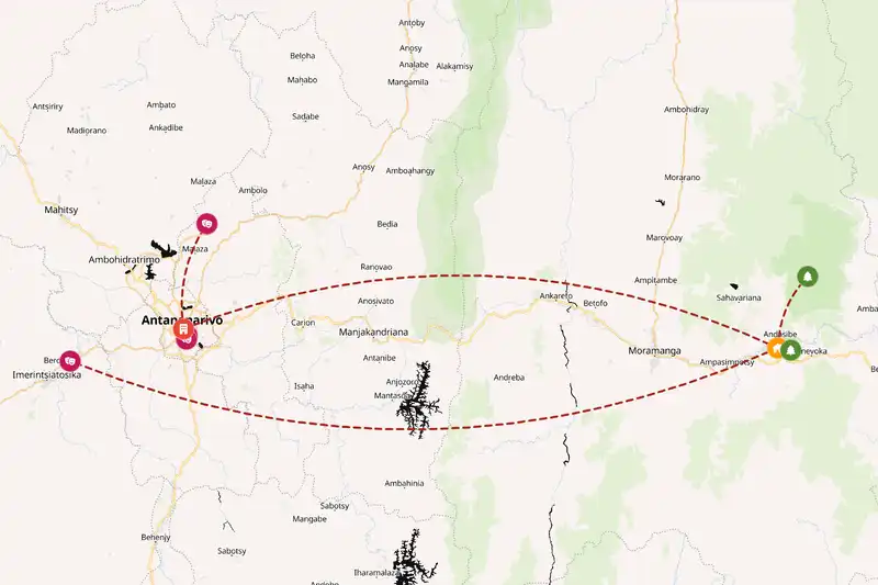
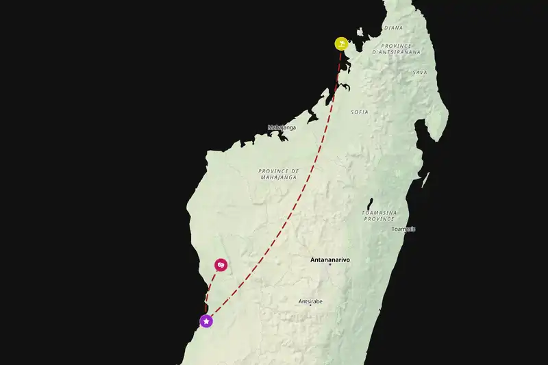
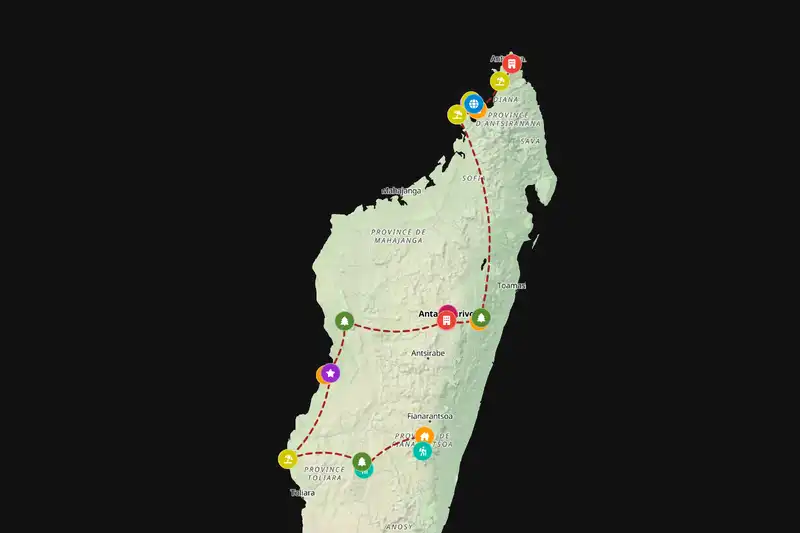
Example Madagascar itinerary planner route
Build your own Madagascar route
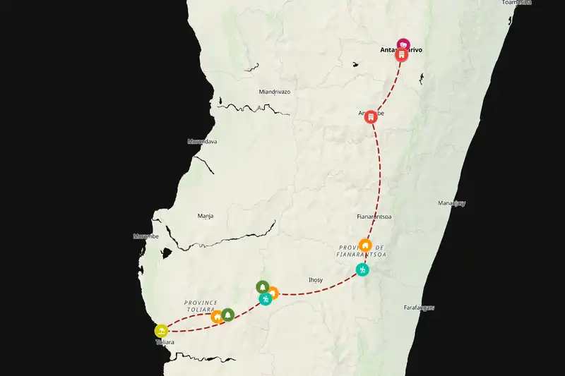
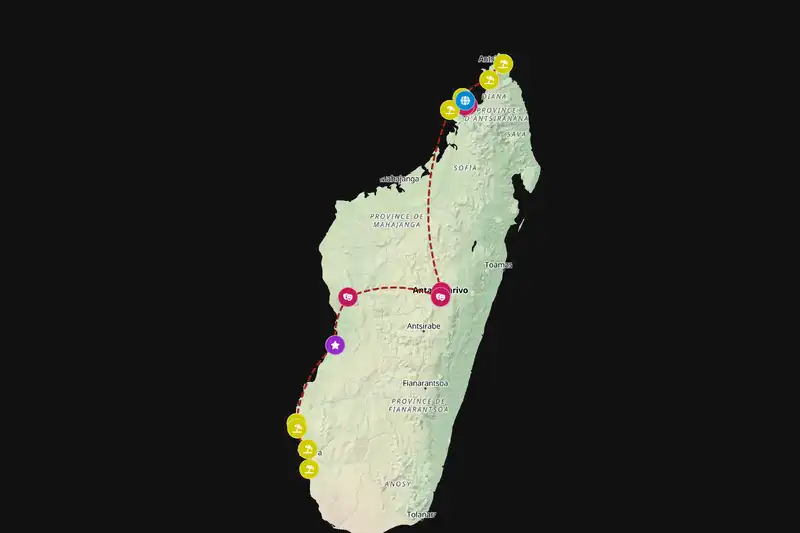
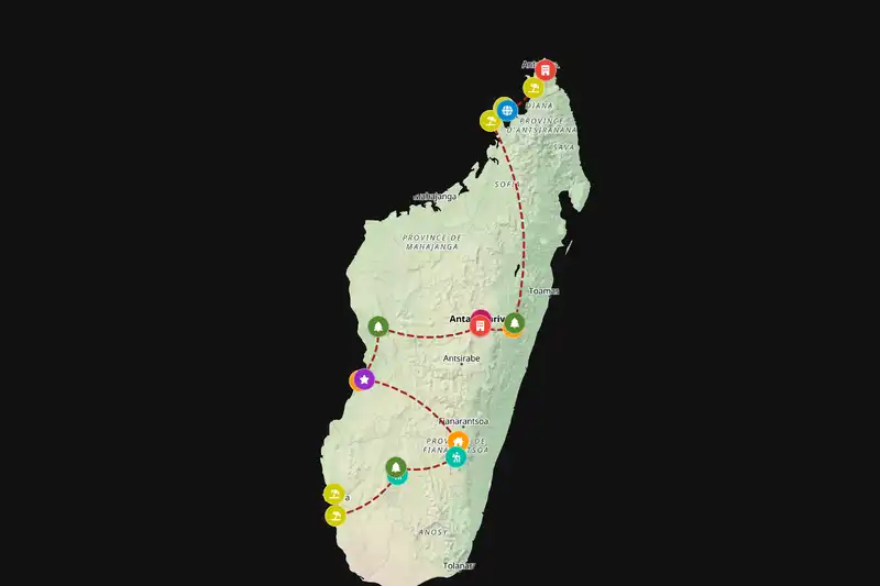
Example Madagascar itinerary planner route
Build your own Madagascar route
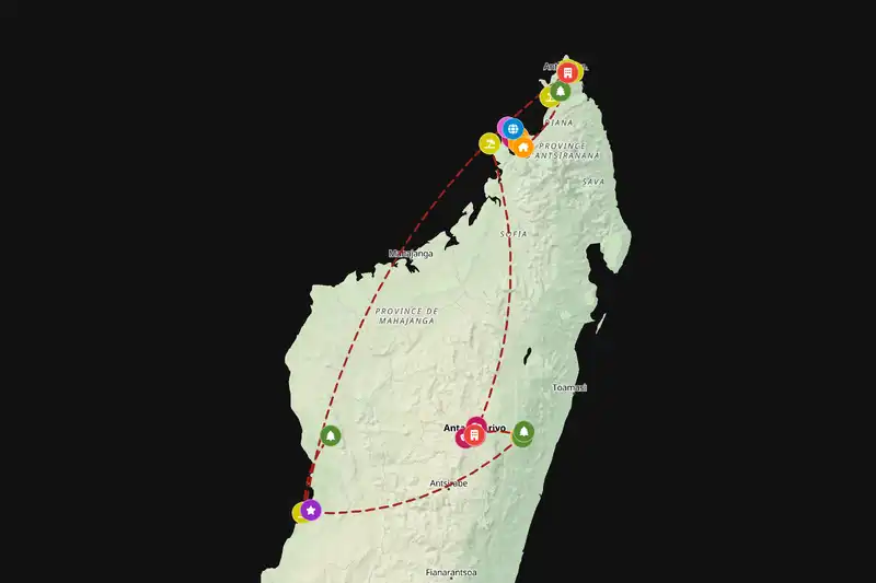
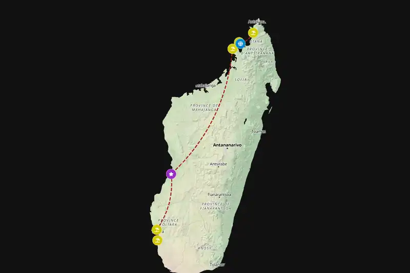
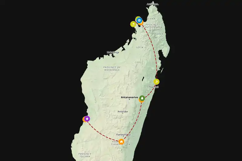
Example Madagascar itinerary planner route
Build your own Madagascar route
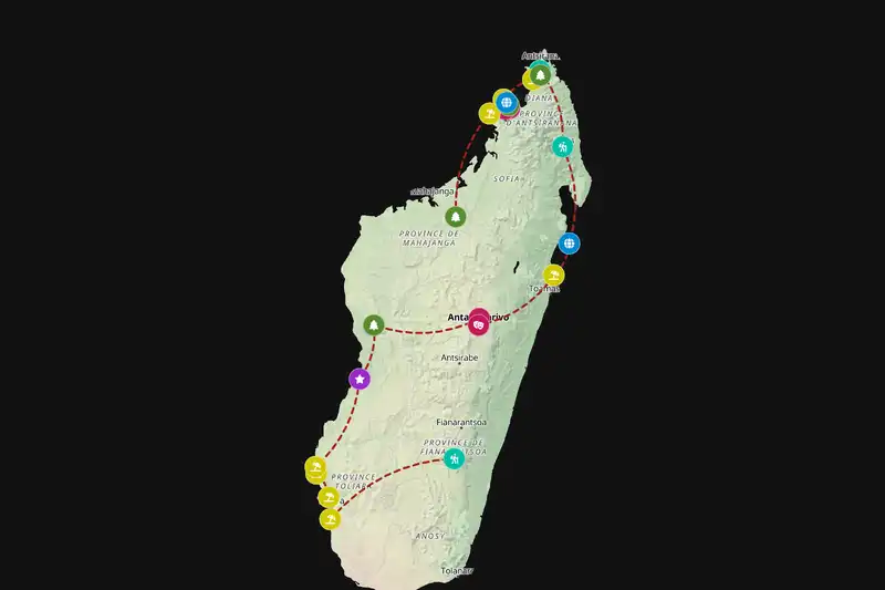
Example Madagascar itinerary planner route
Build your own Madagascar route
Example Madagascar itinerary planner route
Build your own Madagascar route
Example Madagascar itinerary planner route
Build your own Madagascar route
Example Madagascar itinerary planner route
Build your own Madagascar route

🇲🇬 MadagascarCreate Your Itinerary

1 How many days will you travel?
2 What are your interests?
3 Travel speed
⚙️ Advanced options

🙋 FAQThings travelers often ask

If you only have about a week you can cover one region well, around two weeks lets you link a couple of areas like highlands and coast, and close to three weeks gives you time to cross the island more slowly and see both classic parks and quieter spots without rushing.
Madagascar is an island with no land borders, so in practice you visit it on its own rather than combining it overland with nearby countries like Mozambique, Tanzania, or Mauritius, which all require separate flights and extra time.

Build a multi-country route
Yes. Stops are sequenced to minimize backtracking and grouped by how close they are to each other, and your chosen travel pace (fast, normal, or slow) adjusts how much ground each day covers.
Absolutely. Adjust your trip length, interests, starting point, or travel style and generate a new route in seconds.
Yes, generating and viewing your route is completely free. An offline-friendly PDF version is available as an optional purchase which gives more detailed information for each location on your route.

🗺️ RegionsRegions worth knowing about

Madagascar is big, slow to cross, and its highlights are scattered, from the forests around Andasibe-Mantadia National Park to the far-off beaches near Nosy Be. Distances that look small on a map can quietly eat up most of a day, and jumping back and forth between areas just to tick off sights usually means more time in transit than actually exploring. This planner keeps things realistic by grouping places that sit in the same broad area, so you can link spots like a city, a nearby park, and maybe a coastal stop into one smoother stretch instead of zigzagging across the island. It nudges you toward a route that feels like a steady journey, not a frantic chase, while still leaving room to add a big detour for something special like the Avenue of the Baobabs.

📈 StatisticsMadagascar by the numbers

Our set of curated travel destinations for Madagascar

Cities & Towns: 33      Villages: 2      Landmarks: 1      National Parks: 24      Hikes: 8      Beaches: 27      Attractions: 15     

Routes created by others

7

Routes created

18

Average trip length (days)

15

Average destinations

Most popular interests

  • ⭐️ Landmarks (100%)
  • 🏖️ Beaches (100%)
  • 🎡 Attractions (86%)
  • 🏞️ National Parks (57%)
  • 🚶‍♀️ Hikes (57%)

Most included destinations

⚙️ How it worksBuilding your route, step by step

The planner starts by looking at how long you have, what kind of pace you like, and which of the set interests you tick, then it pulls together real places in Madagascar that match, grouping nearby spots so you are not bouncing back and forth across the island. It bunches those nearby places into loose “zones” and then lays them out in a logical overall direction, so you move steadily, for example, from Antananarivo westward or northward instead of zigzagging in all directions and wasting days in transit. Within each zone, it decides how long you stay in each stop based on what it is and how much is around it: a bigger city or town with several nearby sights usually becomes your base for a few nights, while smaller villages, viewpoints, or beaches in the same area are slotted in as half-day or full-day outings. If you chose a moderate pace with cities, national parks, and attractions, it might keep you in Antananarivo for several nights, using it as a hub for nearby day trips, then move you on to the next cluster in a straight, sensible line that fits your total trip length.