×

Marshall Islands Itinerary Planner

Build your own Marshall Islands trip from the ground up, exactly the way you like to travel. Set your trip length, pick what matters most to you – cities & towns, villages, landmarks, national parks, hikes, beaches, attractions – then choose your travel style and pace so every day feels right, whether you’re lingering on Eneko Beach or moving steadily between islands. Add a starting point, an ending point, and any must-see stops like the Majuro Island Walk, and the planner turns your choices into a complete, day‑by‑day route that fits your priorities instead of forcing you into a one‑size‑fits‑all tour.

Plan
your Trip


We build
your Route


Get your
Travel Plan

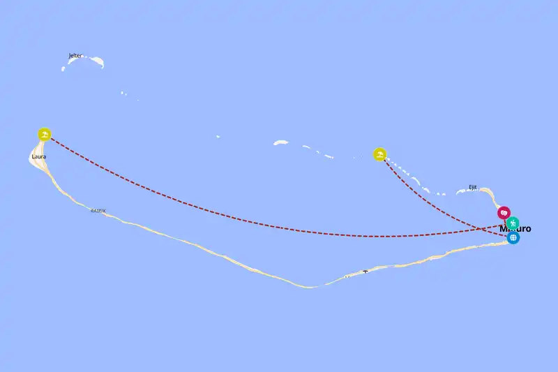
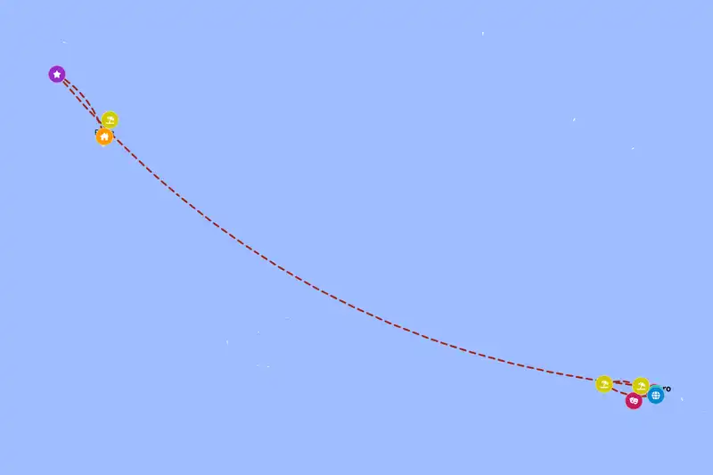
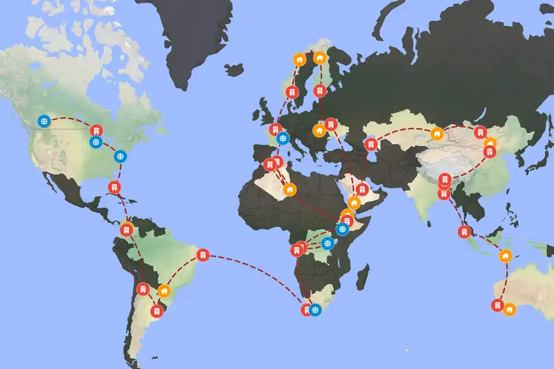
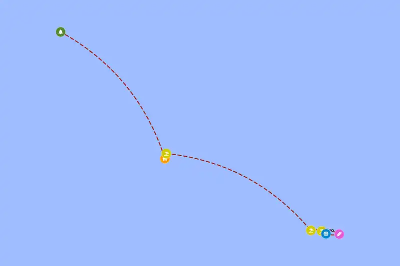
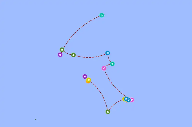
Example Marshall Islands itinerary planner route
Build your own Marshall Islands route

🇲🇭 Marshall IslandsCreate Your Itinerary

1 How many days will you travel?
2 What are your interests?
3 Travel speed
⚙️ Advanced options

🙋 FAQCommon questions before you plan

If you just want a quick look at Majuro and nearby spots, 2 days is enough, but give yourself about 3 days to explore at a relaxed pace and around 5 days if you want time for outer atolls, diving, and dealing with weather or flight hiccups.
The Marshall Islands are very remote with no true overland neighbors, but many travelers pair them with other Pacific hubs like Fiji, Kiribati, or the Federated States of Micronesia by using regional flights through the same island region.

Build a multi-country route
Yes. Stops are sequenced to minimize backtracking and grouped by how close they are to each other, and your chosen travel pace (fast, normal, or slow) adjusts how much ground each day covers.
Absolutely. Adjust your trip length, interests, starting point, or travel style and generate a new route in seconds.
Yes, generating and viewing your route is completely free. An offline-friendly PDF version is available as an optional purchase which gives more detailed information for each location on your route.

🗺️ RegionsHow spread out things are

The Marshall Islands are scattered over a huge stretch of ocean, with atolls and islands sitting far apart from each other rather than in one tight cluster. Places that feel close on a map, like a beach near Majuro Island Walk or a historic site out by Kwajalein Atoll, can still be separated by long distances once you factor in the open water between them. This planner keeps your route sensible by grouping nearby spots into the same leg of the trip, so you spend more of your time exploring and less time bouncing back and forth across the country.

📈 StatisticsStatistics

Our set of curated travel destinations for Marshall Islands

Cities & Towns: 1      Villages: 3      Landmarks: 3      National Parks: 4      Hikes: 3      Beaches: 5      Attractions: 3     

⚙️ How it worksHow the Marshall Islands itinerary planner works

The planner starts by grouping places that sit reasonably close together so you are not bouncing back and forth across the Marshall Islands, which cuts down on wasted boat rides and flights and keeps each travel day feeling straightforward. Once it has those clusters, it lays them out in a clear overall direction, like moving steadily from one atoll to the next instead of sending you out to a remote spot and then dragging you back past where you just were, so your route feels like a smooth line rather than a zigzag. Within each cluster, it looks at what you said you care about — cities & towns, villages, landmarks, national parks, hikes, beaches, attractions — and then decides how long you should reasonably stay in each place, based on what it is and how much is nearby. A bigger hub with several things around it, like Majuro, often becomes your base for a few nights, while smaller spots in the same area turn into simple day trips, so you can visit beaches, museums, or short walks without constantly packing up and changing beds.