×

Suriname Itinerary Planner

Tell us how many days you have, what pulls you (towns, villages, landmarks, parks, hikes, beaches, attractions) and how fast you like to move, and the route comes together around you. Want to start in Paramaribo and end somewhere with sand underfoot? Add a start, an end, and any stop you refuse to miss. Slow mornings or packed days, your pace and your priorities set every turn.

Plan
your Trip


We build
your Route


Get your
Travel Plan

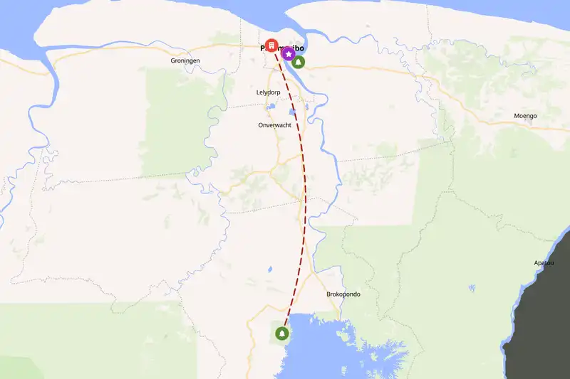
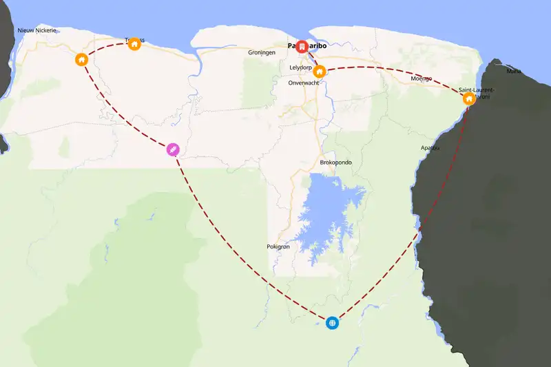
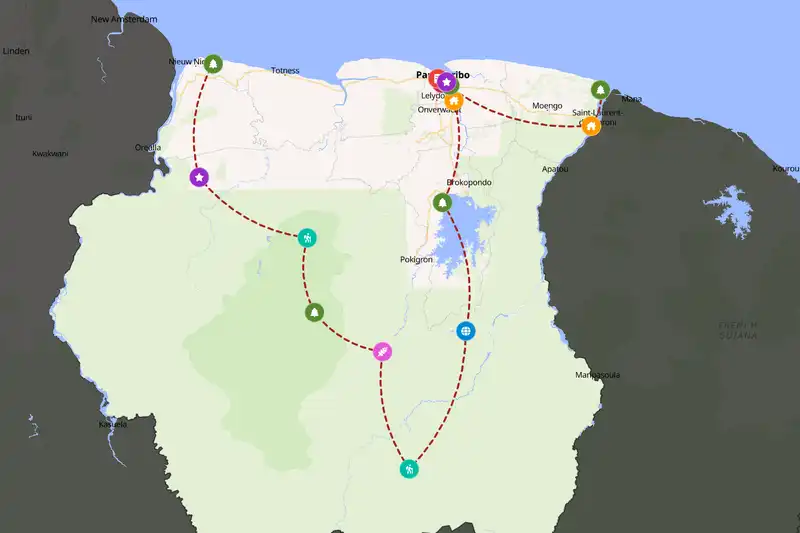
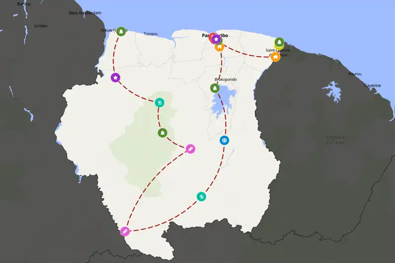
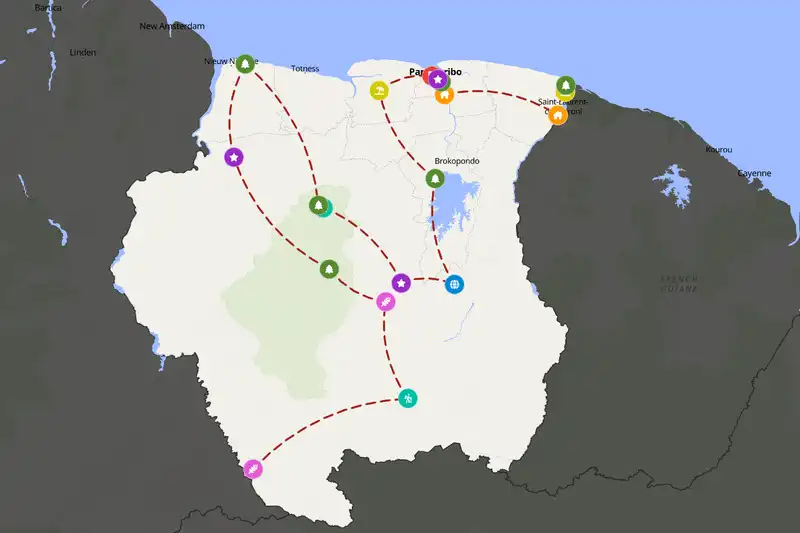
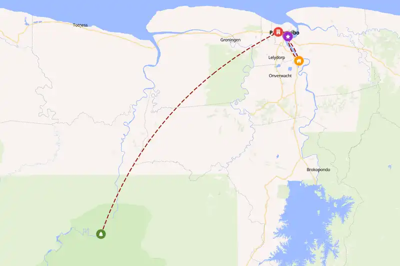
Example Suriname itinerary planner route
Build your own Suriname route
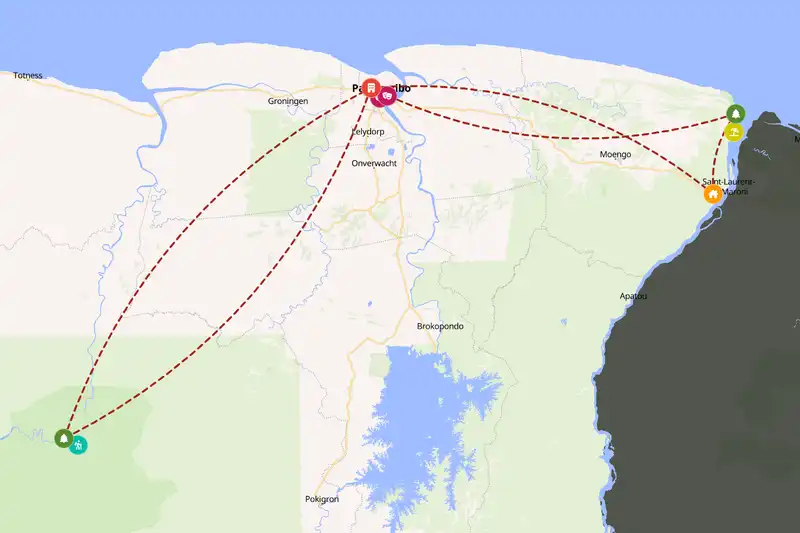
Example Suriname itinerary planner route
Build your own Suriname route
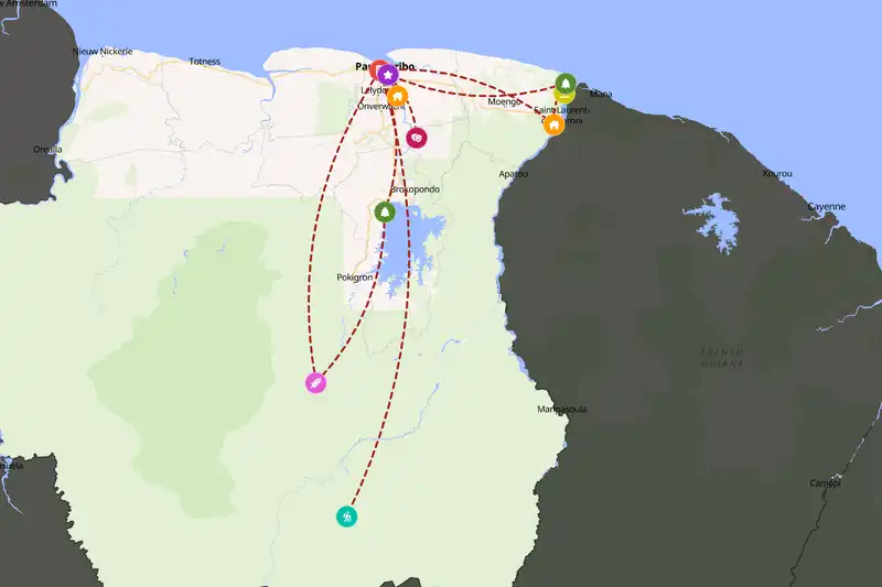
Example Suriname itinerary planner route
Build your own Suriname route
Example Suriname itinerary planner route
Build your own Suriname route
Example Suriname itinerary planner route
Build your own Suriname route
Example Suriname itinerary planner route
Build your own Suriname route

🇸🇷 SurinameCreate Your Itinerary

1 How many days will you travel?
2 What are your interests?
3 Travel speed
⚙️ Advanced options

🙋 FAQThings travelers often ask

Five days covers a short trip, mostly Paramaribo and a nearby excursion. Ten days gives you time to add a stay in the interior, and fifteen lets you go deeper into the rainforest without rushing.
Yes. Suriname borders Guyana to the west and French Guiana to the east, and Brazil lies along its southern edge, so many travelers link the Guianas into one trip.

Build a multi-country route
Yes. Stops are sequenced to minimize backtracking and grouped by how close they are to each other, and your chosen travel pace (fast, normal, or slow) adjusts how much ground each day covers.
Absolutely. Adjust your trip length, interests, starting point, or travel style and generate a new route in seconds.
Yes, generating and viewing your route is completely free. An offline-friendly PDF version is available as an optional purchase which gives more detailed information for each location on your route.

🗺️ RegionsRegions worth knowing about

Suriname is a big, thinly settled country, and its places sit far apart. Paramaribo and Fort Zeelandia share a few humid, tree-shaded blocks you can cover on foot, while Kasikasima lies deep in the interior, a long haul away. Distances are real, so the planner keeps neighbors together and moves you in one direction instead of zigzagging. You spend more time in each place and less staring through a windshield.

📈 StatisticsSuriname travel stats

Our set of curated travel destinations for Suriname

Cities & Towns: 5      Villages: 4      Landmarks: 4      National Parks: 11      Hikes: 3      Beaches: 2      Attractions: 6     

Routes created by others

5

Routes created

14

Average trip length (days)

11

Average destinations

Most popular interests

  • 🌆 Cities & Towns (100%)
  • 🌽 Villages (80%)
  • ⭐️ Landmarks (80%)
  • 🏞️ National Parks (80%)
  • 🚶‍♀️ Hikes (80%)

Most included destinations

⚙️ How it worksBuilding your route, step by step

Pick your trip length, your interests and a pace, and the planner lays out a day-by-day route from real Suriname locations. First it gathers nearby places into clusters, so you spend your days at one spot instead of burning them on the road back and forth. Then it sets a sensible direction through those clusters, moving steadily from one to the next with no criss-crossing. Finally, each stop gets time that matches what it is and what surrounds it. Paramaribo is the example: with so many sights packed close together, it becomes a base where you unpack, stay several nights, and treat the smaller places nearby as day trips, then return in the evening to a familiar street and a hot meal. A lone spot with nothing around it gets a shorter visit. The result is a route where the order and the days make sense, and you can see why each stop sits where it does.